Annapurna Base Camp
Photos and stories from my 9-day trek in Nepal.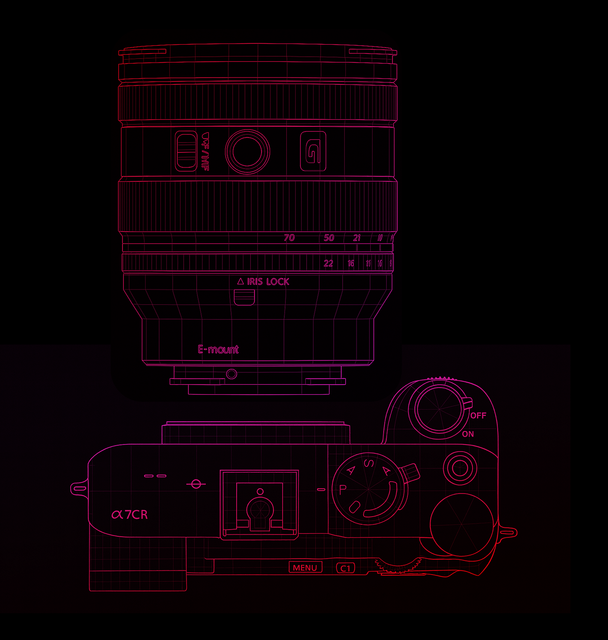
Best viewed in wide screen. Shot on Sony A7CR, 20-70 F4. Best consumed in a wide screen. 
“6:30pm, November 5th. I was walking up and down inside a tea house, wearing three layers trying to feel the warmth, trying to reduce the nauseous feeling. My head had been pounding since 3pm and it had only gotten worse. I checked my blood oxygen multiple times with my Garmin watch and every time it showed a number lower than previously recorded — the lowest being 68%. This was the first time I was feeling this way and I knew exactly what caused it: altitude sickness. I would be lying if I said ‘Why the heck did I sign up for this hike?’ didn’t cross my mind that evening.”
How did I get here?
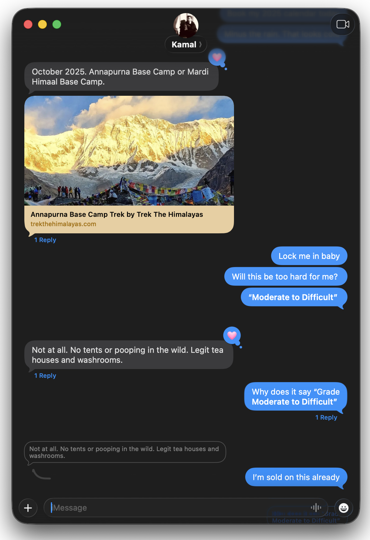
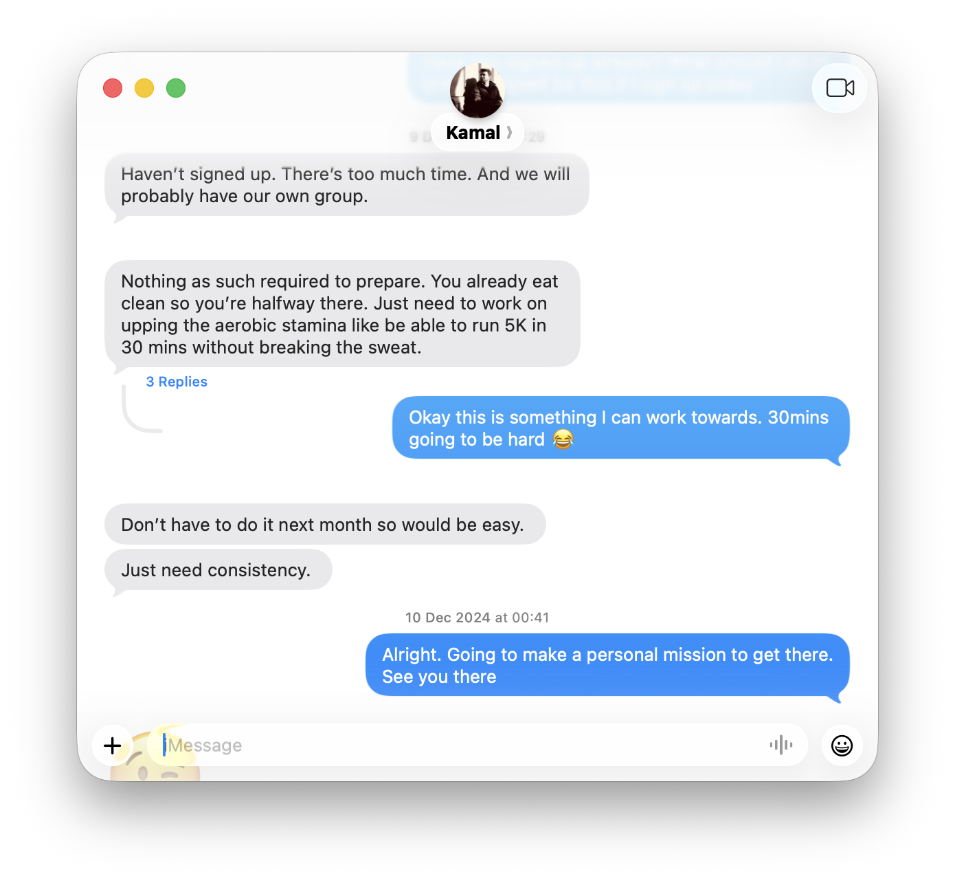
In early November 2025, we decided to pursue one of the biggest goals of the year — to reach Annapurna Base Camp. I first learned about this hike through my friend Kamal, who did it in 2018 and wrote about it.
So when he asked me again in 2024, I signed up instantly, but I was terrified of the altitude sickness and whether I was really fit to climb it. To my surprise Meg, my partner also signed up for the hike with me.
The Hike
The trek is about 70 km over 9 days, reaching a maximum altitude of 4,136 m. It's rated moderate — no technical climbing, just hiking through villages, forests, and high-altitude terrain with teahouse accommodation with hot food. Having never done a multi-day hike before, this felt like a perfect kind of goal for 2025.
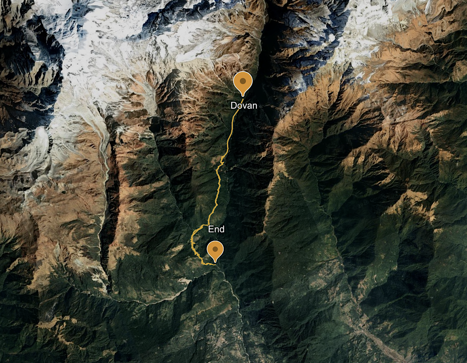
We will be starting from Pokhara, drive to Ghandruk, then hike up through villages and forest for a few days. We will then hit Machhapuchhare Base Camp and finally reach Annapurna Base Camp at the top. Then we turn around and hike back down, finishing with hot springs at Jhinu before driving back to Pokhara. Sounds easy right?
Prep
Over the next six months, Meg and I ran and did strength training. She had hiked a few years ago and had a wonderful time in Cape Raoul in Tasmania, Rob Roy’s Glacier in NZ— but we never did multi day hikes before, so she was super excited to see it through.
I started enjoying running during this process. I had run a few years ago but stopped. Kamal’s advice on running in Zone 2 was helpful to get started. Picking it up again and running in Zone 2 was particularly hard, but it kept me challenged and motivated for the hike.
After months of prep, on October 30th, we started our trip to Kathmandu, Nepal. Nervous, but we were excited for
this adventure.
Day 1
Phewa lake feels like the lake that you can just sit down and look at it and ponder for hours. However, our car was waiting for us to take to the mountains and we had to leave this beautiful view
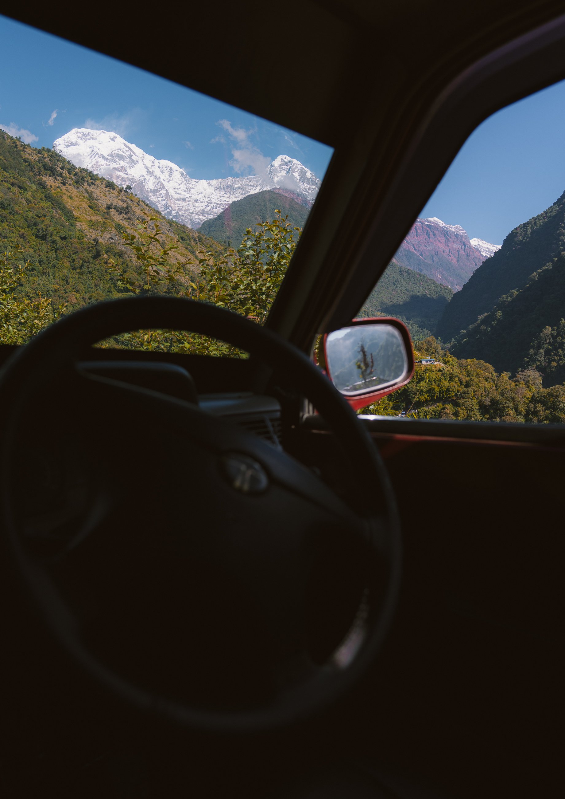
Day 1: Kathmandu to Pokhara
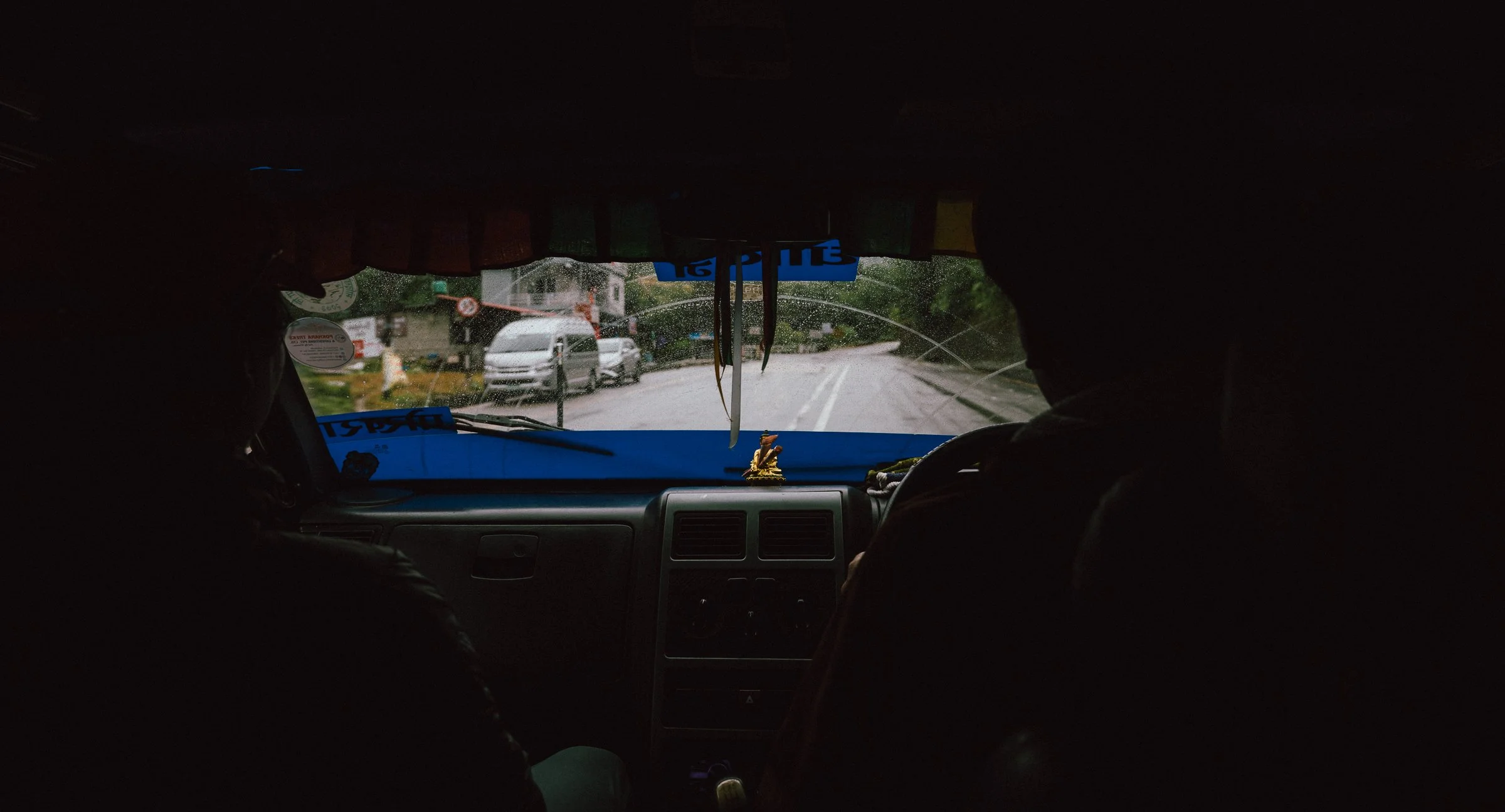
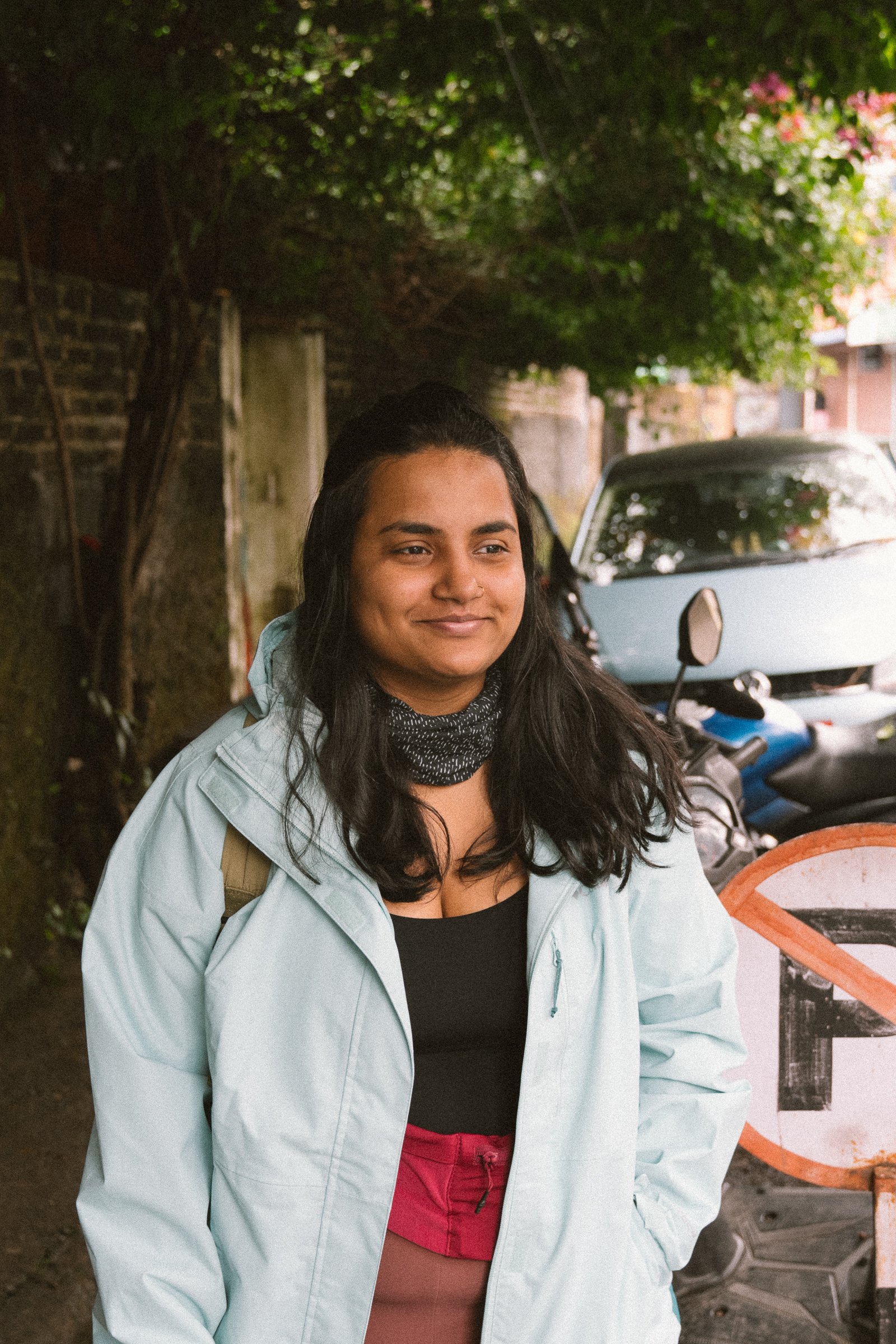
Altitude: 1,324m → 822mWe started early, 5am from our hotel, to catch an 8am flight. Pokhara Airport was unfortunately closed and there was no sign the airport is going to open up soon. We had to reach by evening. We didn't want to take the risk of waiting, so we tried for the next best option — a bus, which takes about 8 hours from Kathmandu. But the morning buses had already departed, so we went with the third best option: an expensive taxi from Kathmandu. After approximately 9hours we finally reached pokhara. The roads were so windy and barely gave us any room to fall asleep, but we did manage some rest. Pokhara was beautiful. Even though it was pretty late, the streets were buzzing with people at 9pm.
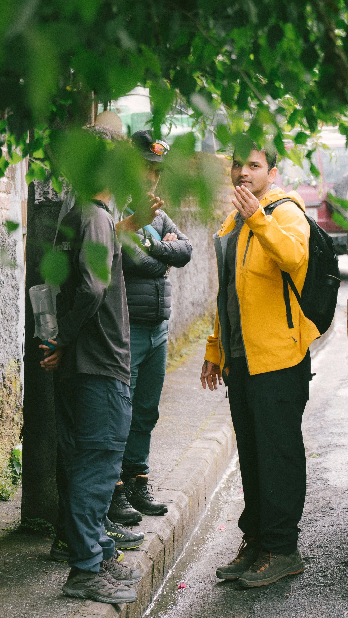
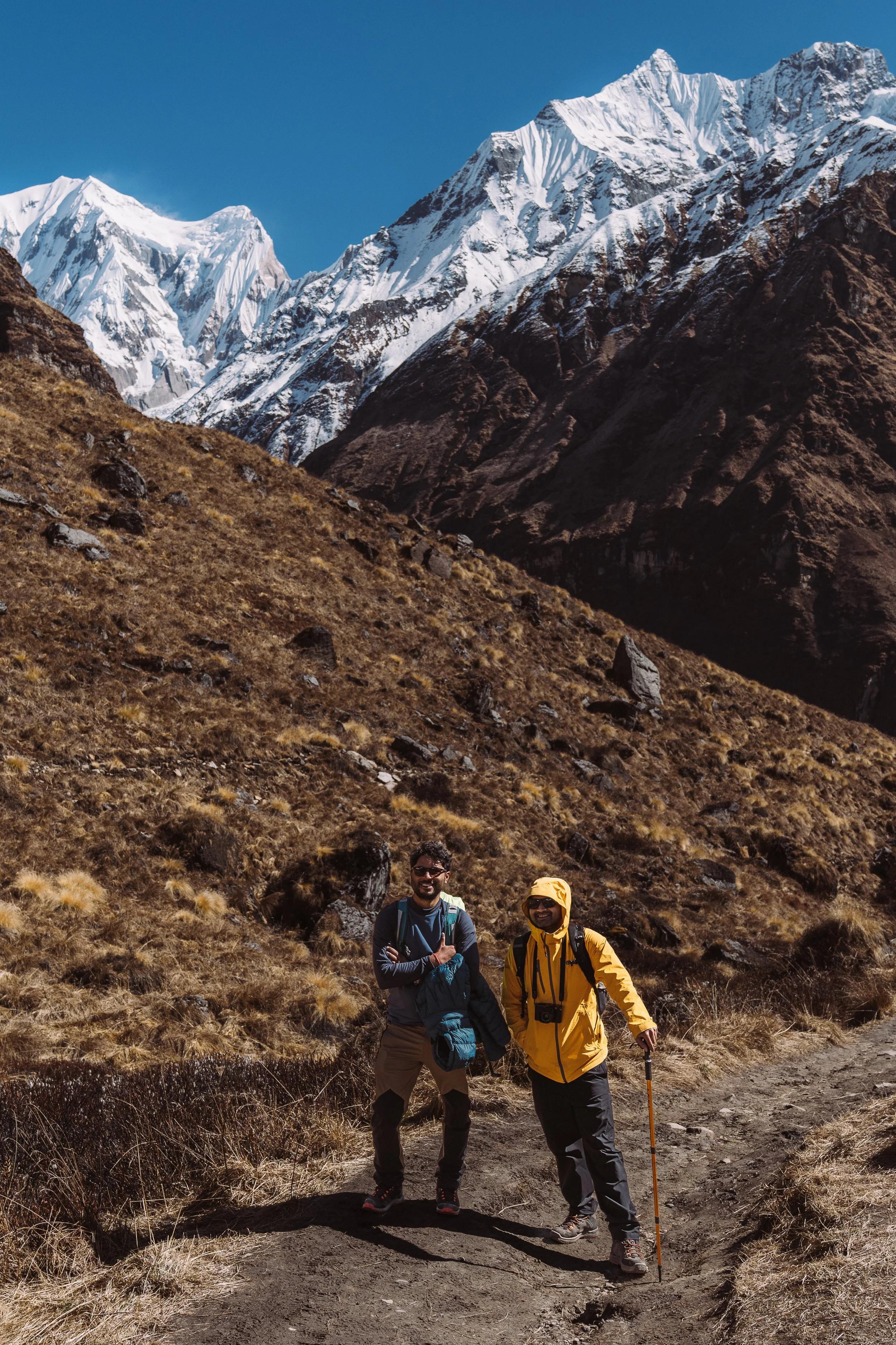
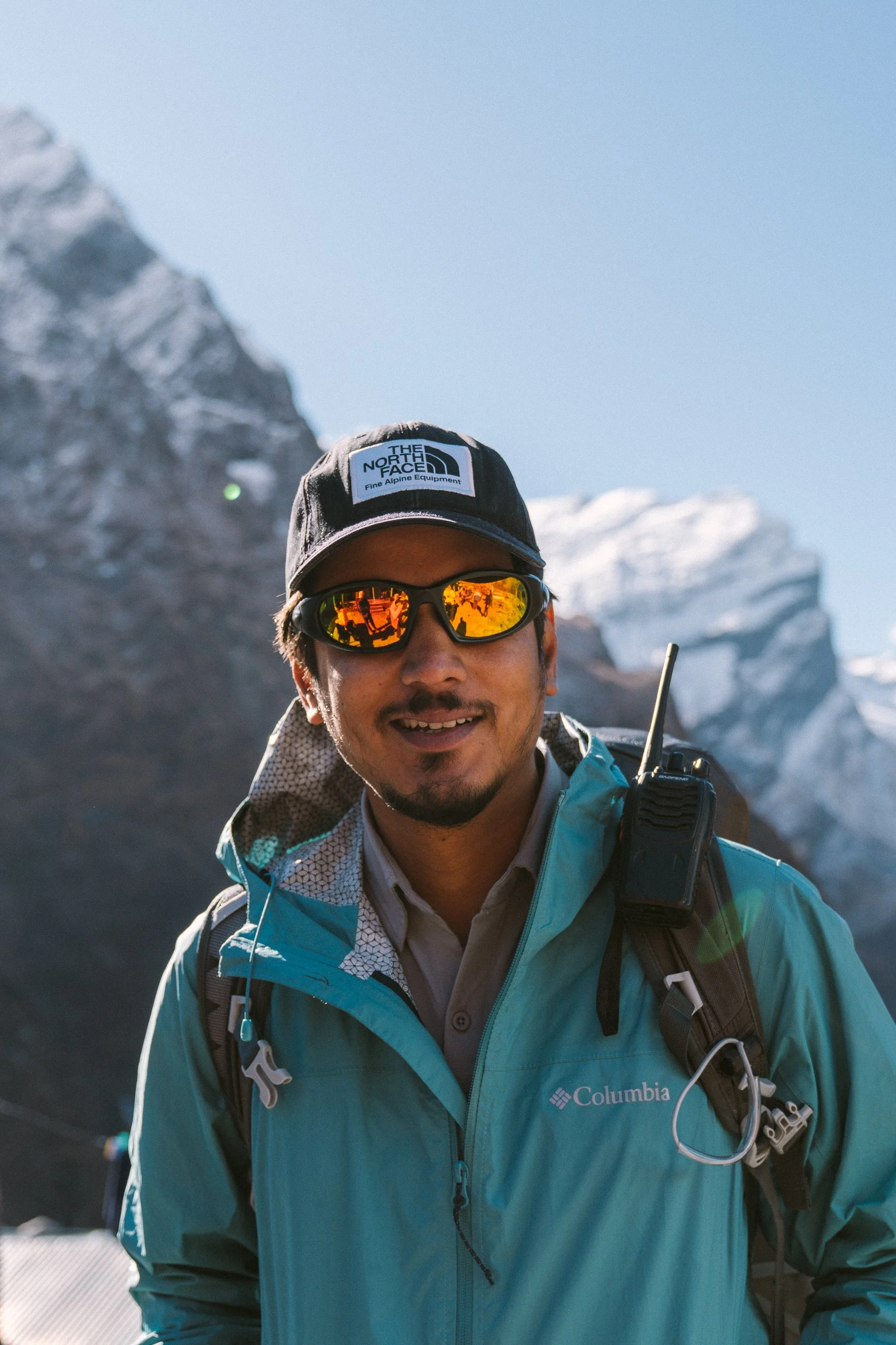
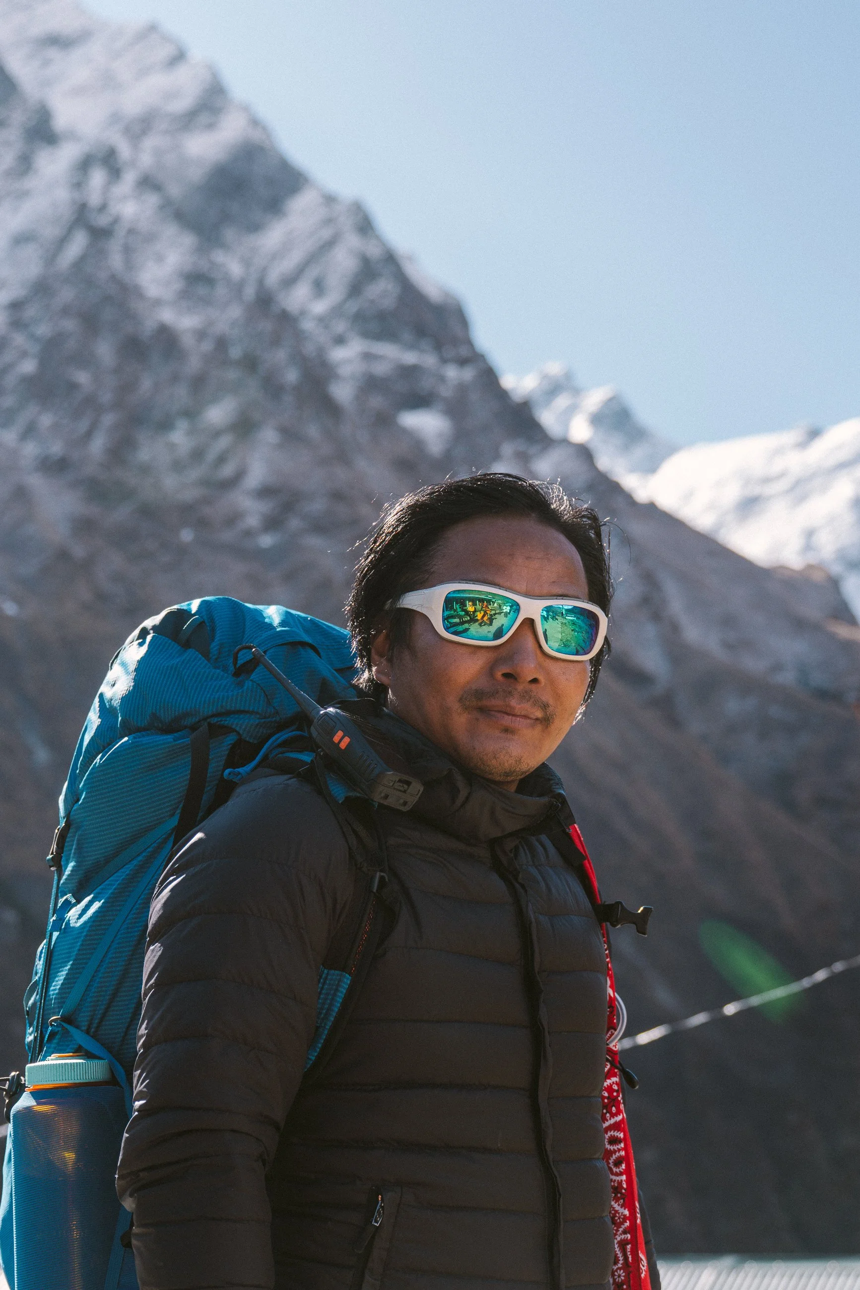
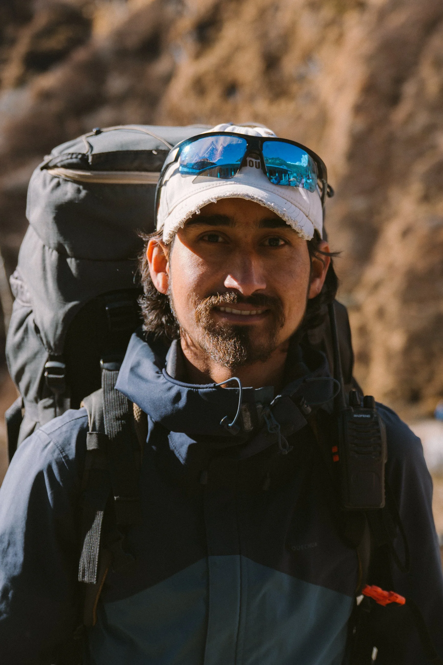
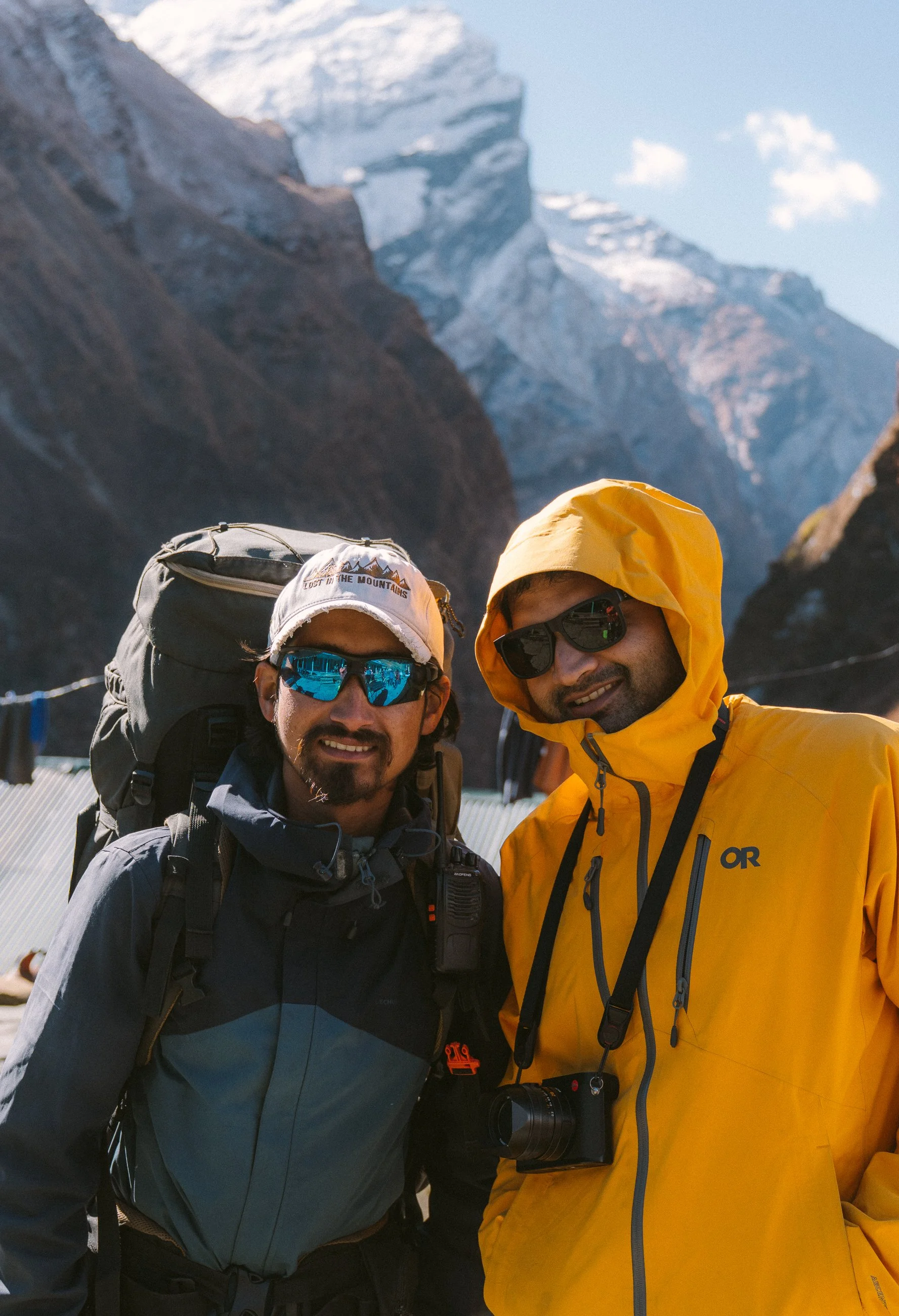
That evening, we met the rest of our group – twelve of us in total, plus guides and porters. Kamal was there with his brother Priyanshu, and friends Ankit and Prashant. We ended the night feeling ready for the hike.
Day 2
Day 2: Reaching Ghandruk Village
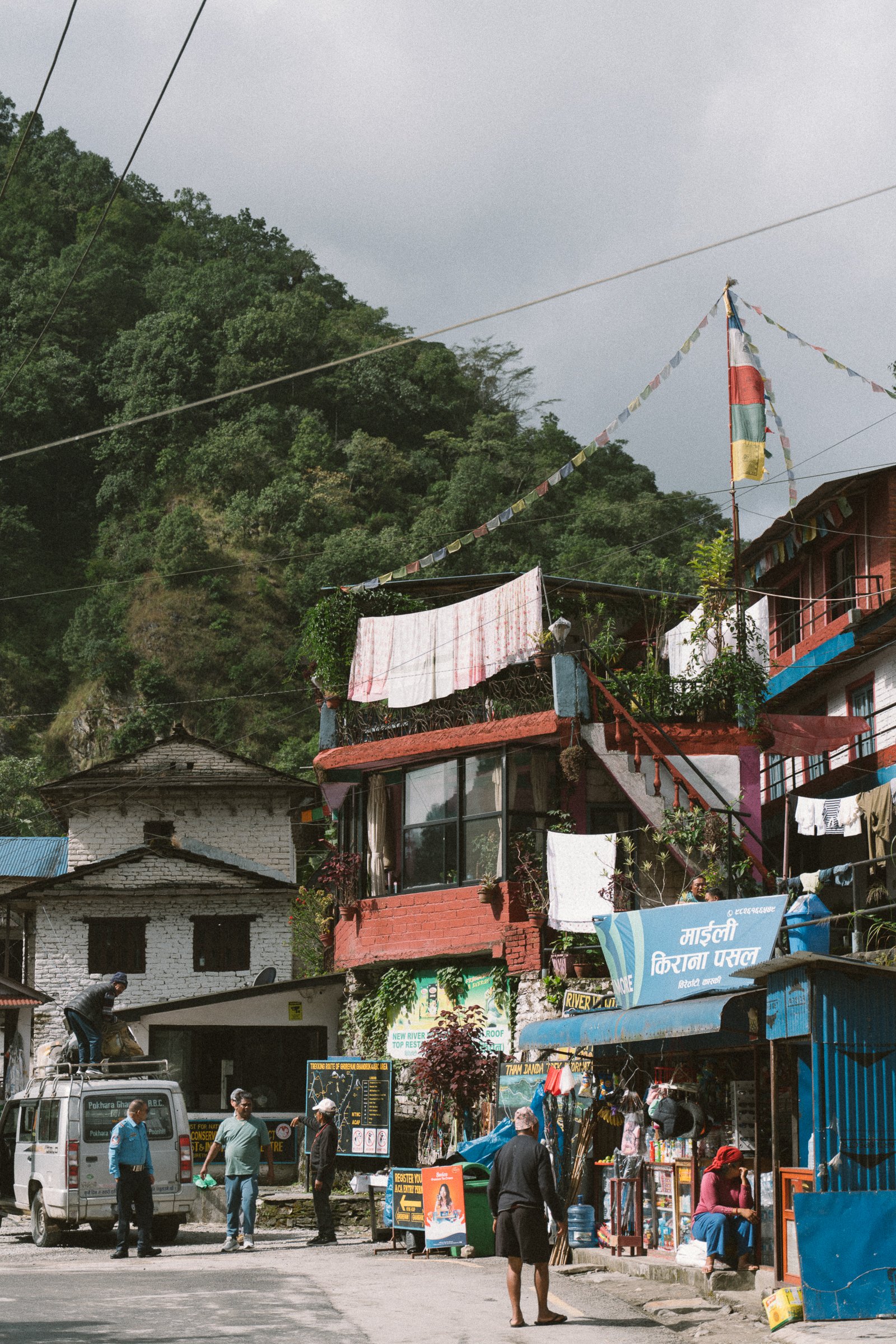
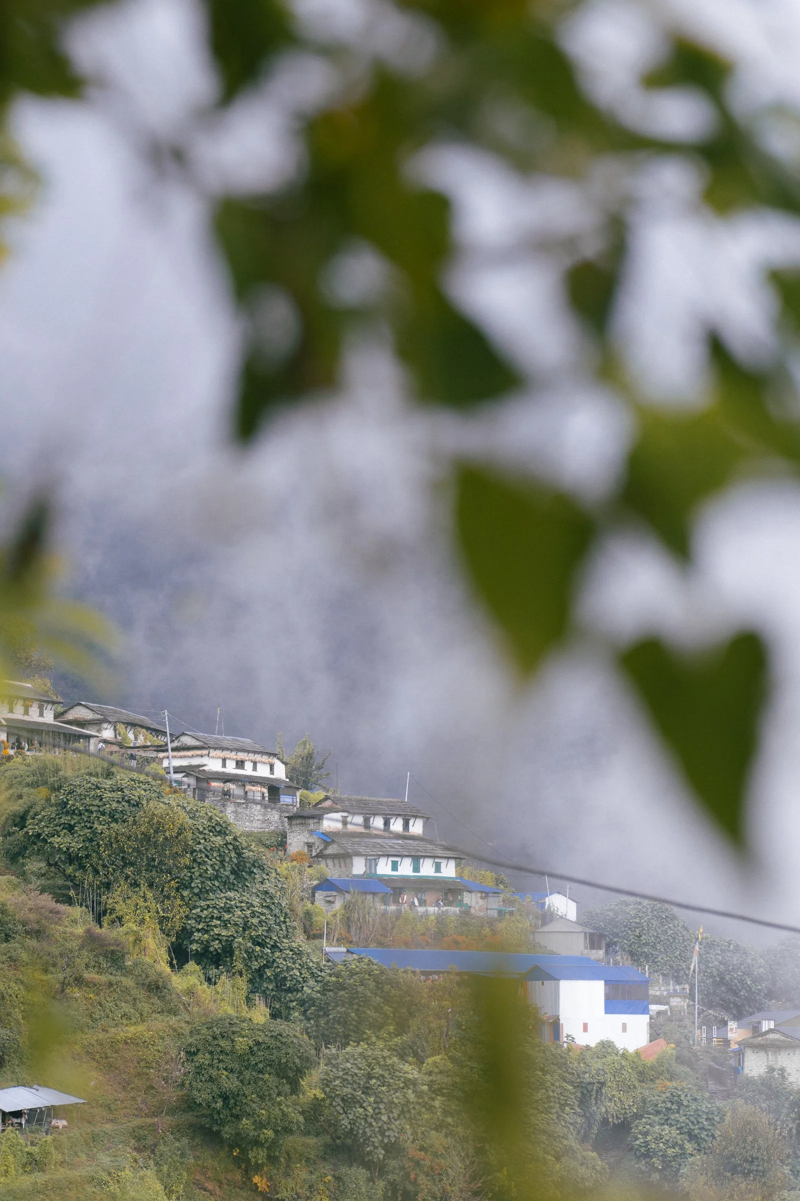
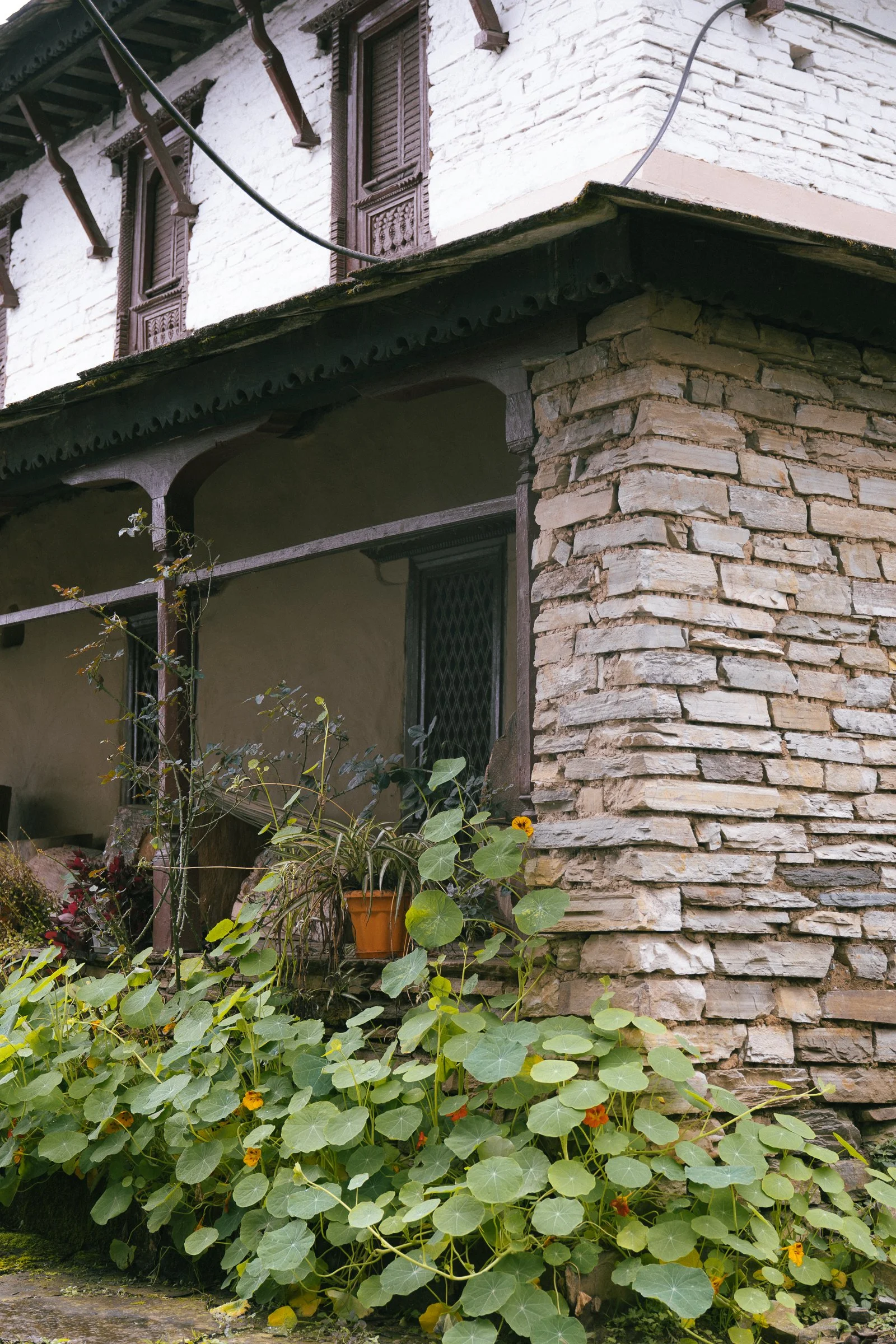
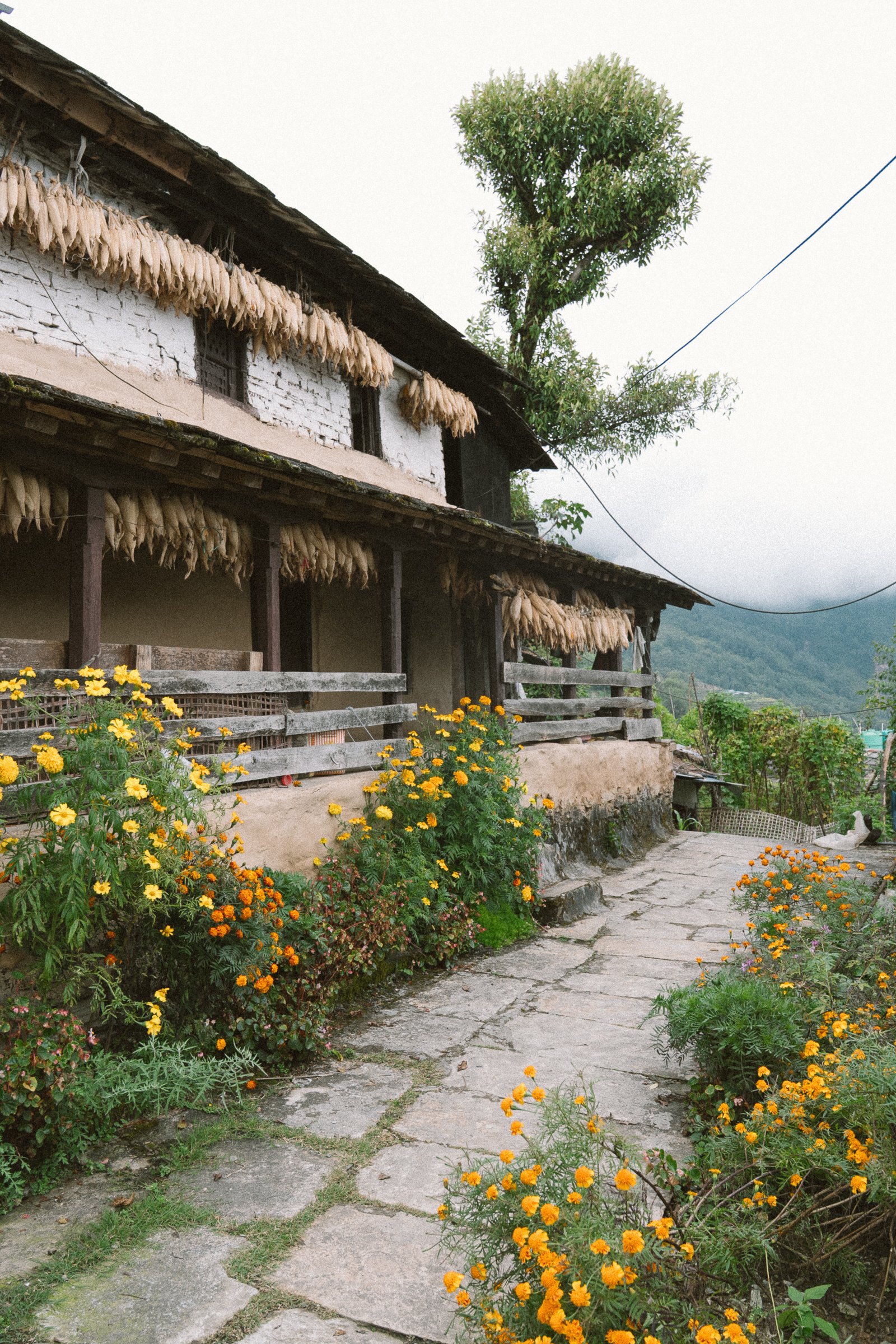
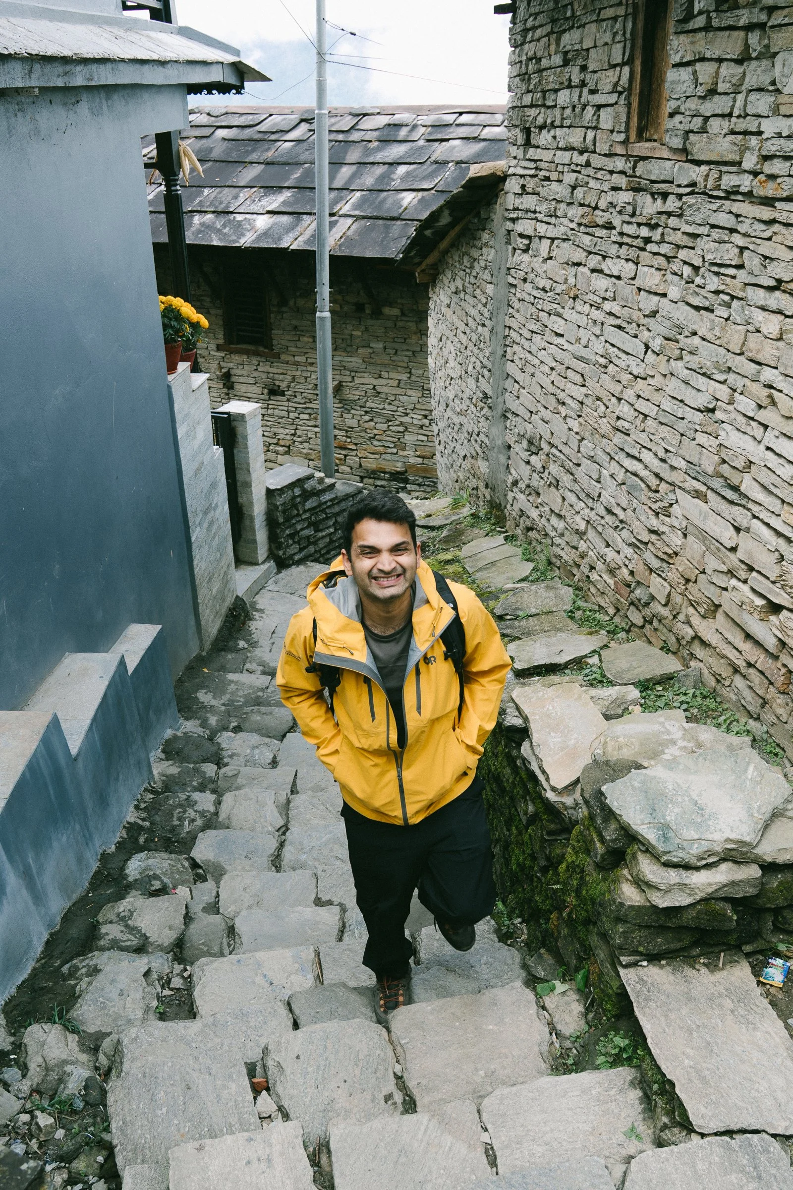
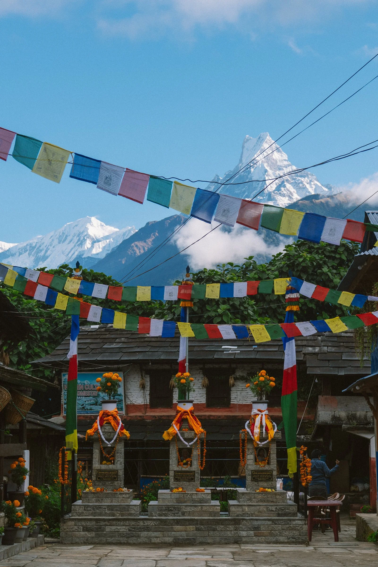
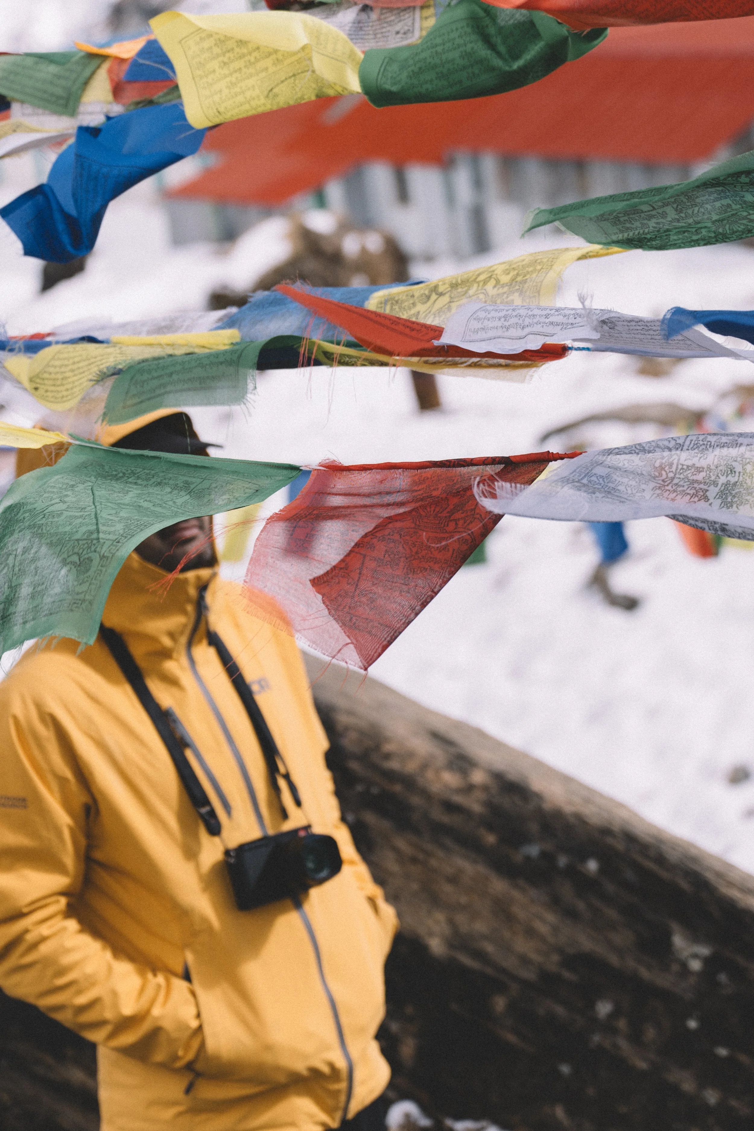
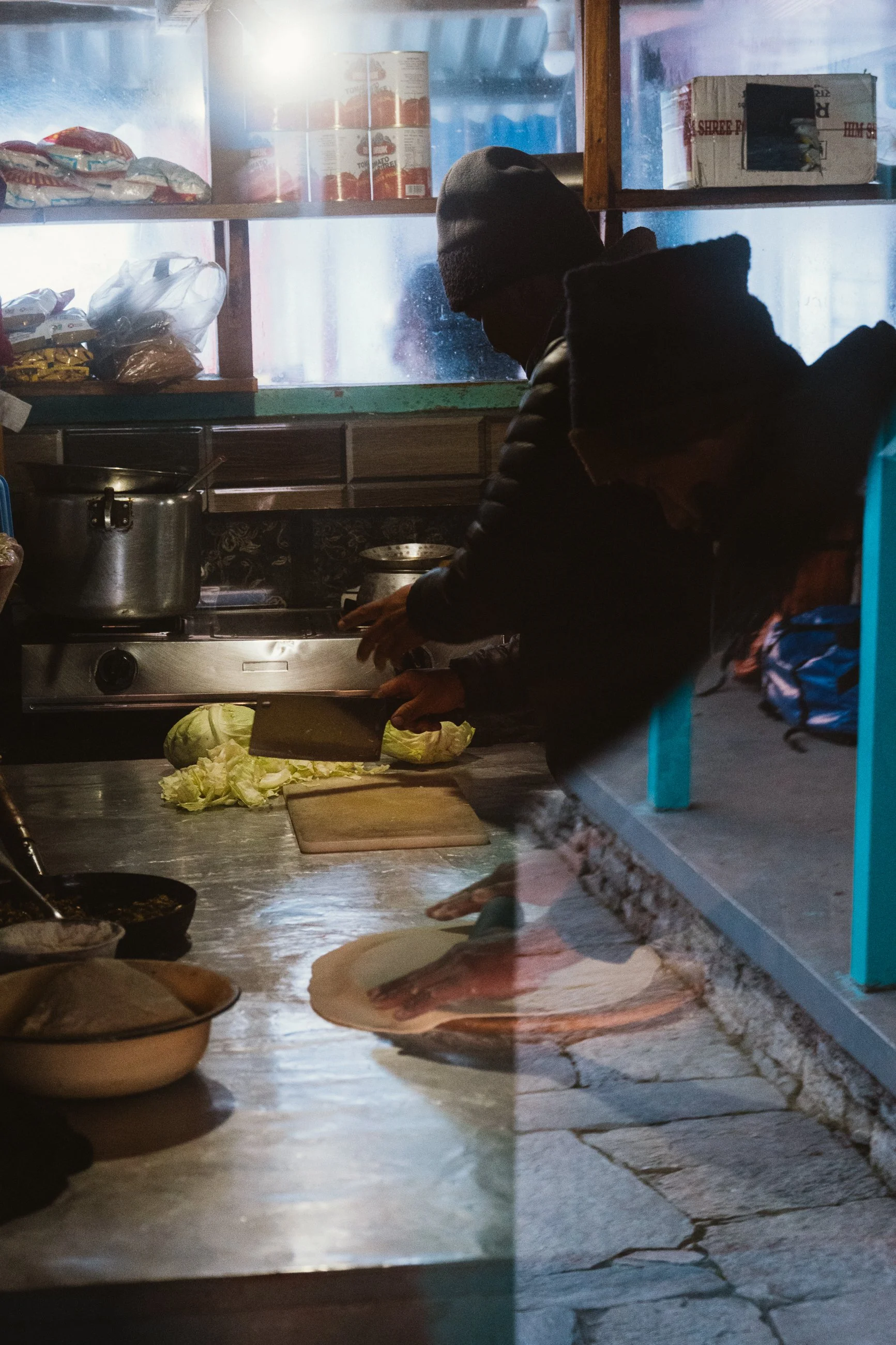
Altitude: 822m → 2,010mOur day started with a bit of cold feet to leave the civilisation and go to the mountains – We took our last shower for the hike, as we had no idea if hot showers would be available anywhere else (I was wrong). We went to CDH Coffee De Himalayas and I had the best masala omelette and medium roasted coffee, assuming we won’t get any good food during the hike (I was wrong about this too, but more on this later)
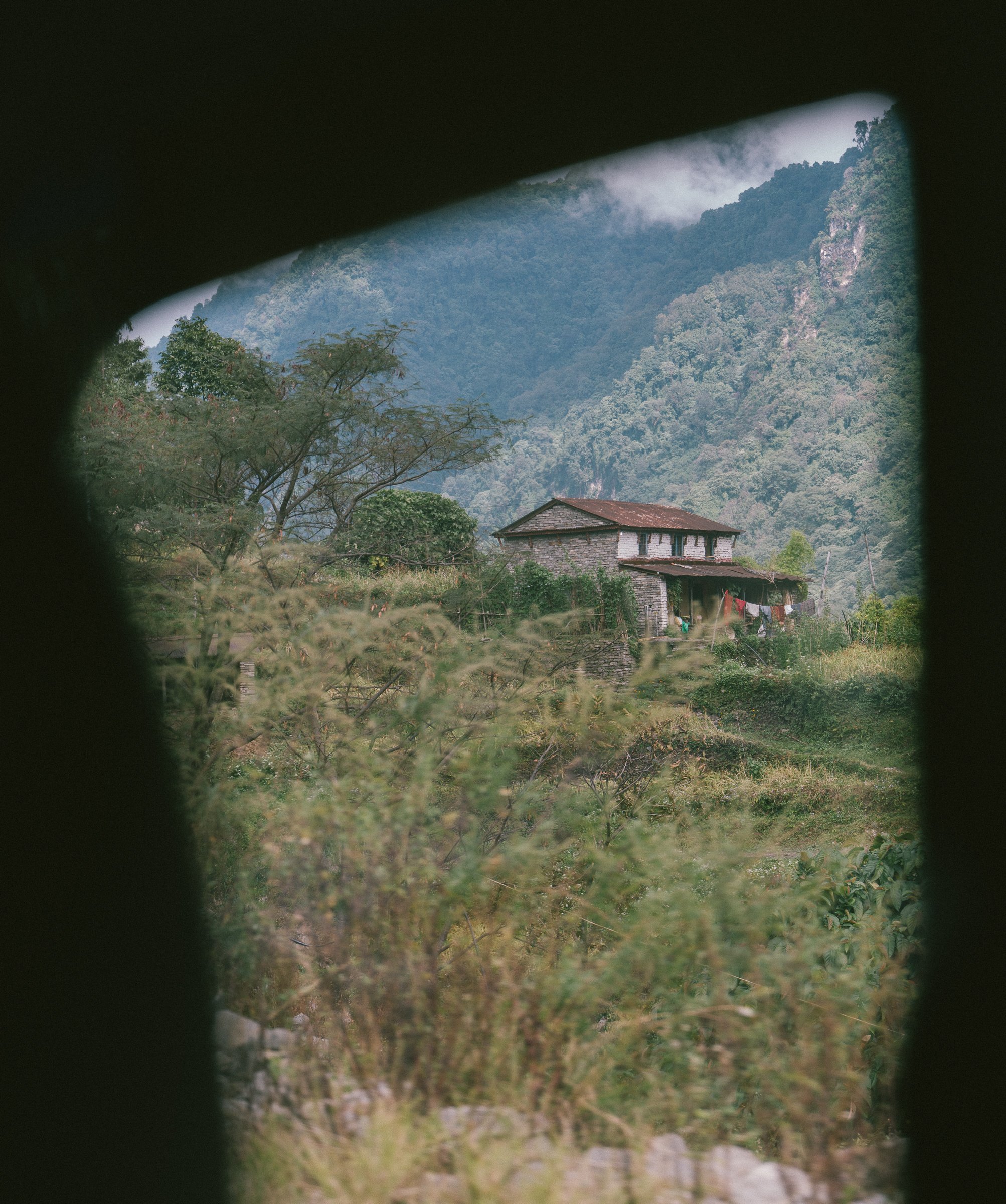
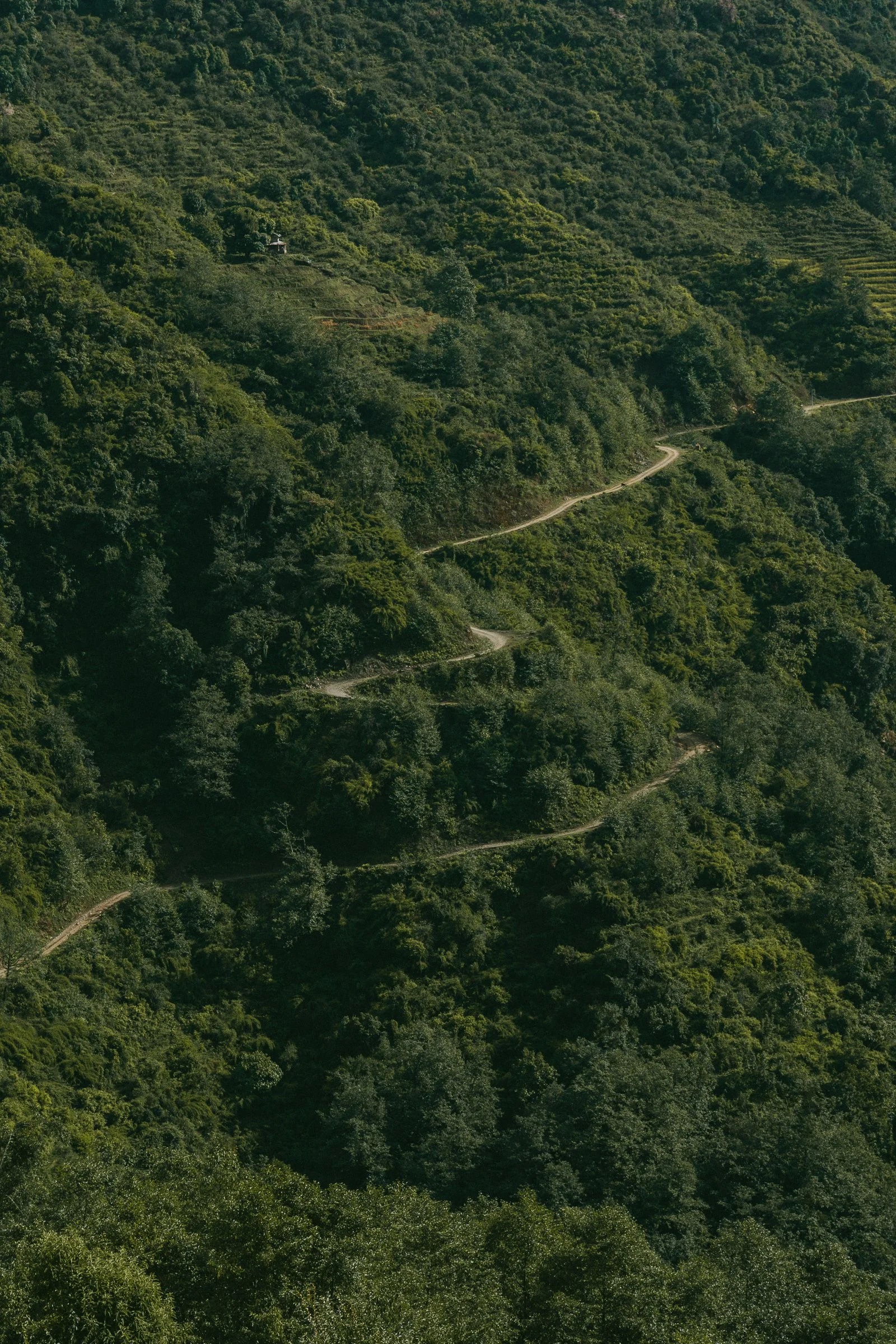
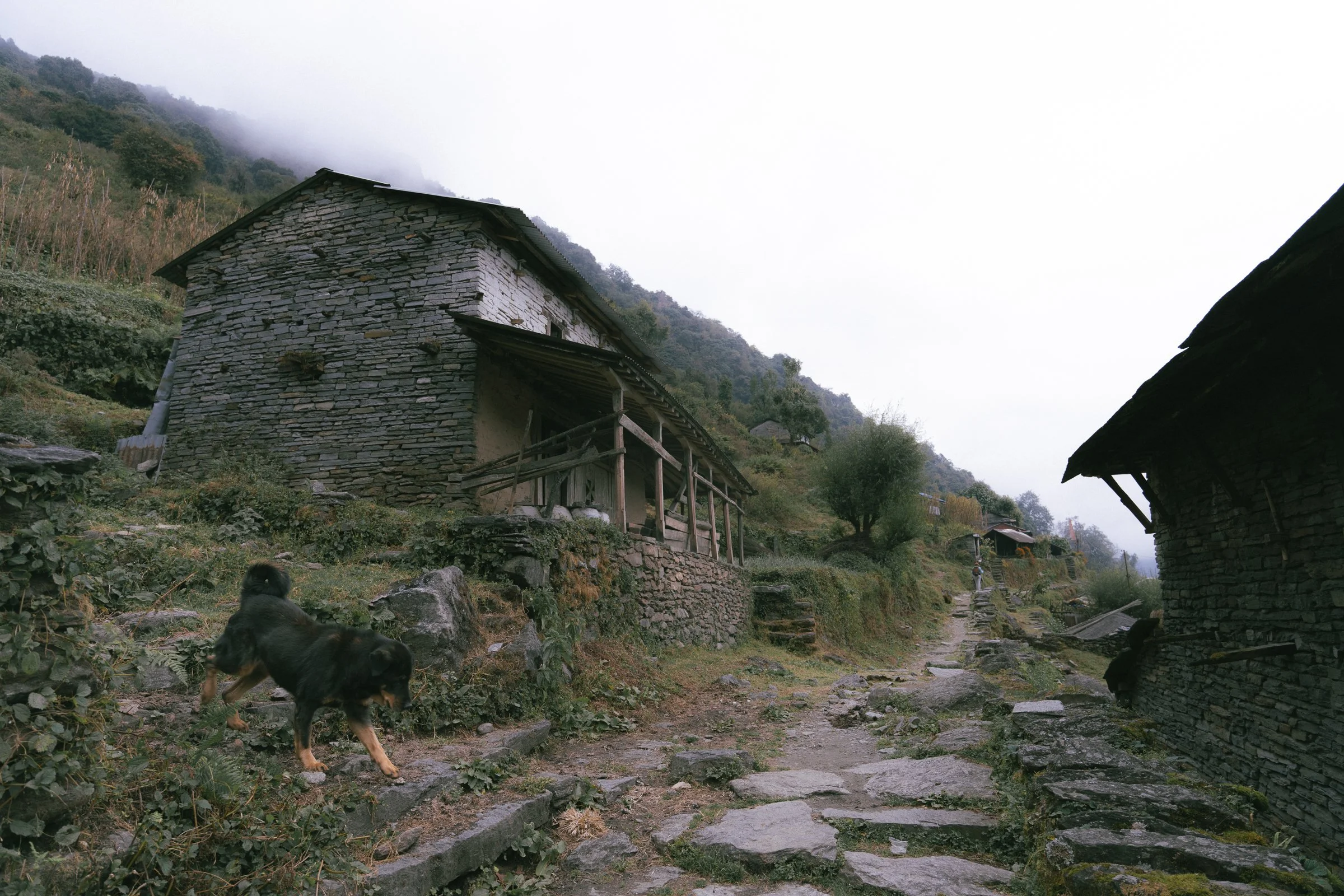
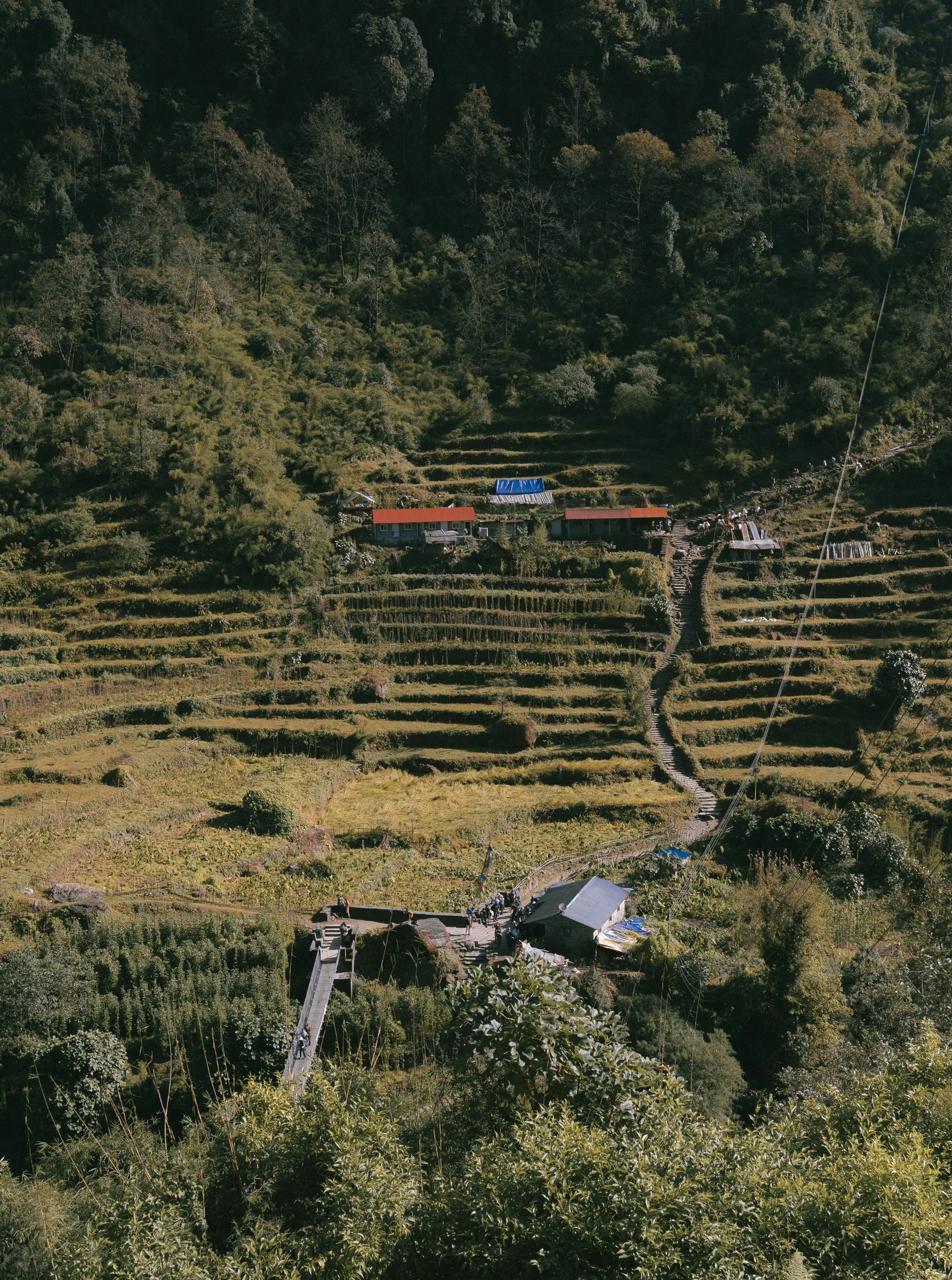
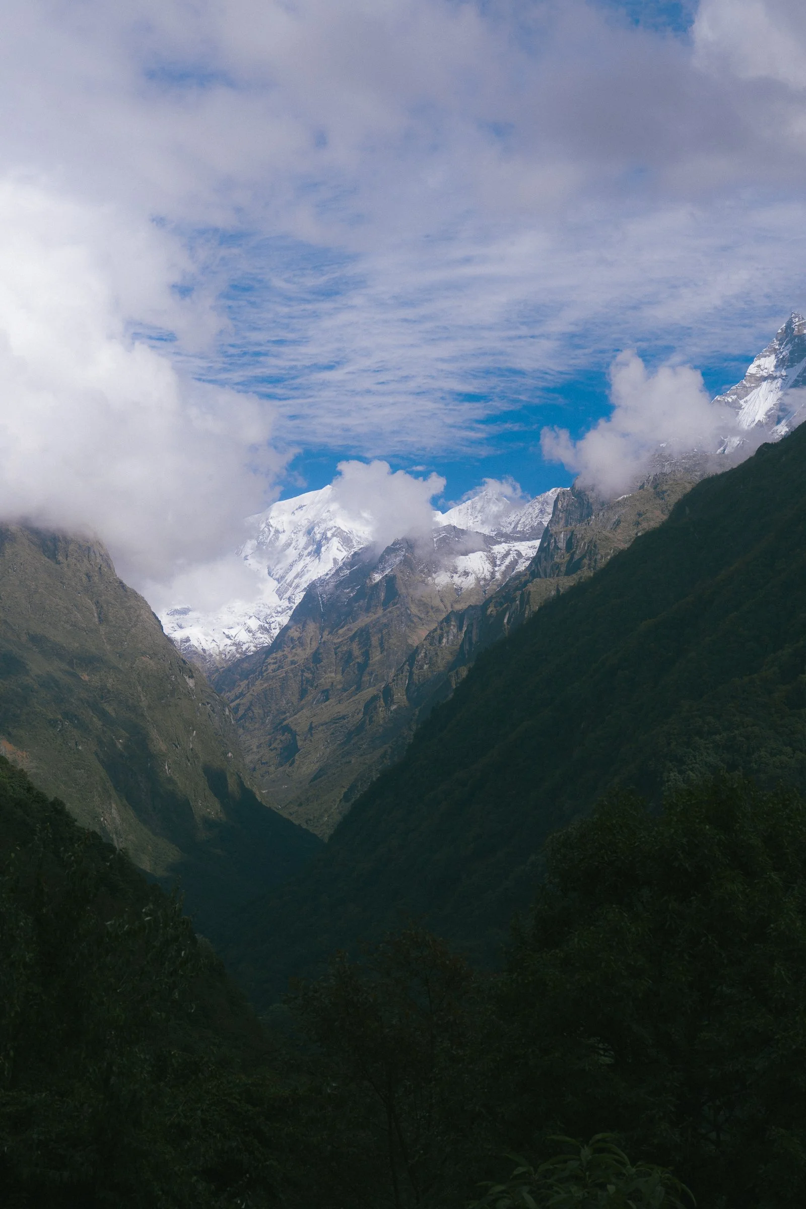
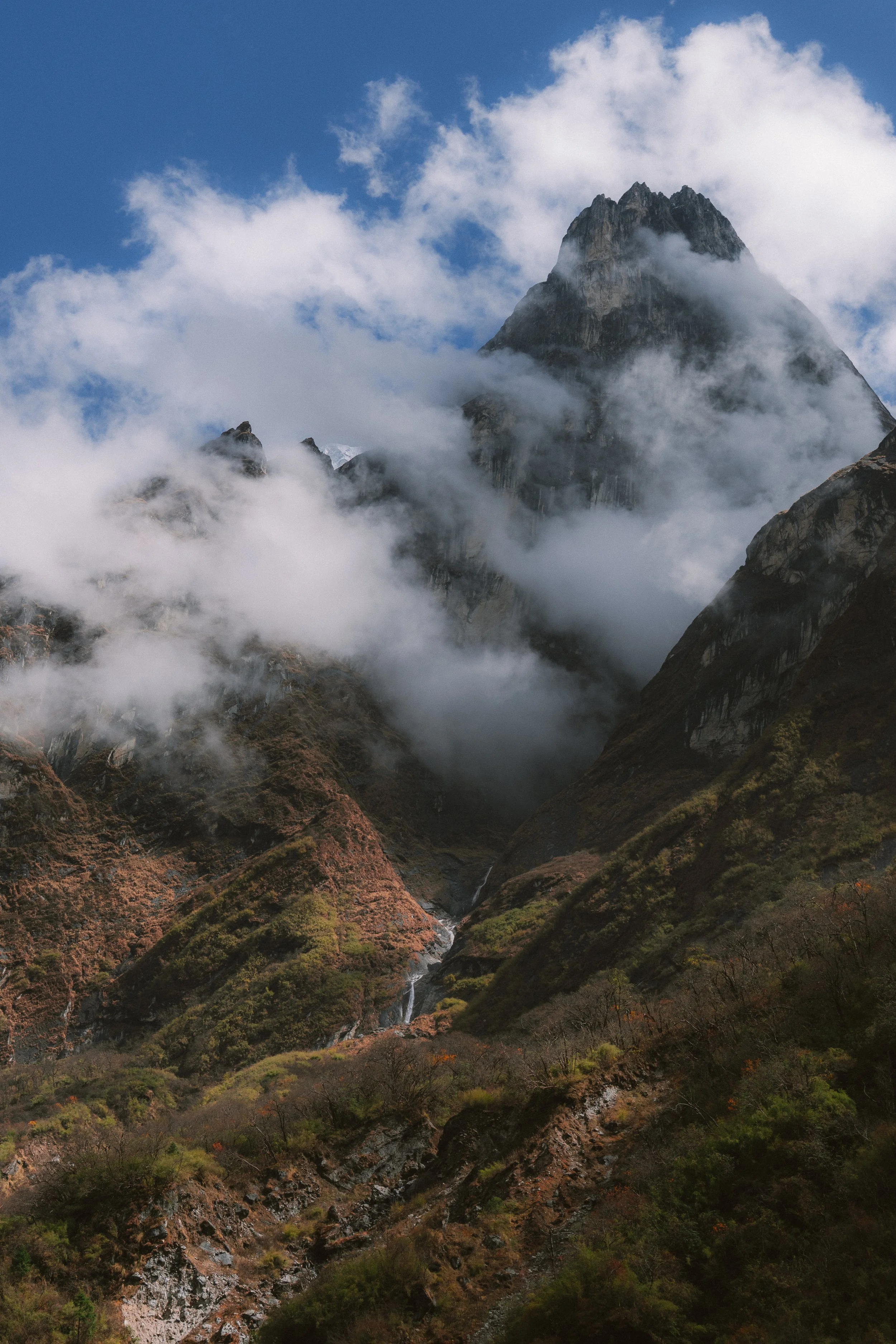
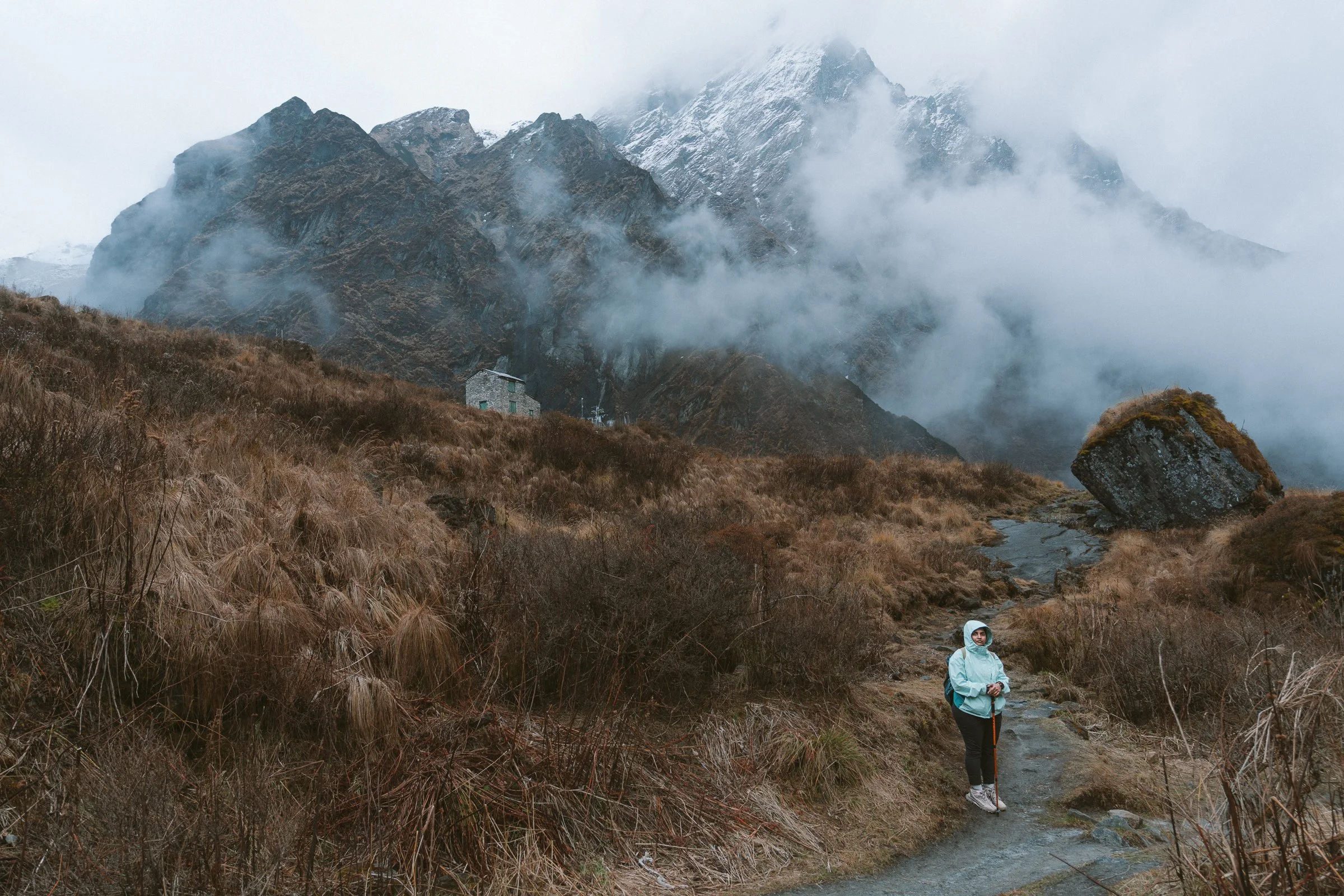
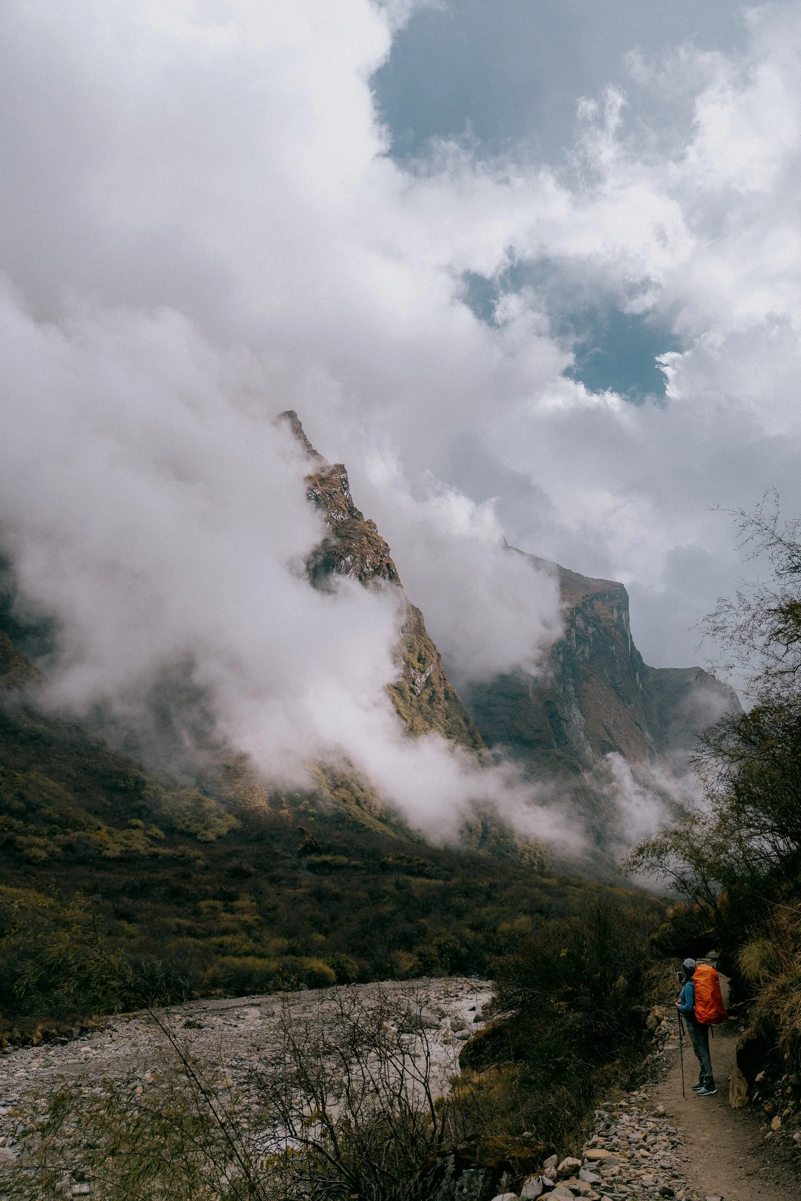
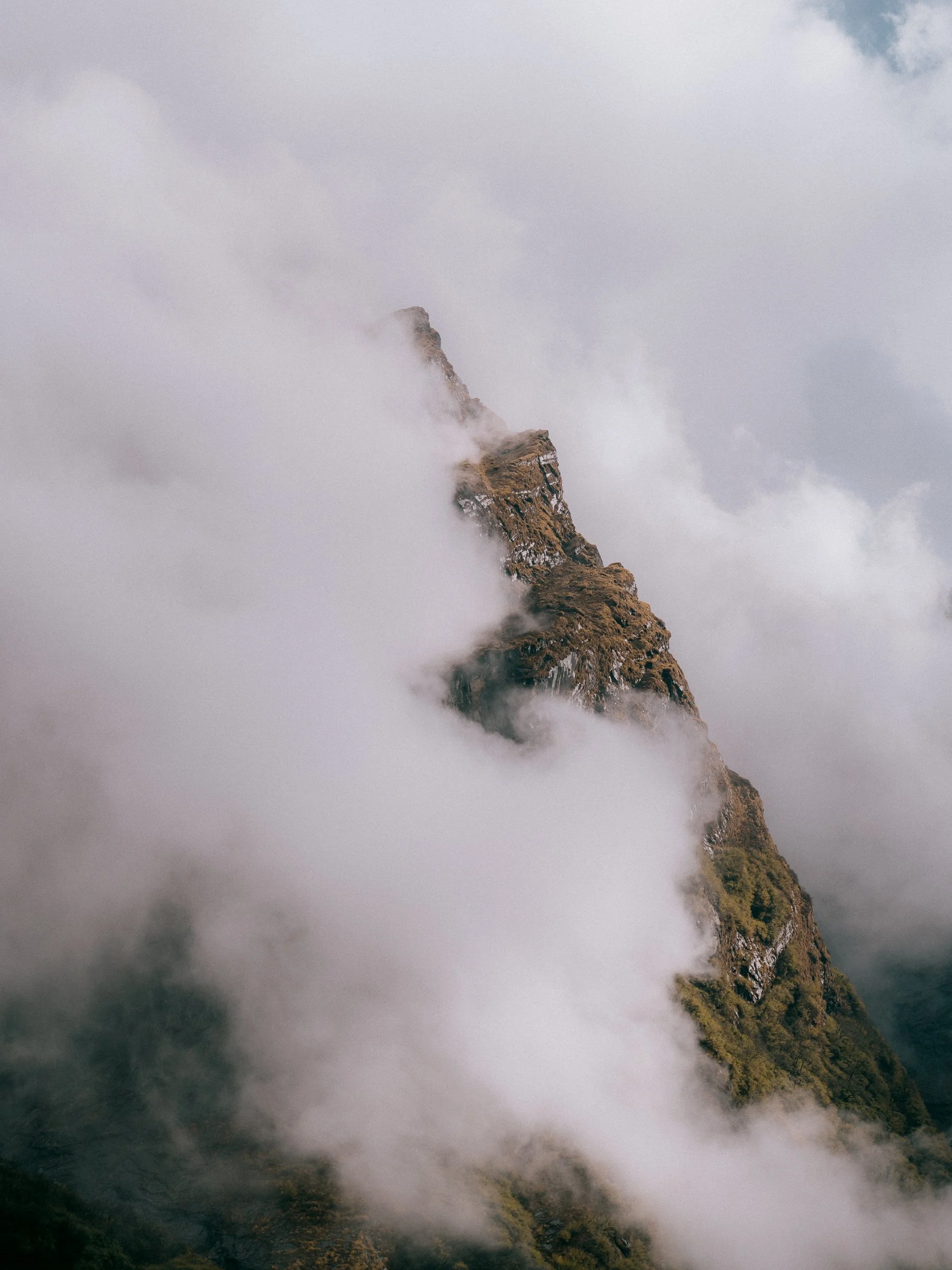
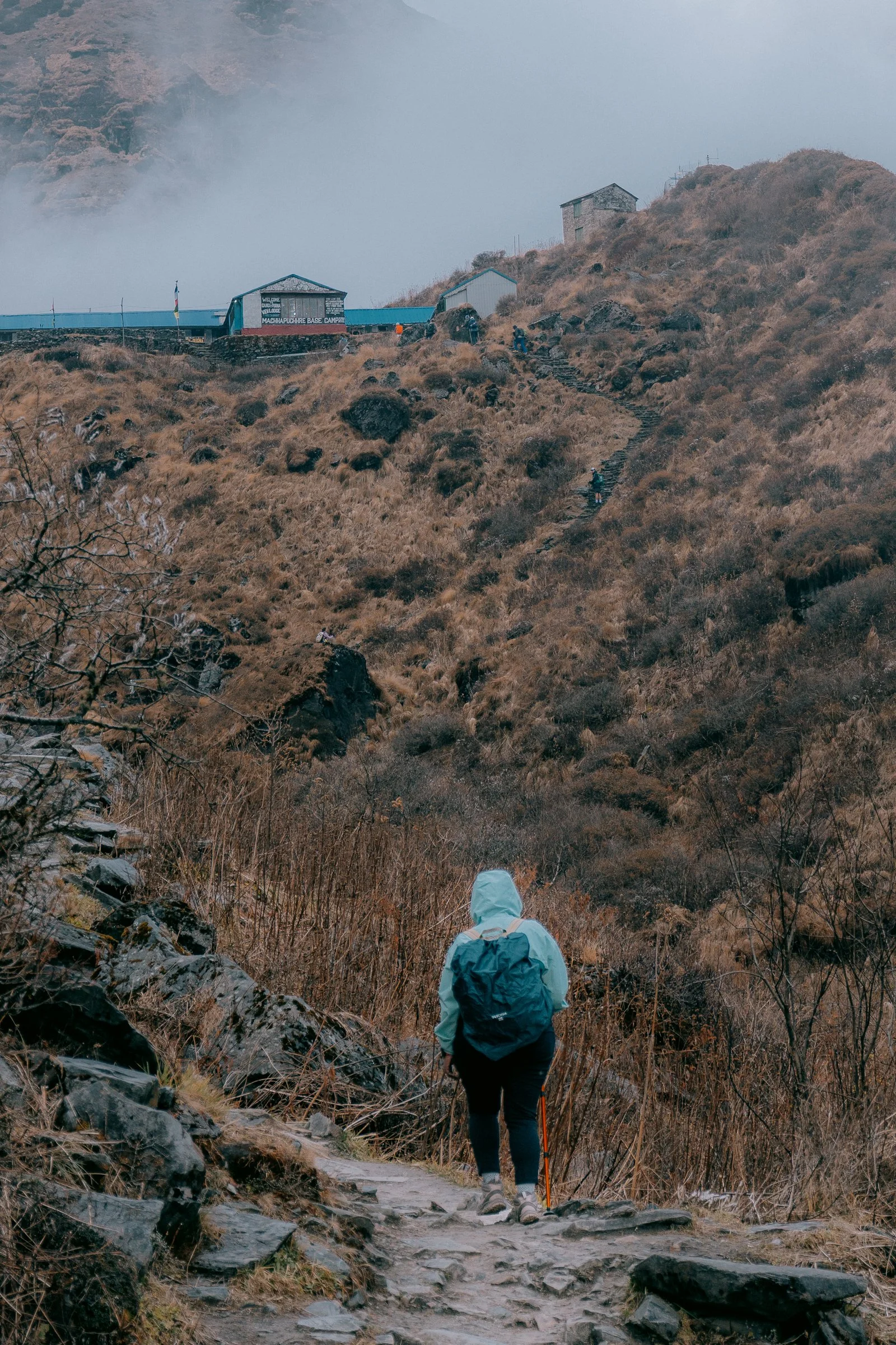
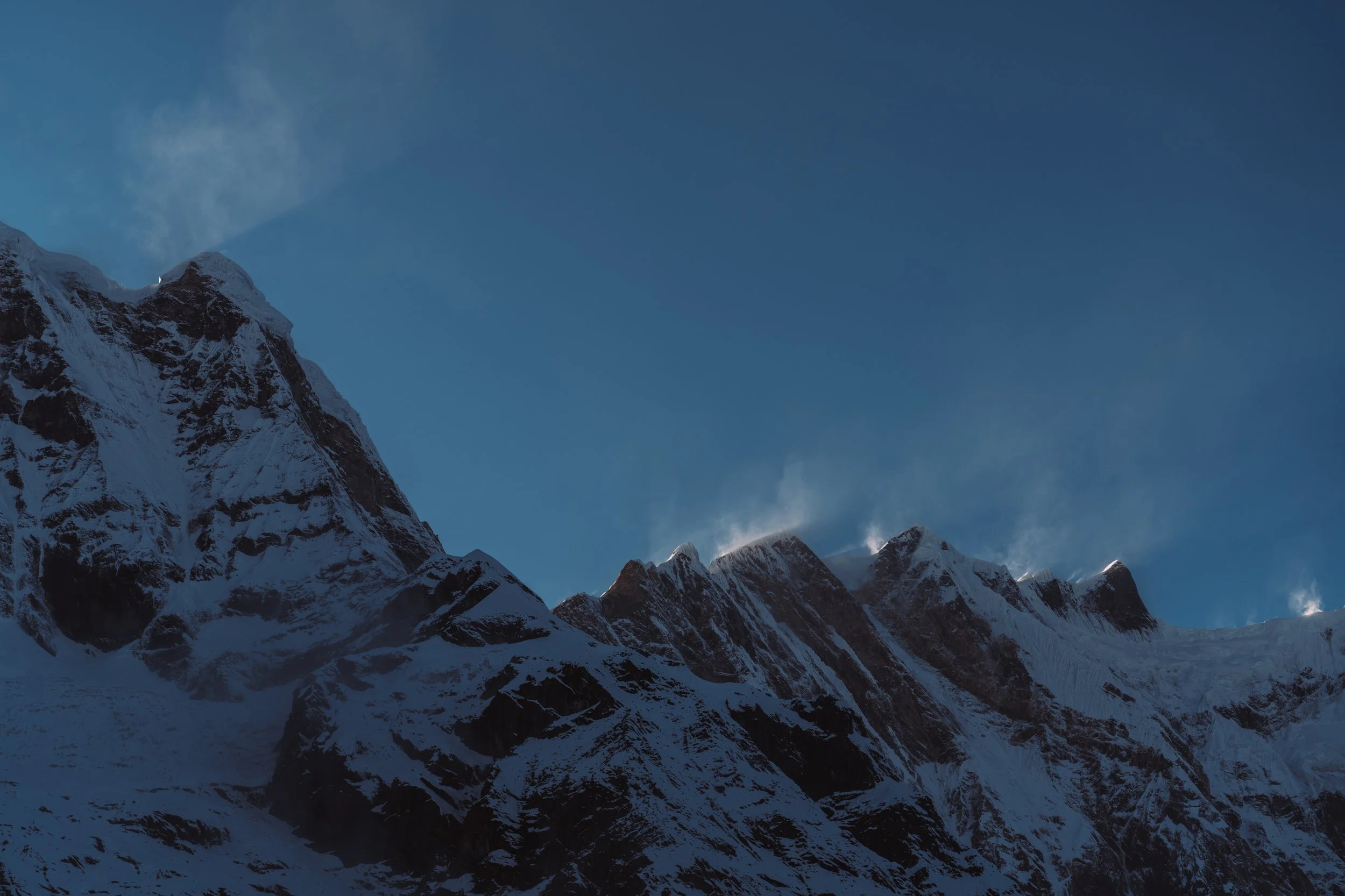
Our cars were waiting for us by the time we finished and we quickly packed our bags and started our drive. For the next 1.5 hours we had a nice smooth drive, with occasional stops. Once we reached the Annapurna Conservation Area, the roads started to get very rough and windy. It felt like even SUVs weren't supposed to be on these roads, but a few minutes later we saw a bus overtake us and drive up fast. Not a great feeling being on the edge of these roads as the drop could be anywhere between 500 and 800 metres., but the driver pushed through. Once we reached, we went to our first ever tea house where we will be staying for the night. We were welcomed with amazing Dal Bhat which I didn’t realise how much I will end up loving in the next 5 days. Outside the tea house, we were told we could see the mountains ahead, but all I could see is the thick fog covering the whole mountain
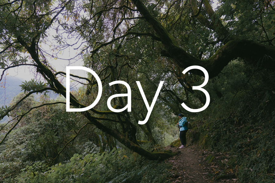
Day 3
Day 3: Ghandruk to Chhomrong
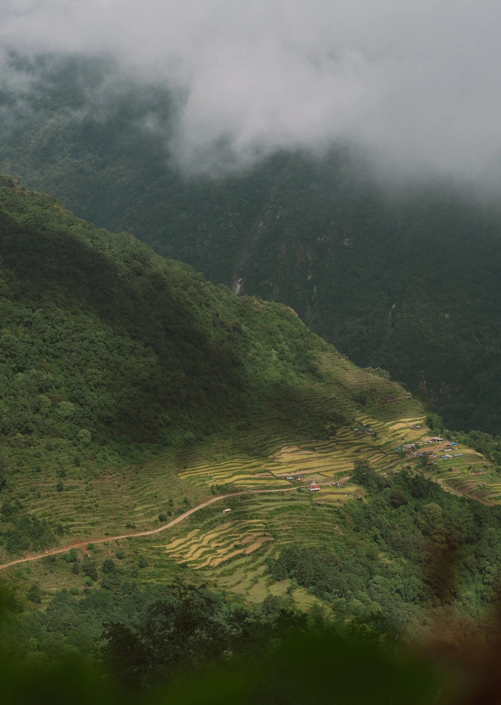
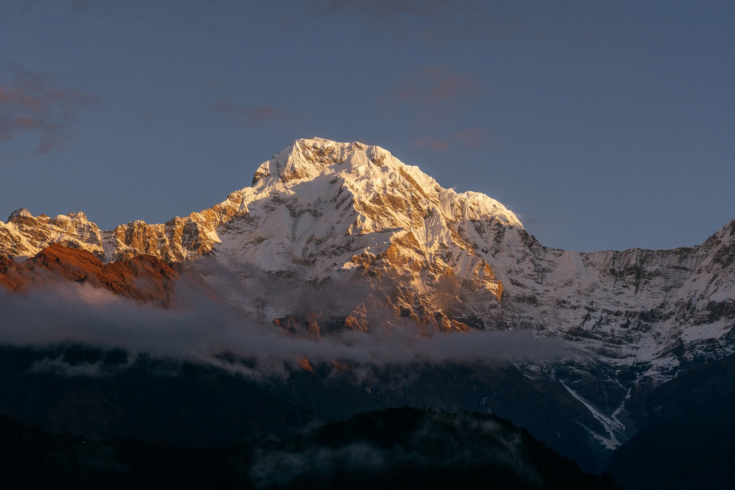
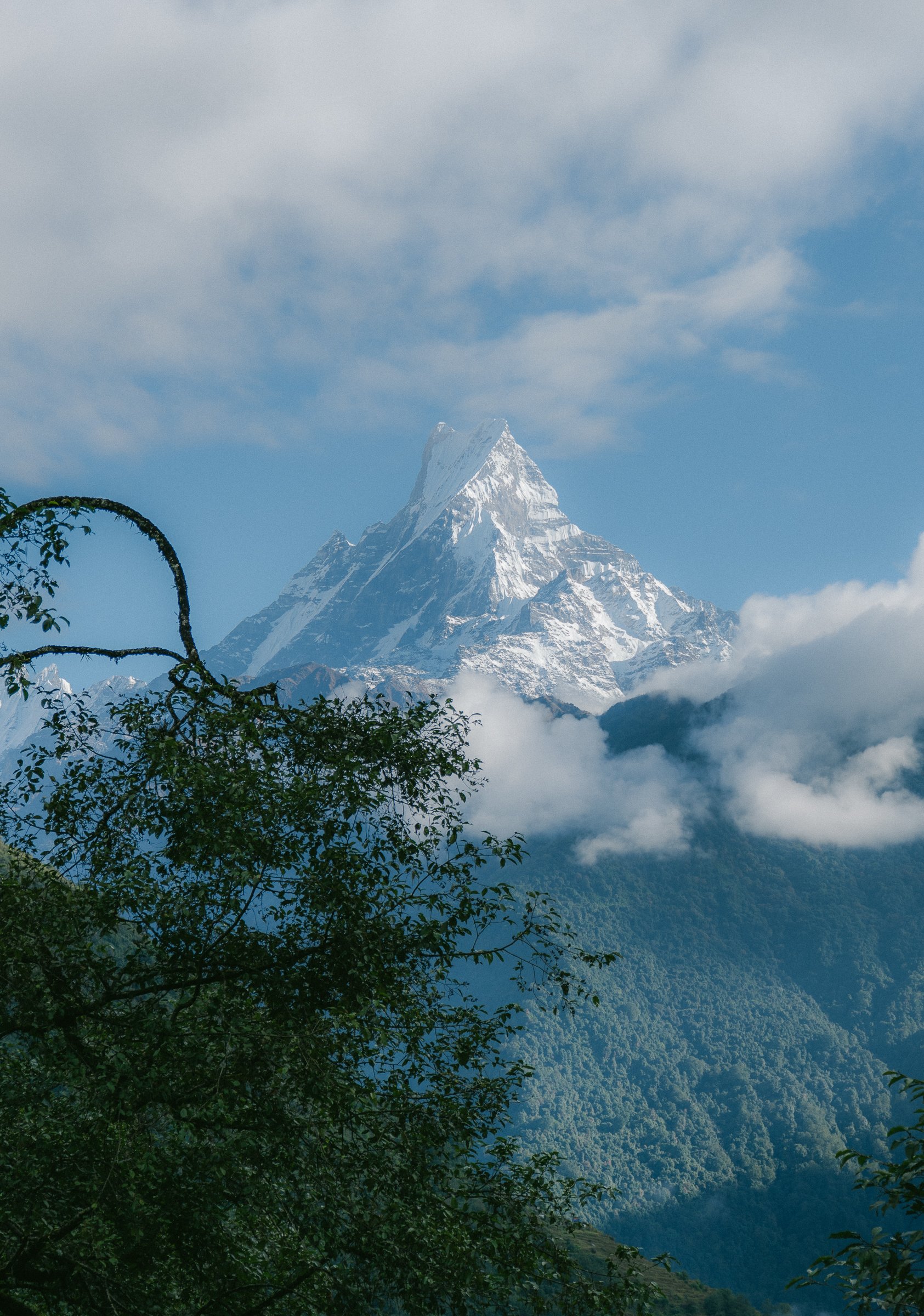
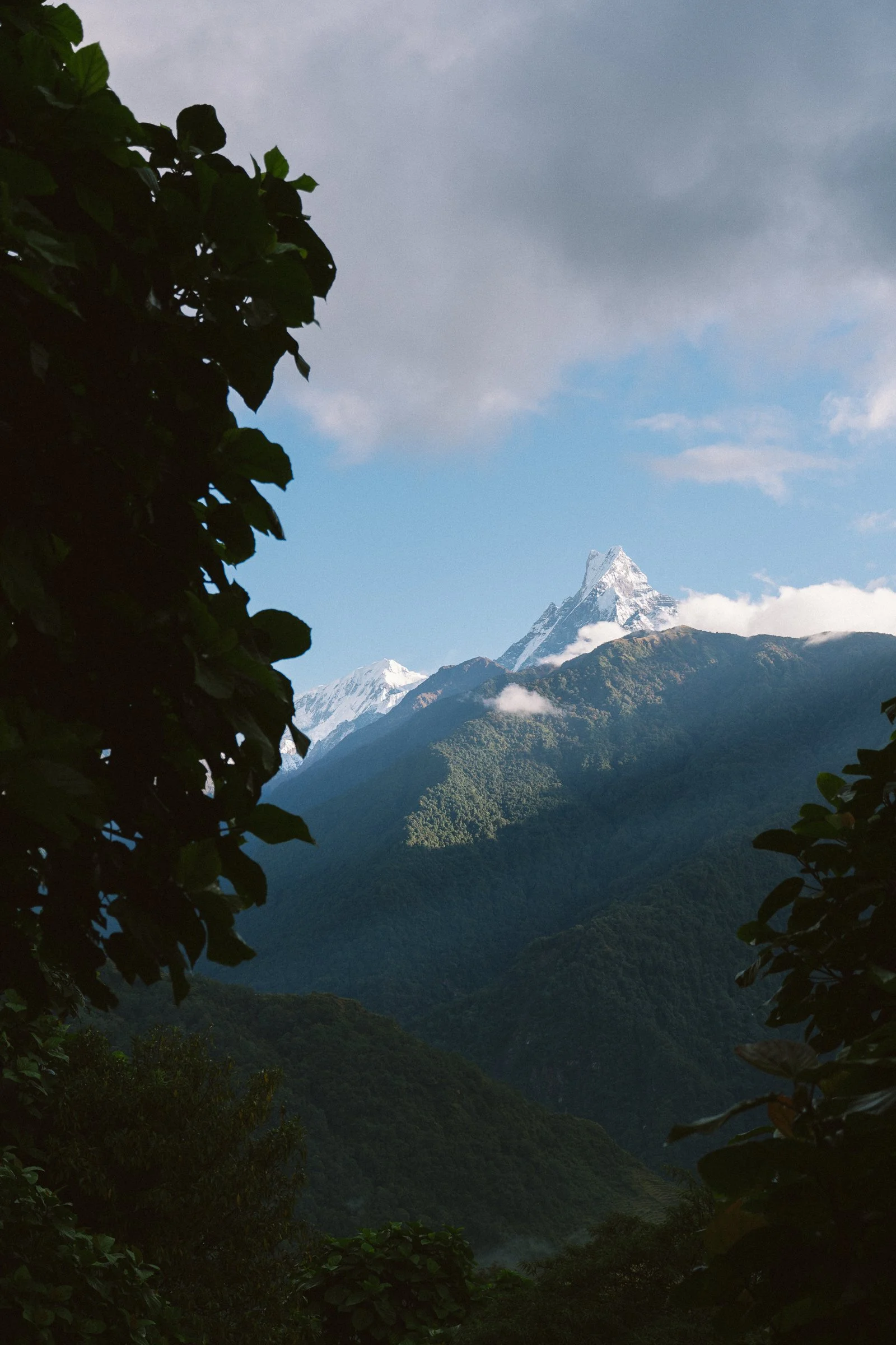
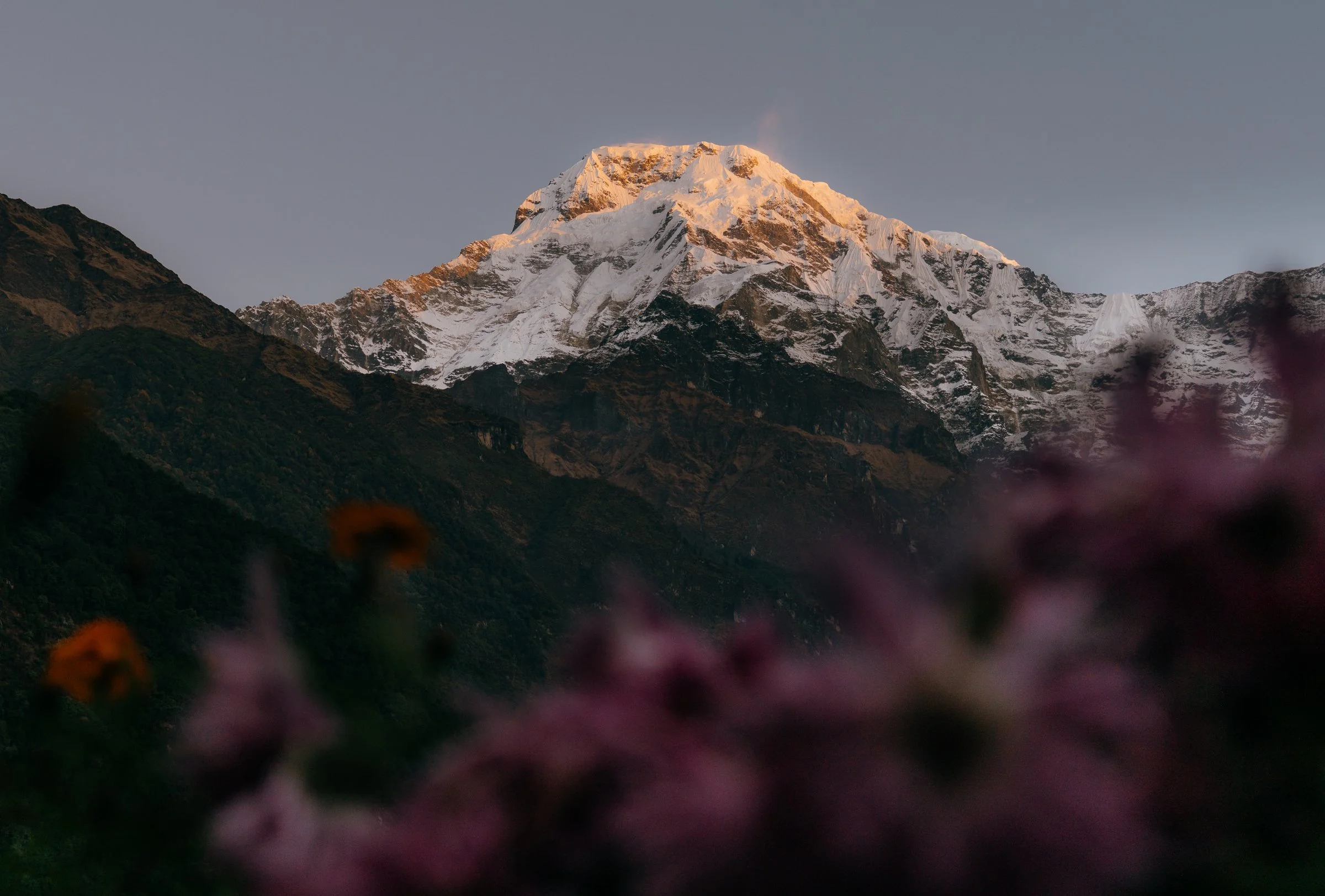
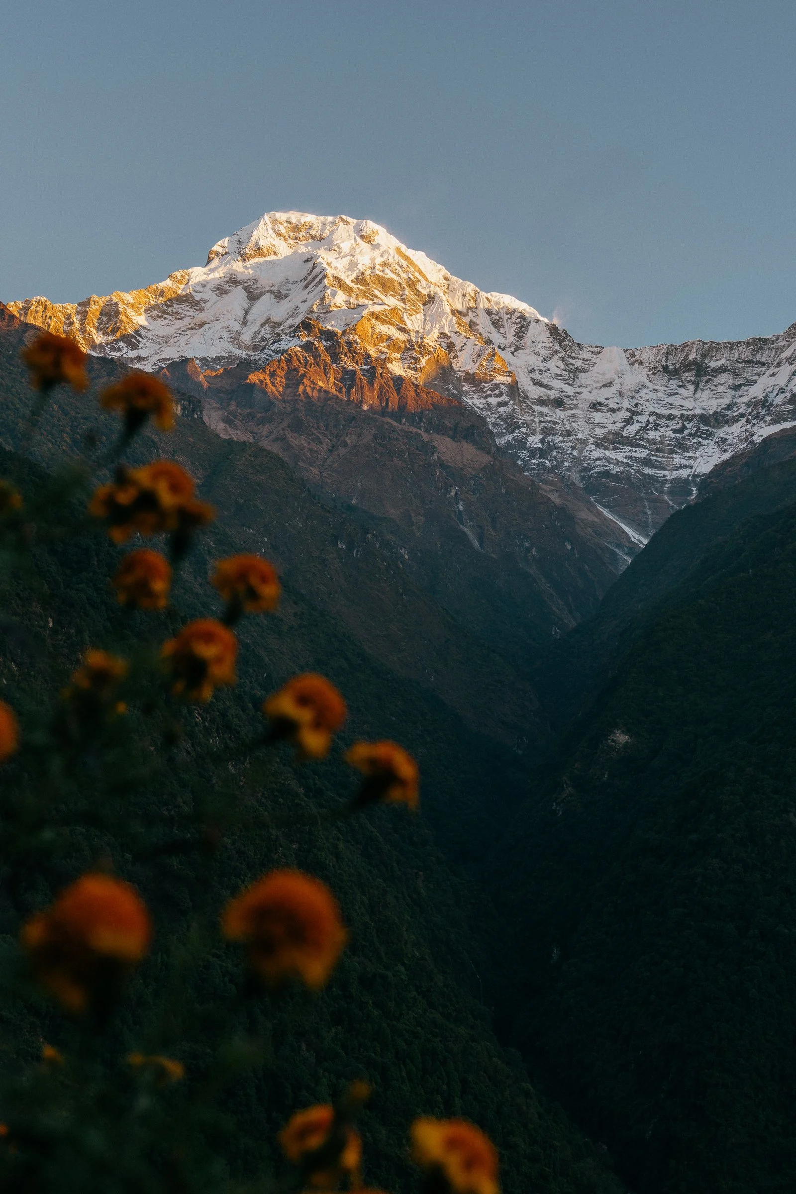
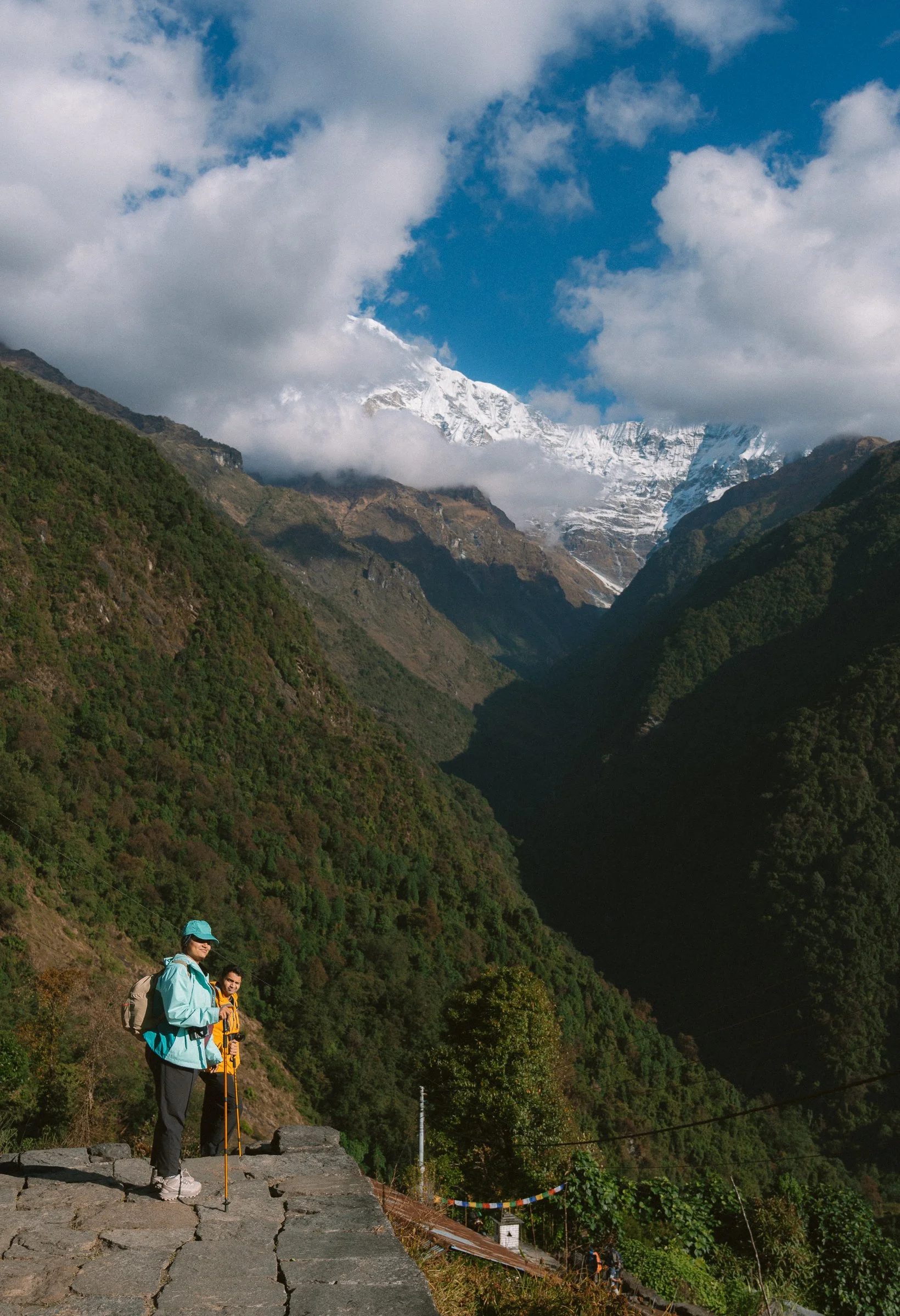
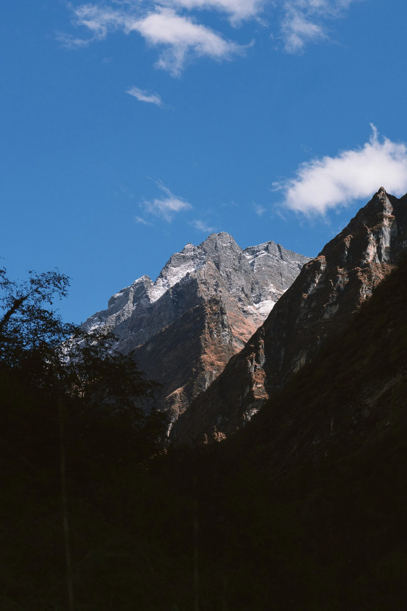
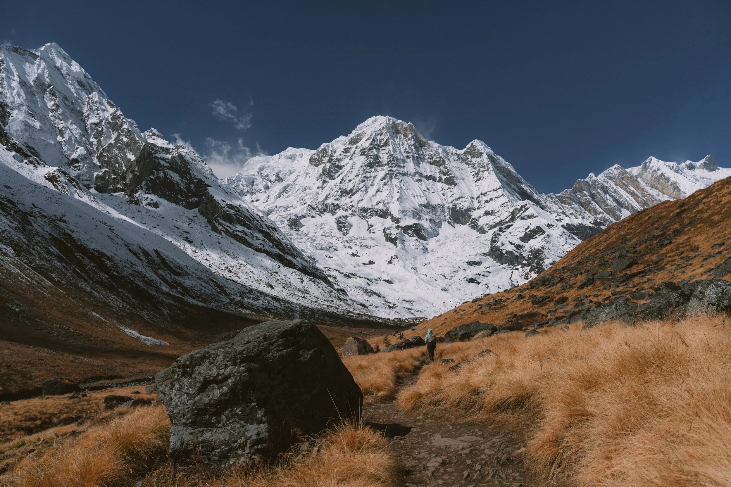
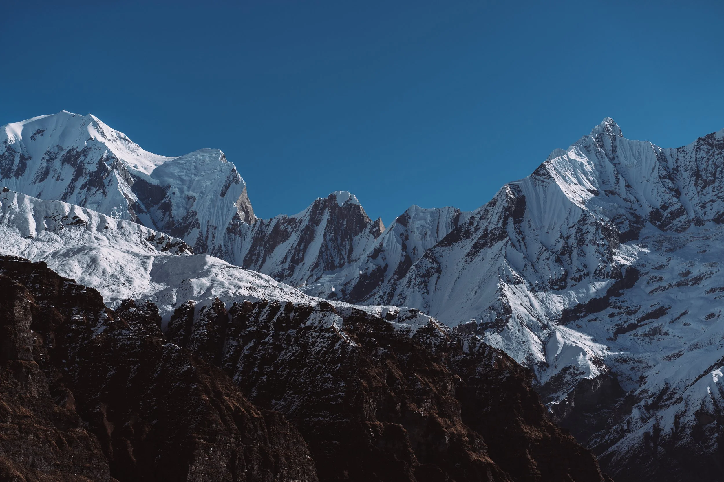
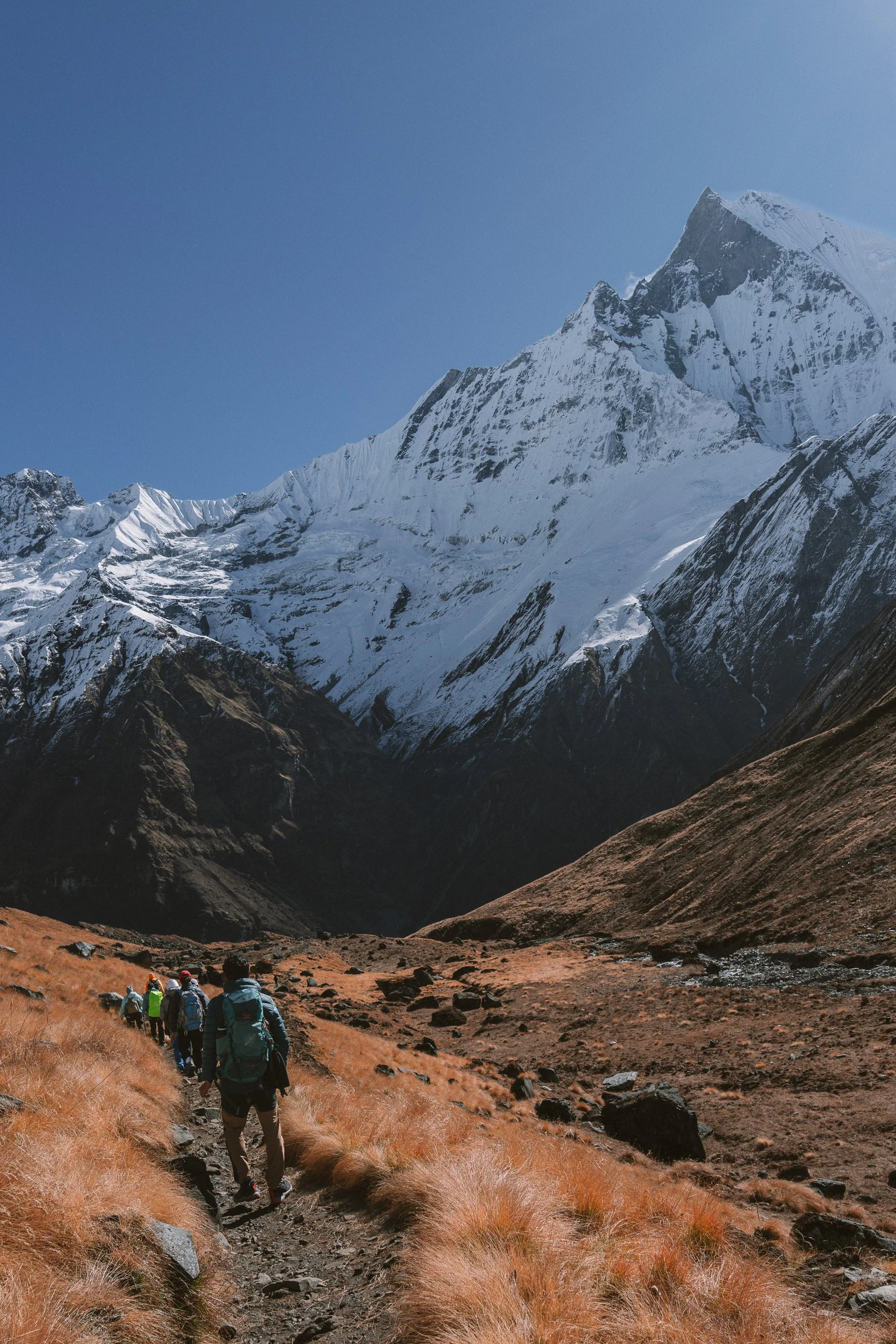
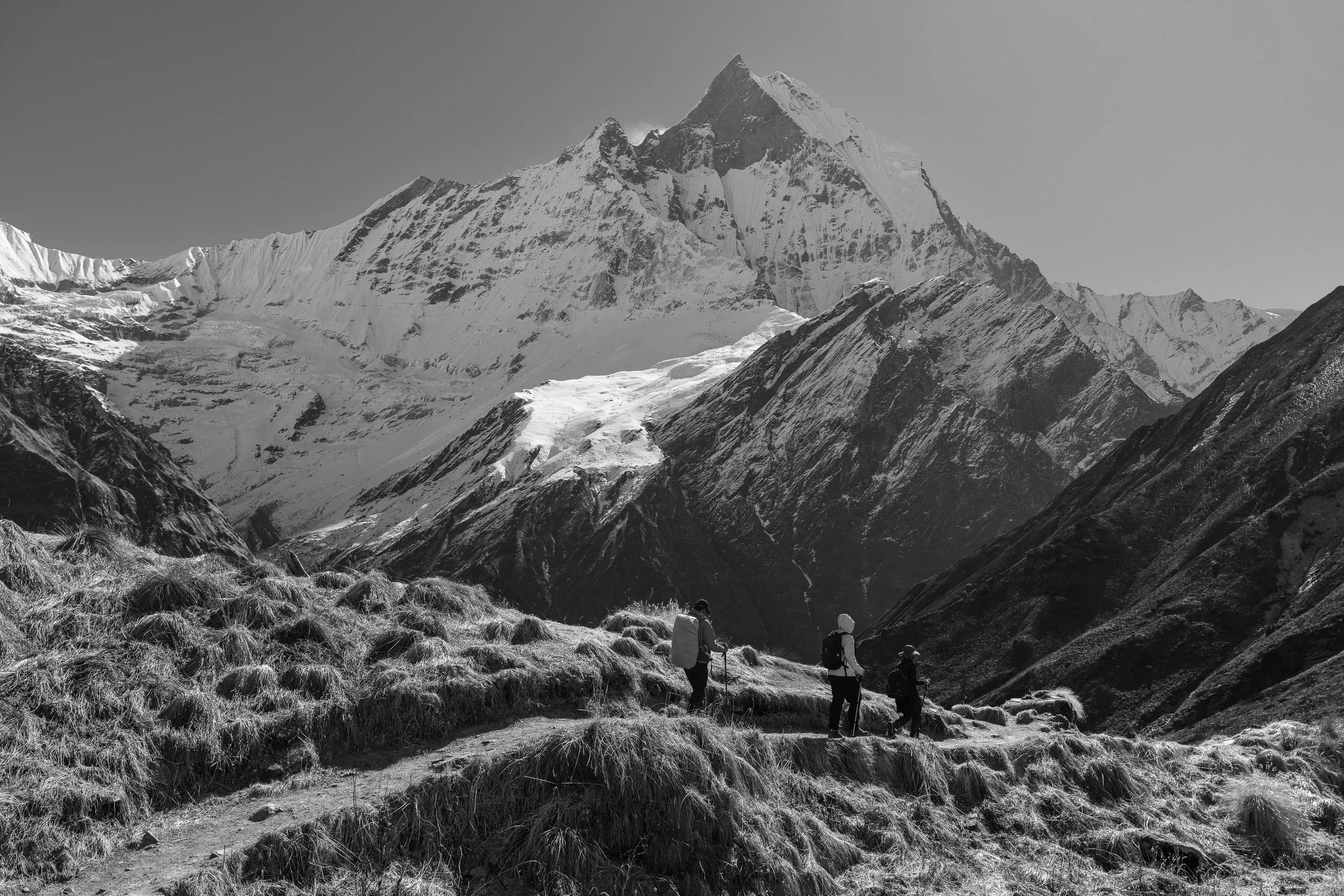
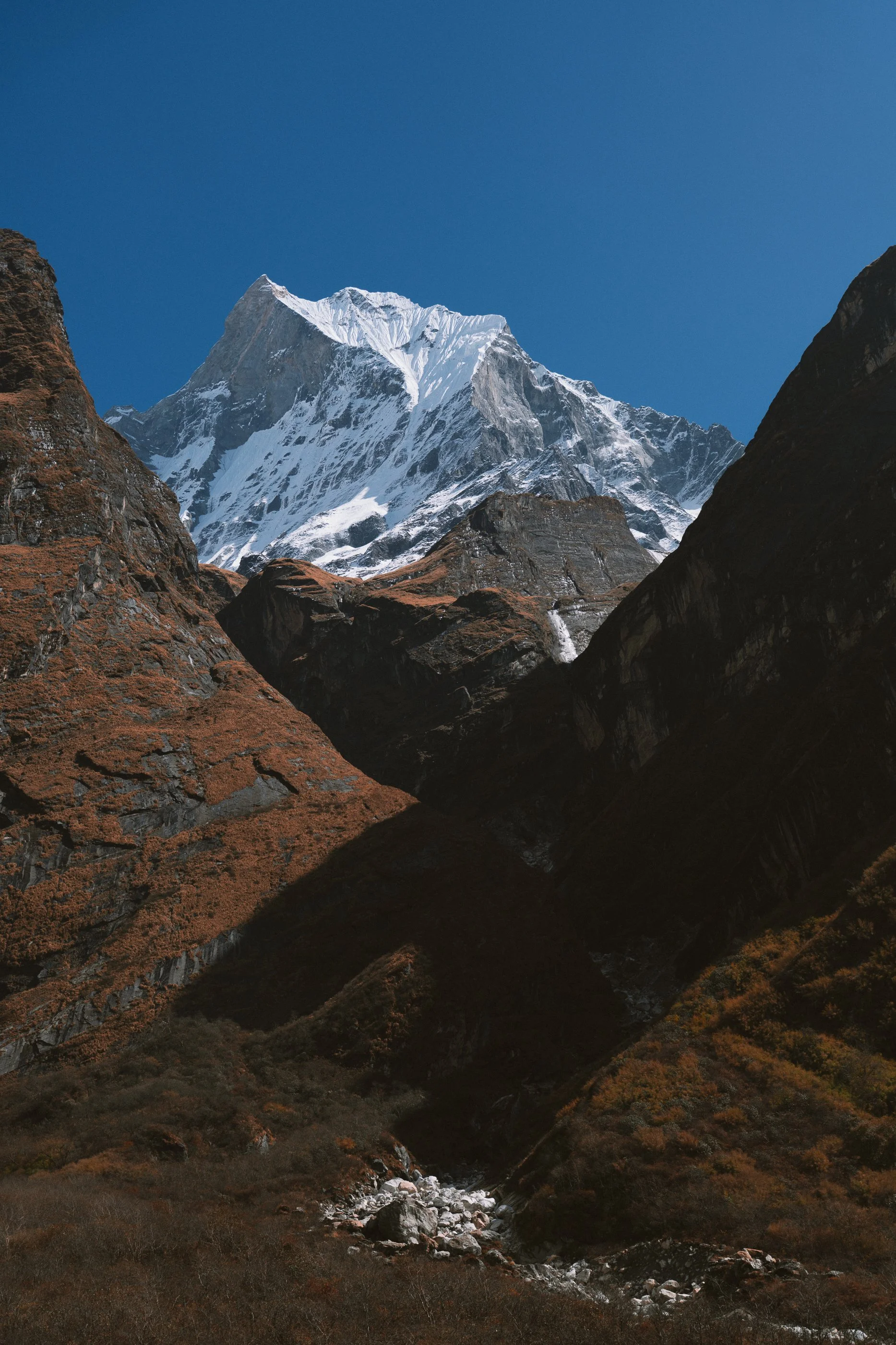
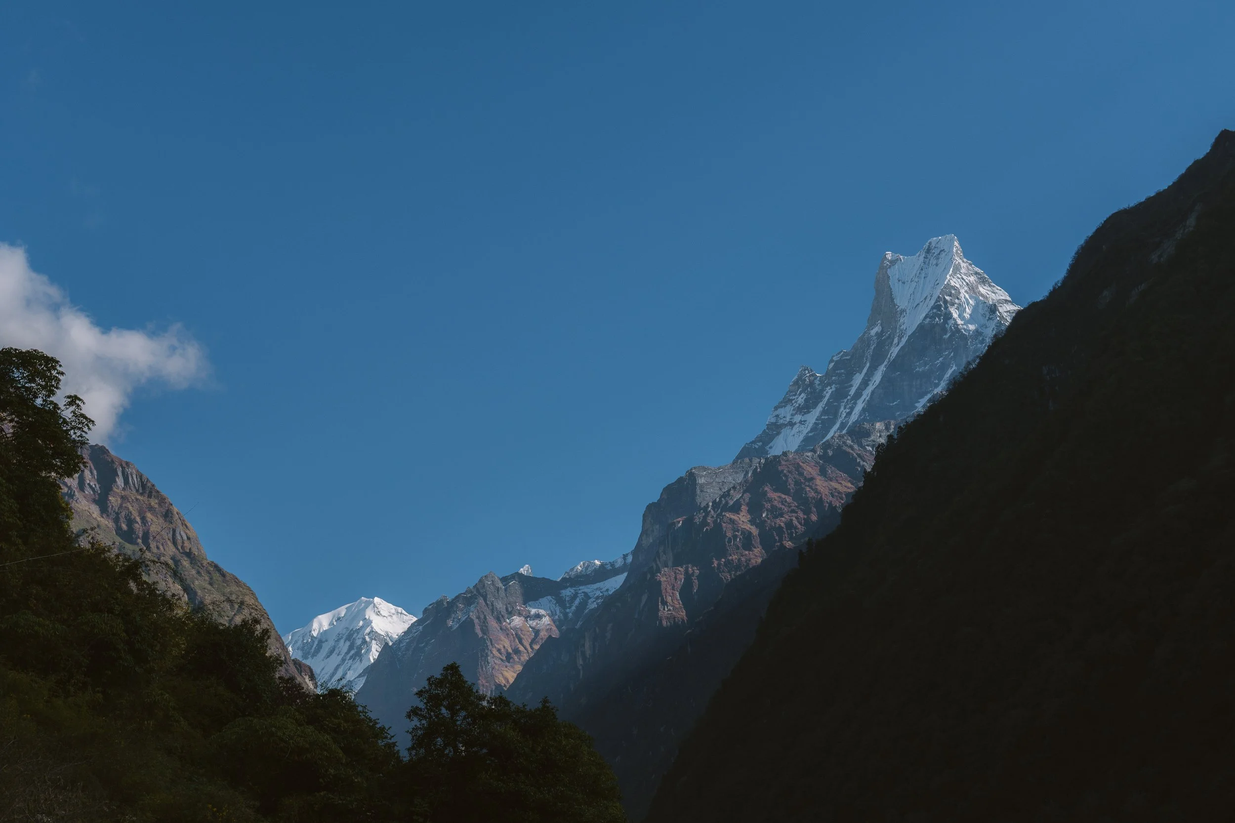
Altitude: 2,010m → 2,204mAs soon as we woke up, we were greeted by the views of Annapurna and Machhapuchhre — the same mountains that were hiding the previous evening. We went up to the roof of the tea house and ended up seeing our first sunrise with the mountains. Having no idea where or how far we would be going, it felt like watching a big teaser of what to come.
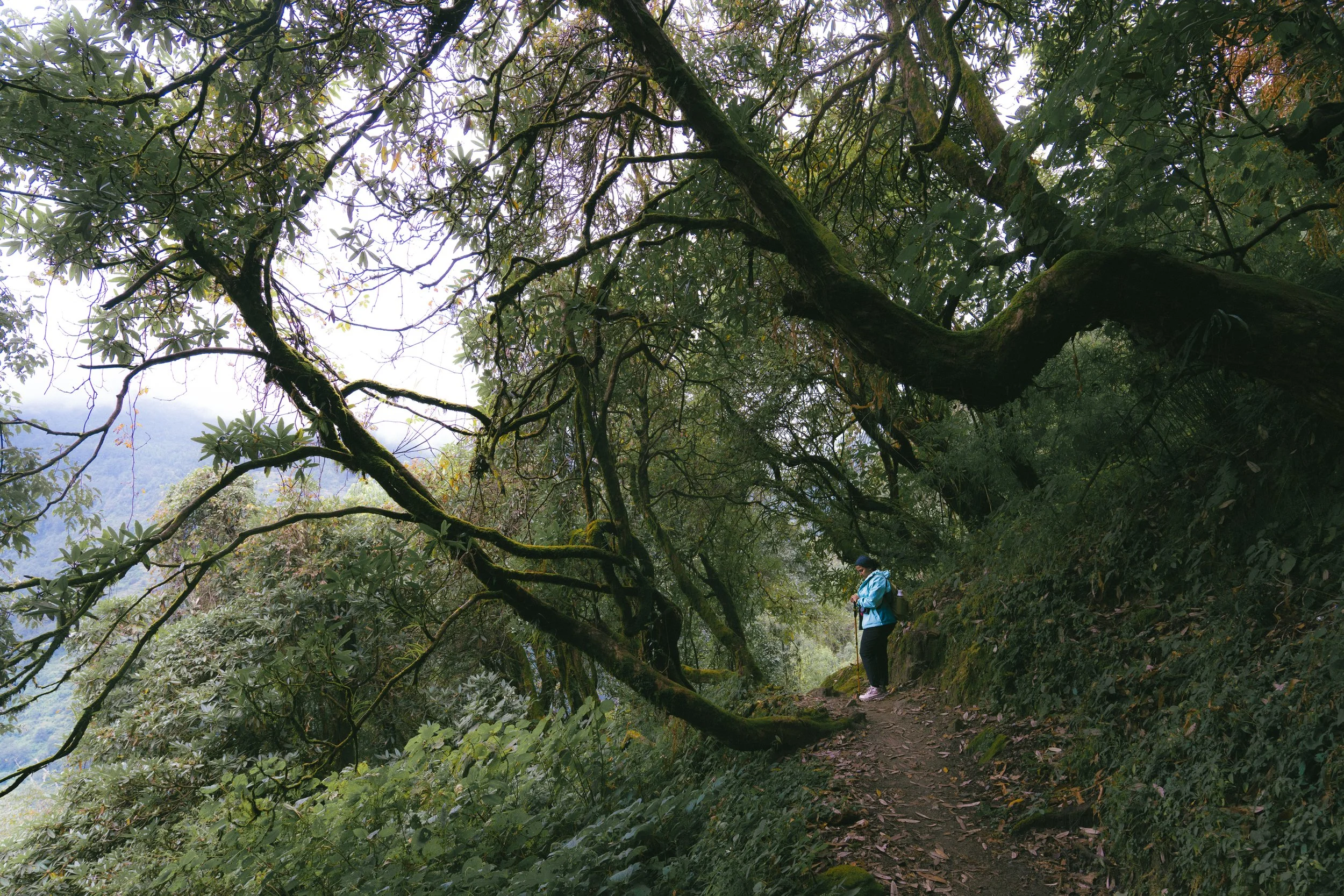
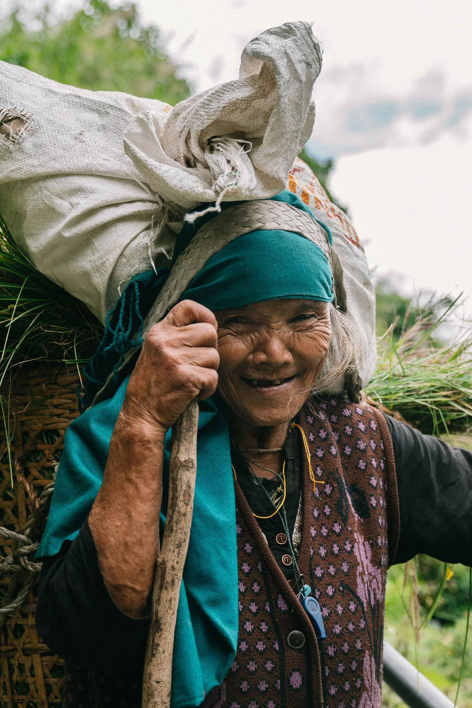
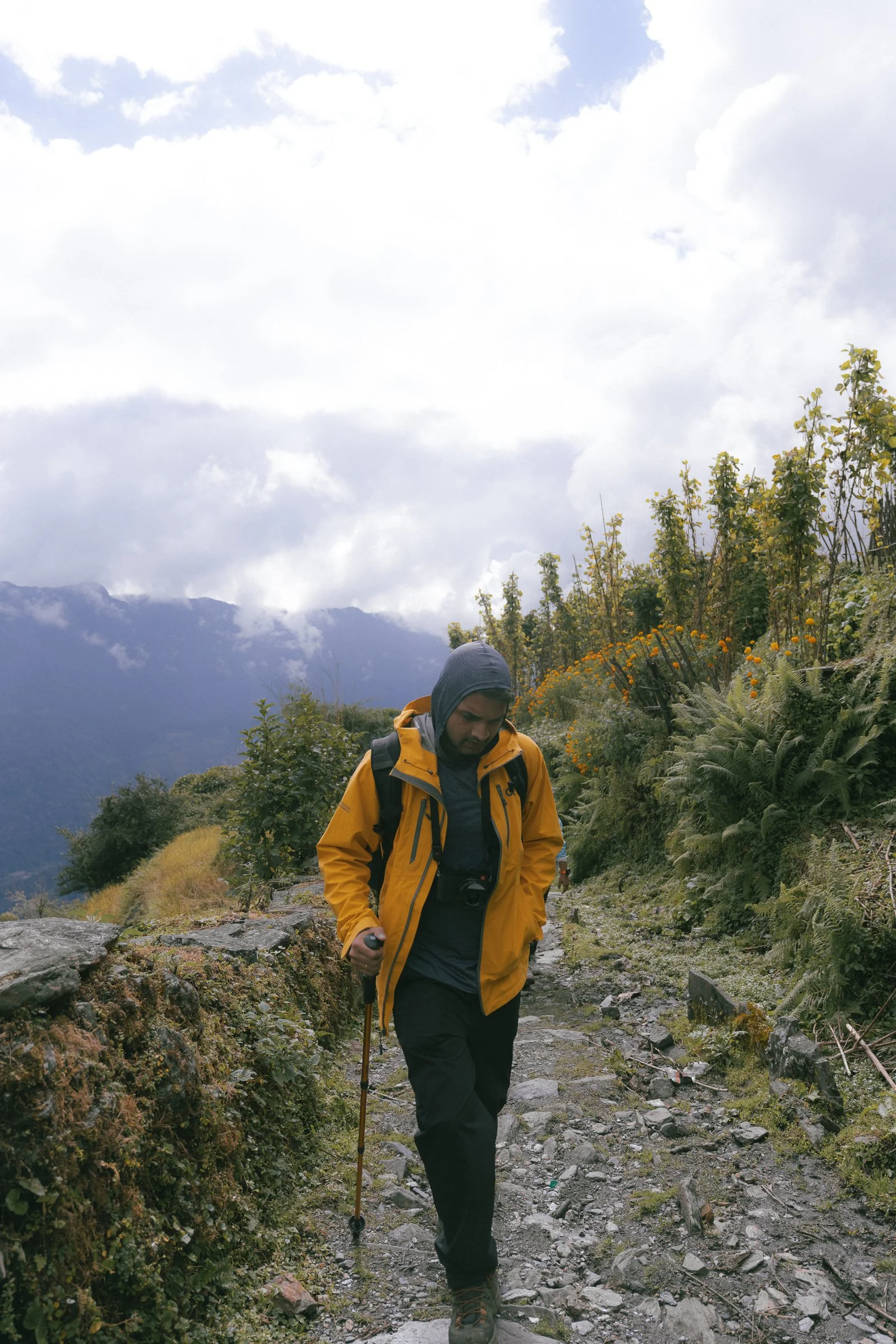
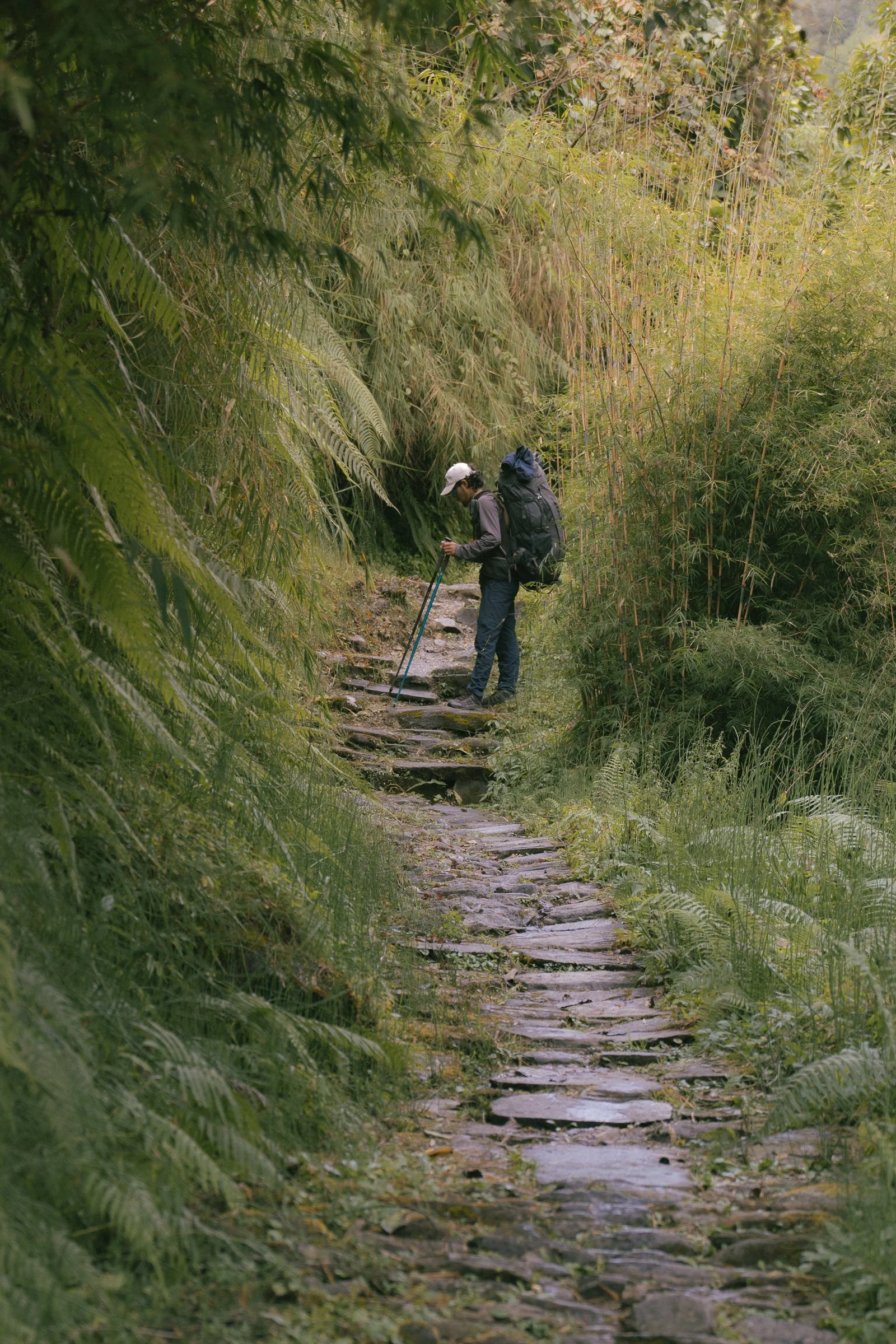
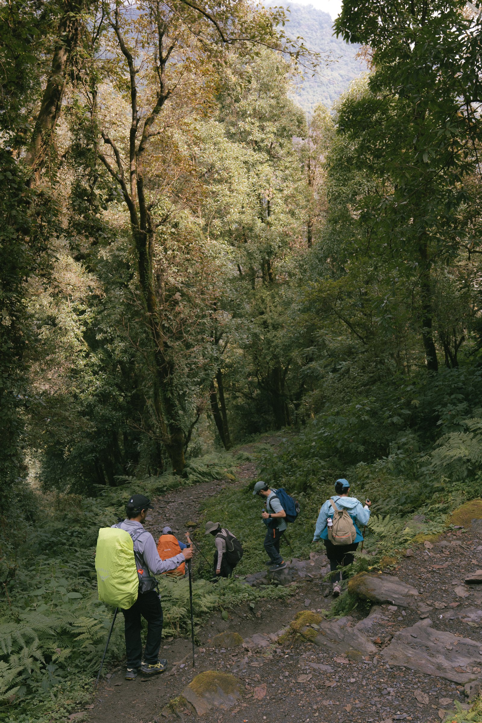
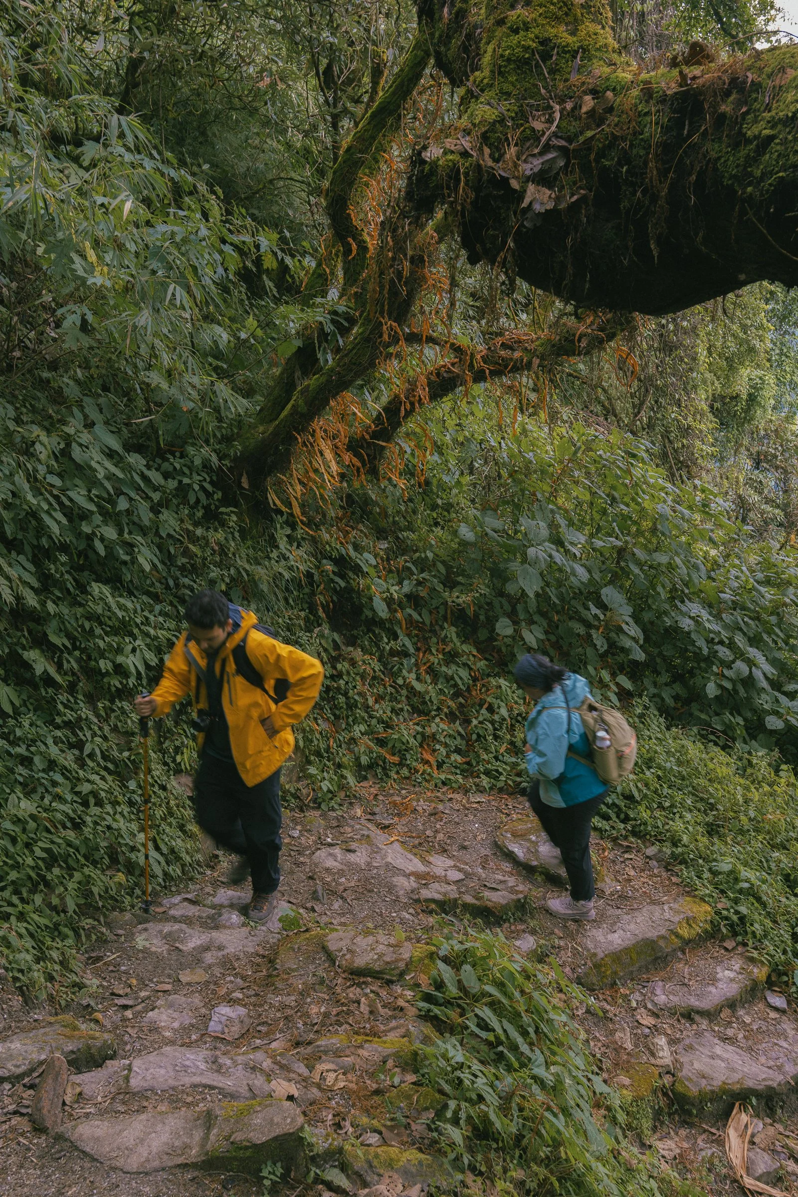
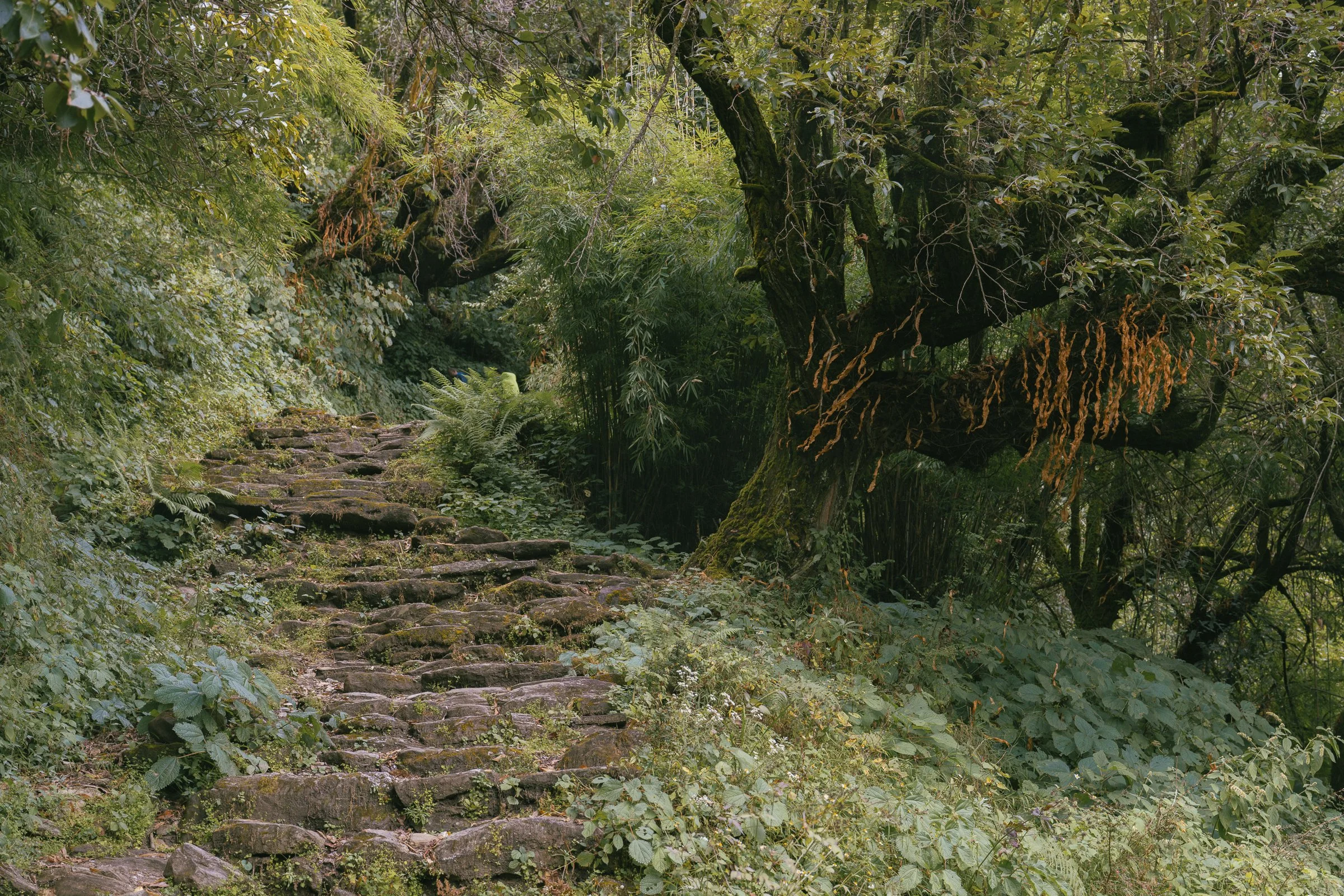
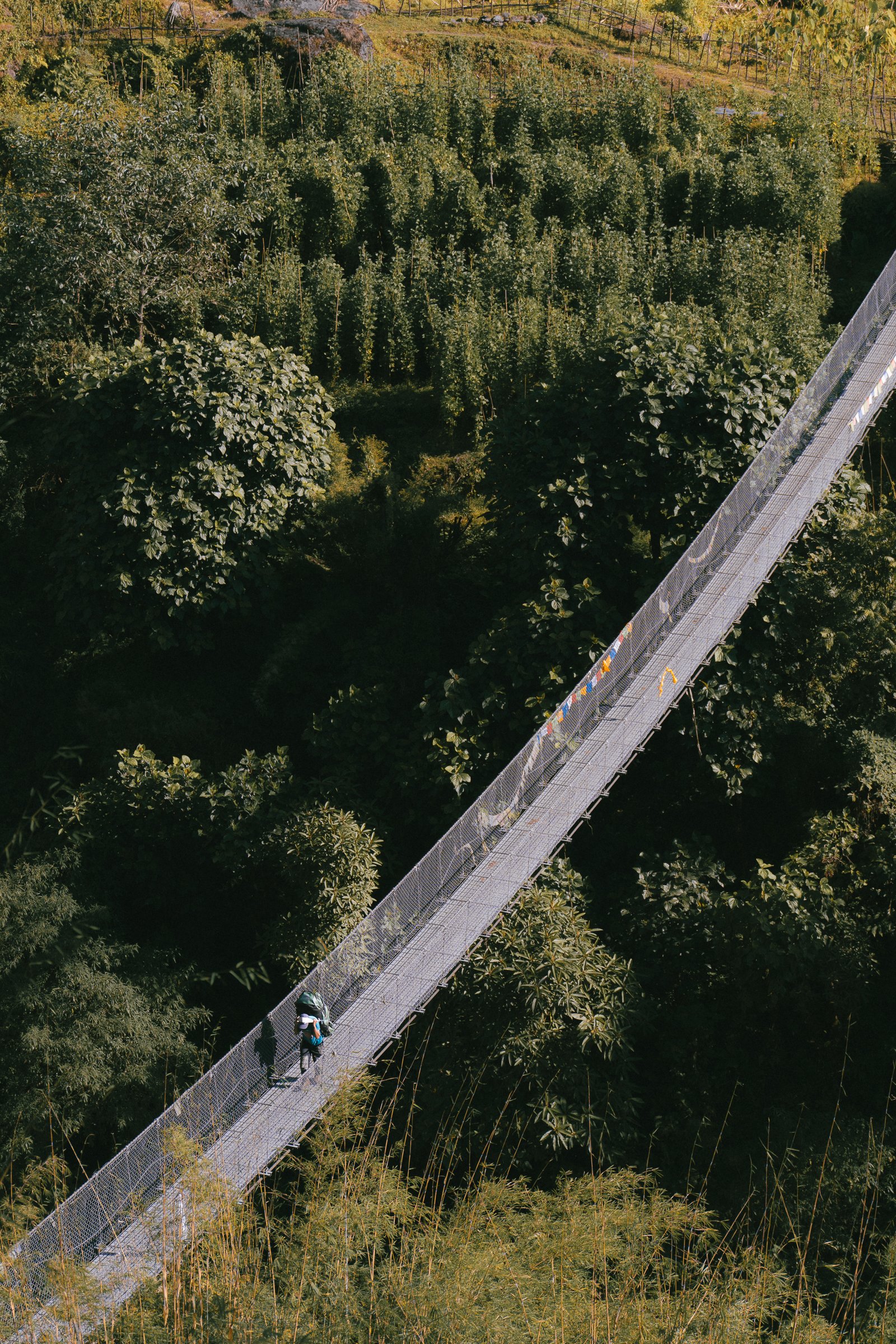
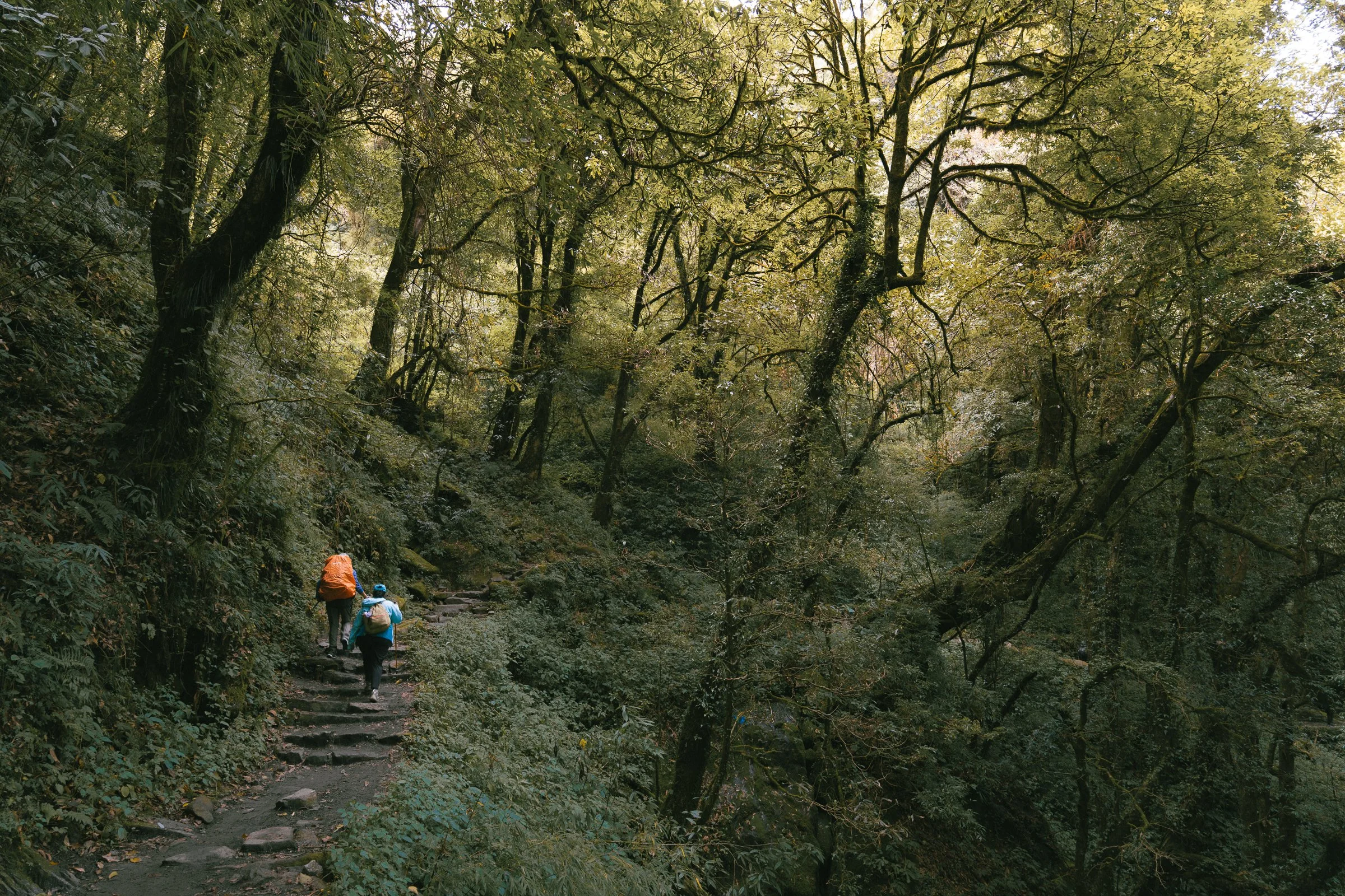
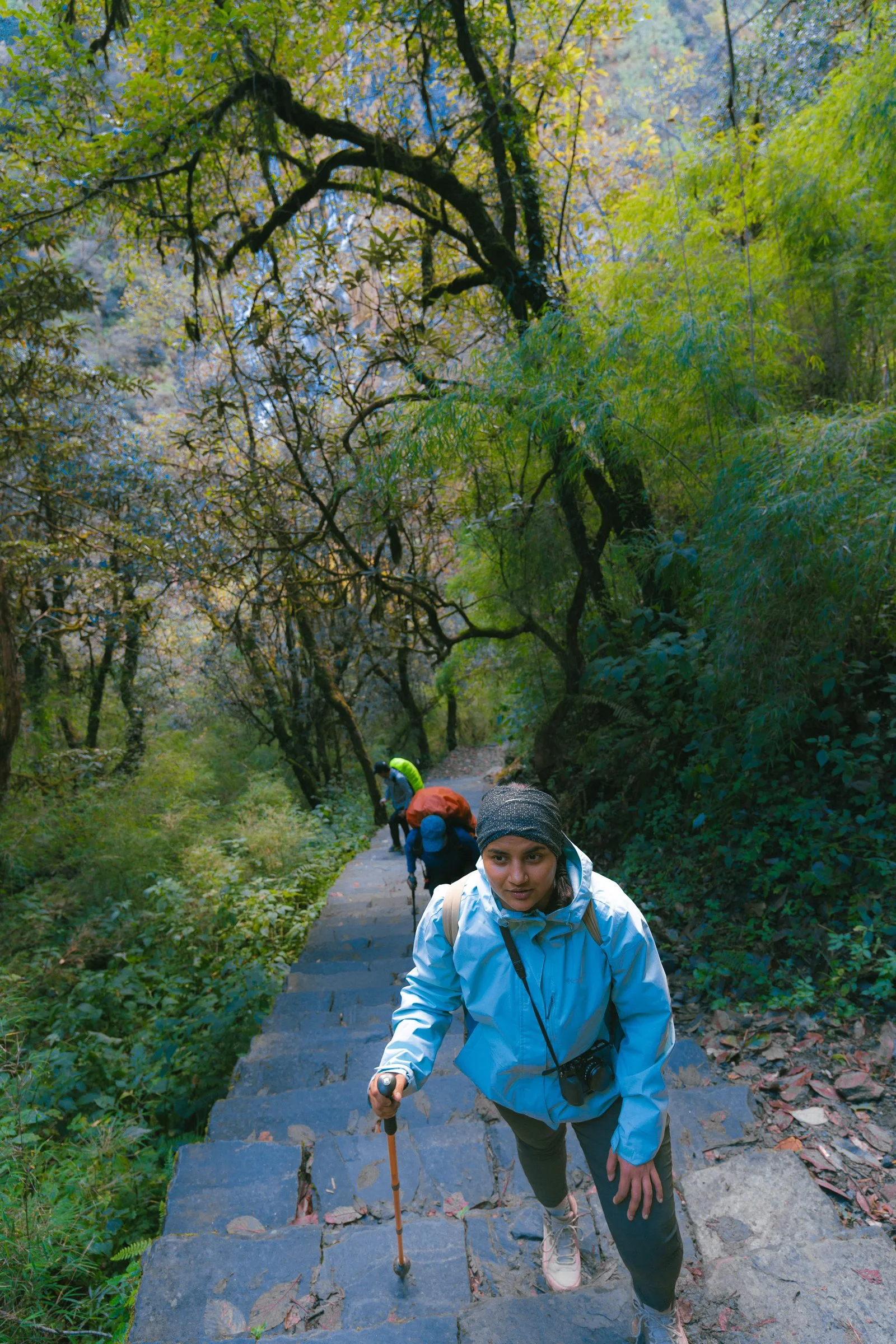
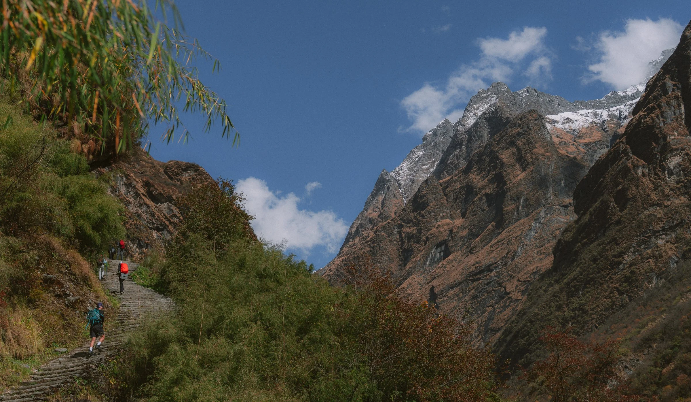
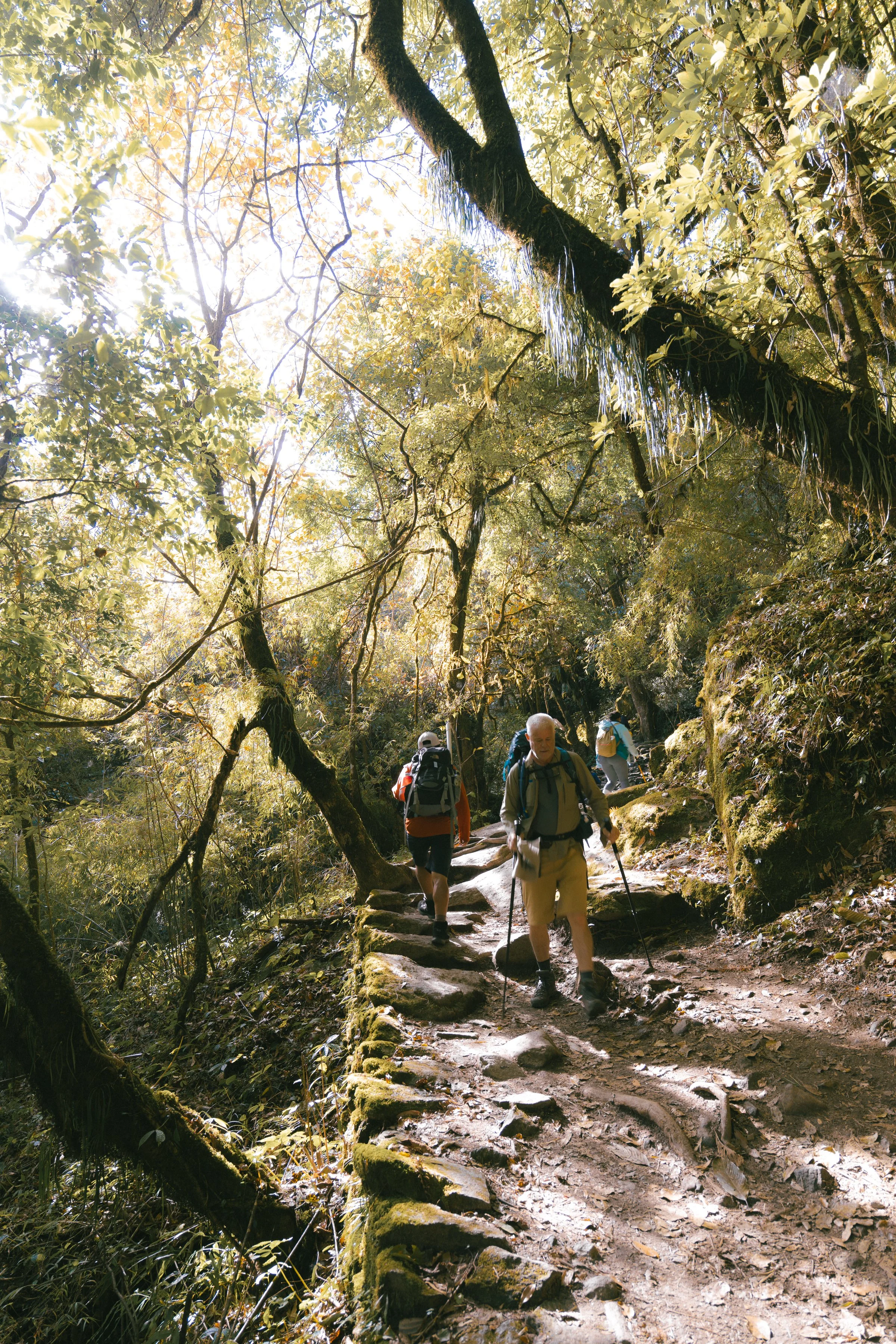
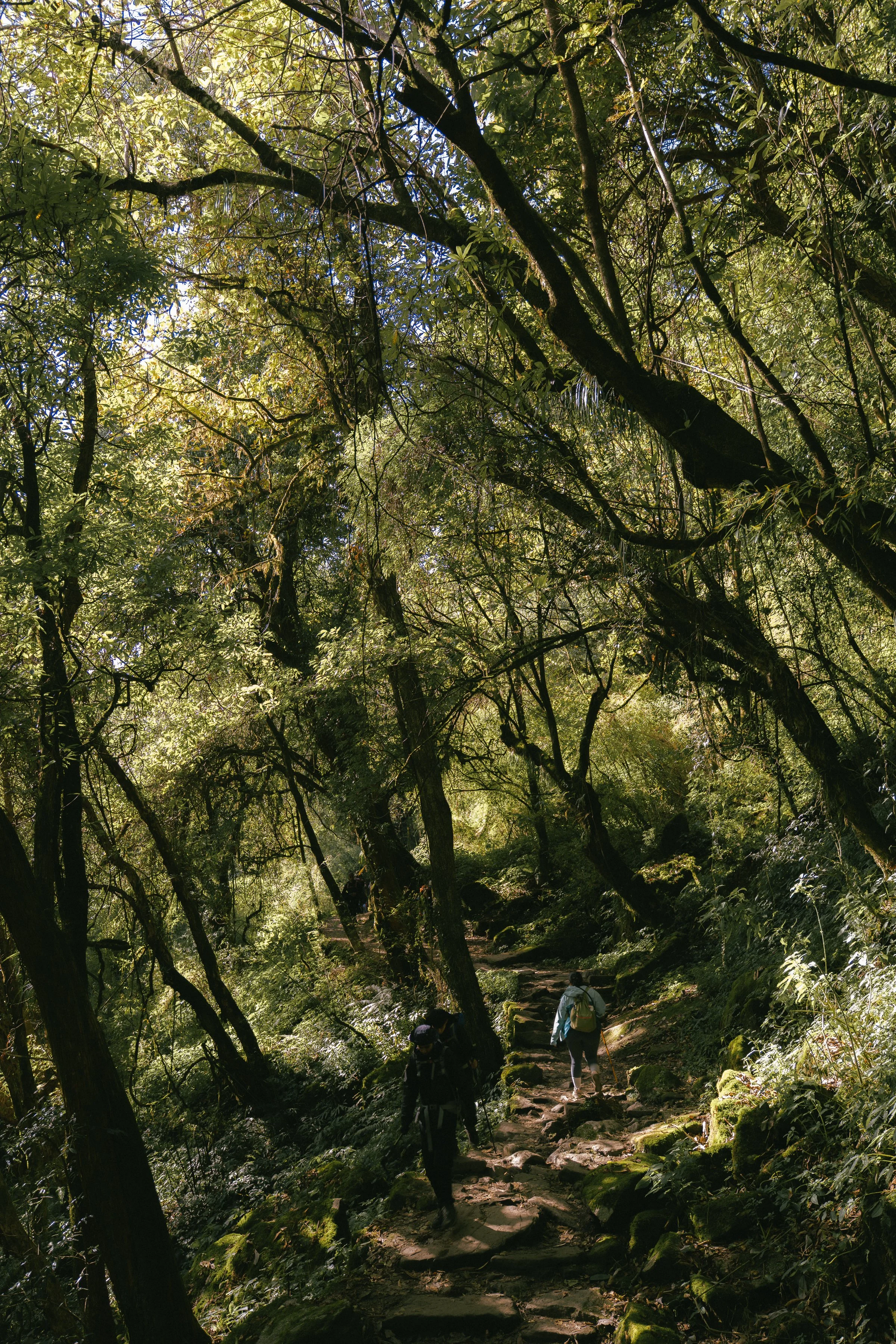
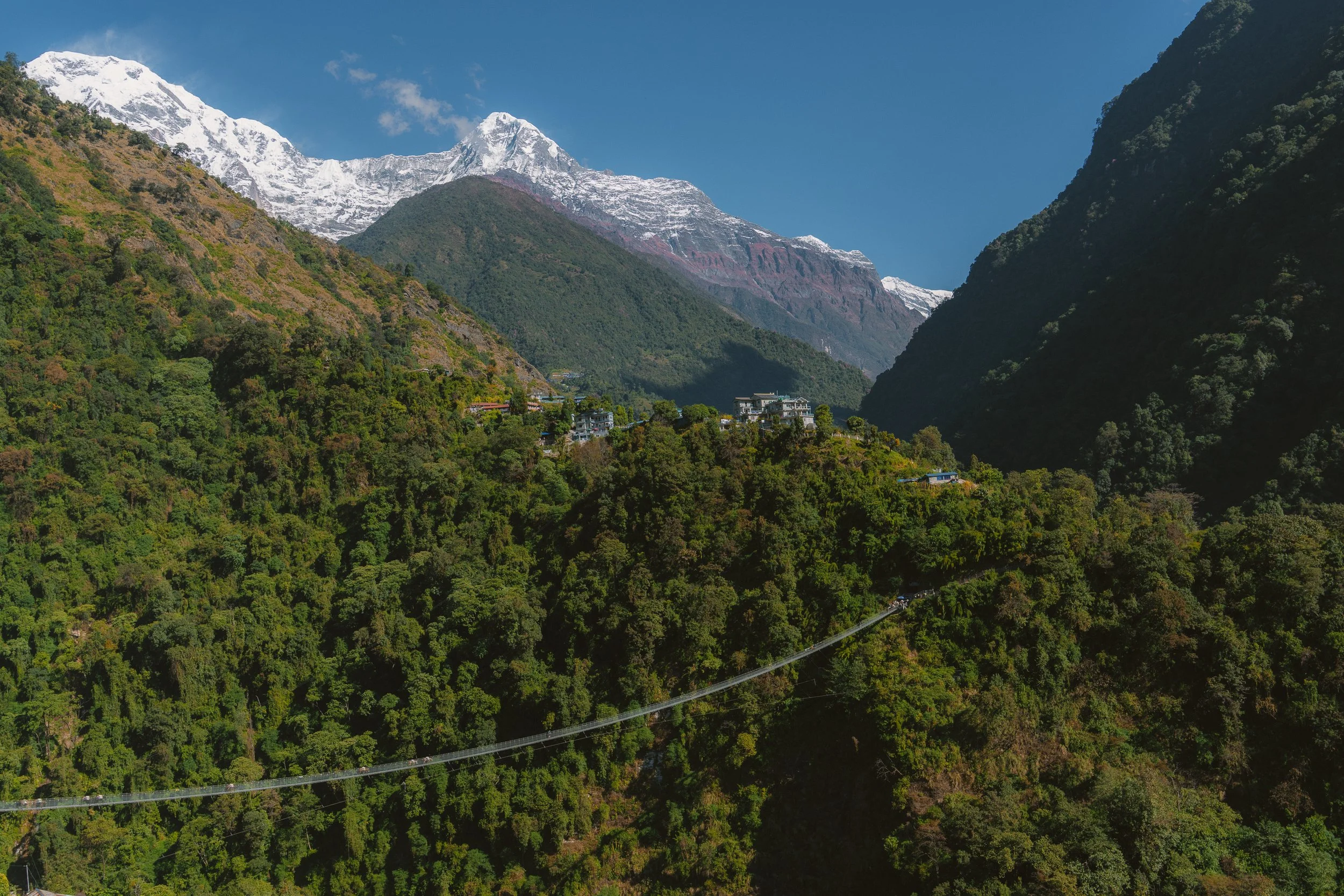
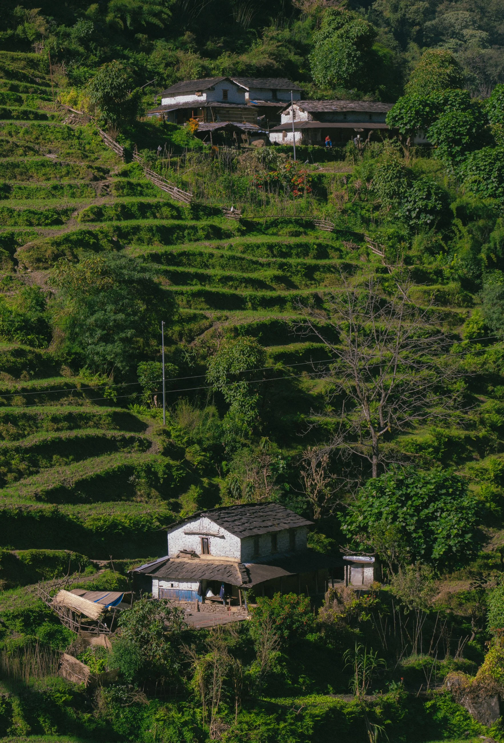
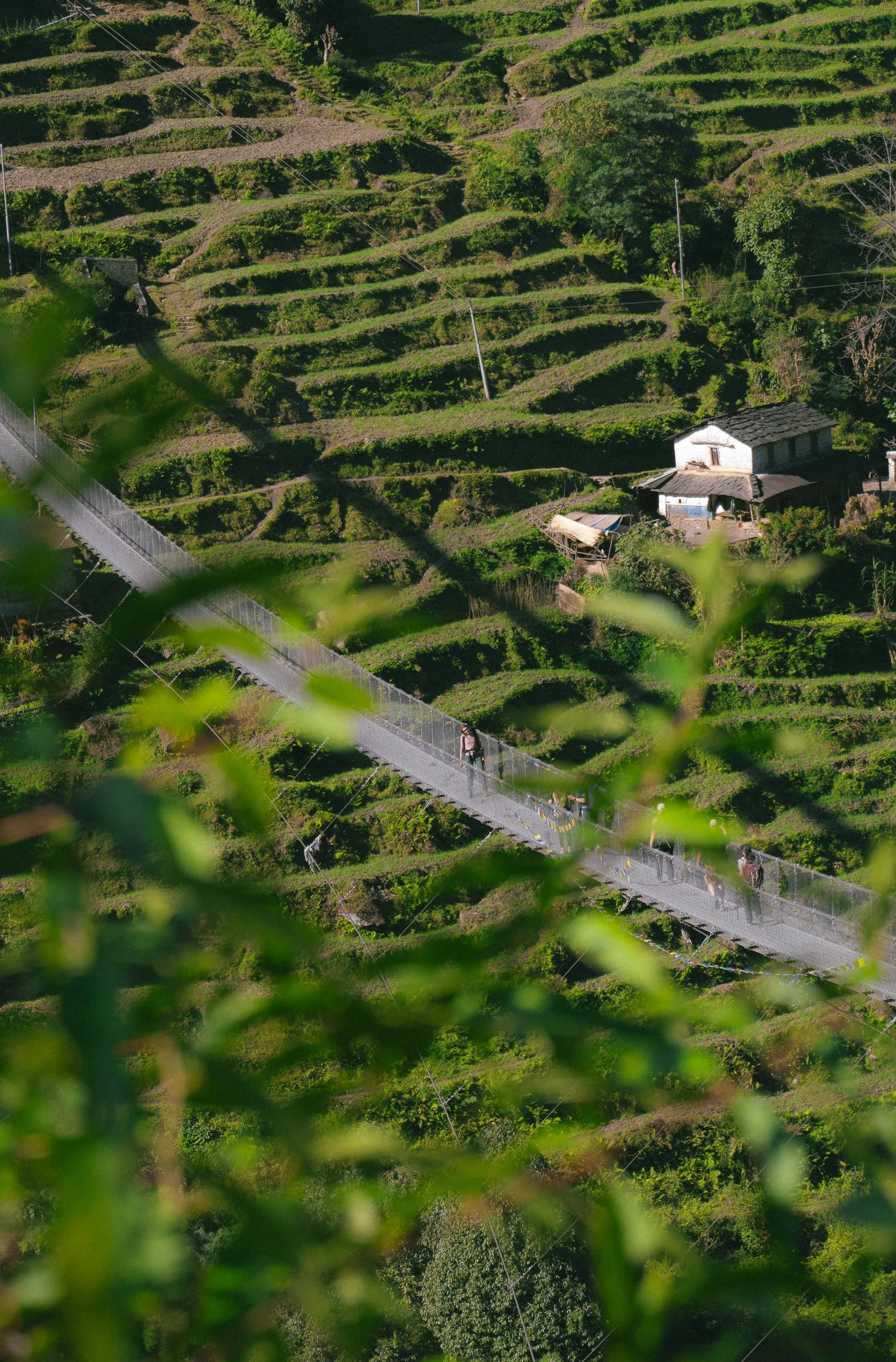
Today is our first day of hike. The hike went through villages while the mountains were still visible, and they slowly disappeared again. We crossed a bridge, said hi to a few locals, and climbed on.
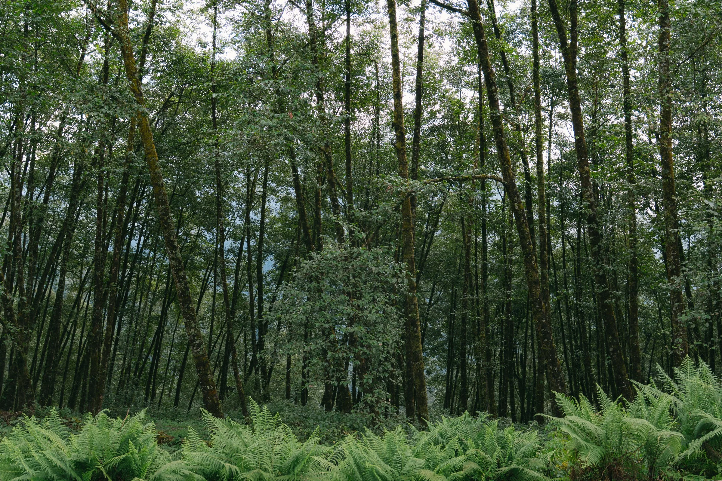
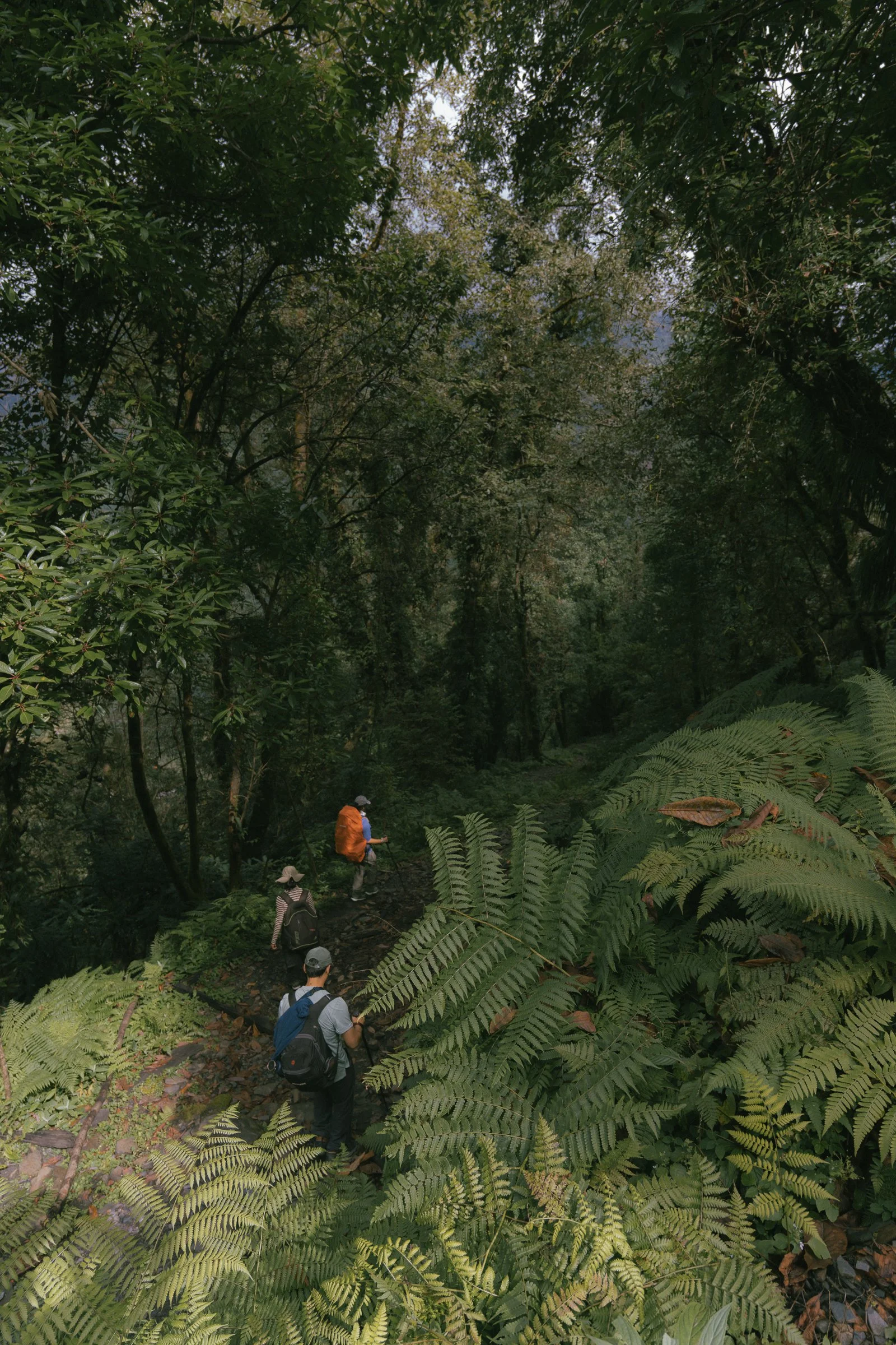
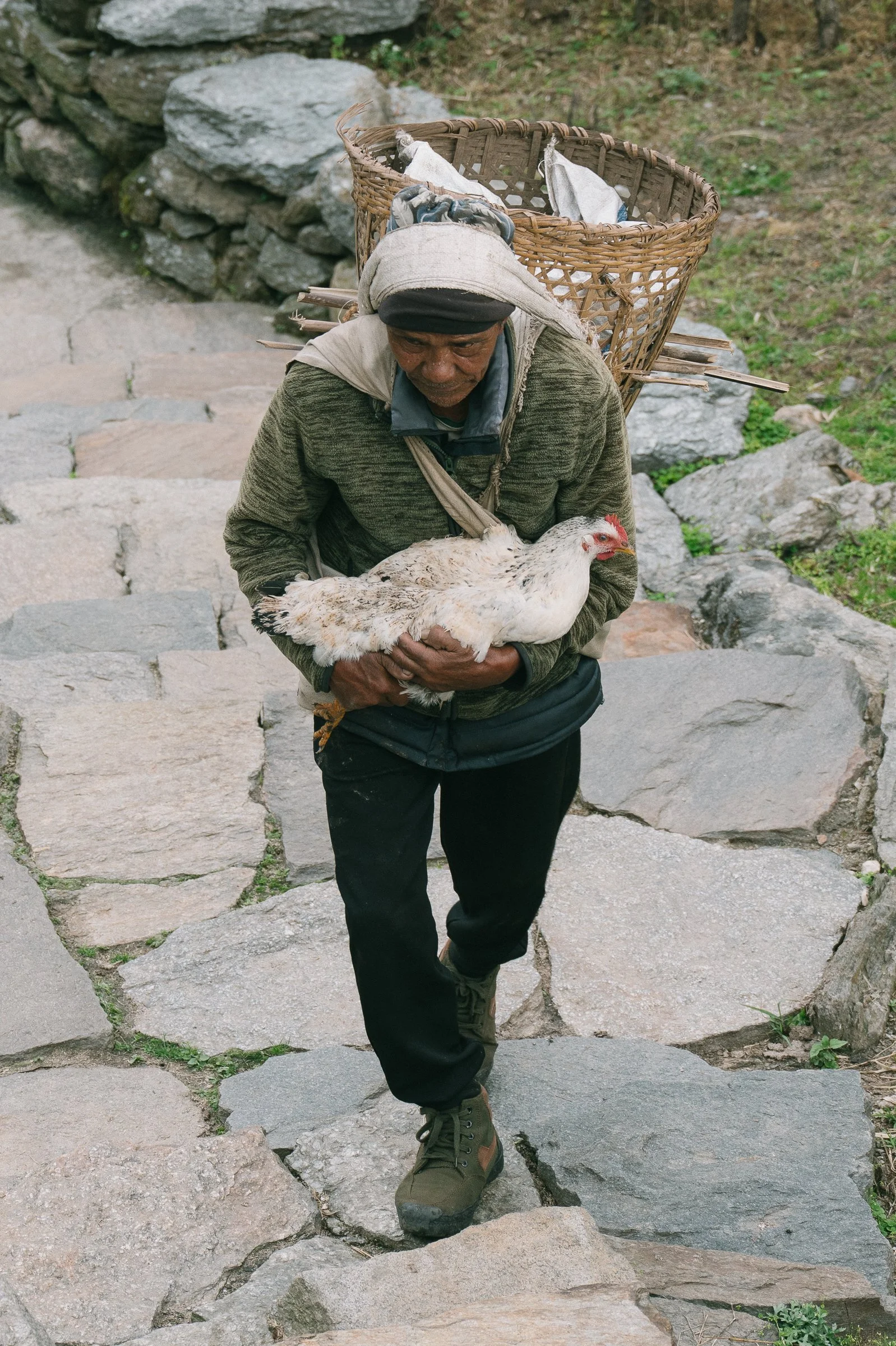
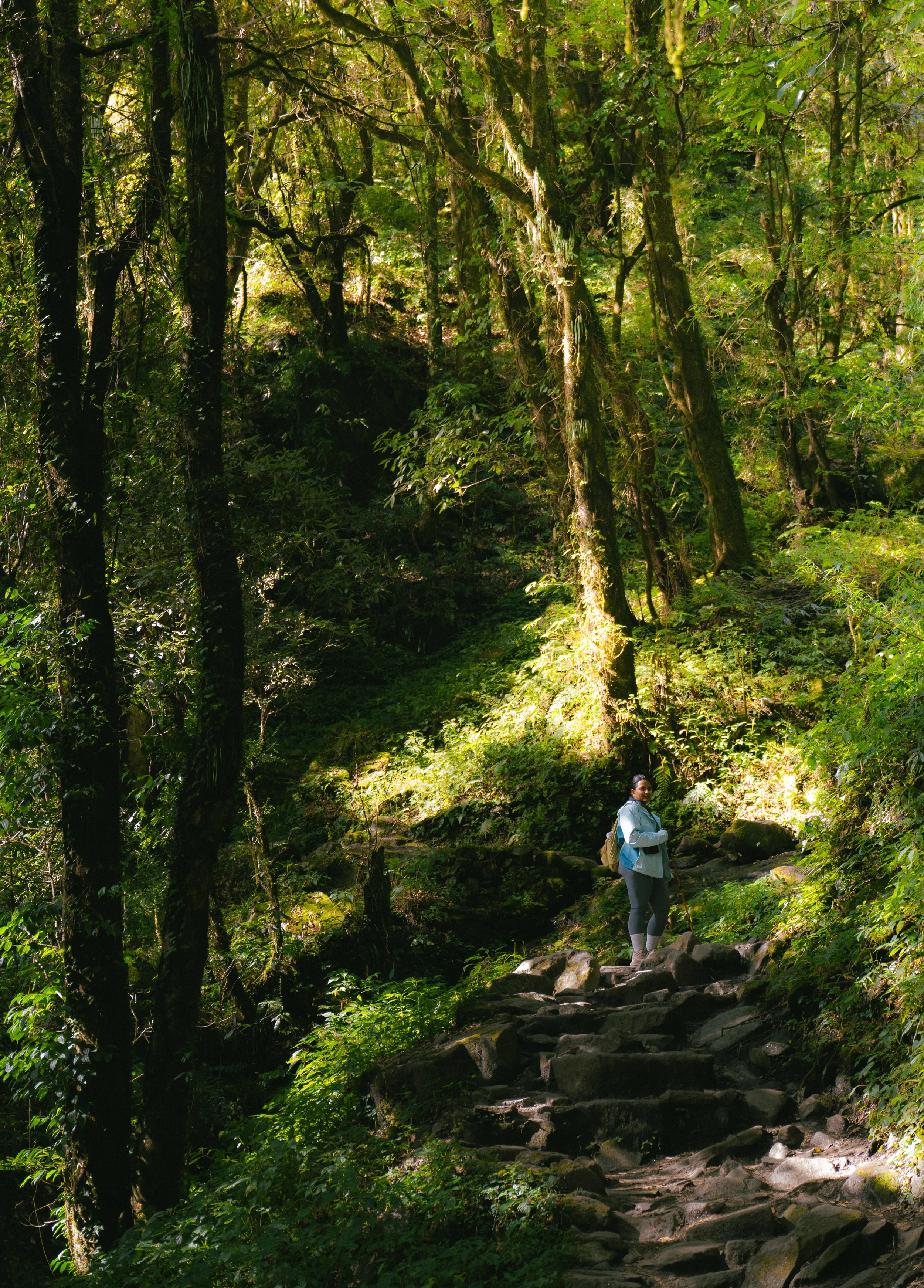
We had to climb down a mountain and up again for lunch. Even in the mountains, we had wonderful farm-to-table dal bhat throughout the whole hike. Post lunch, we walked through pristine jungle and went through small villages where mountain dogs ran through the lanes.
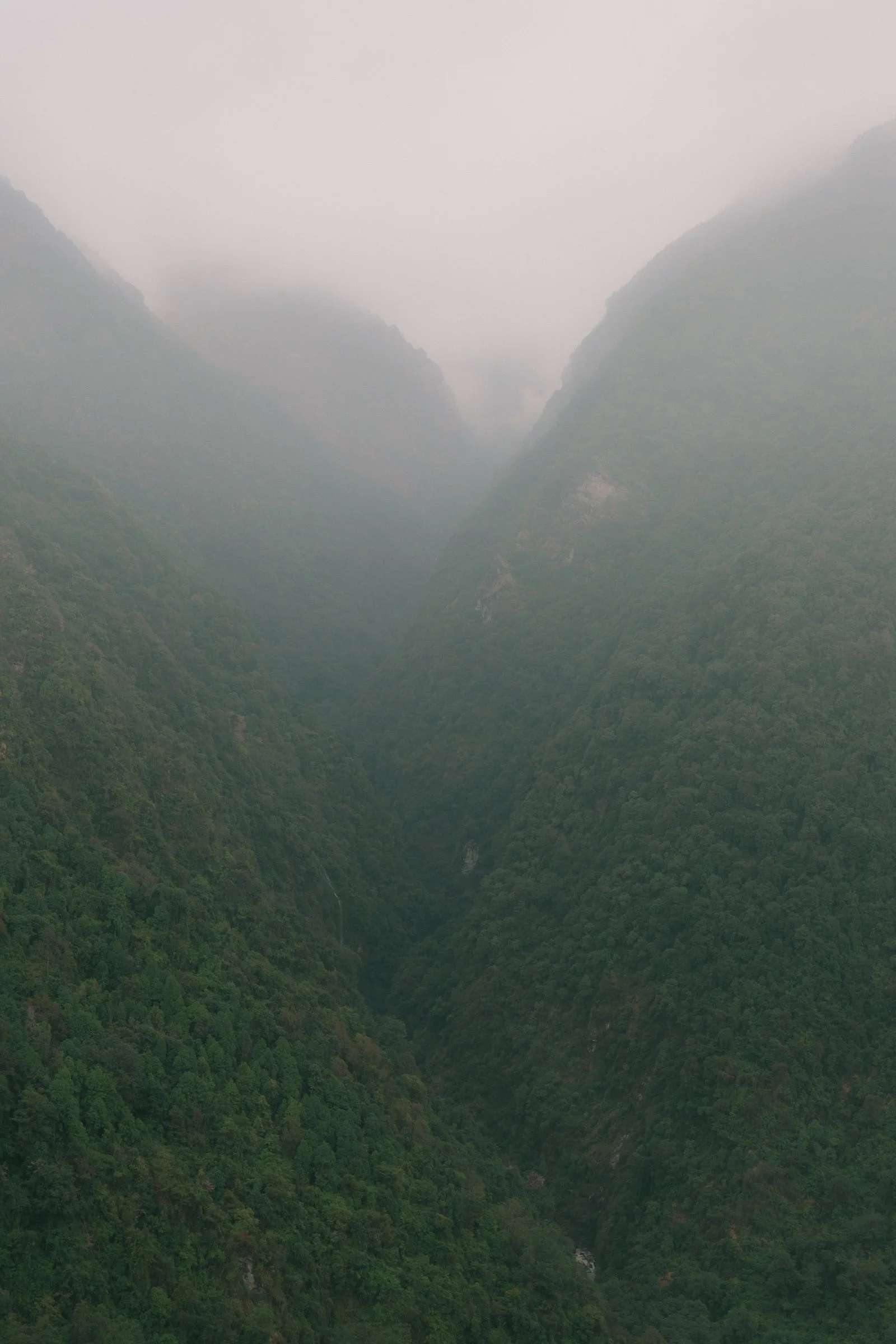
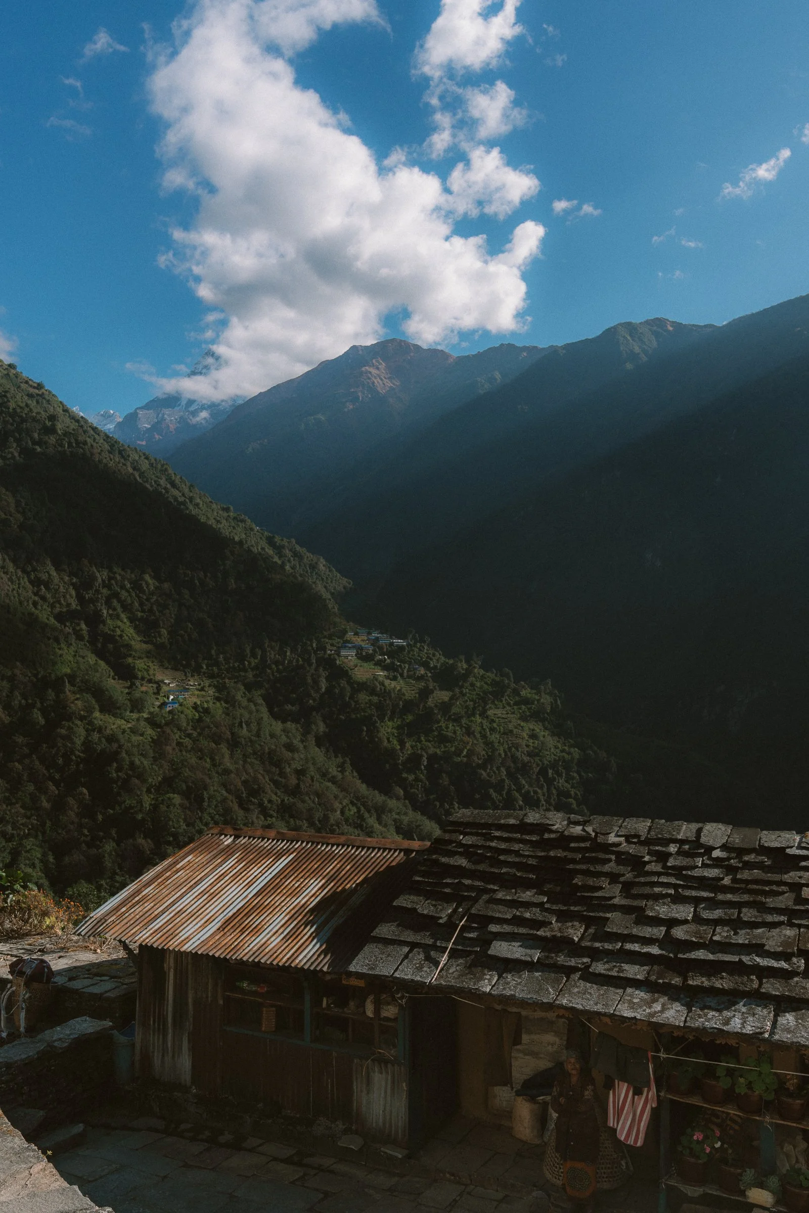
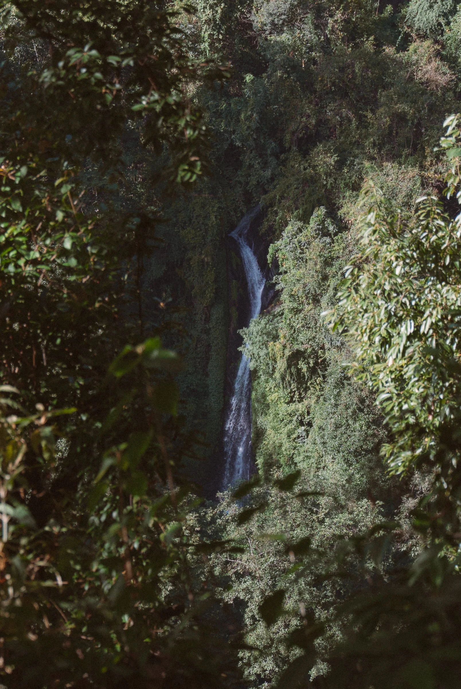
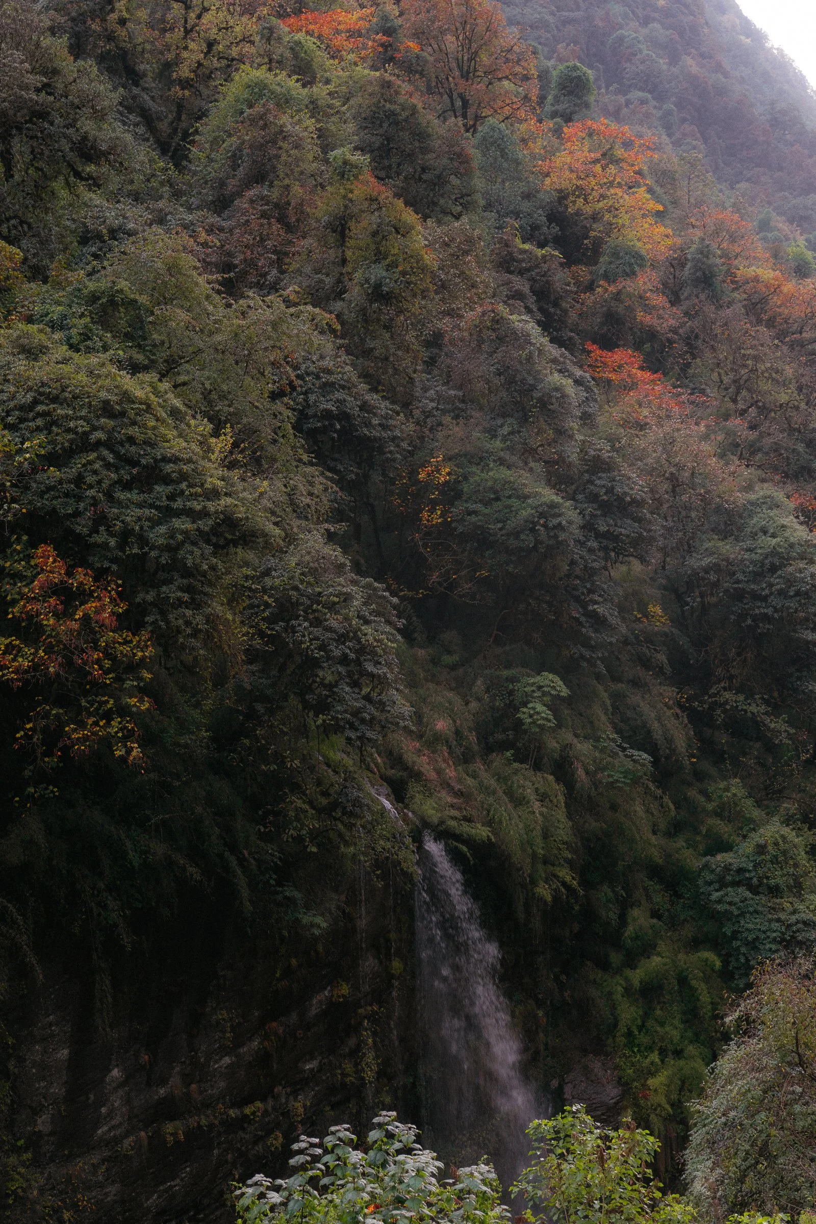
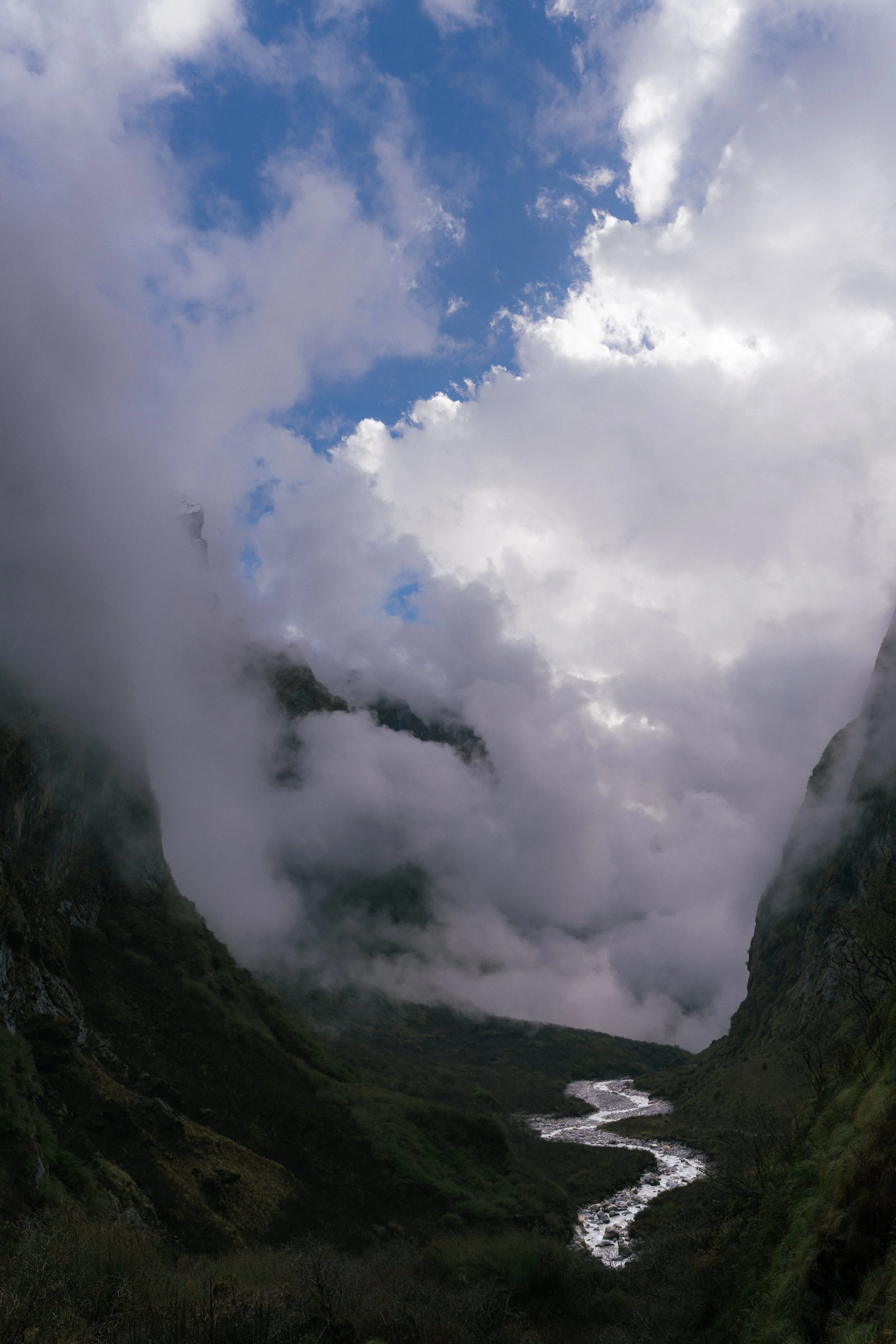
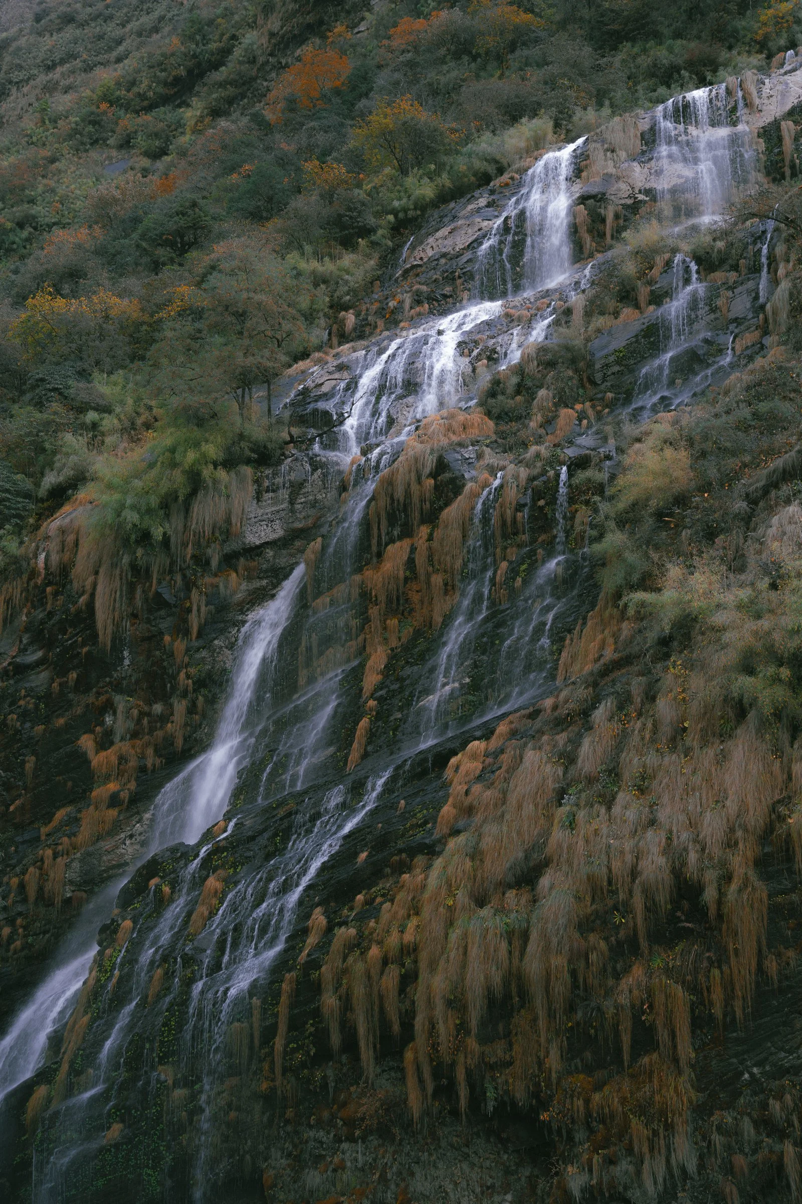
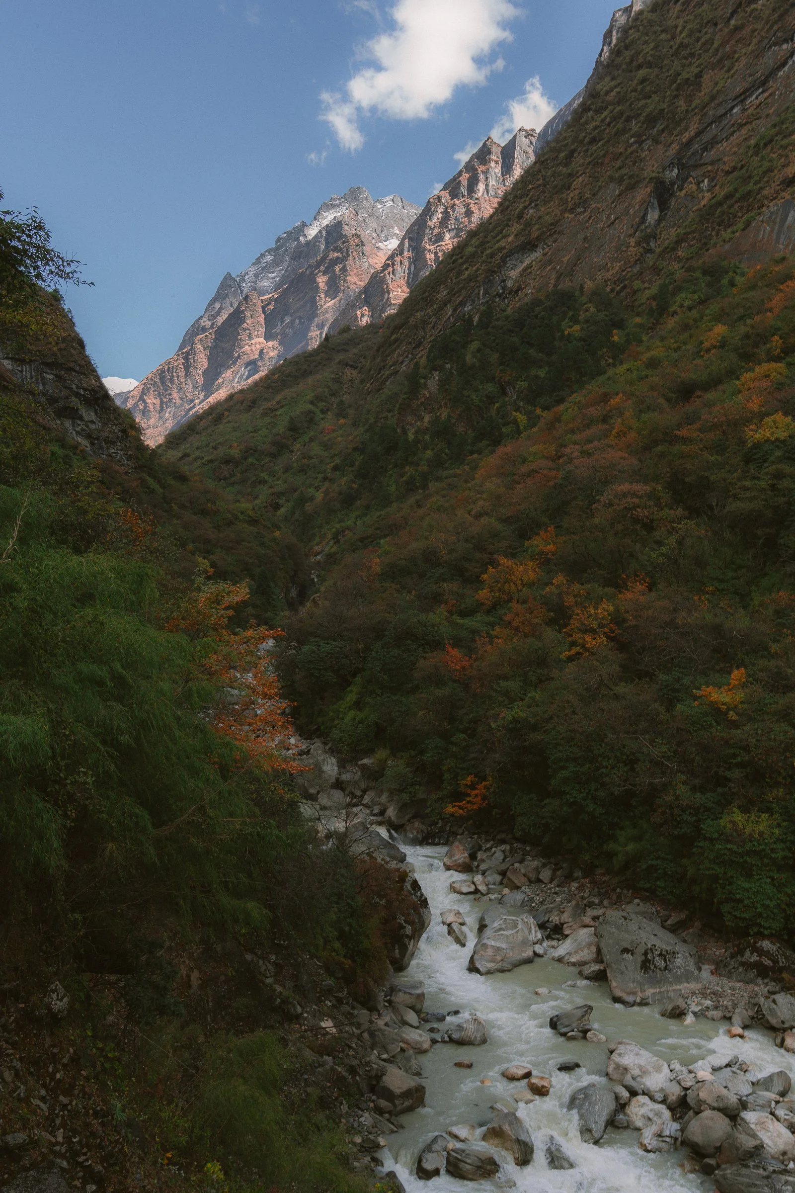
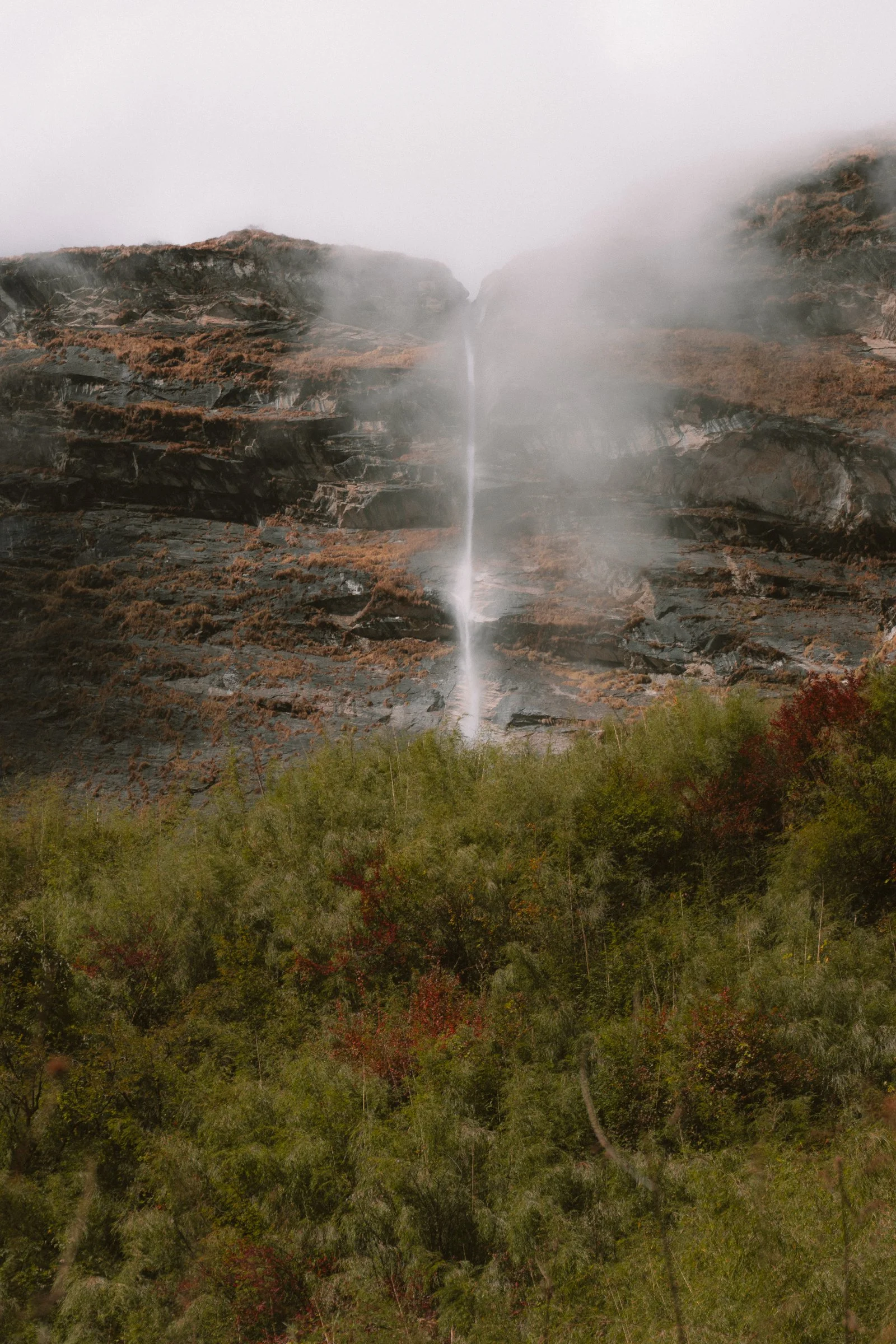
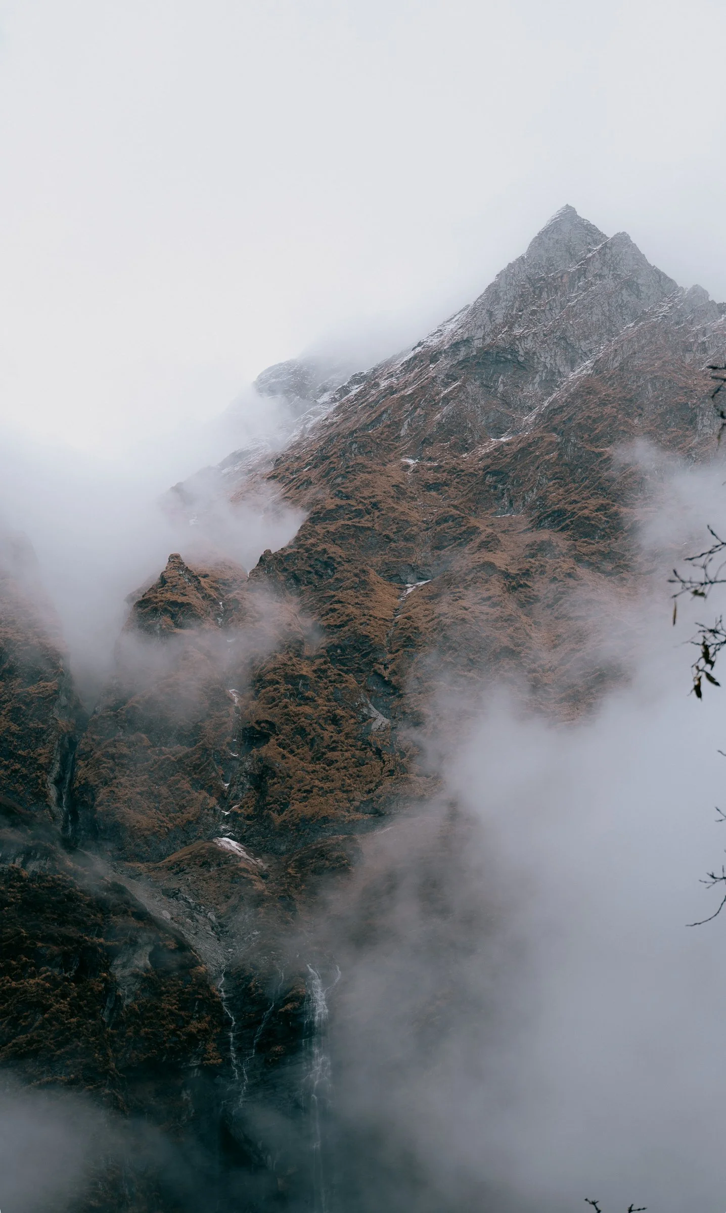
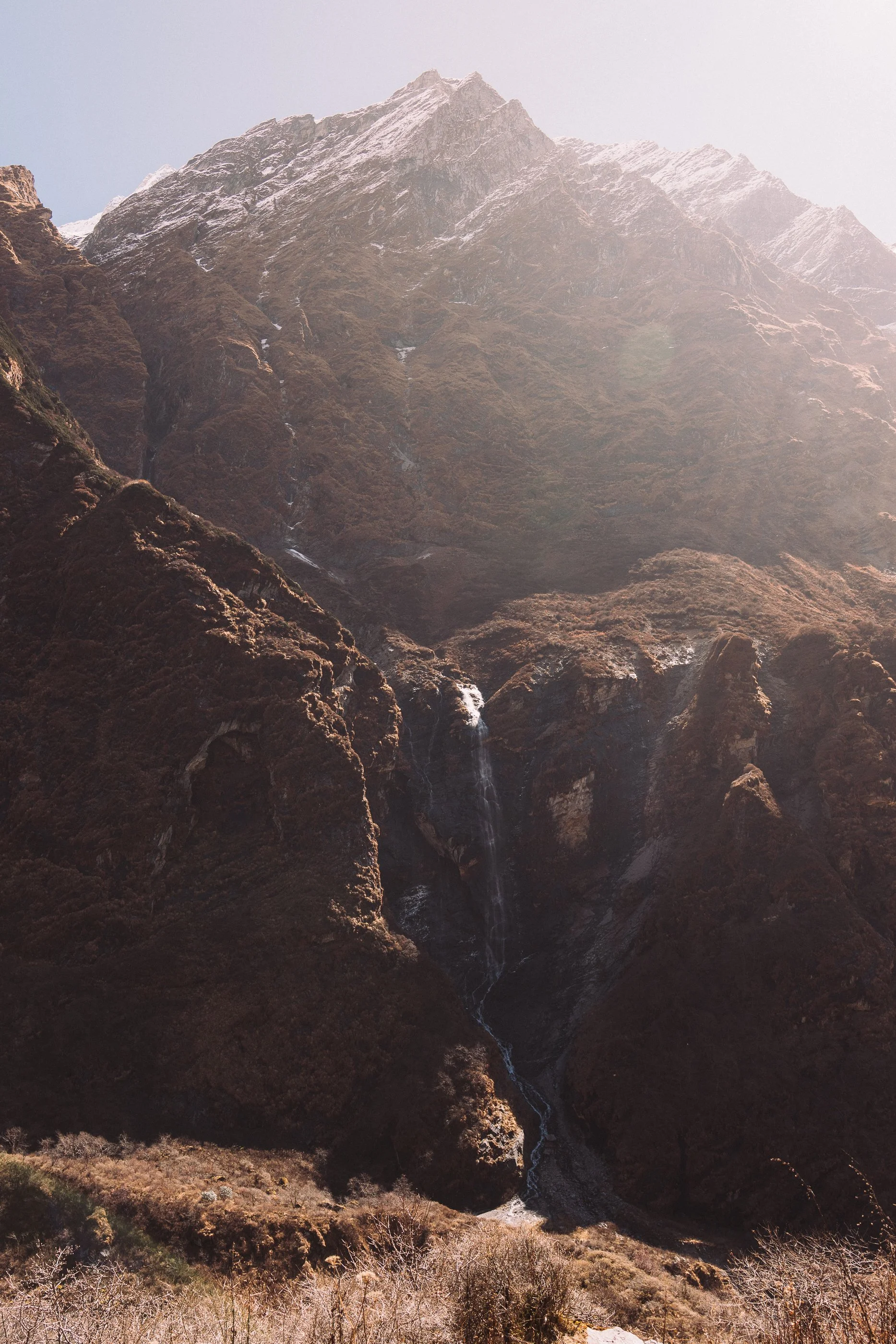
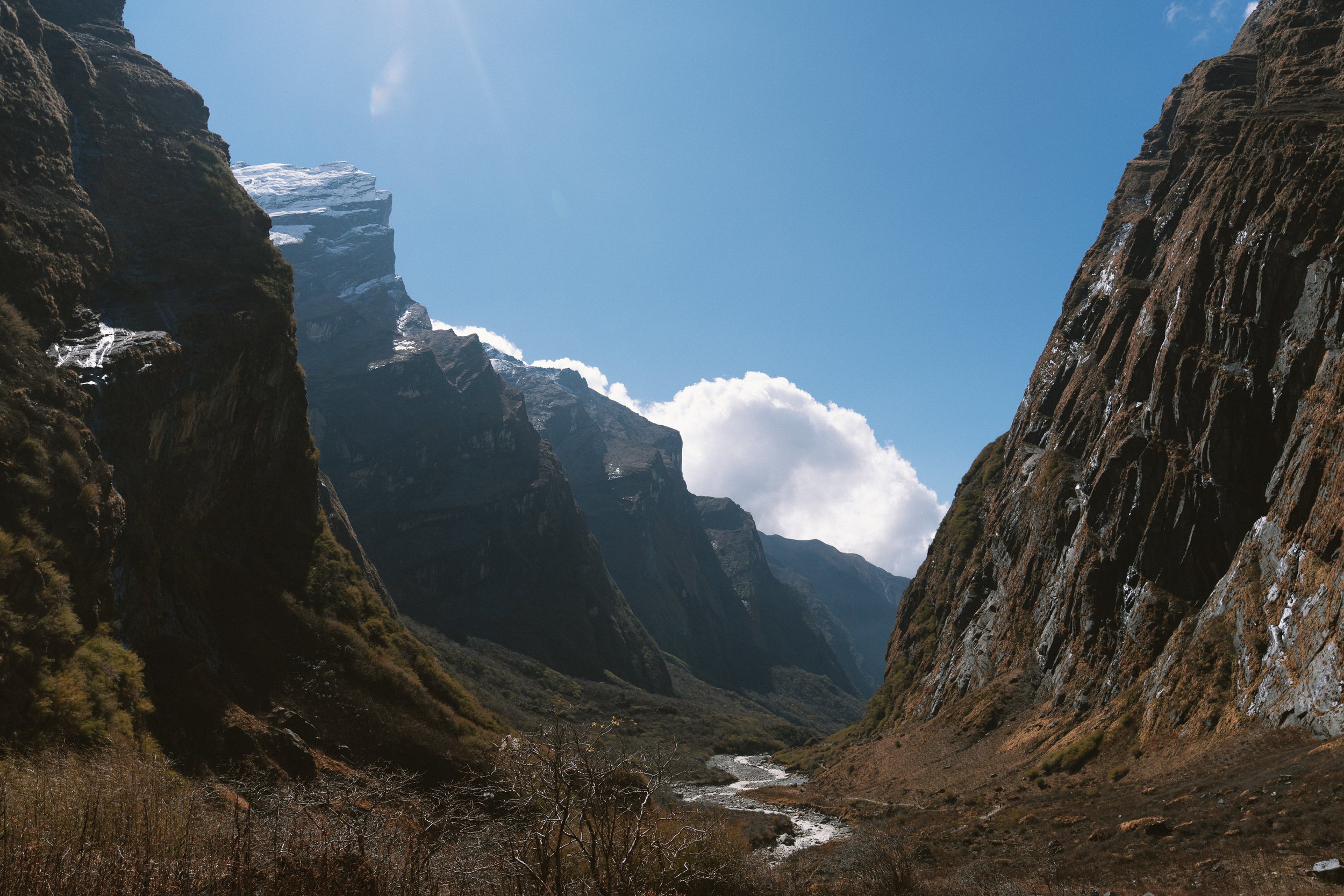
After what felt like 1,000 stone stairs down (Little did i know i will be climbing these back up later), we finally reached Chhomrong. The village overlooked the valley and the mountains, but we couldn't see any at that point as the fog covered them. You could see tiny waterfalls in the mountains, but that's pretty much it.

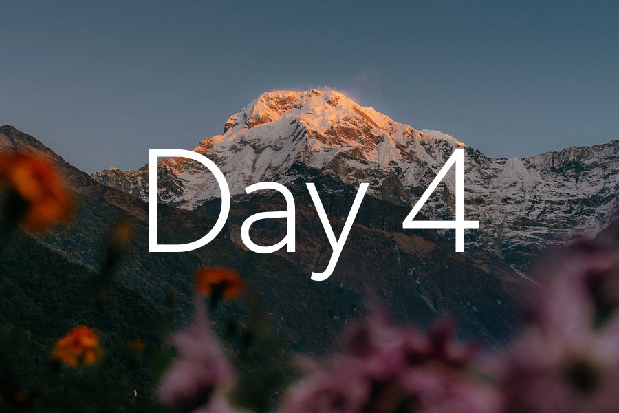
Day 4
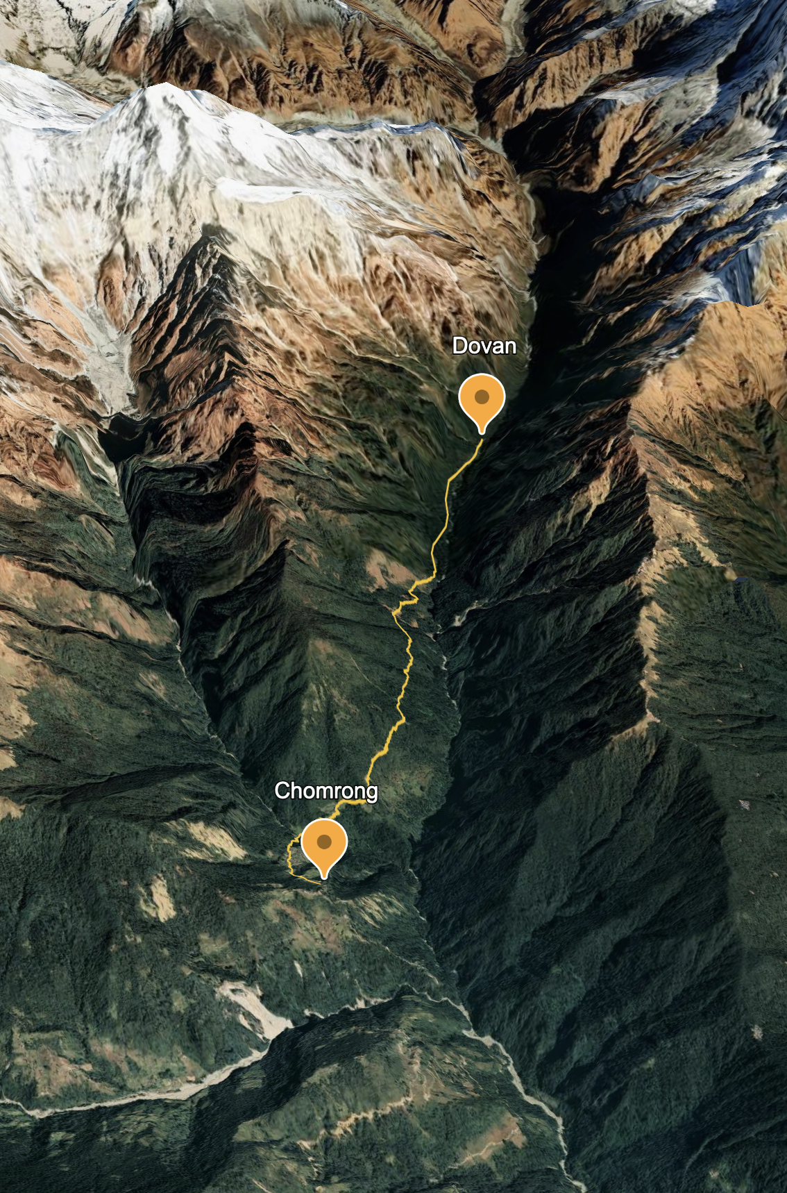
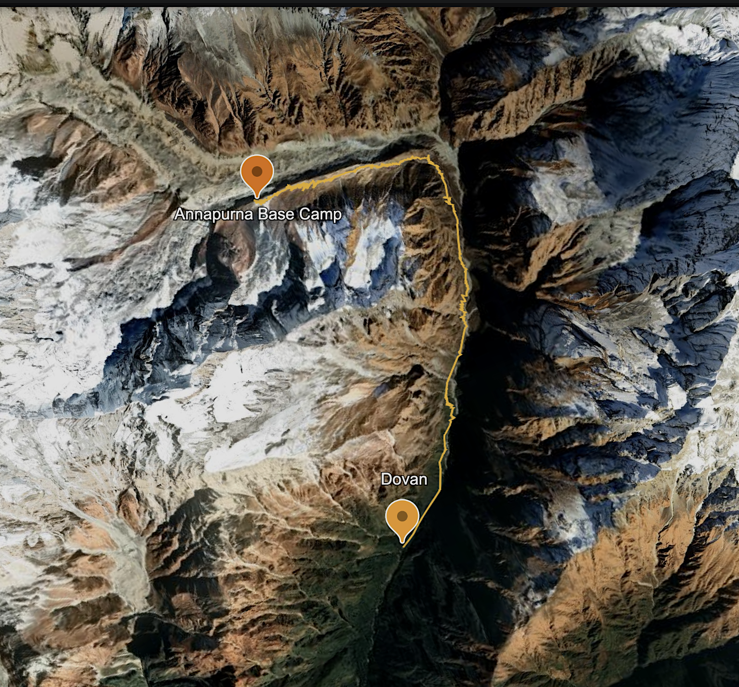
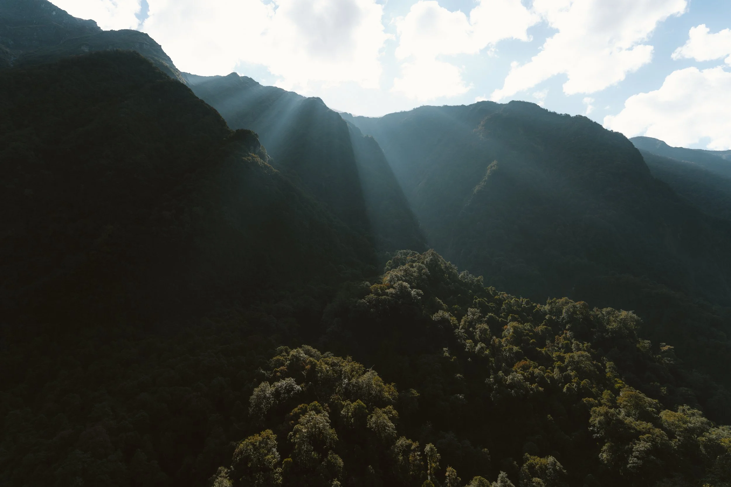
Day 4: Chhomrong to Dovan — The Jungle Walk
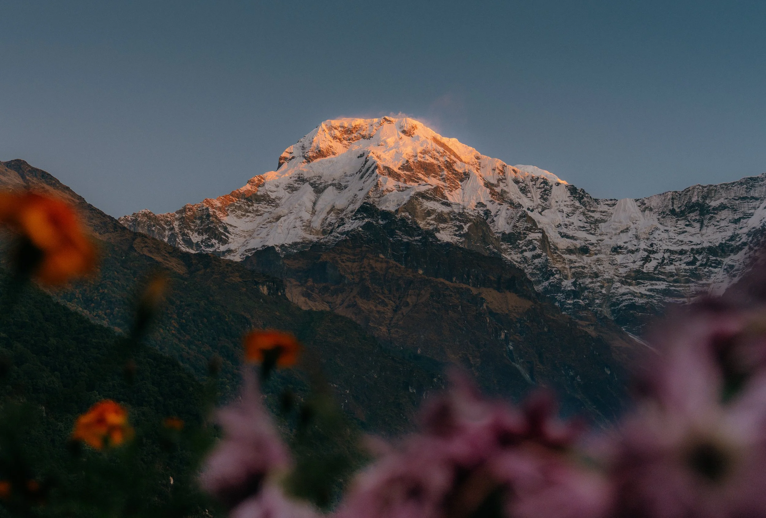
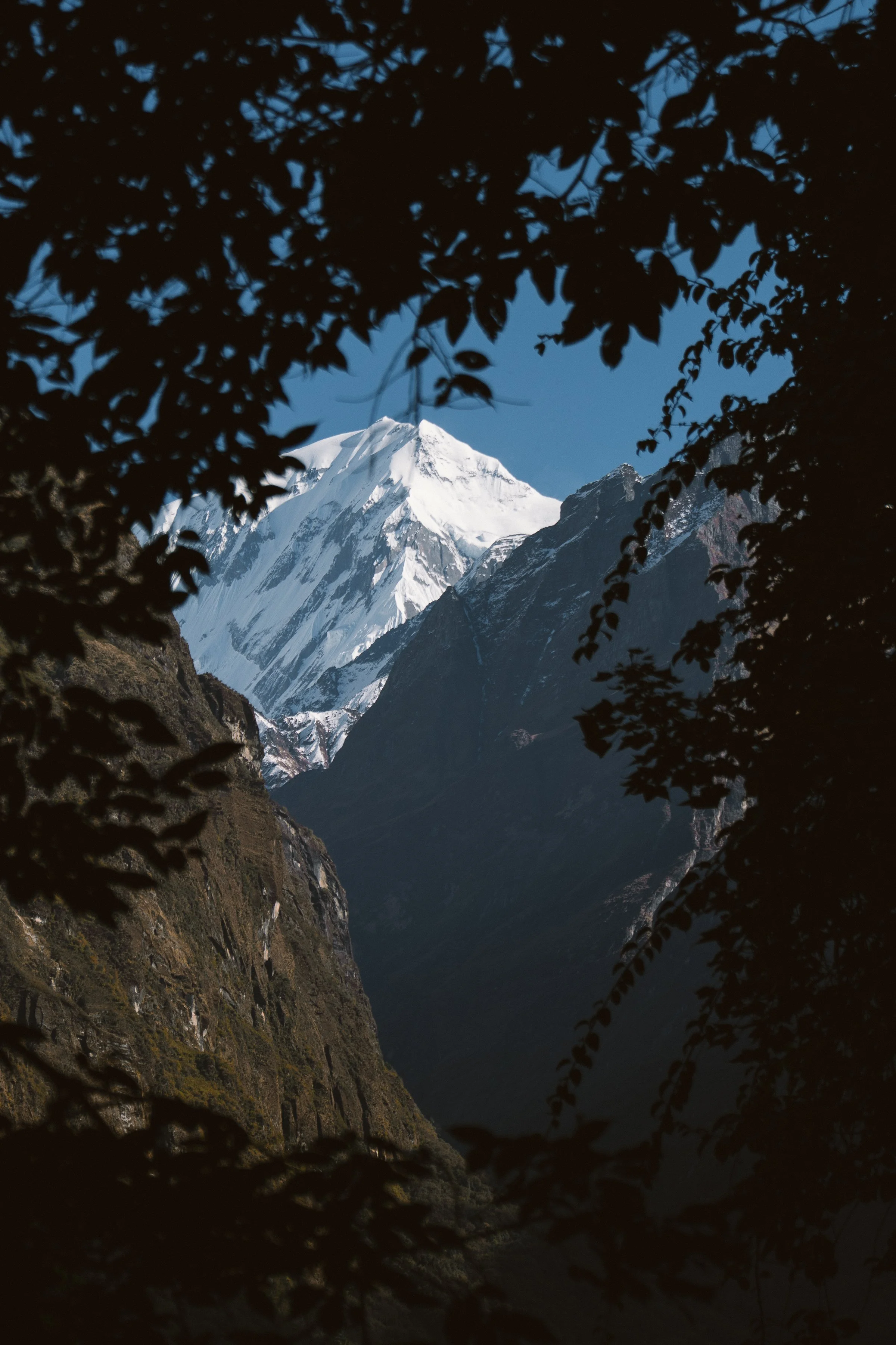
Altitude: 2,204m → 2,298mAround 5:50am, I woke up in our stay and was excited to see the mountains. I sneaked out of our room and found the mountains reflecting the beautiful blue light of early dawn. The pre-dawn light cast a magical glow over the whole valley, and for the first time, we could see the peaks of Machhapuchhre and Annapurna clearly glowing in the golden morning light. It was a humbling and stunning sight, and even a quick trip to the washroom felt picture perfect.
We had a lovely breakfast, charged our cameras, and slowly started the second day of our hike. Within 15 minutes, we reached down and saw the first shrine on our trip.
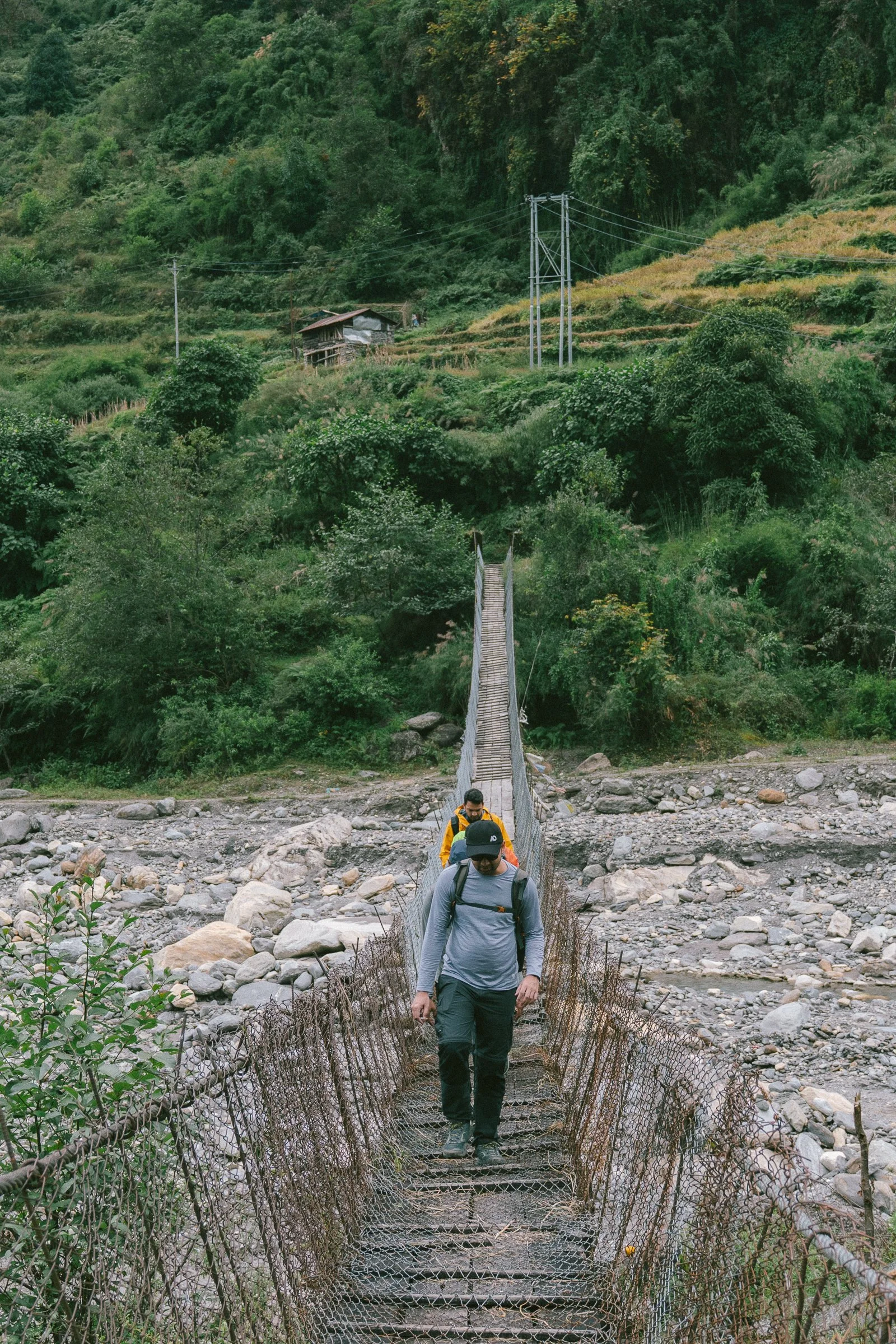
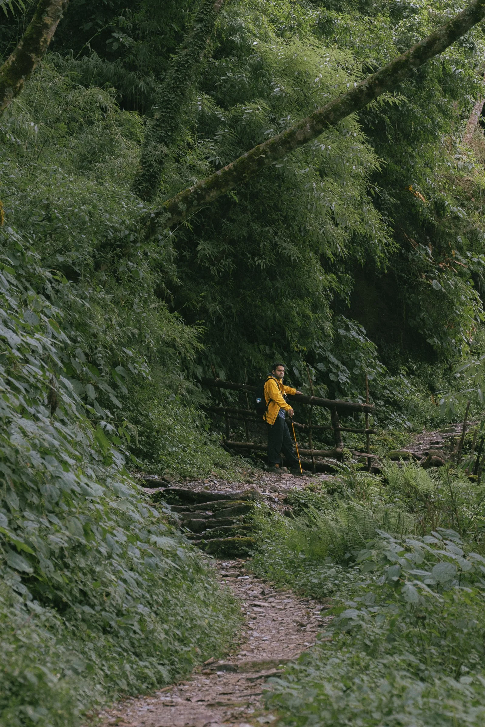
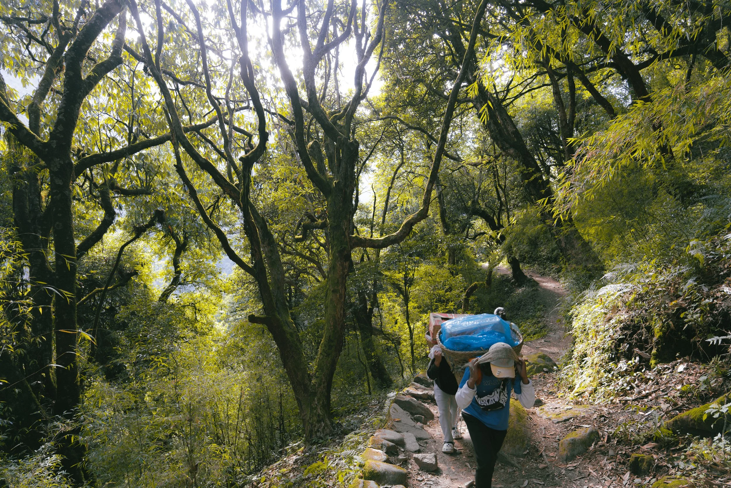
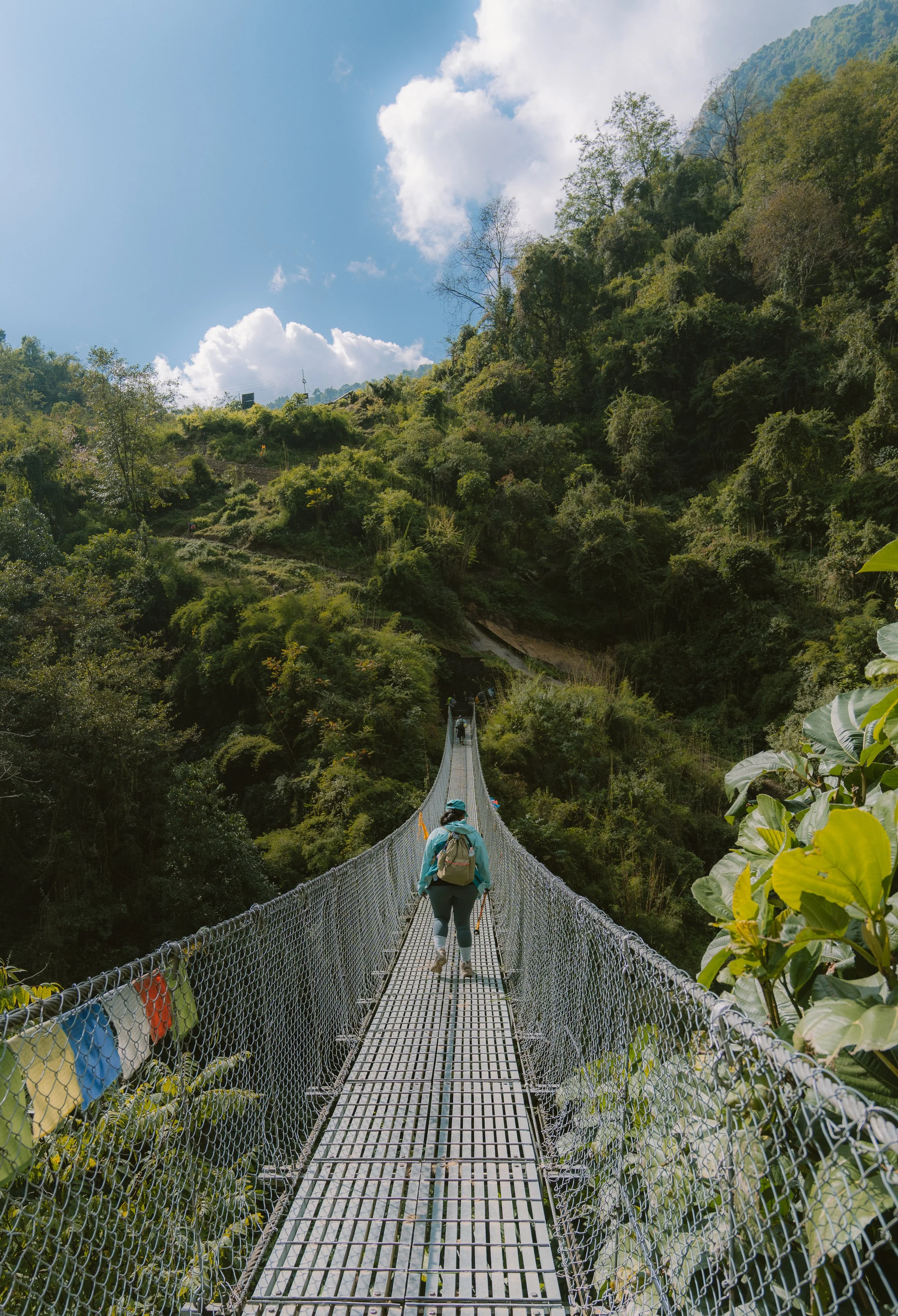
The descent was longer than I realised, and at one point, we saw cows roaming around the valley. We crossed another bridge and saw the mules were waiting to cross the bridge, carrying loads. We had lunch in Upper Dovan and started the descent into the jungle.
During a break, Kamal and his friends talked about the infamous story of how the CIA lost a nuclear-powered device on an Indian mountain. I only recently learned this came up in a New York Times article, strange how these stories resurface.
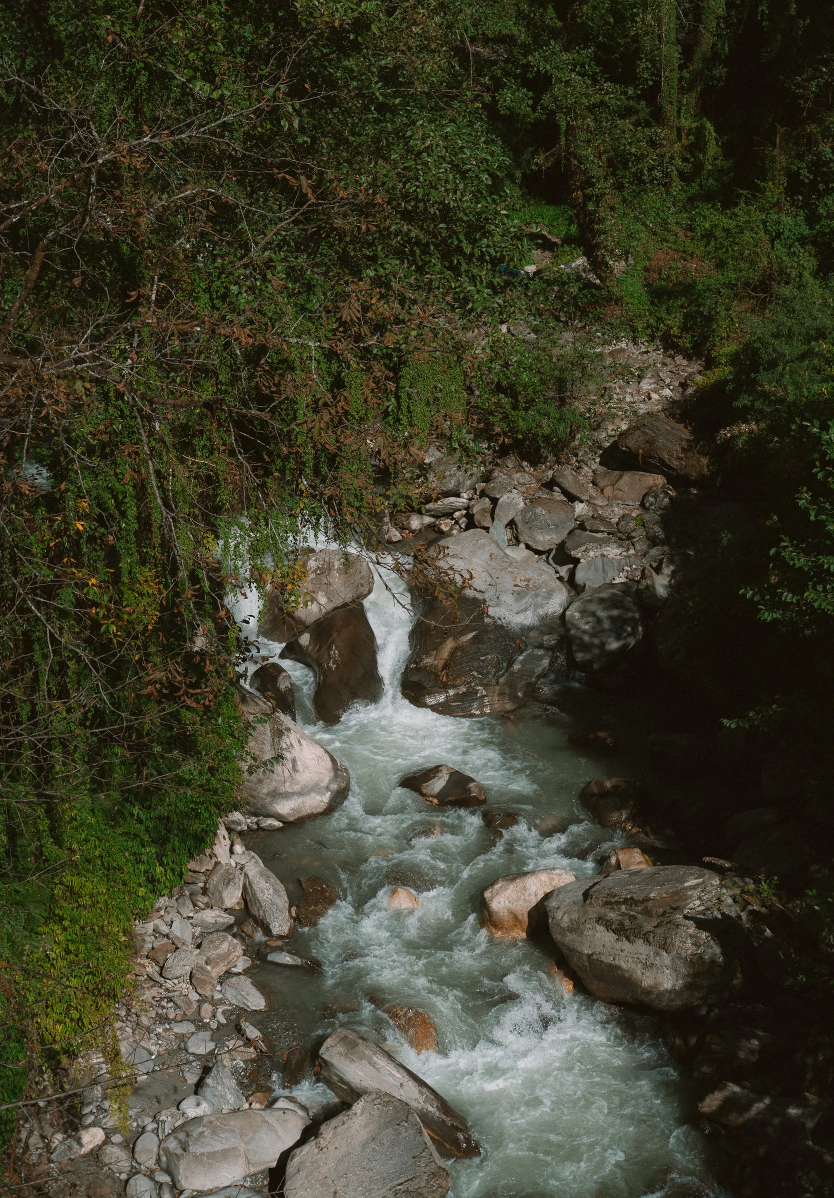
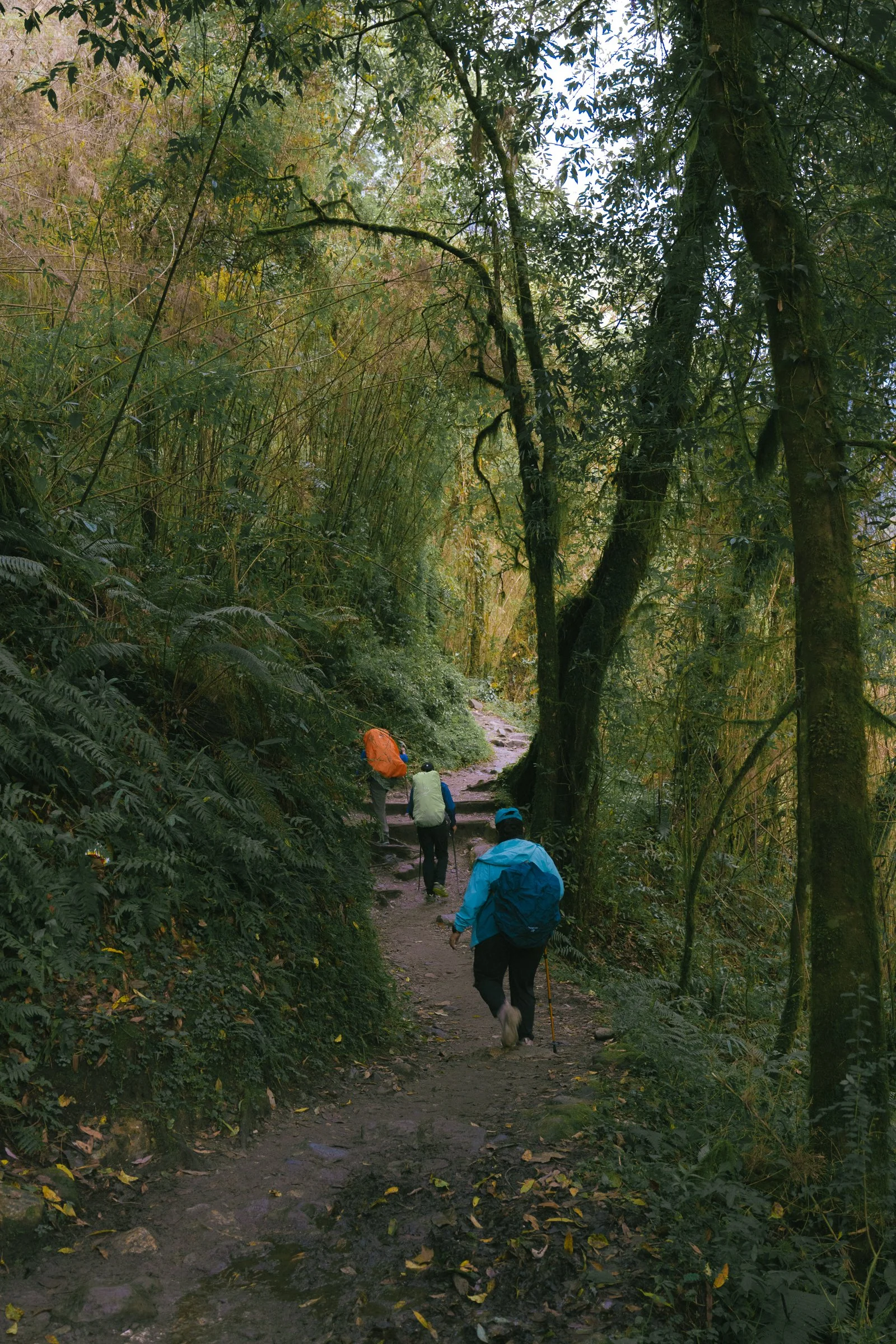
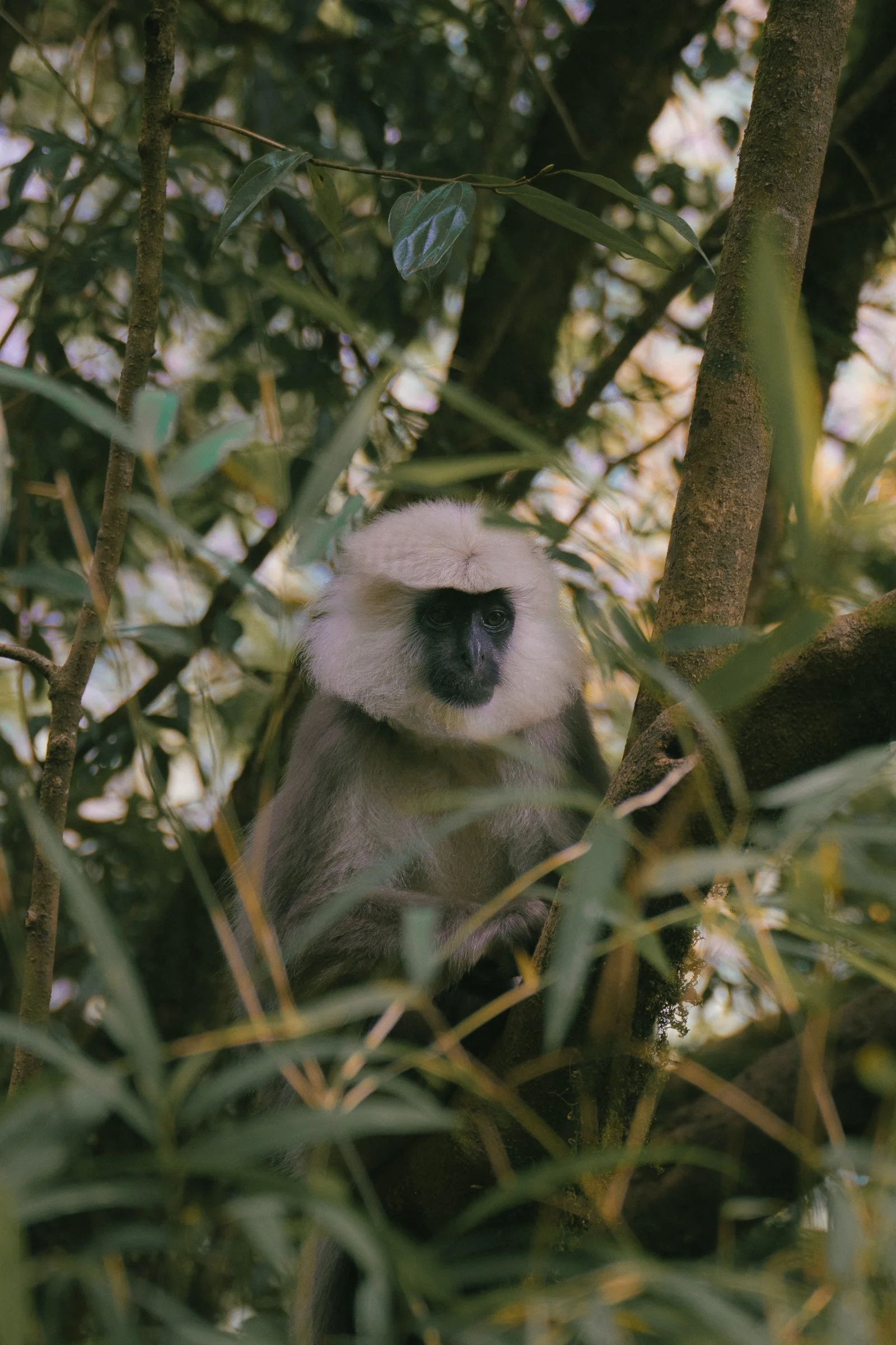
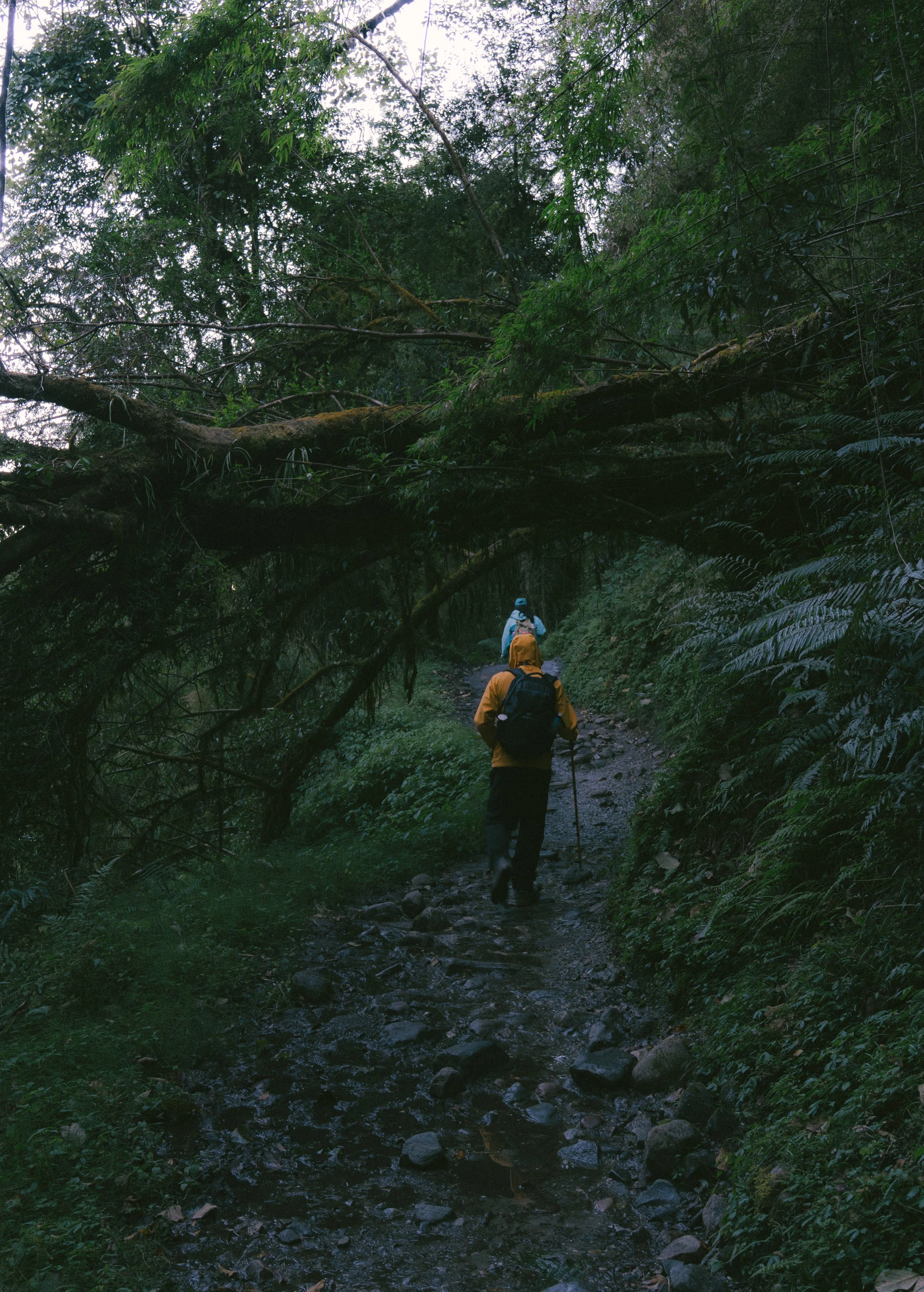
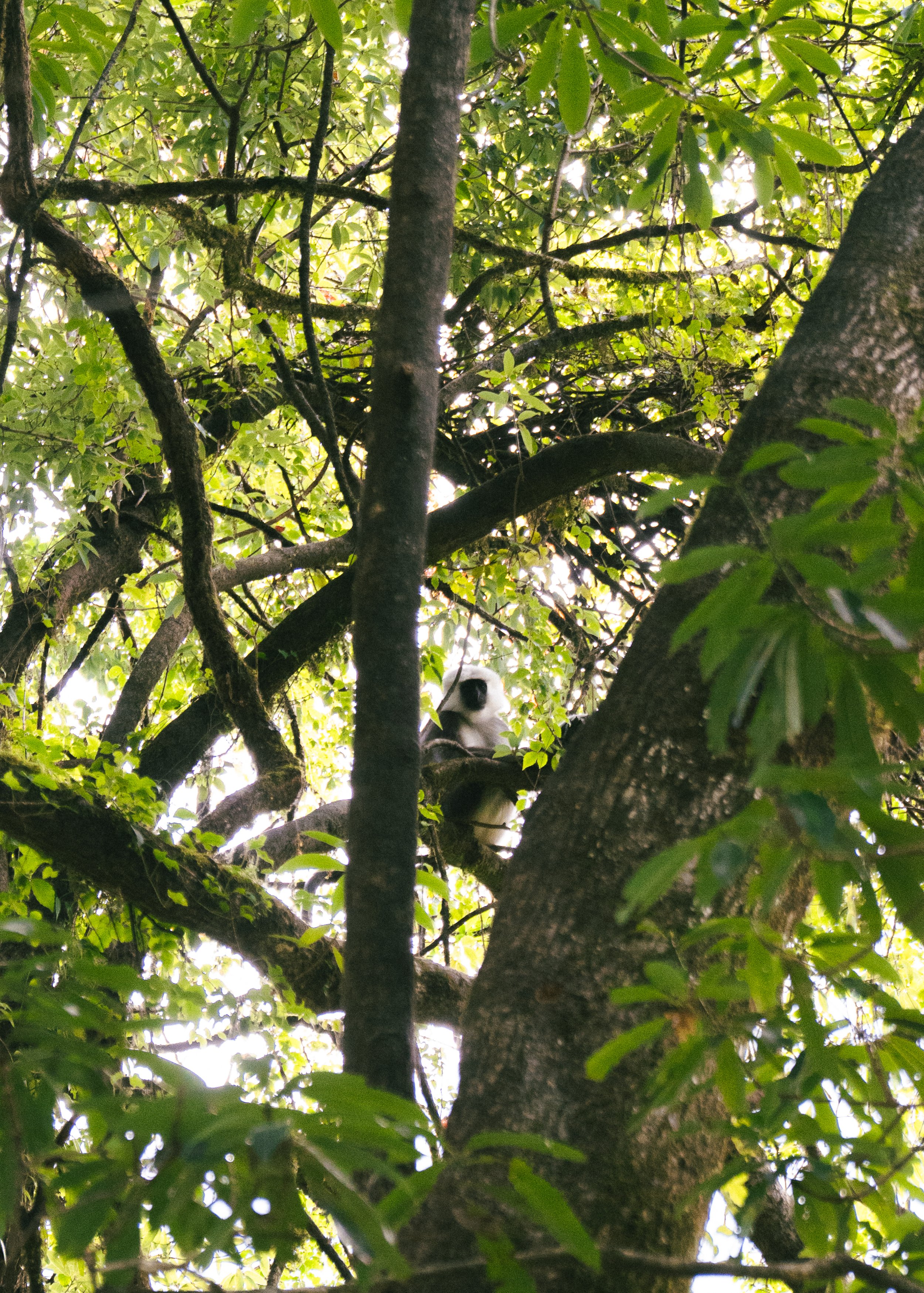
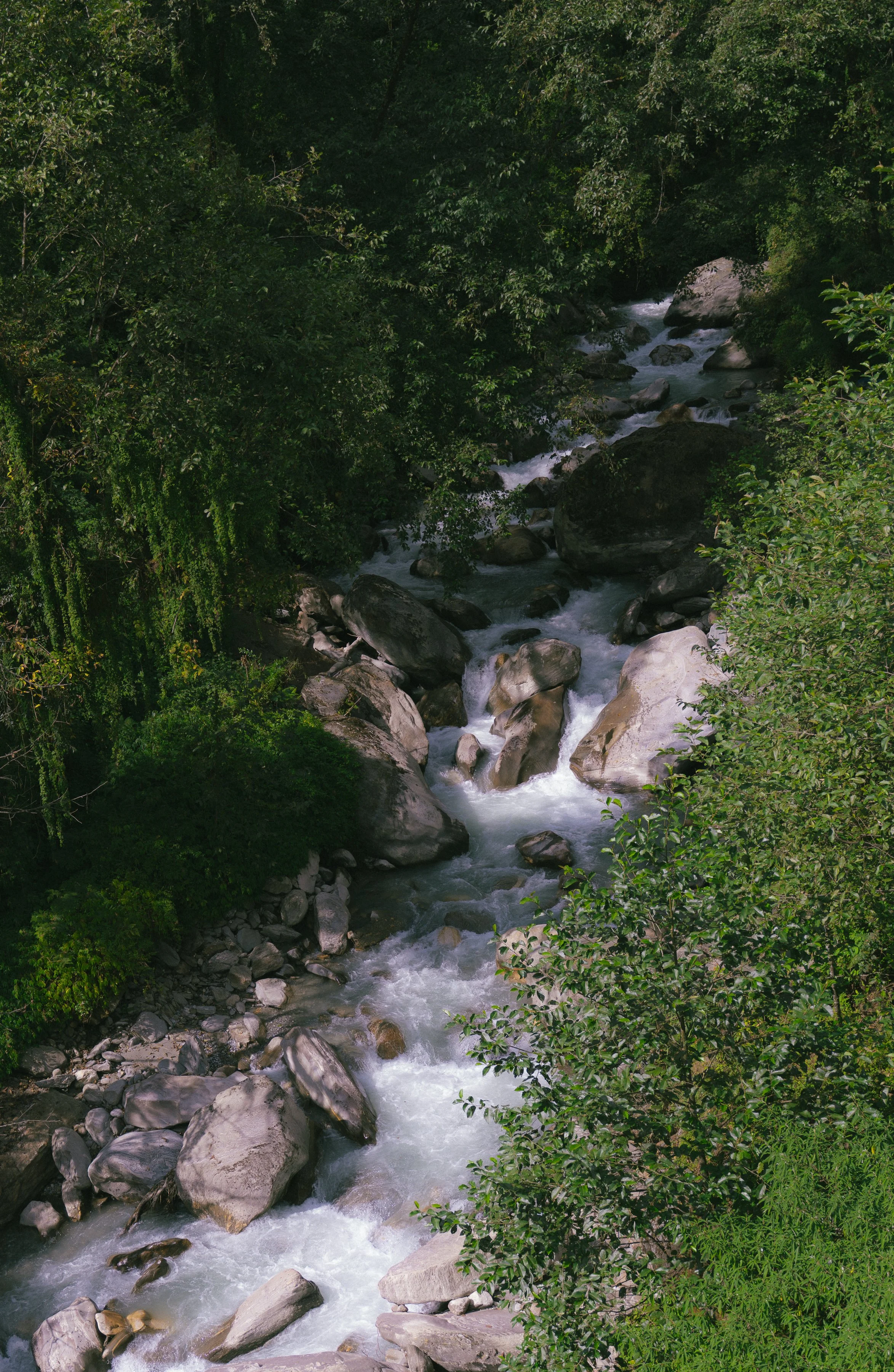
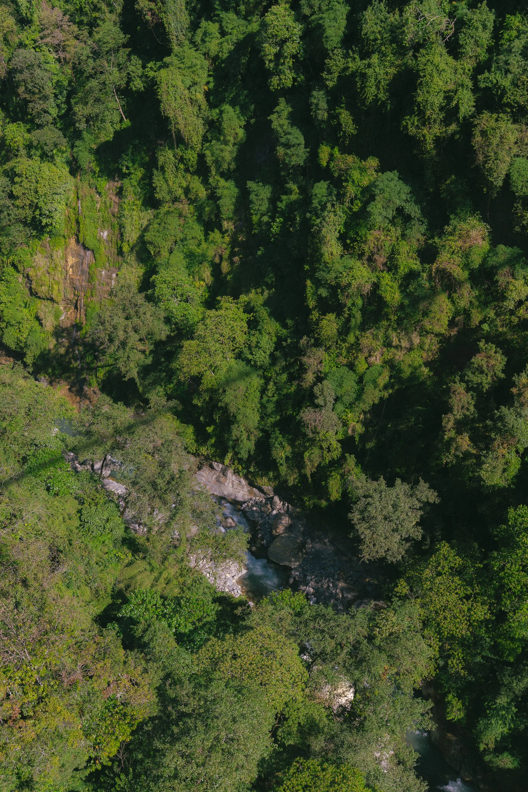
After lunch, we started a very steep climb again and entered a thick jungle section of the trail. We were greeted by langurs. They were shy and ran away shortly, but we could hear them around for the next 15 minutes into the trail. During the climb down, we were accompanied by the sounds of Modi Khola.
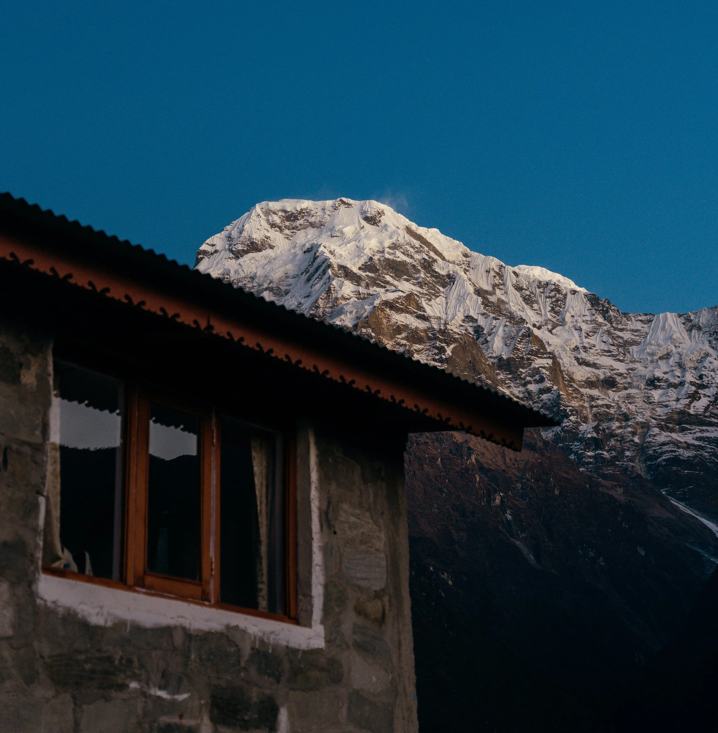
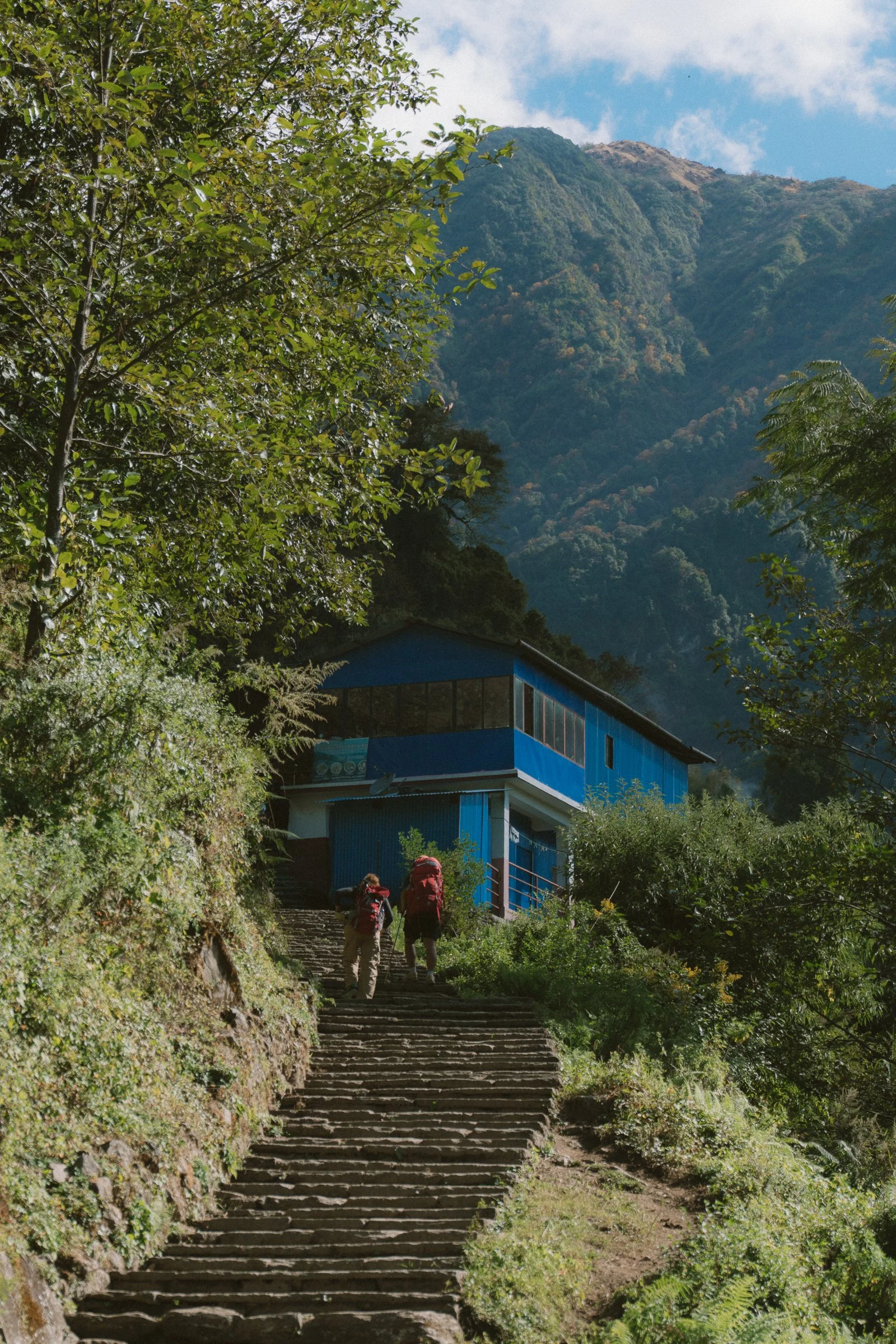
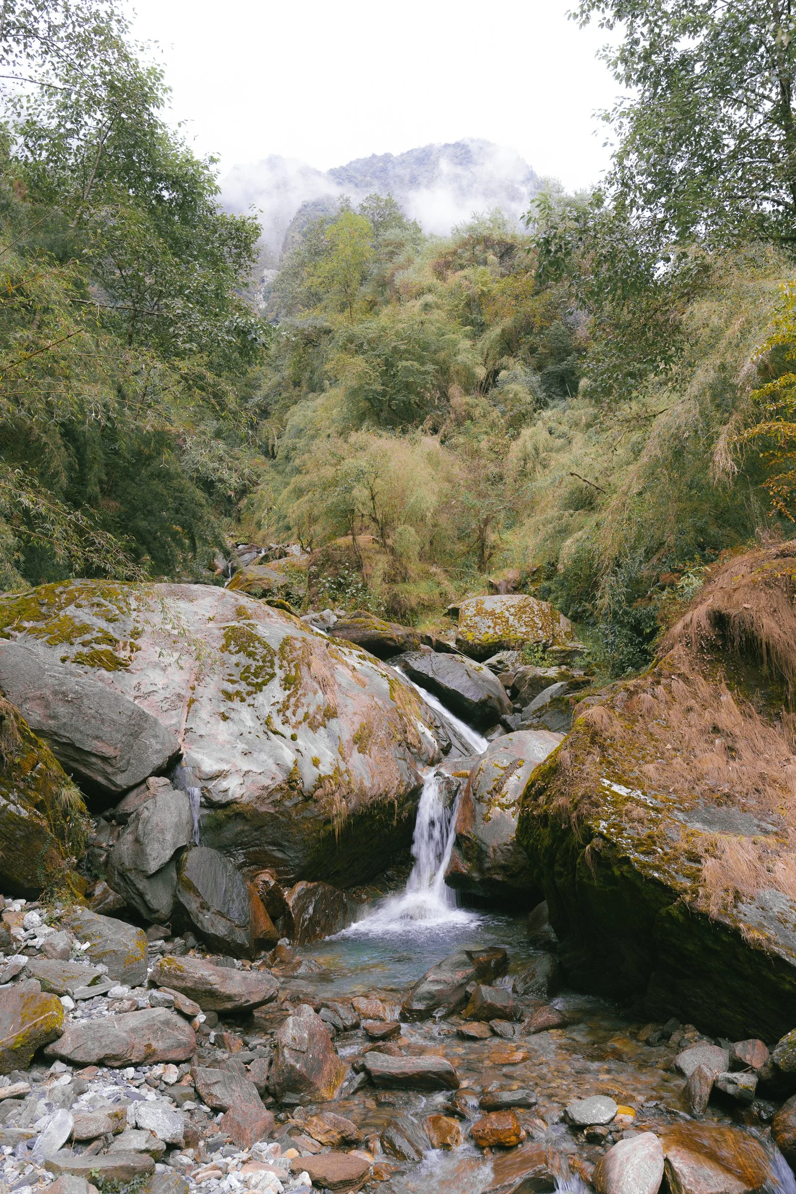
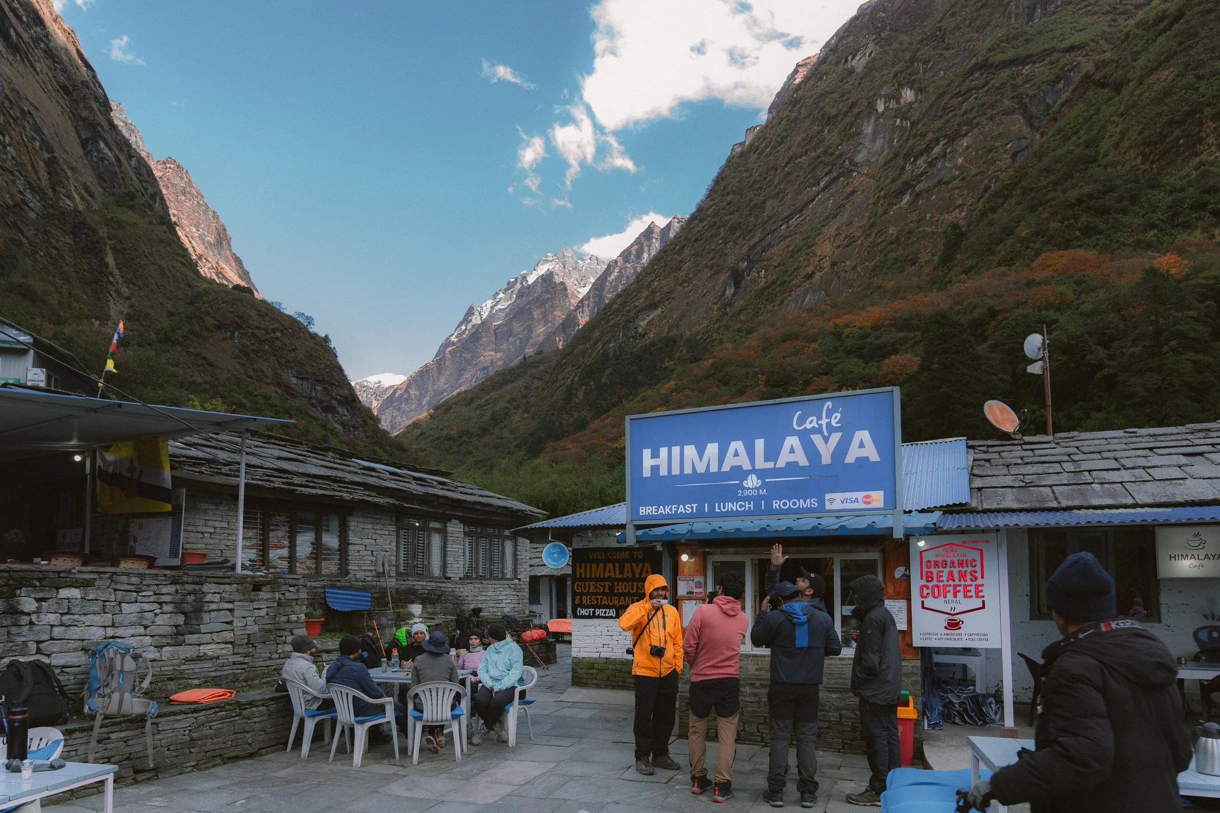
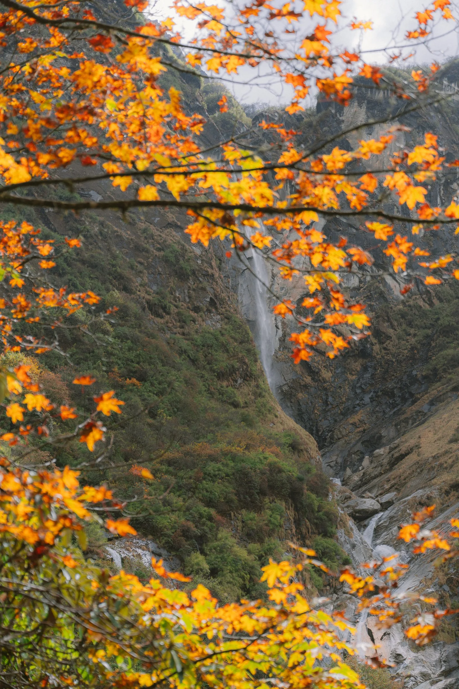
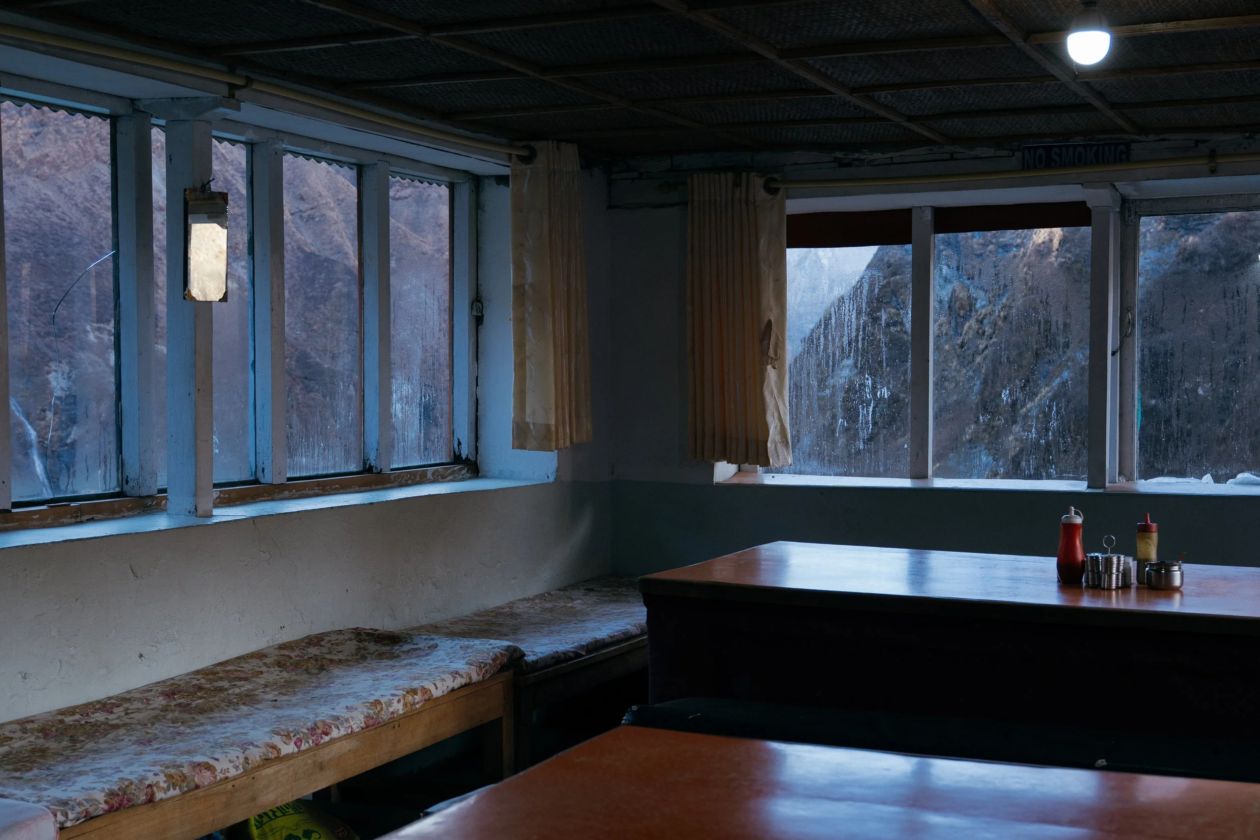
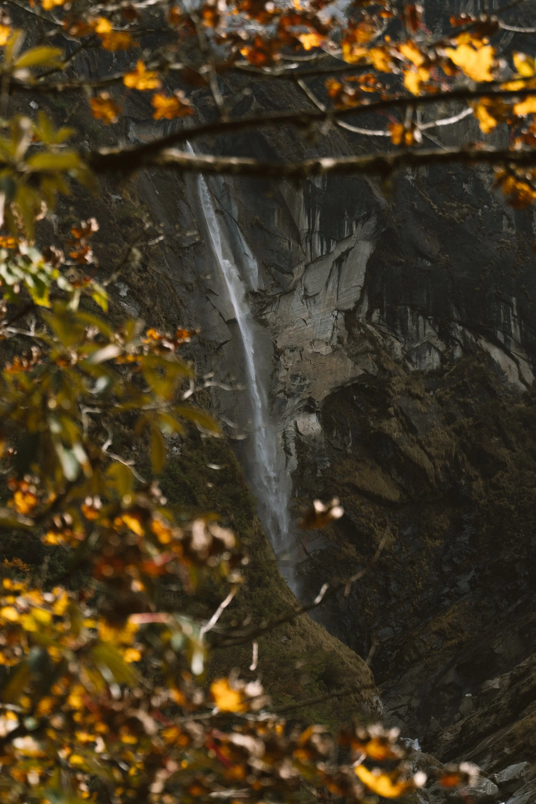
By evening, we finally reached Dovan, where you can see the lovely waterfall. The teahouse there was surprisingly nice, offering great coffee, freshly baked cakes, WiFi, and even a shower option — likely the last spot we could have showered before reaching the base camp.
5:30am
7:15am
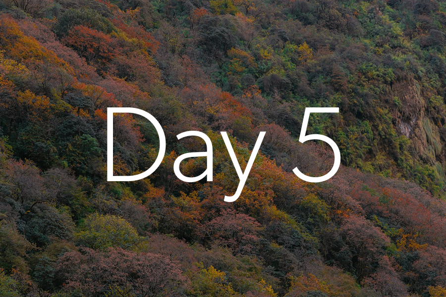
Day 5
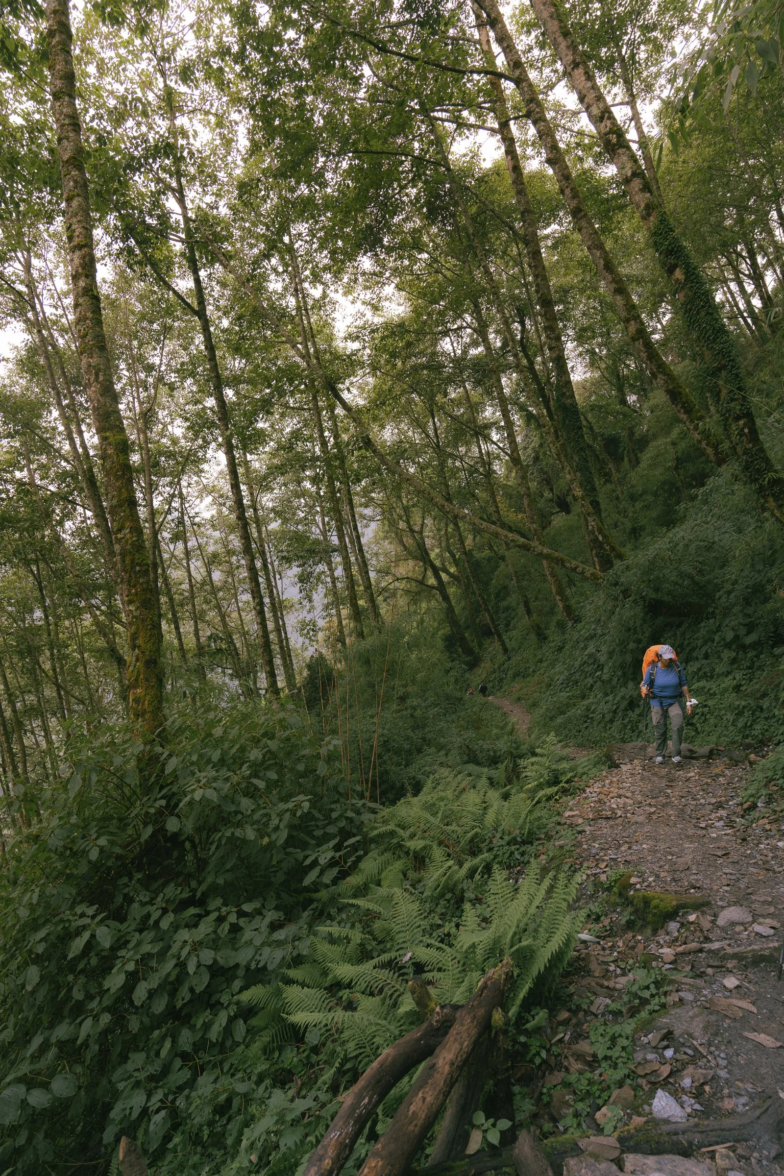
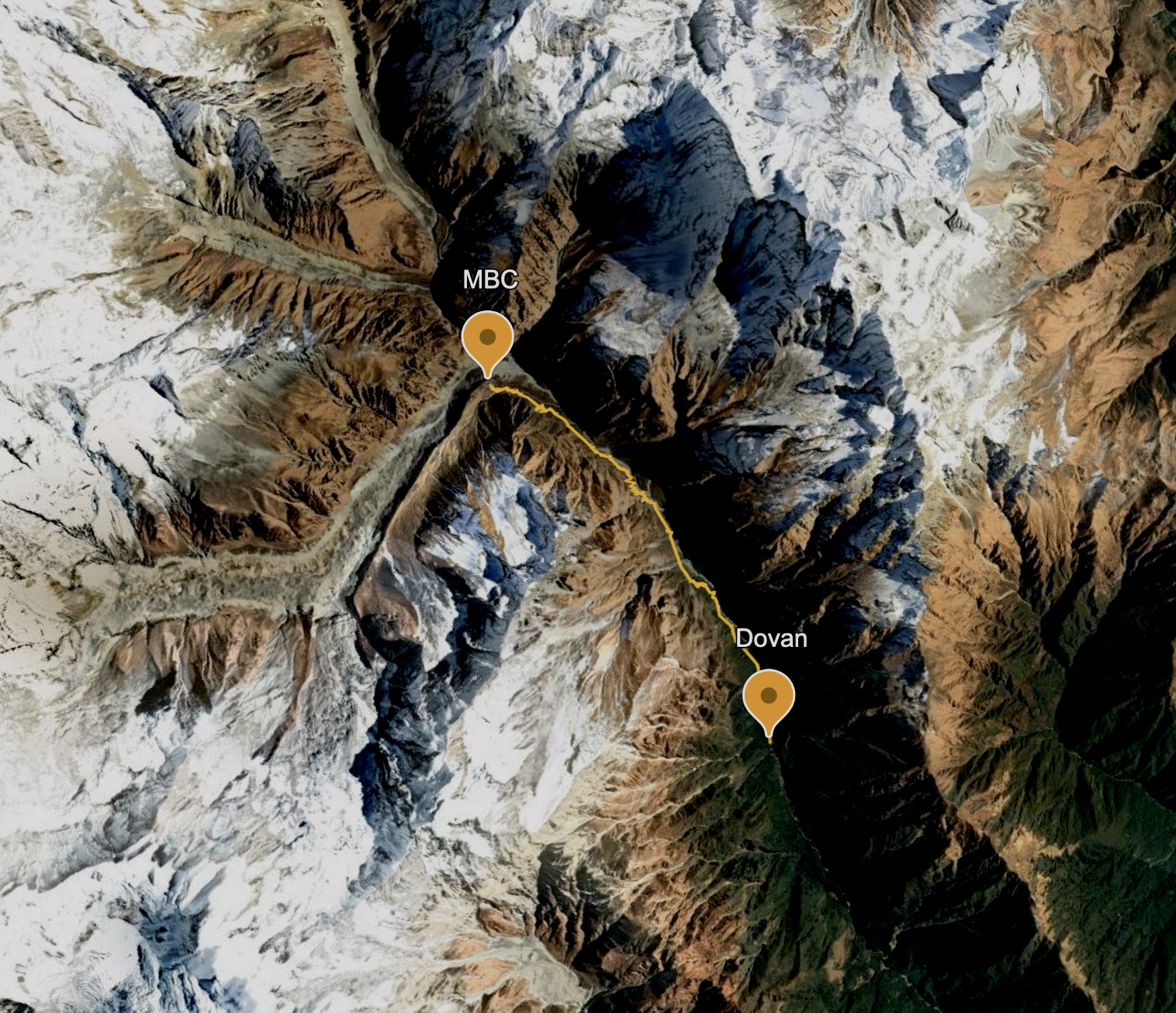
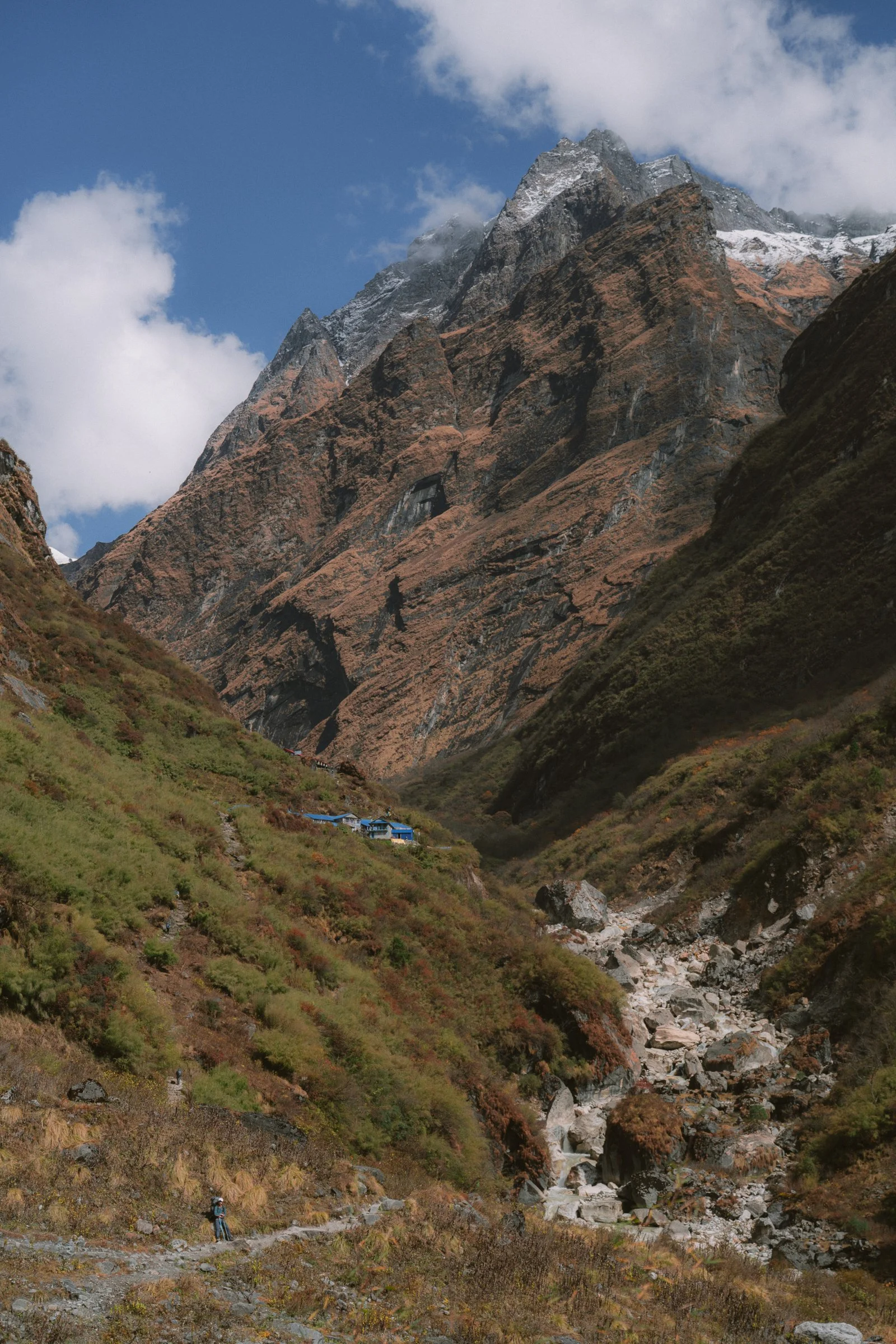
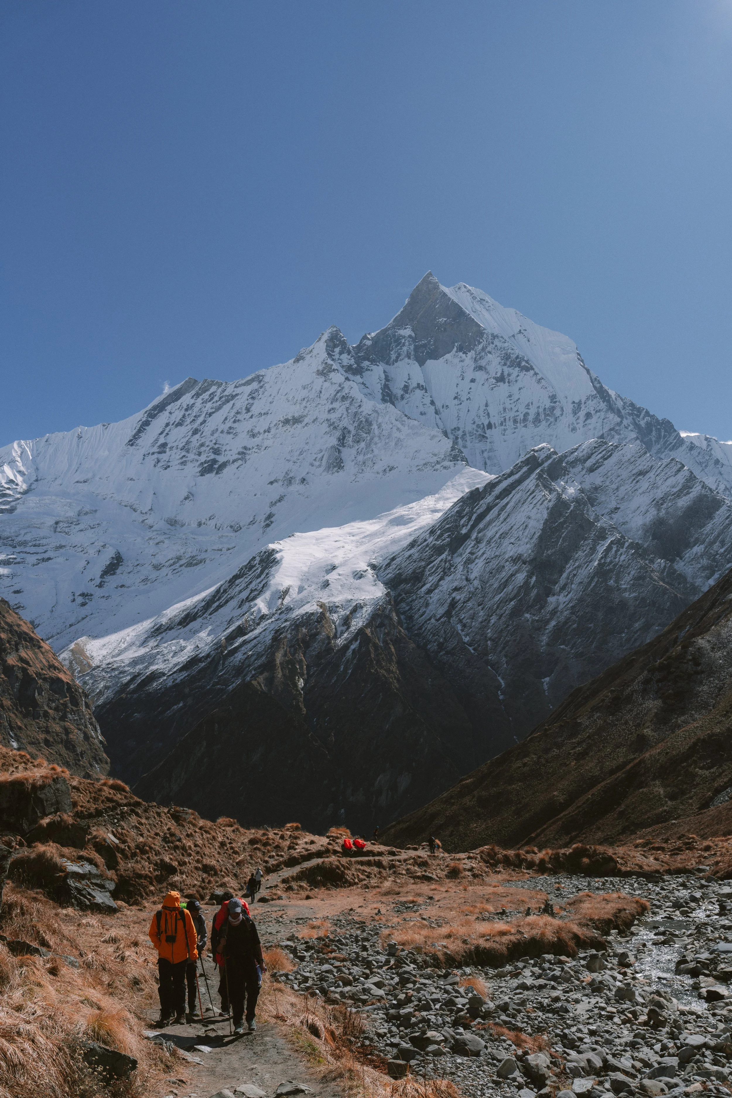
Day 5: Dovan to Machhapuchhre Base Camp — Autumn Forest
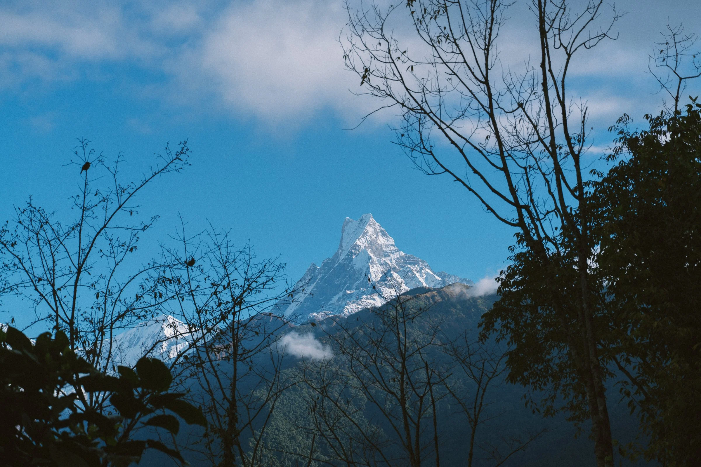
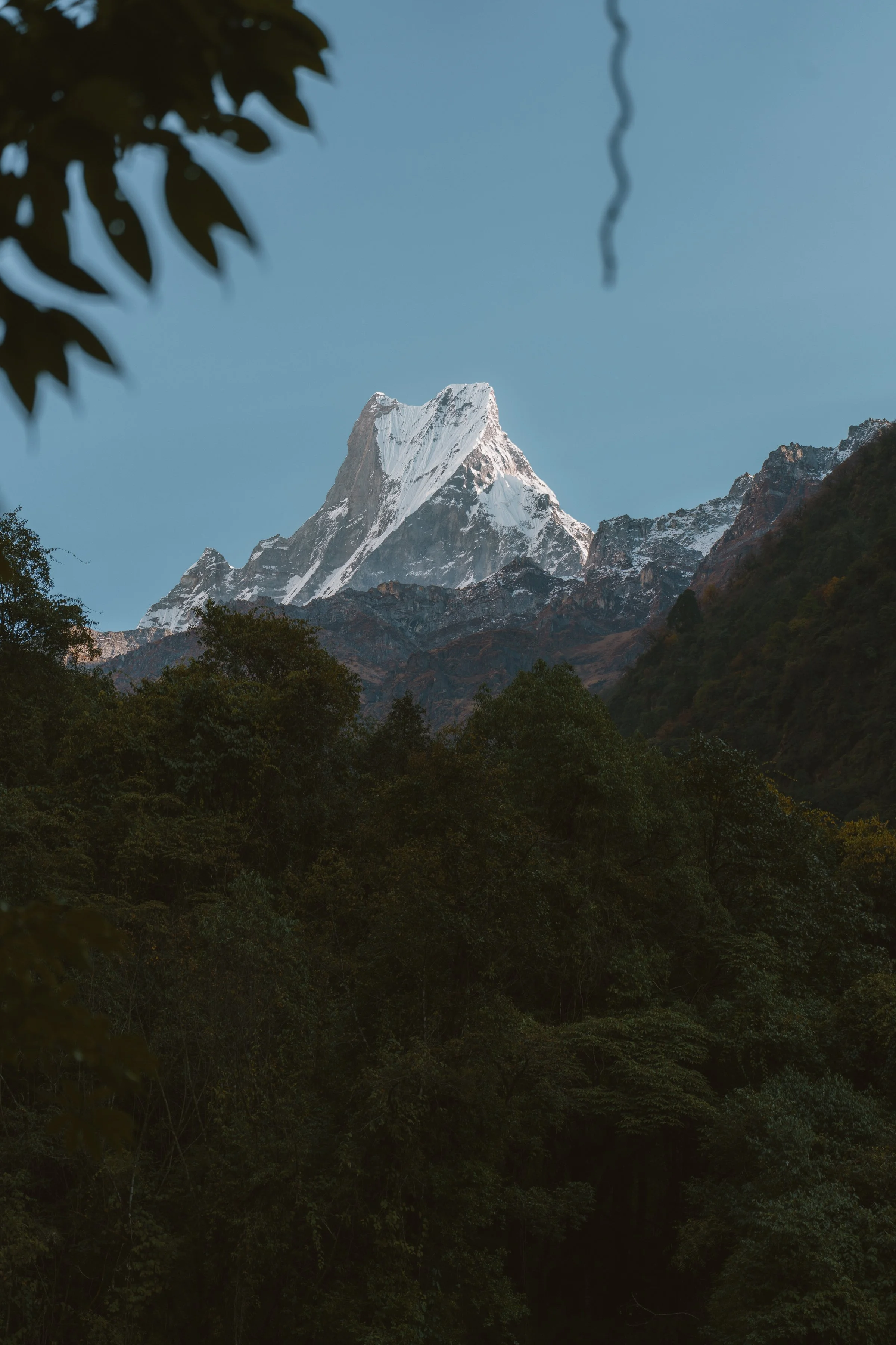
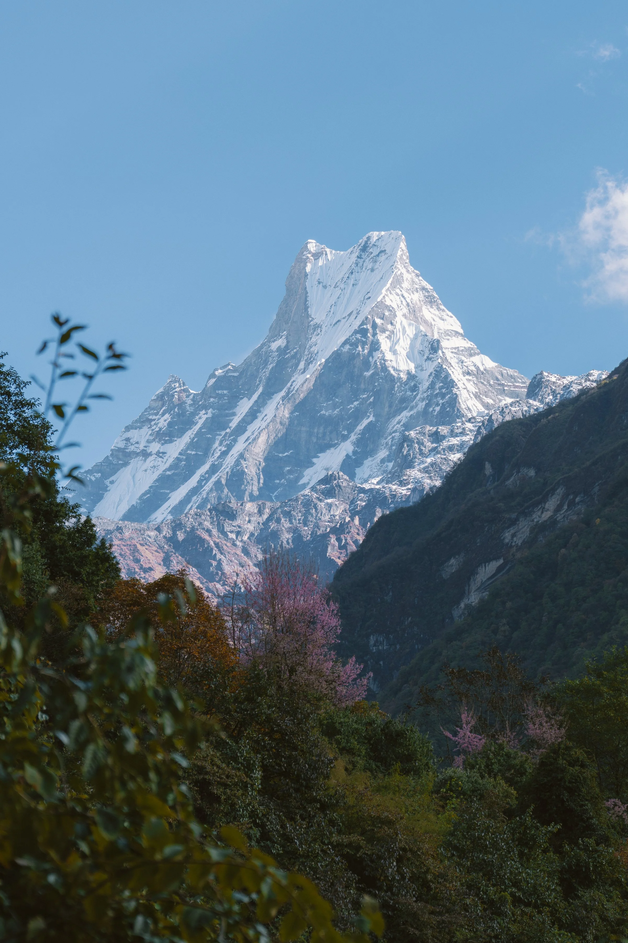
Altitude: 2,298m → 3,641mI woke up hungry. The dinner wasn’t enough, but breakfast at 7:30am means I don’t have to wait long. Dovan didn't have any views to offer apart from a close-up view of Machhapuchhre, but 70% covered by the forest up ahead. We knew the day was going to be hard, but I was definitely overconfident. Oh boy, I couldn't have been more wrong.
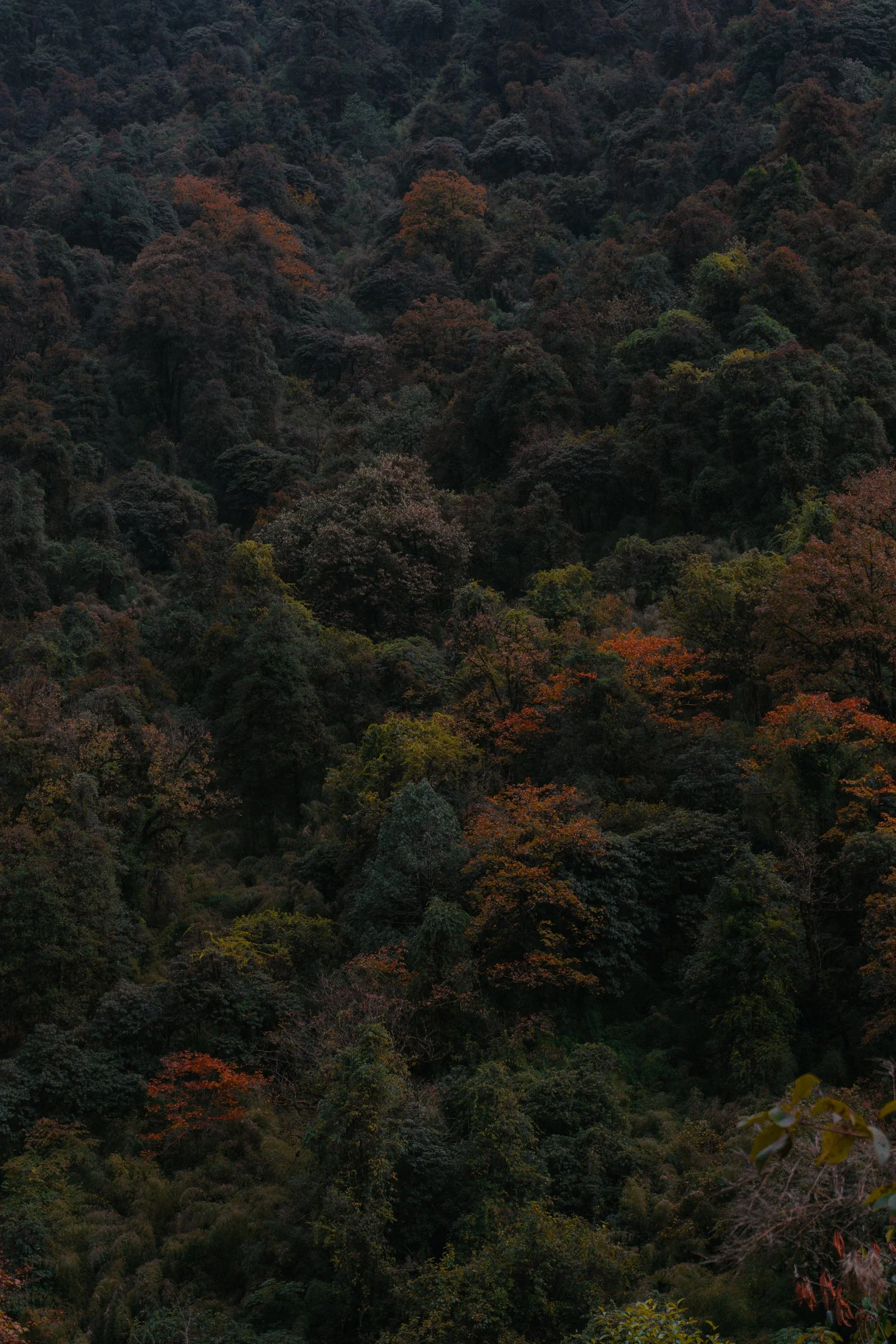
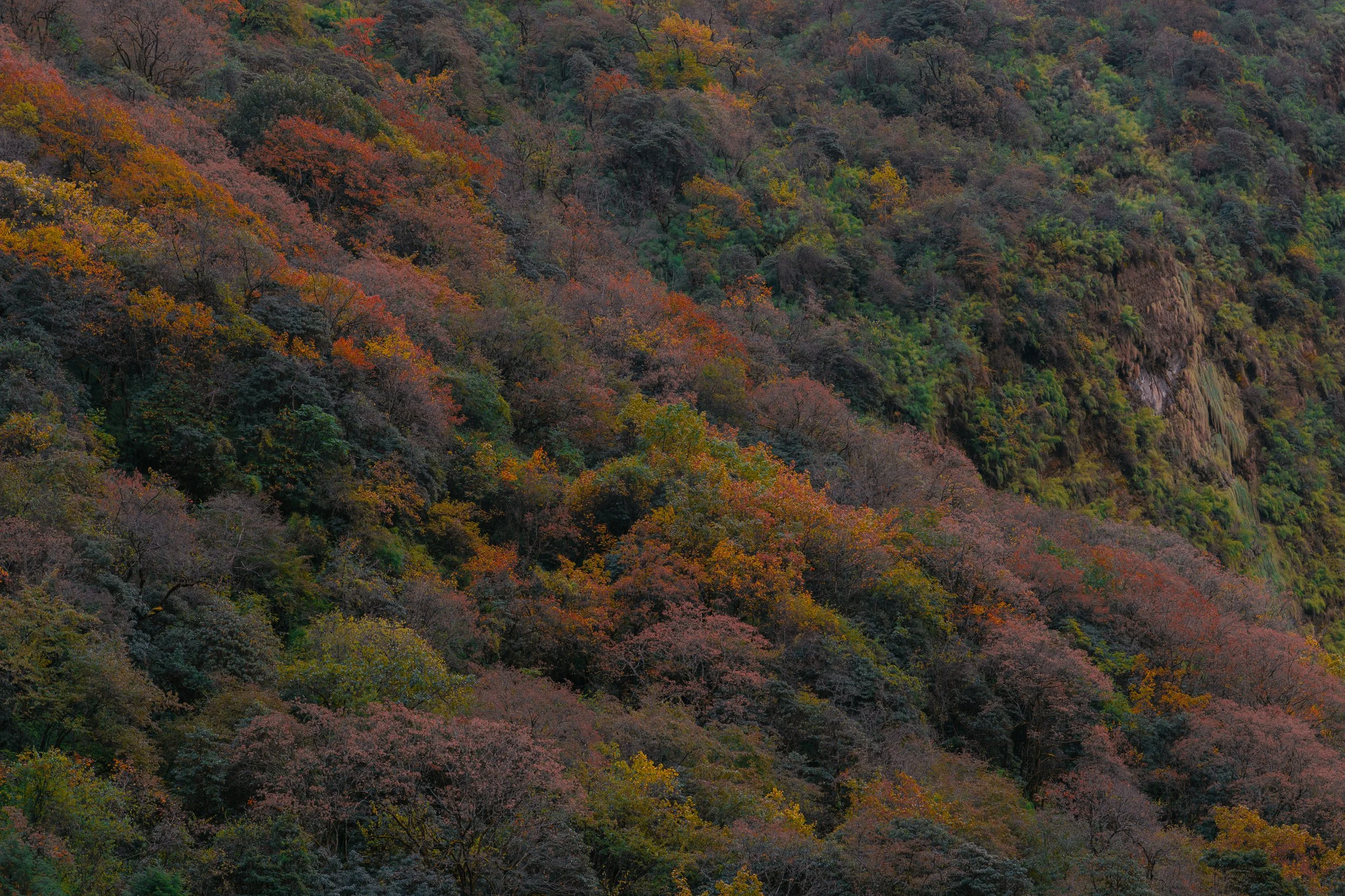
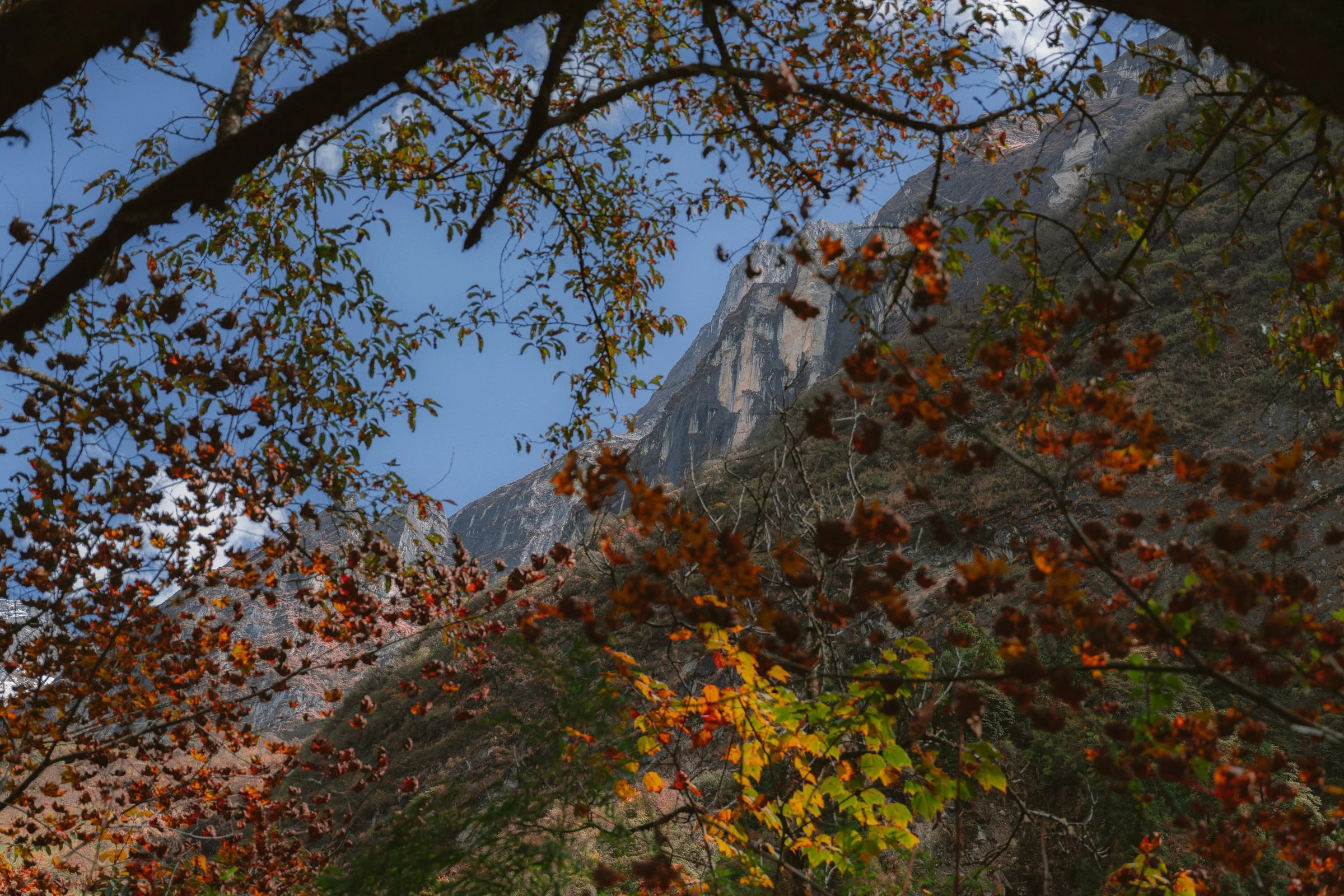
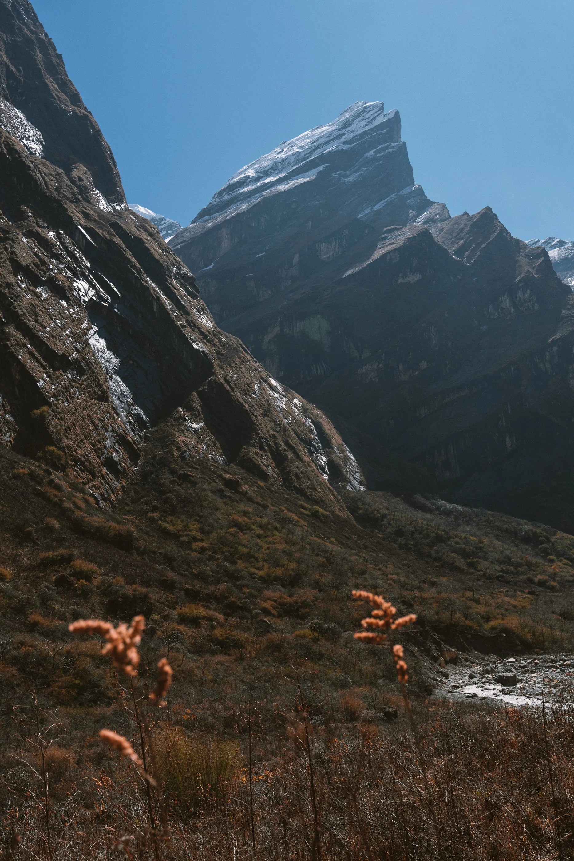
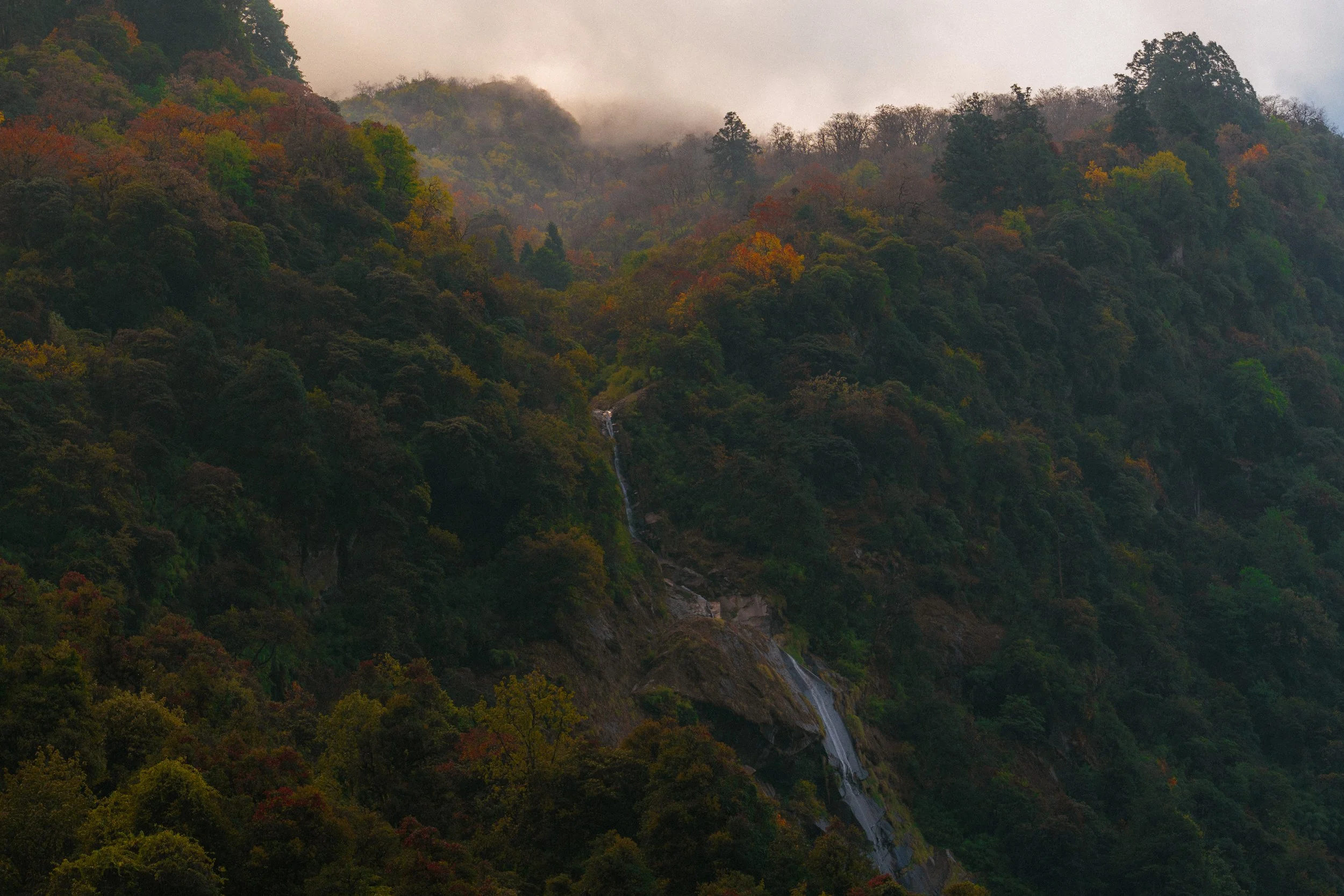
The trail started easy. We were going through the jungle and reached a beautiful shrine right next to the waterfalls. After that, I started to see the vegetation around the trail change, and suddenly I felt like I'd entered an autumn forest.
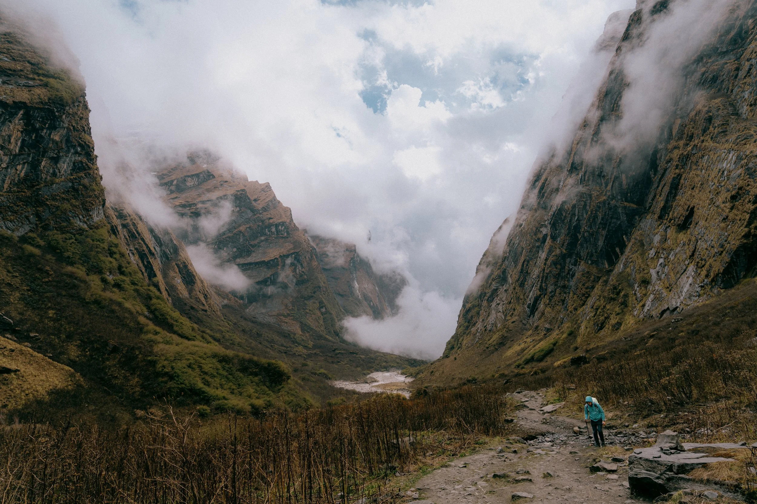
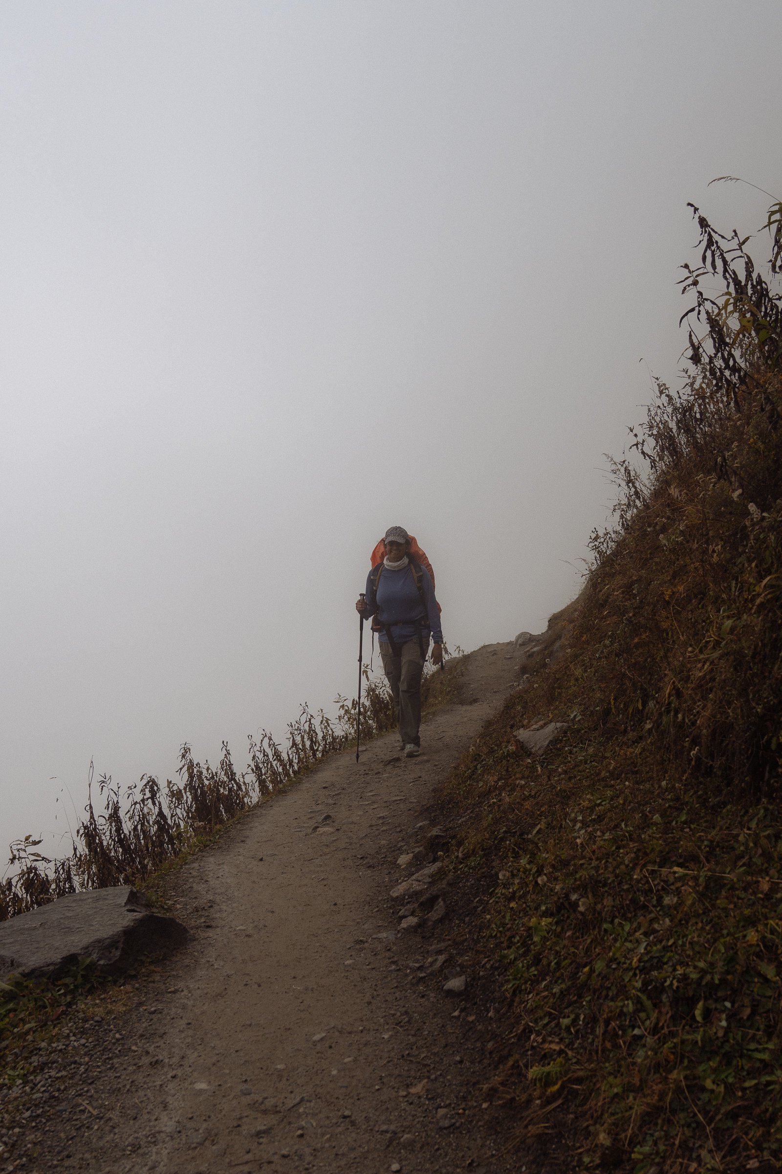
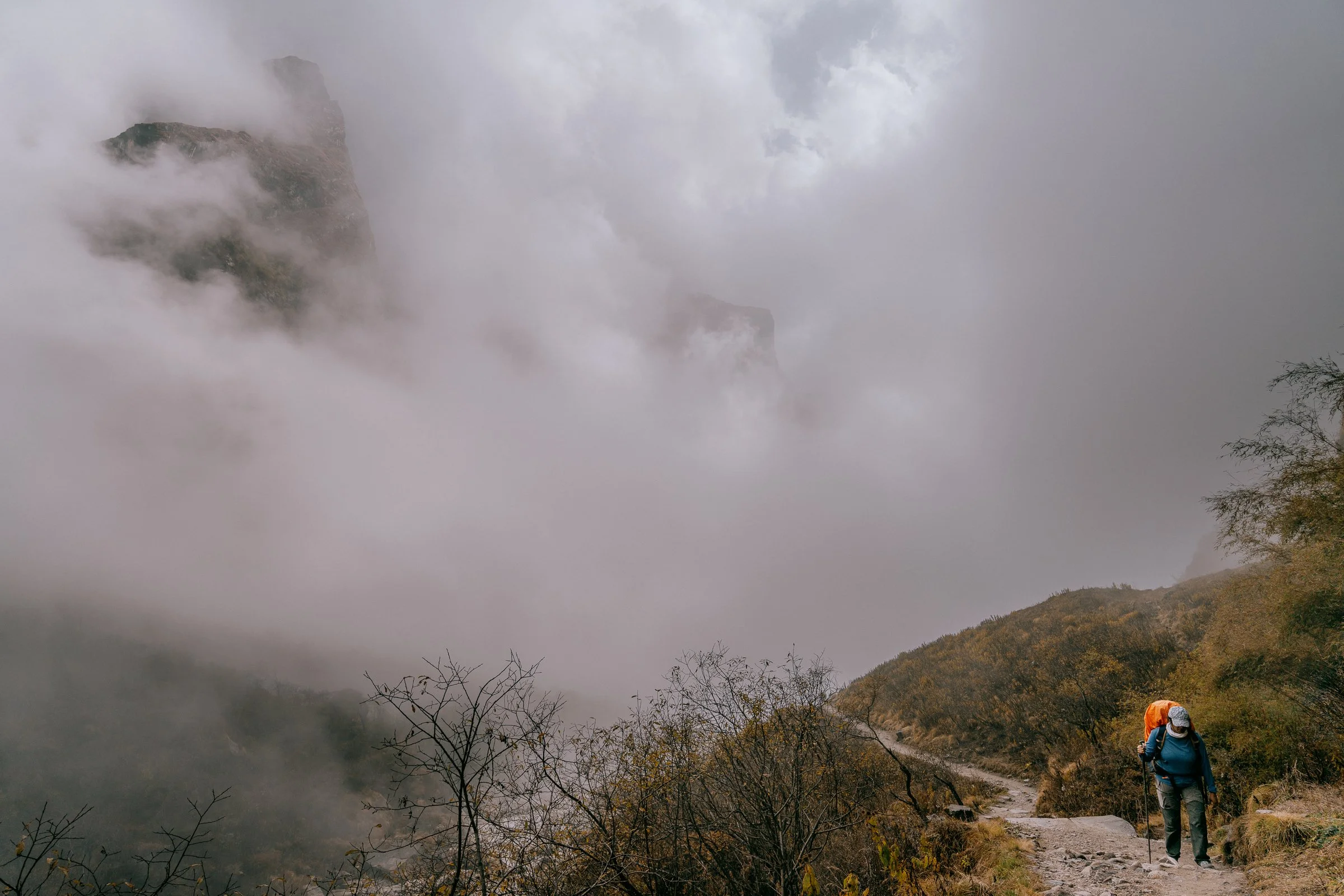
Until lunch it was a pretty good walk up, nothing too crazy. But then the altitude started catching up. The weather too started changing drastically and it was no longer sunny behind us. Within a few hours we were climbing through fog and you could feel the light drizzle.
As we gained altitude, I was starting to get more tired, more out of breath. It was a nice excuse for me to stop, catch my breath, and take a few photos. That's probably the reason I ended up with so many photos on this day.
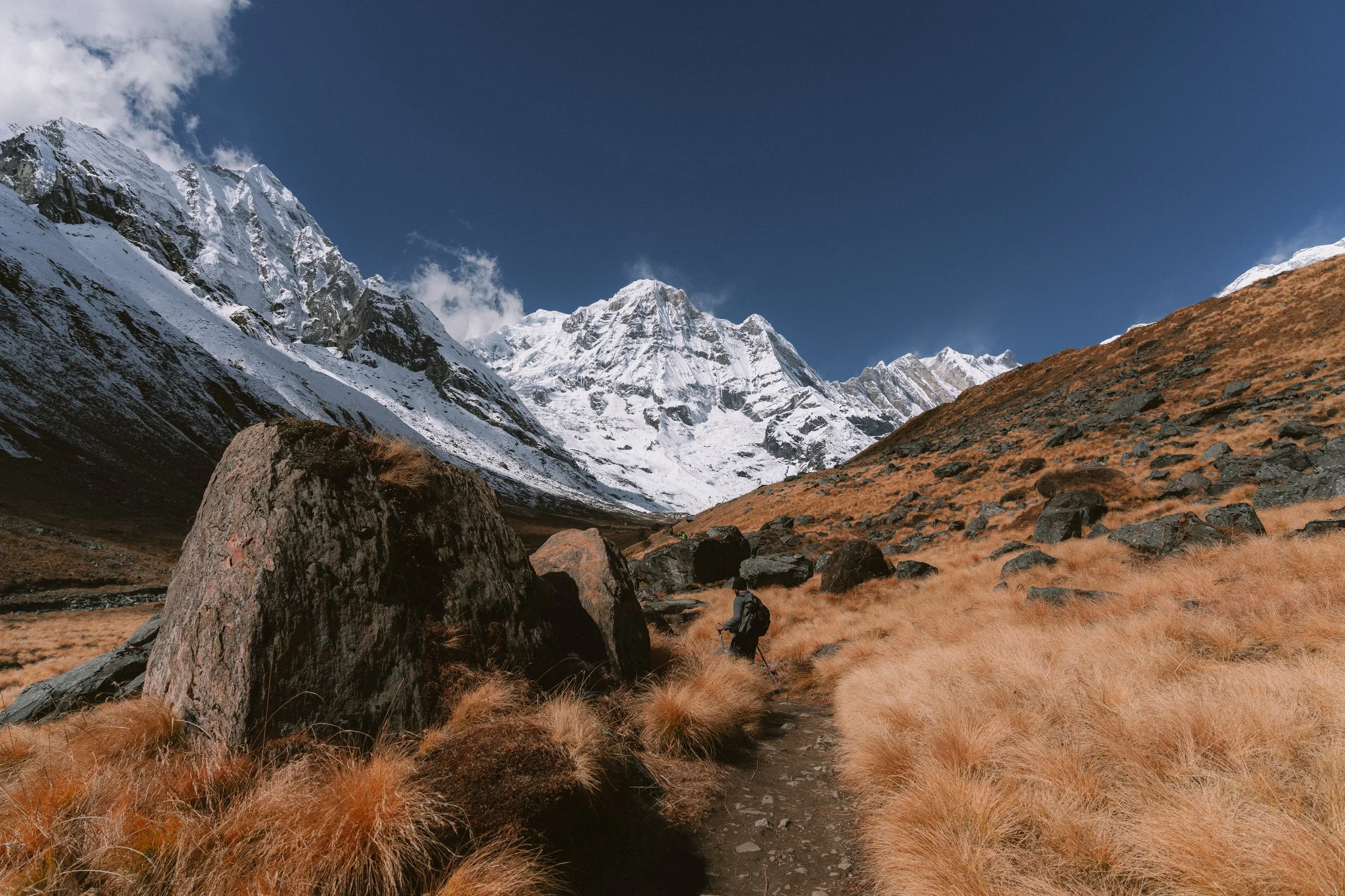
After what felt like multiple long hours of walking after lunch, we finally saw the base camp in our sight and walked towards it. The final climb was even harder and I started stopping every 7 steps instead of every 30 steps like Day 3 and Day 4.
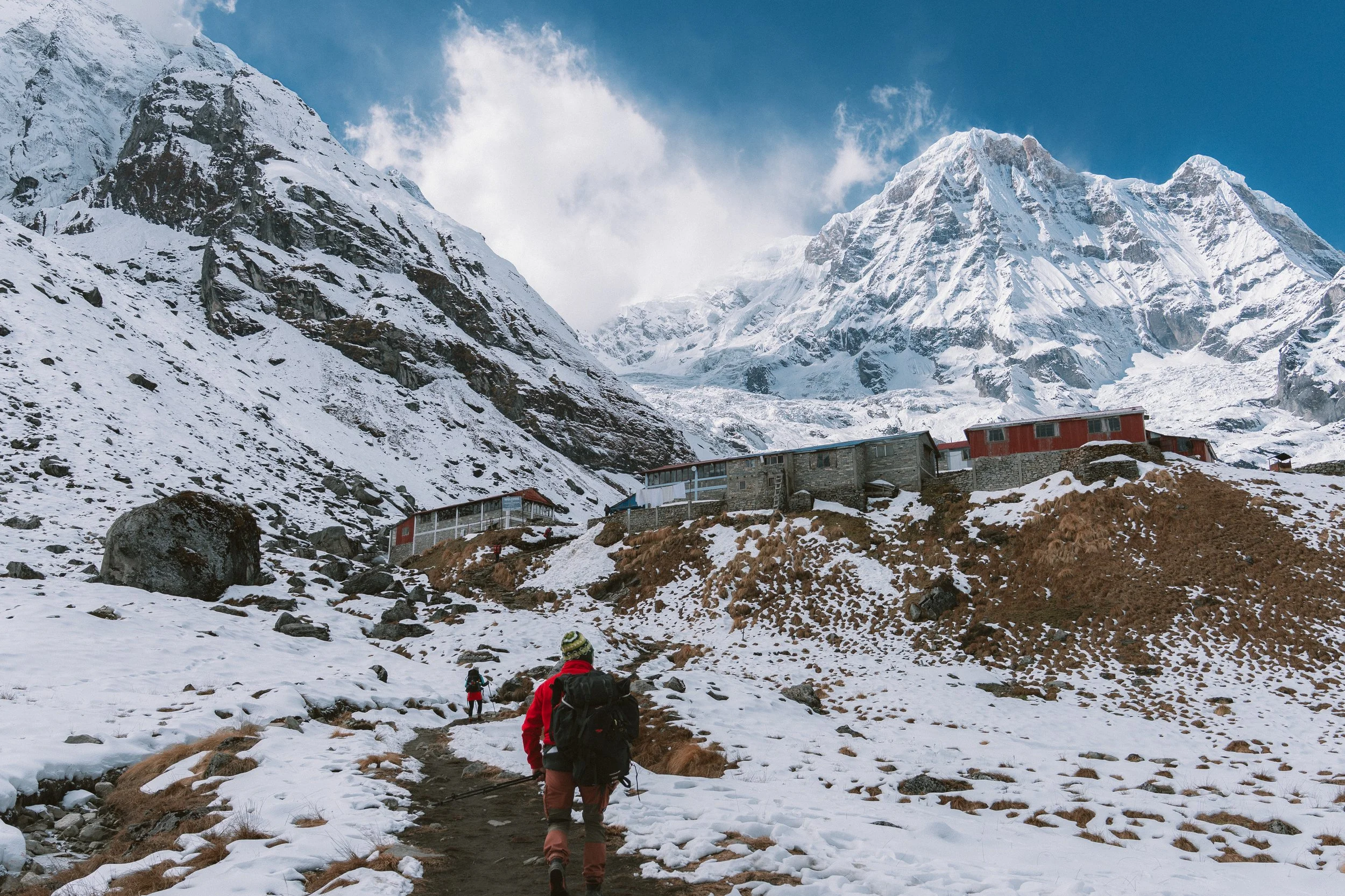
We finally stopped at a beautiful view of the Machhapuchhre Base Camp, but shortly I was told that's not our base camp — we needed to continue walking up. Another 20 minutes (which felt like 2 hours), we finally reached our tea house where we were staying that night.
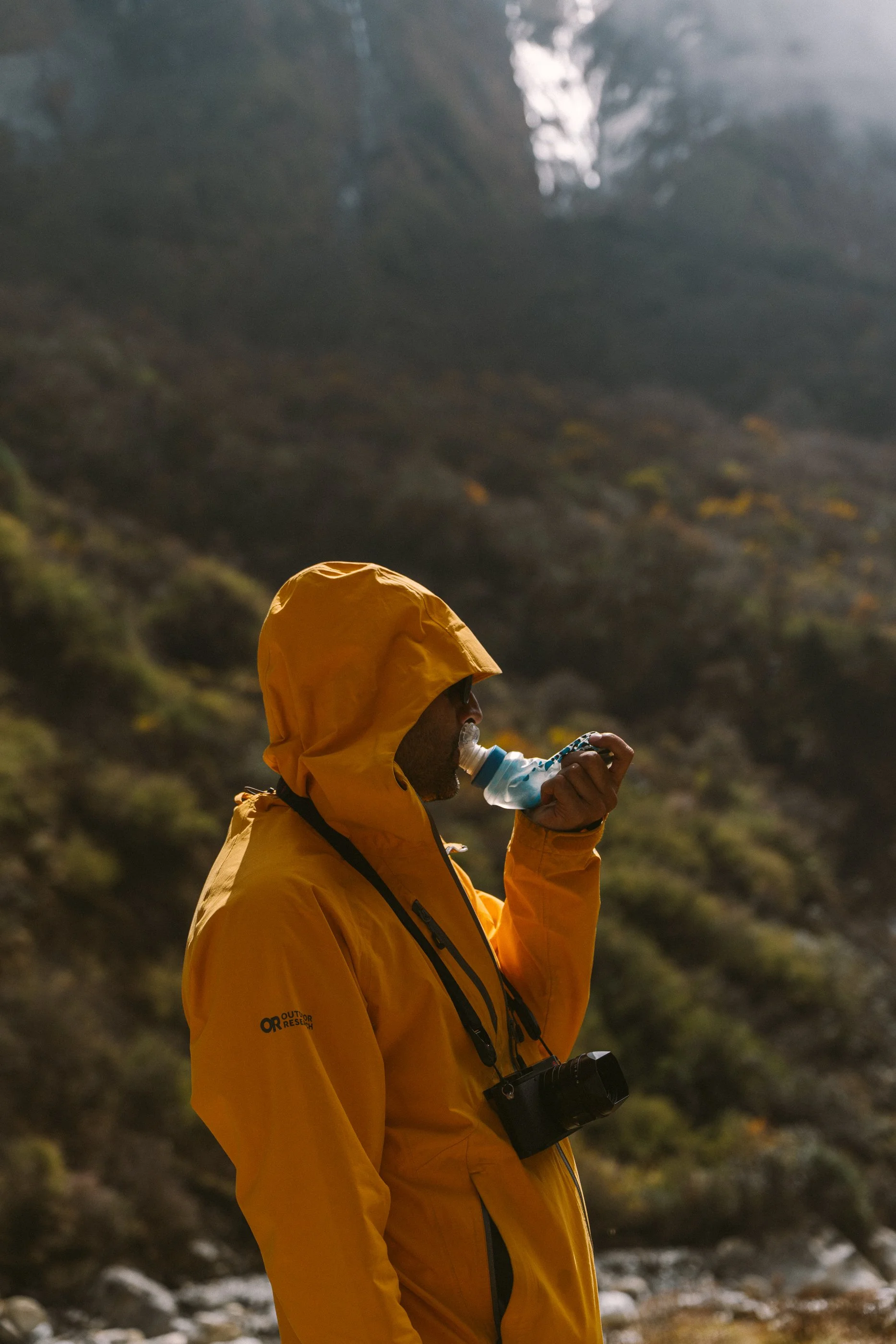
I had been feeling sick since morning, but I pushed that away for the whole day. I started to get a bit of a headache as I was climbing up. It didn't immediately click, but this was the start of my altitude sickness.
By evening, it hit me hard. I was walking up and down inside the tea house, wearing three layers trying to feel warm, trying to reduce the nauseous feeling. My head had been pounding since 3pm and it had only gotten worse. I checked my blood oxygen multiple times and every time it showed a number lower than previously recorded — the lowest being 68%.
Our guide Subodh helped me that night, using a pulse oximeter to check my oxygen levels. He really encouraged me to have some soup, but I couldn't have much. Eventually I sat down, and things got worse before they got better. Meg helped me calm down and get some rest, nudged me to continuously hydrate. The only way the body can get oxygen at these altitudes naturally.

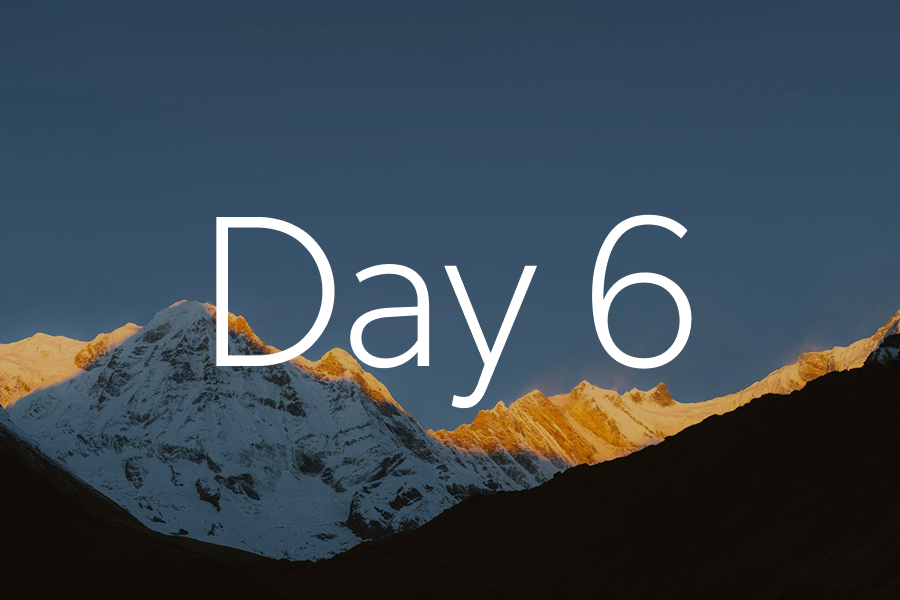
Day 6
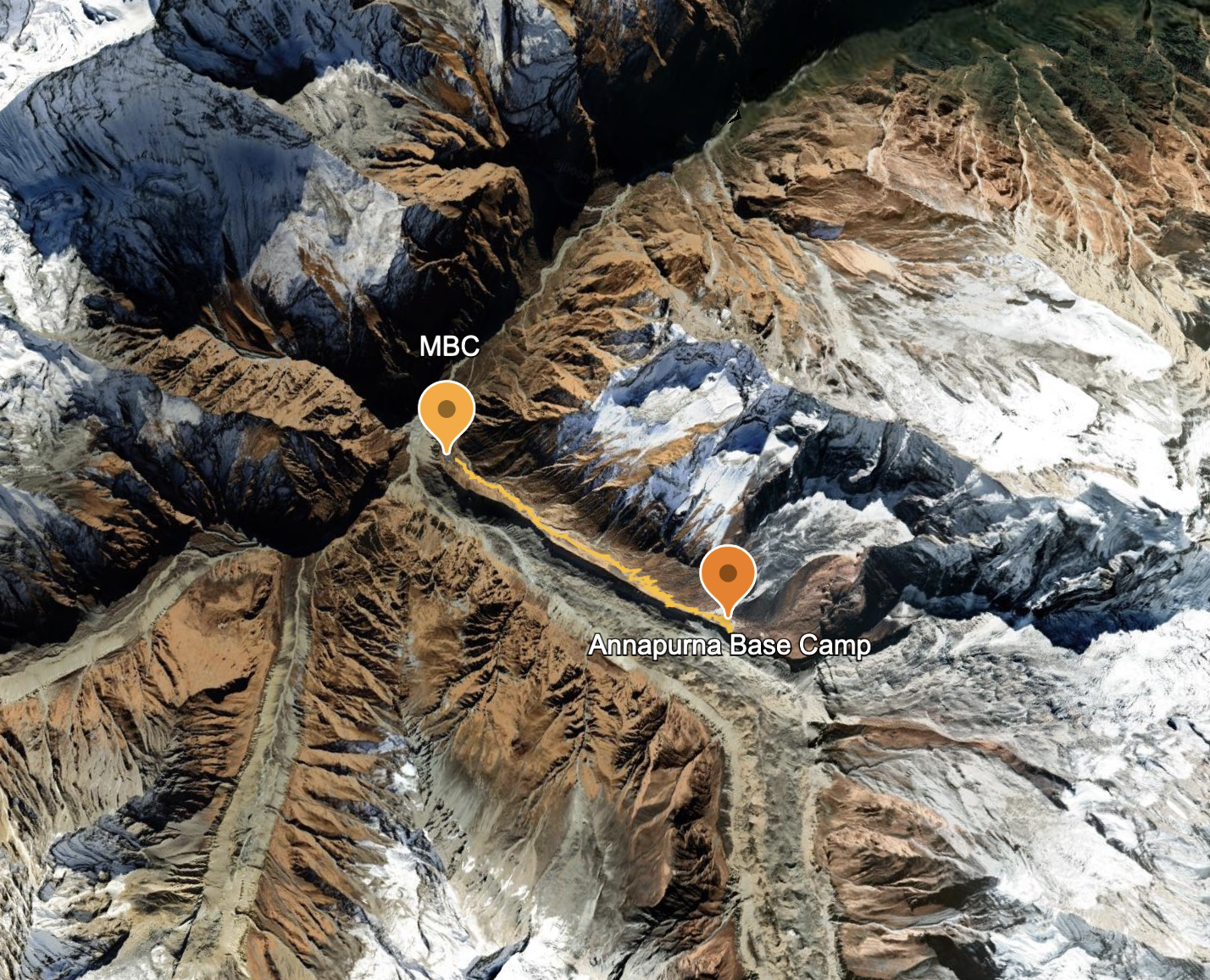
Day 6: MBC to Annapurna Base Camp
Altitude: 3,641m → 4,136mAfter a bad night of altitude sickness, I woke up early and there was no headache. I was feeling weak, tired, but my mind was pushing me to get out and see the sunrise.
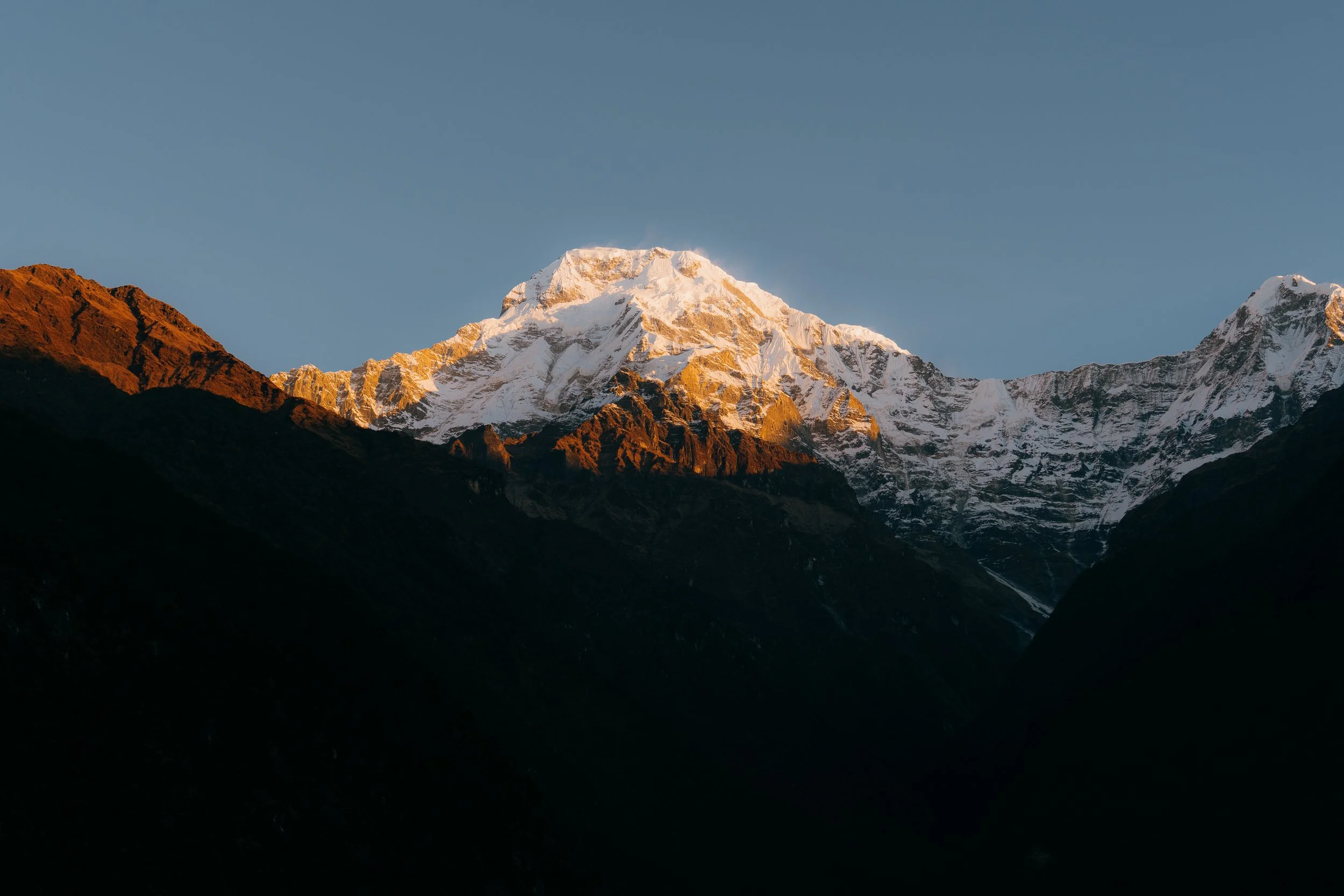
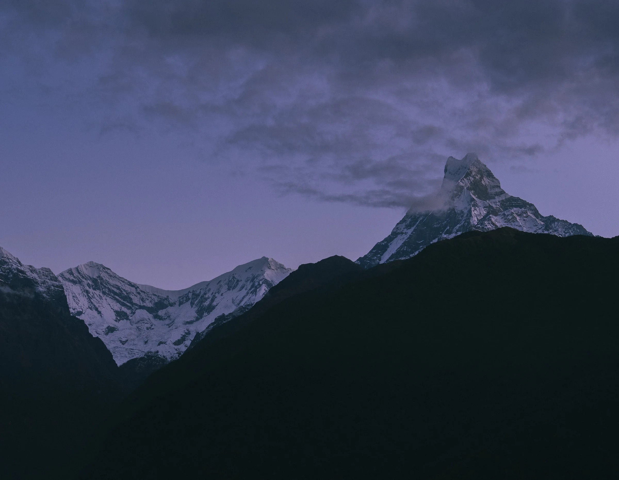
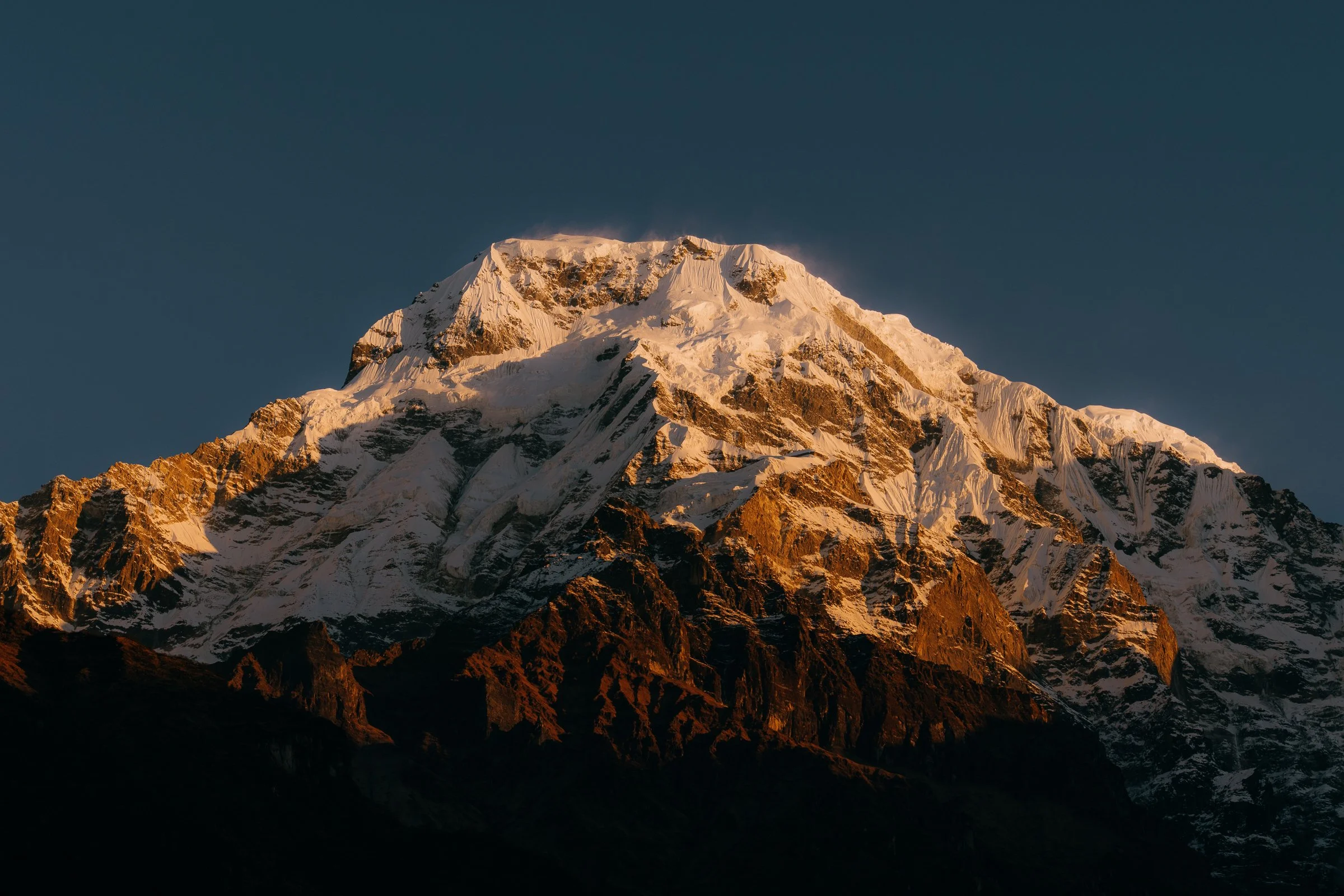
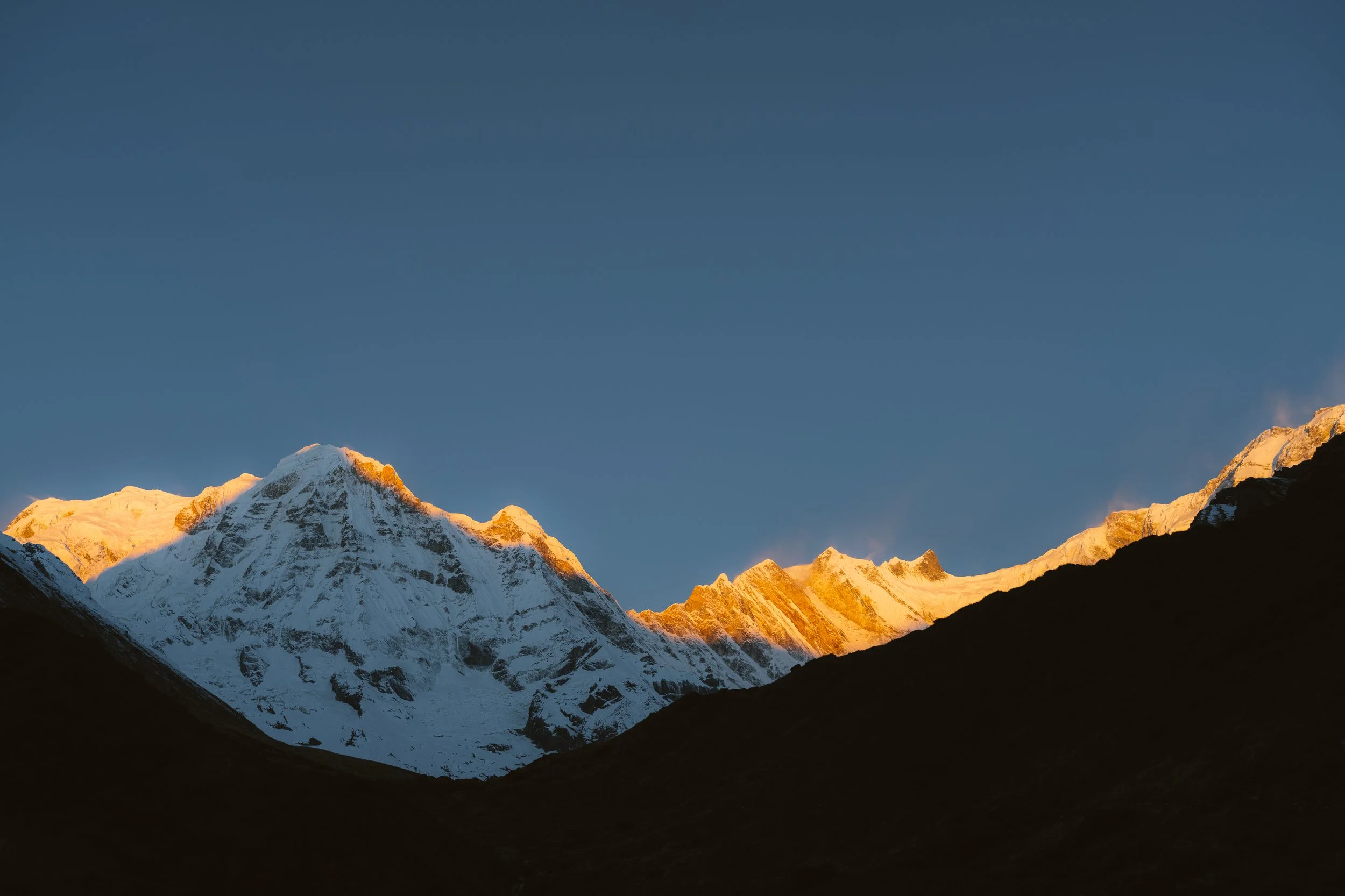
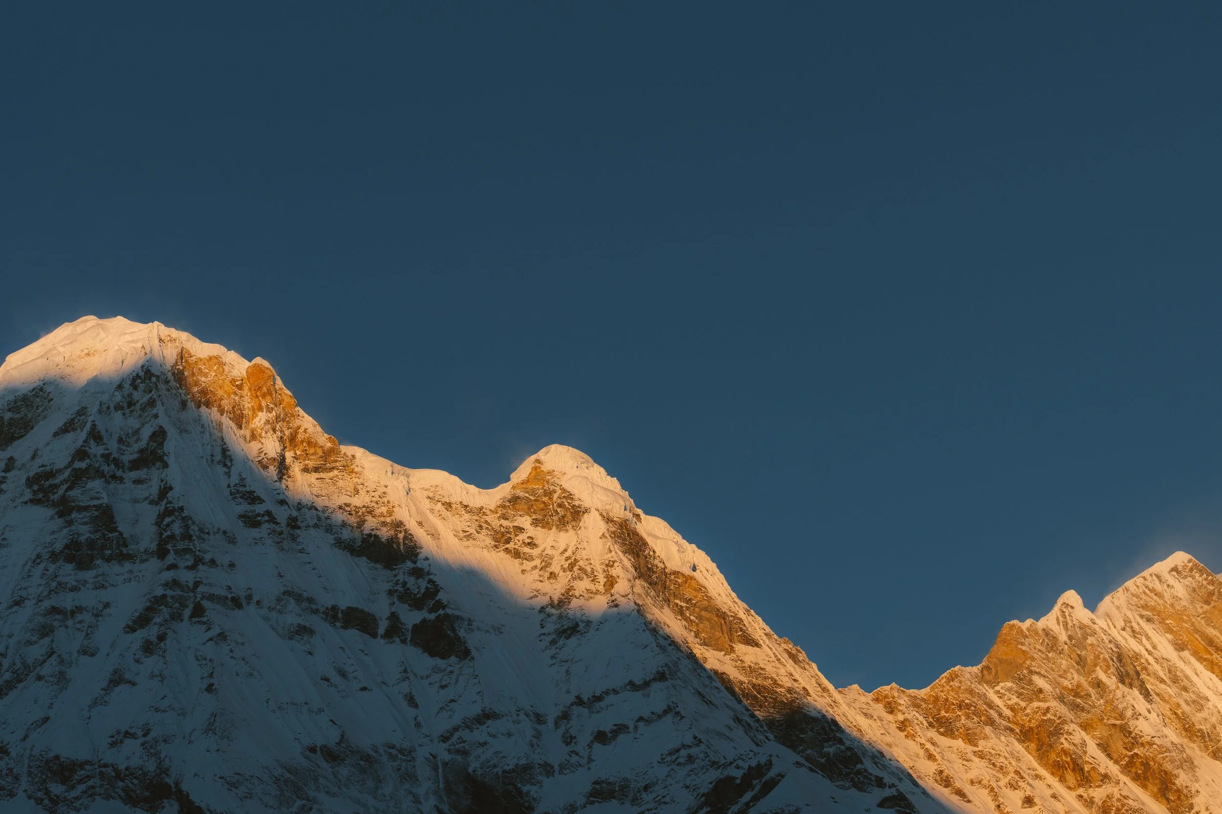
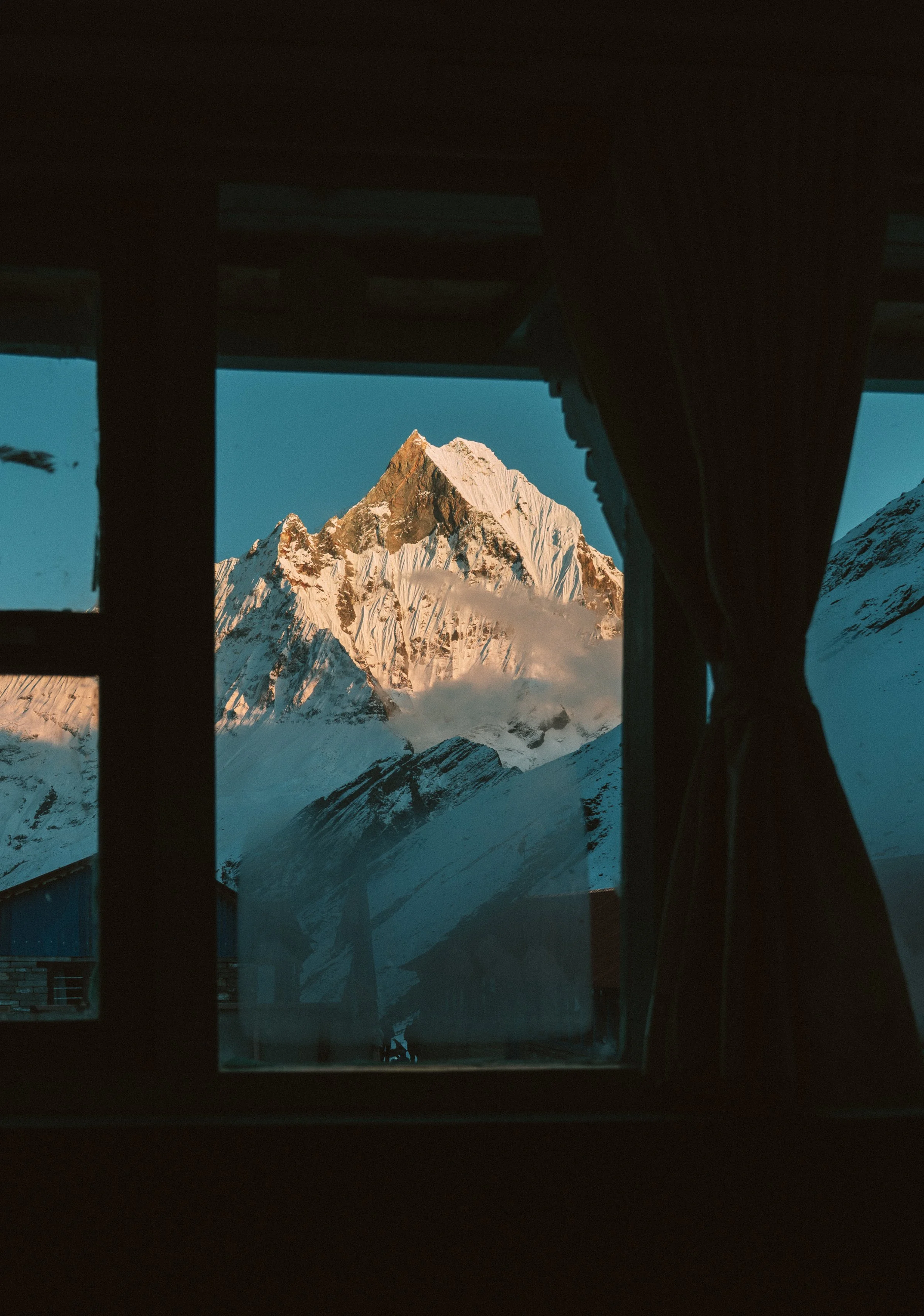
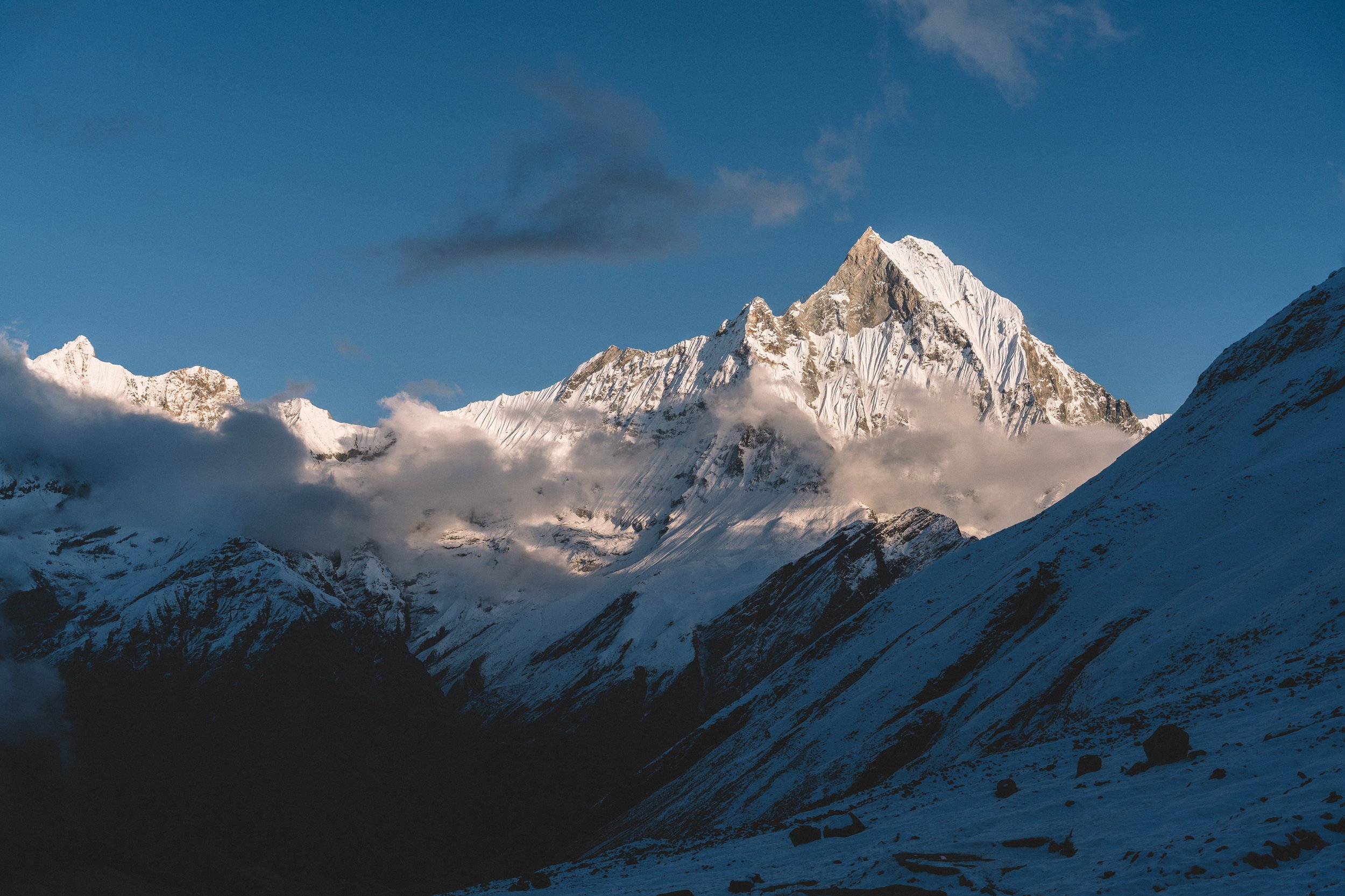
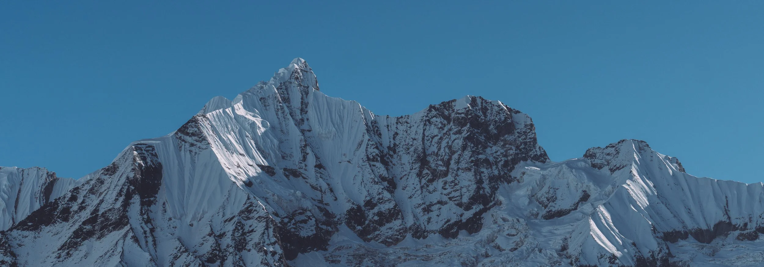
Machhapuchhre was completely hidden yesterday, but today it cleared.. Kamal, who had hiked up this before, was waiting for the exact moment the sun would come out from above the mountains. The rays were already felt in the back of the mountains, as the snow started to melt. Suddenly the rays beamed out and started shining on Annapurna South instantly.
Witnessing this erased all the pain I had felt the previous day and gave me new energy to pursue today's hike. I was ready to see Annapurna.
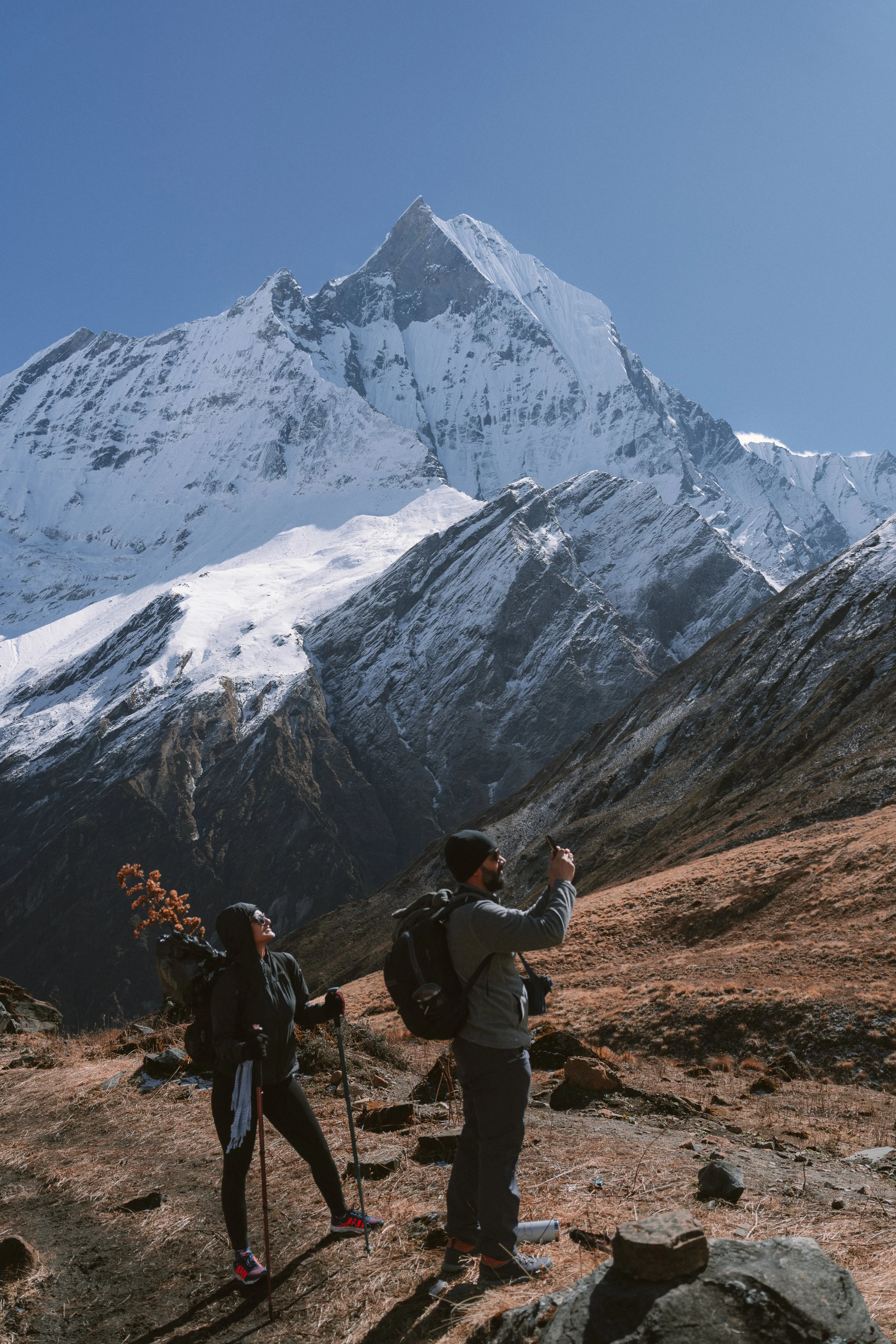
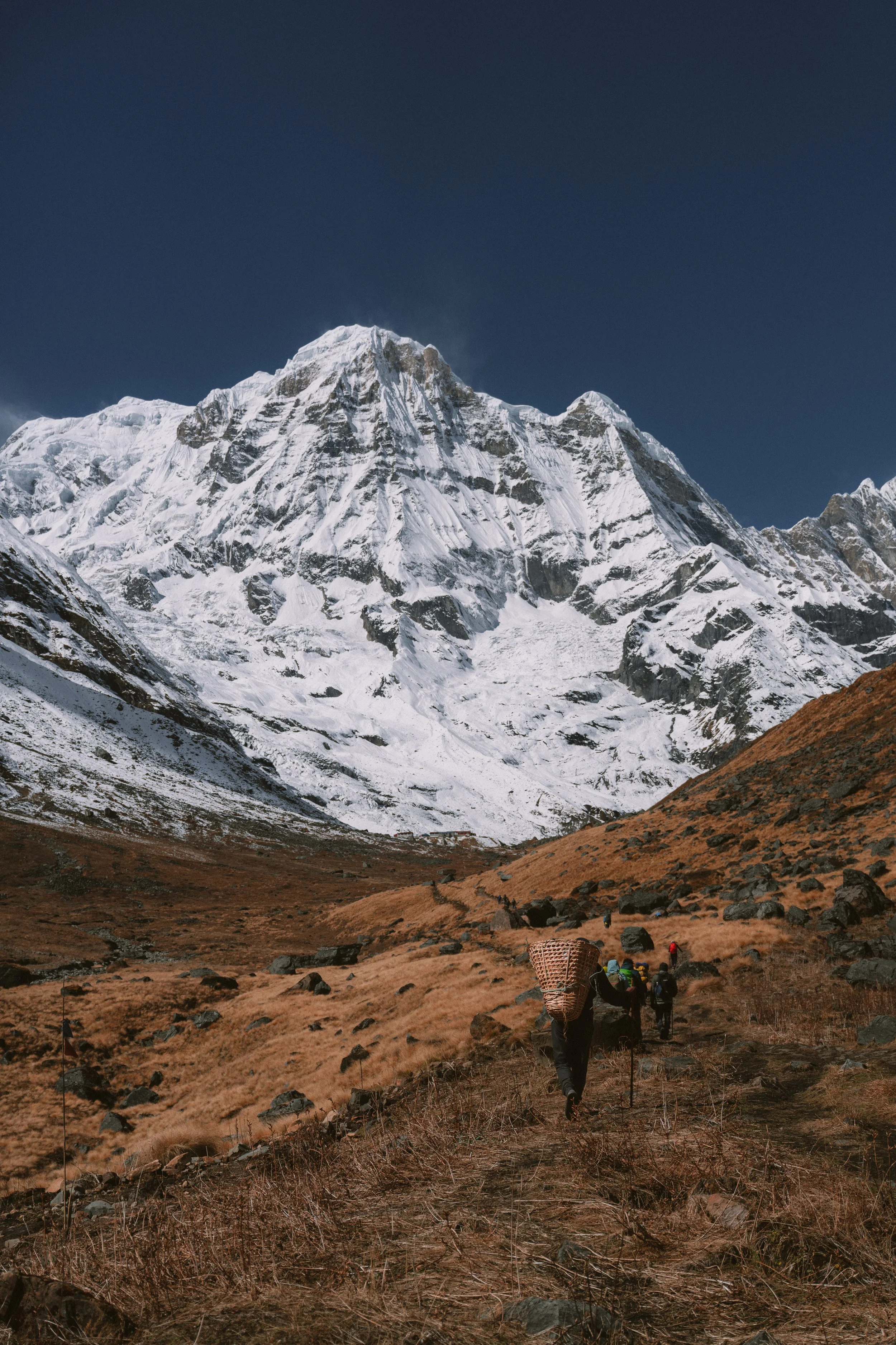
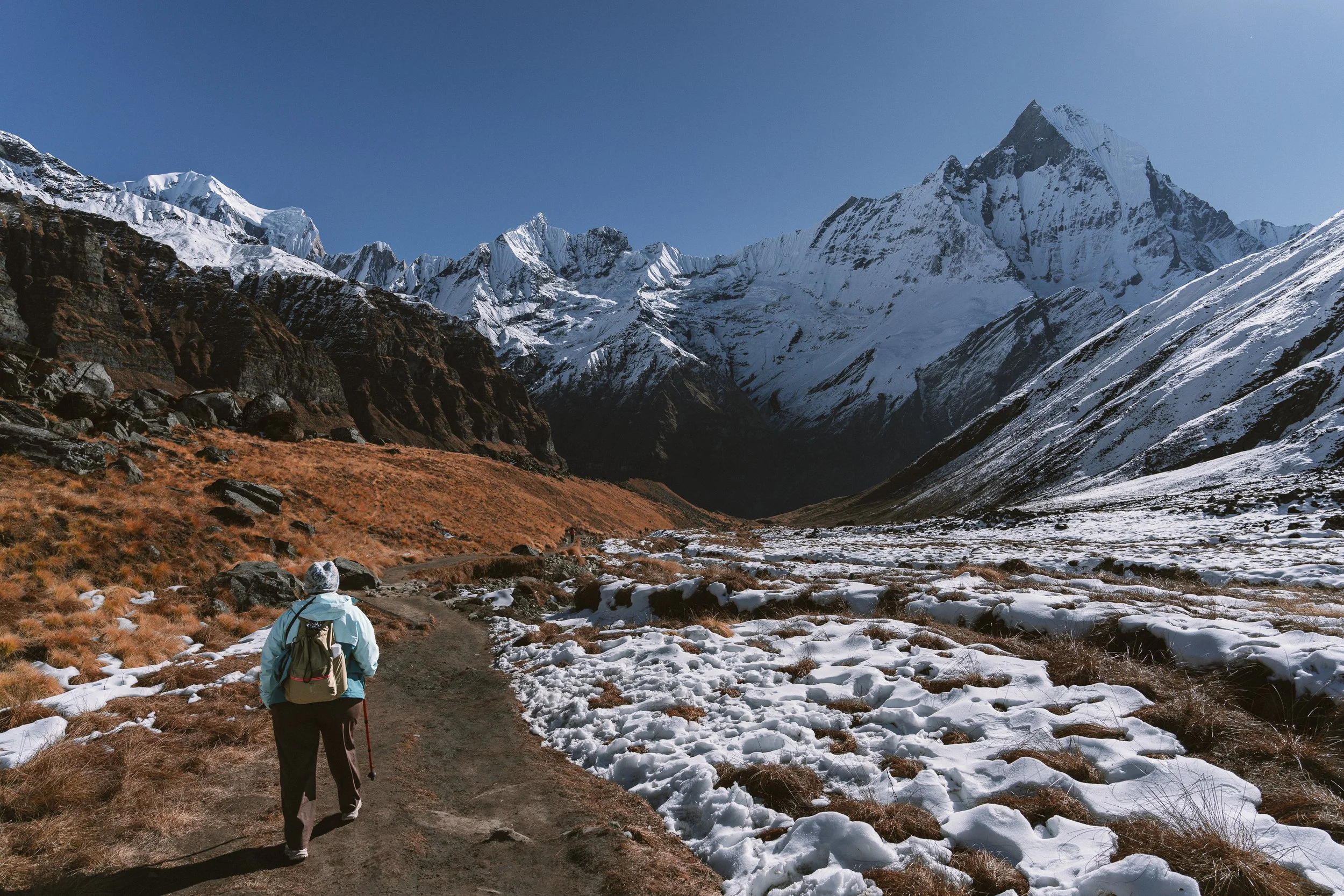
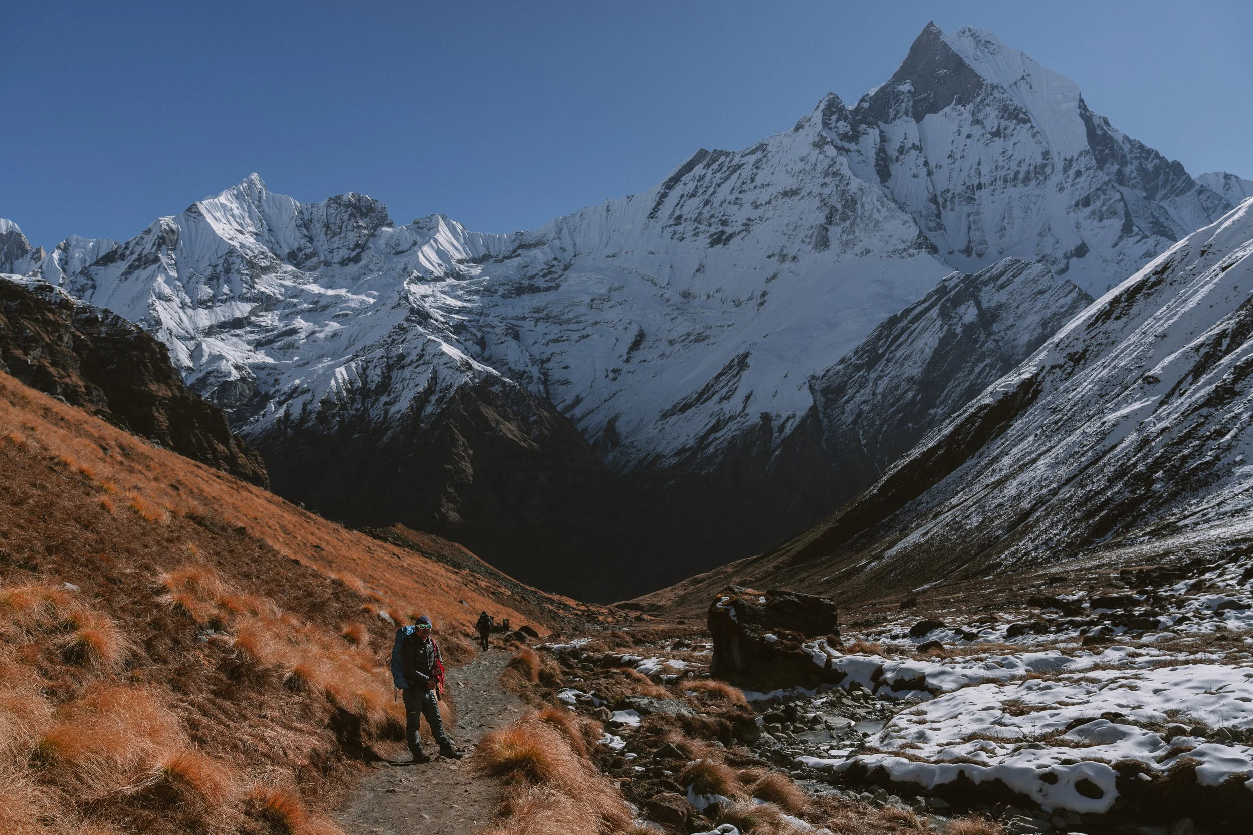
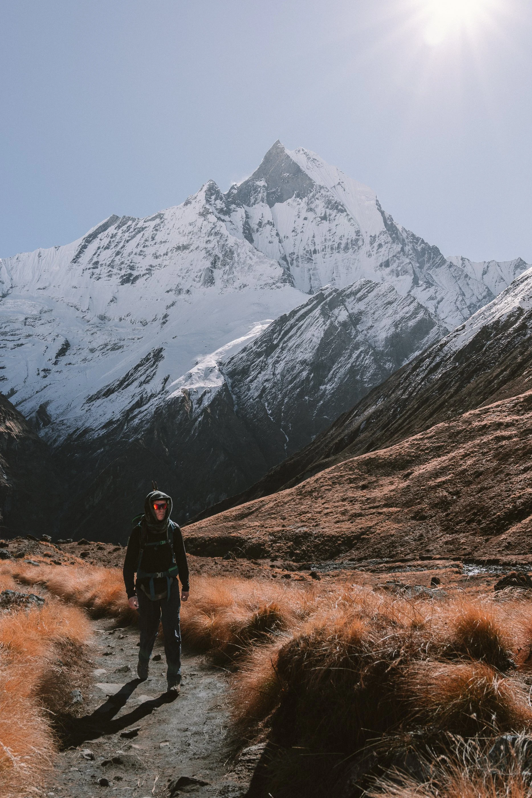
Today's hike is the shortest — a couple of hours from MBC. Just 500 metres of elevation gain. I hydrated myself more today to avoid the mistake from yesterday, but still I went out of breath quite a few times, which made the hike slightly harder than it should have been.
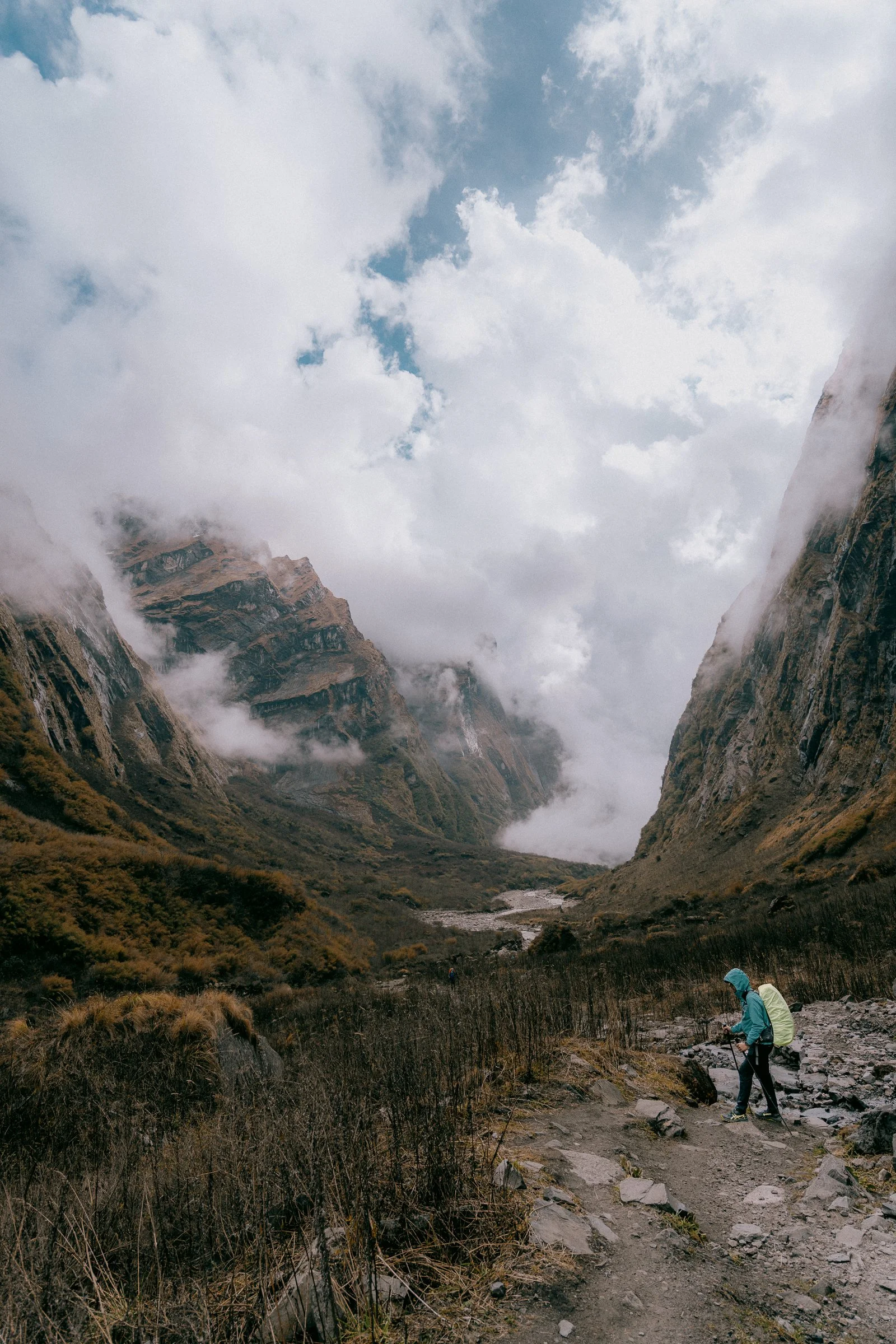
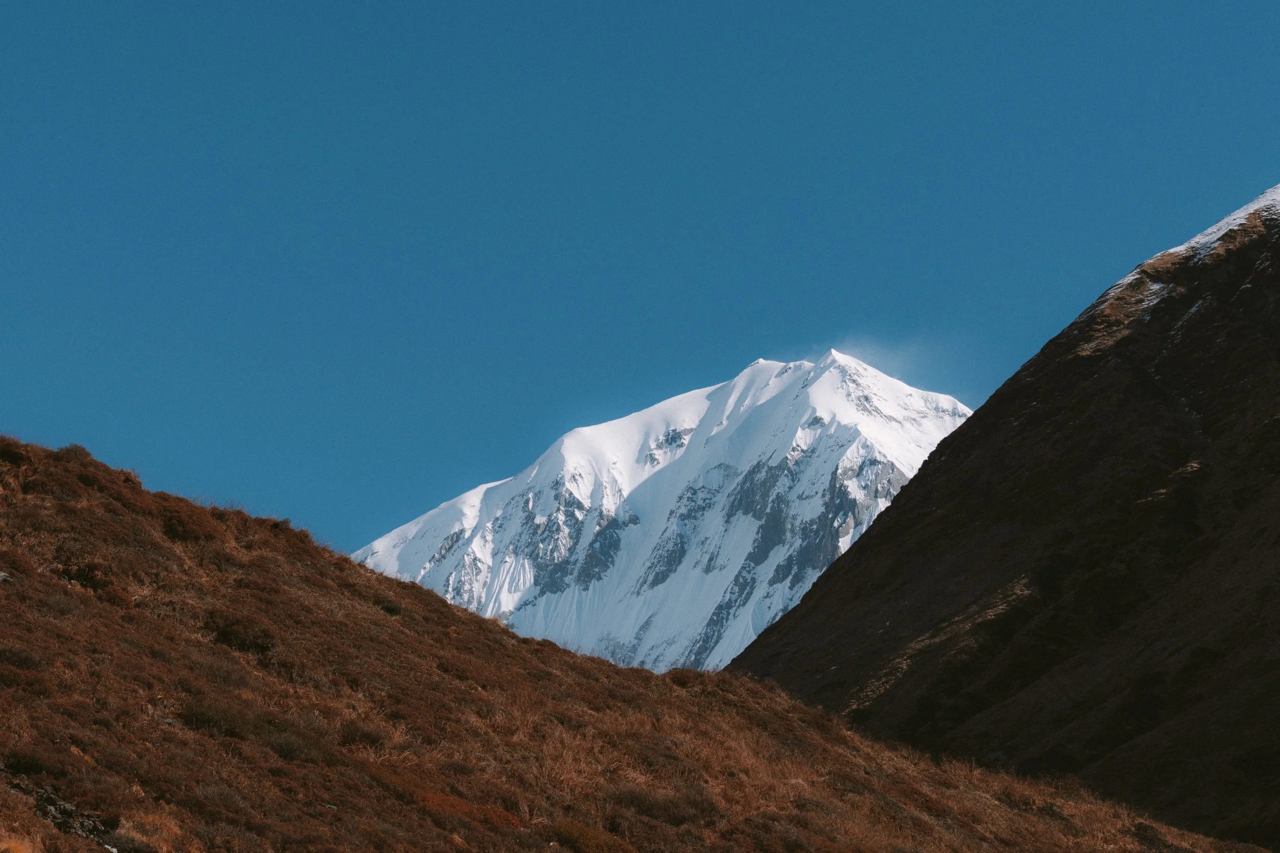
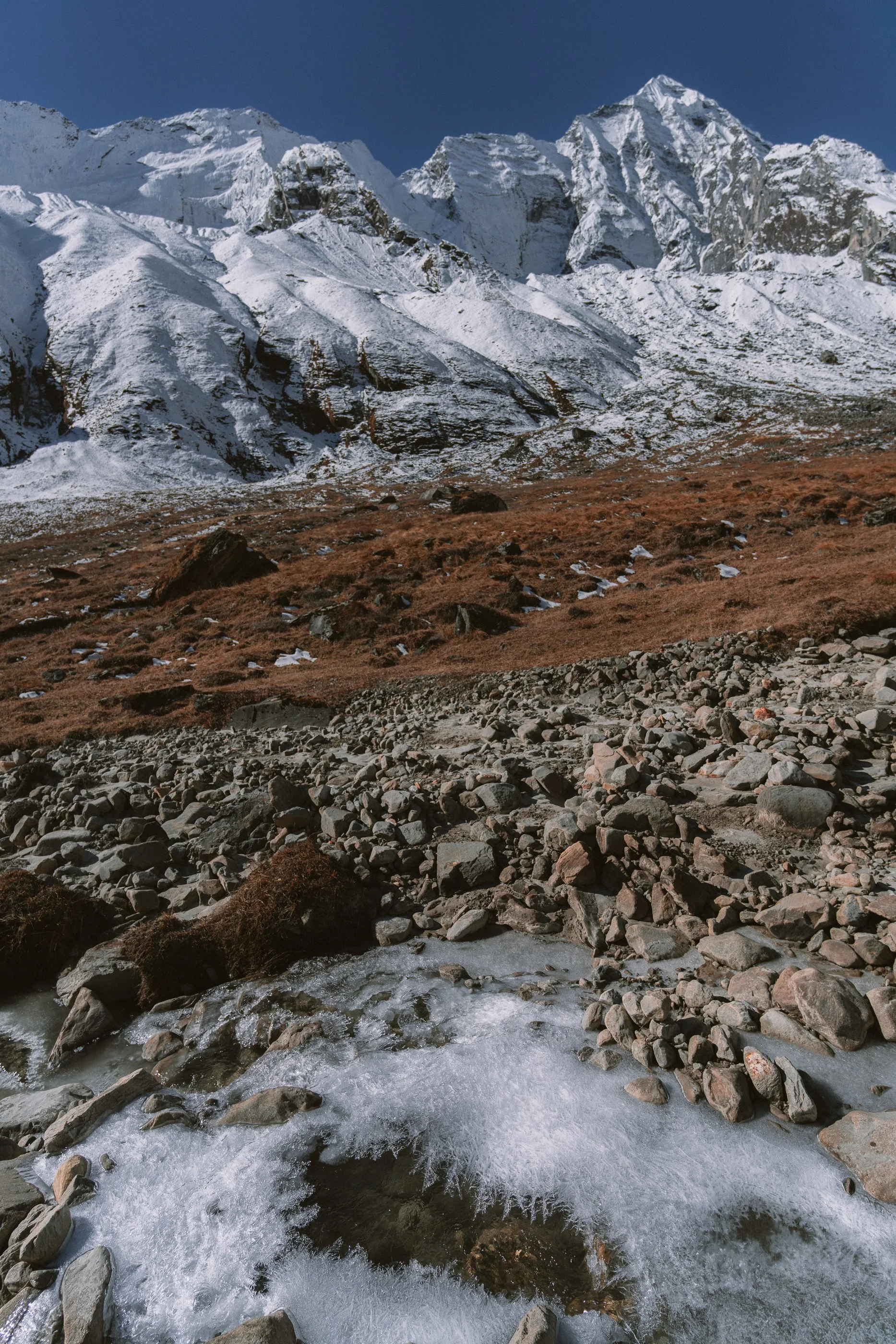
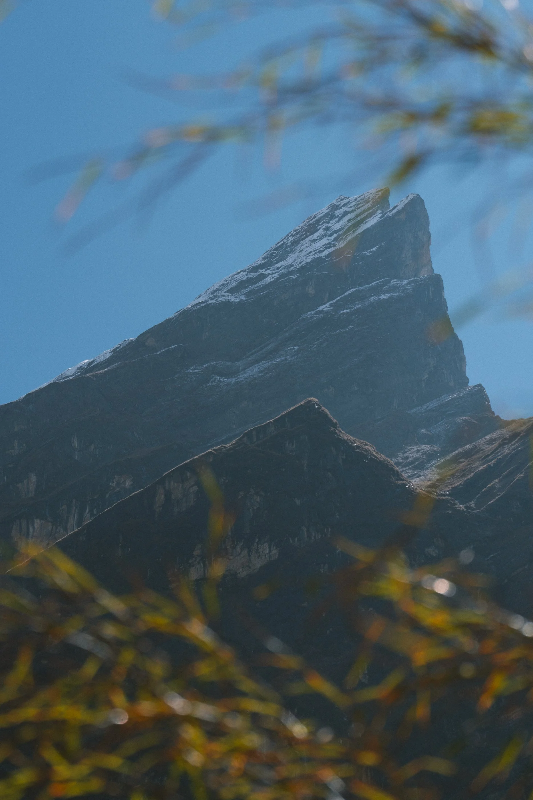
The bushes around the trail were completely frozen, especially the ones the sun couldn't reach. Our walk was filled with a stunning view of Machhapuchhre in the back, Annapurna valley ahead, and a beautiful stream flowing on the left.
When we were almost about to reach, Kamal asked us to close our eyes for the big reveal.
It was worth it.
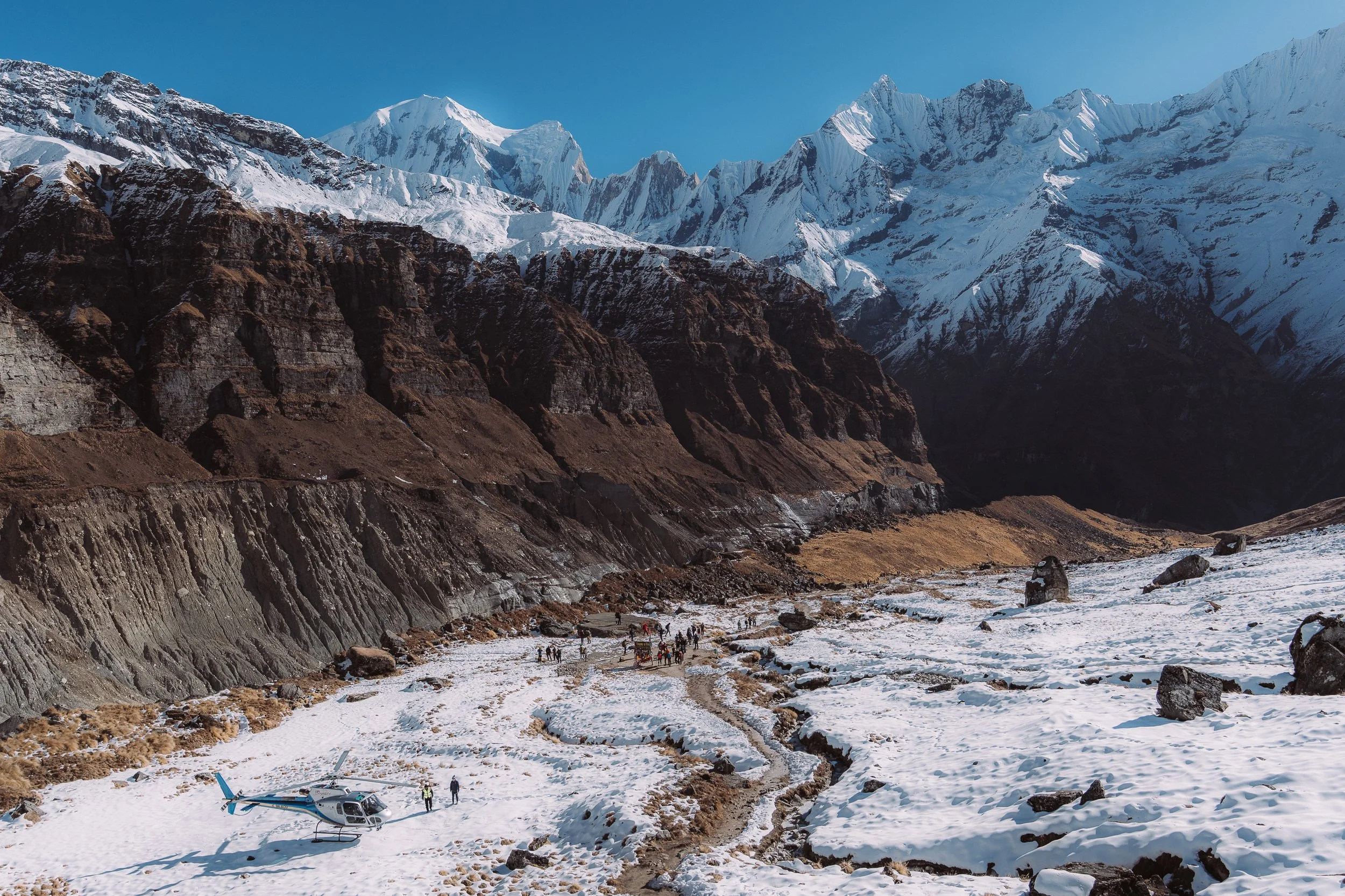
When I opened them, there was this overwhelming outburst of joy. We suddenly felt like we were in the middle of a football stadium, surrounded by Annapurna, Annapurna II, Gangapurna, and other mountains — relative to the giants, they were still 7,000m tall. All the mountains were fully lit by the bright afternoon light.
We got together to take one great photo in front of the signboard, feeling like we'd achieved our goal for 2025. There was an overwhelming sense of achievement. We took a couple of photos — one with Kamal, one with the whole group.
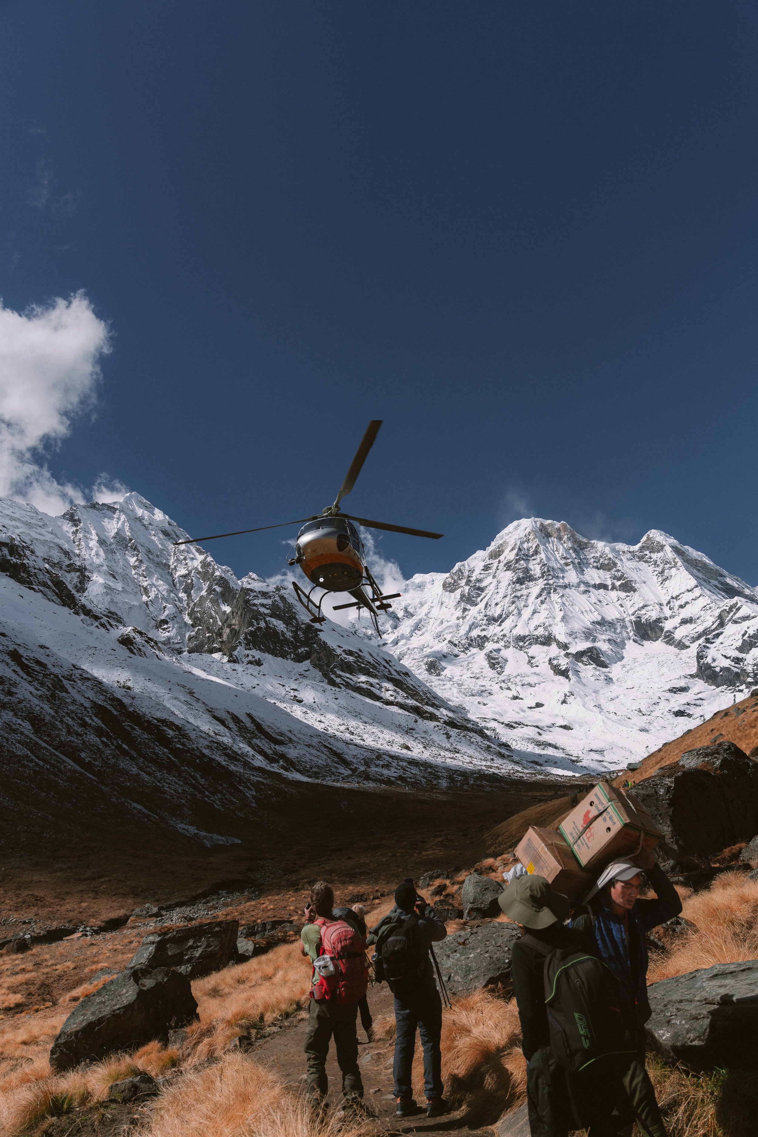
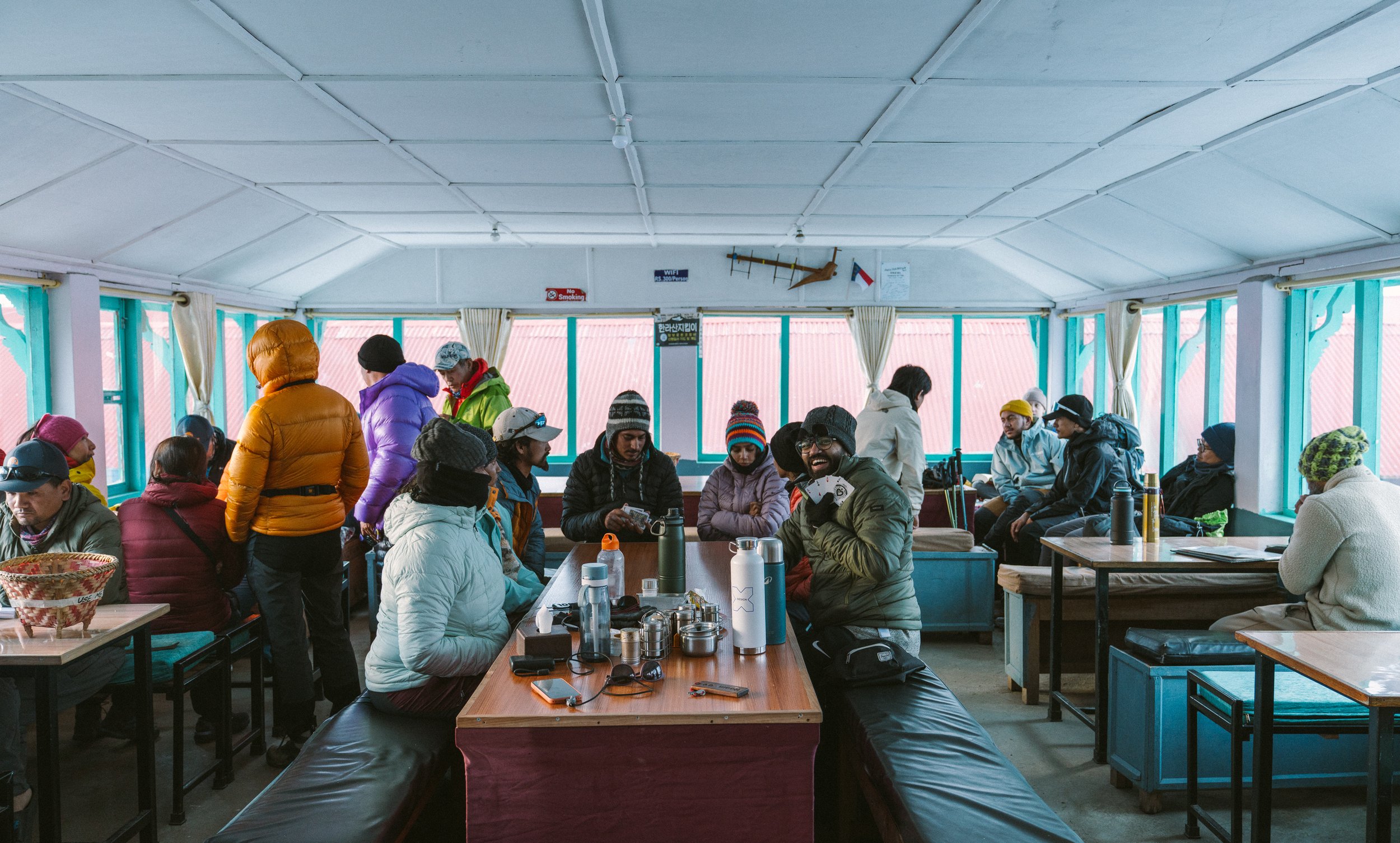
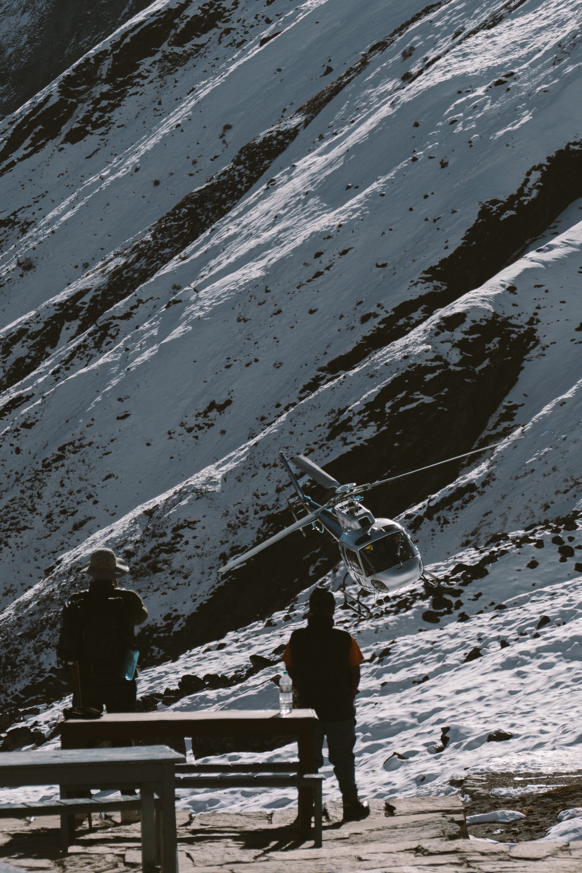
We reached around 2pm and just hung around inside the tea house. It's fascinating to see what humans are capable of — we built a base camp at this altitude and we're able to enjoy a variety of food from this tea house, good WiFi to connect with friends and family, and most importantly a bed and room to sleep.
At the base camp, Subodh gathered us around the Anatoli Boukreev memorial. He told us the story of the infamous rescue Anatoli did in 1996 on Everest, and how on his next summit attempt on Annapurna in 1997, he lost his life. It’s one of those stories that make you wonder about what we are capable of and how mountains control your fate once you are there
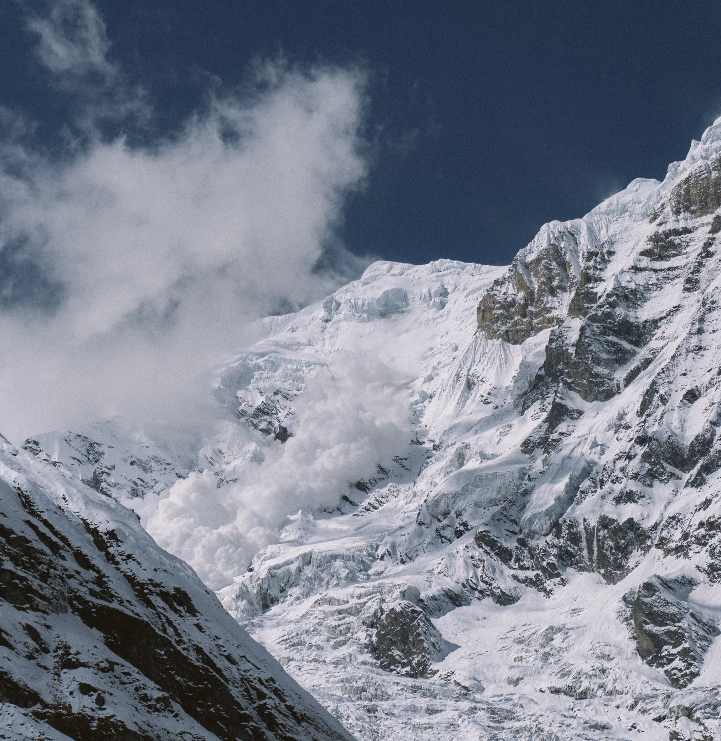
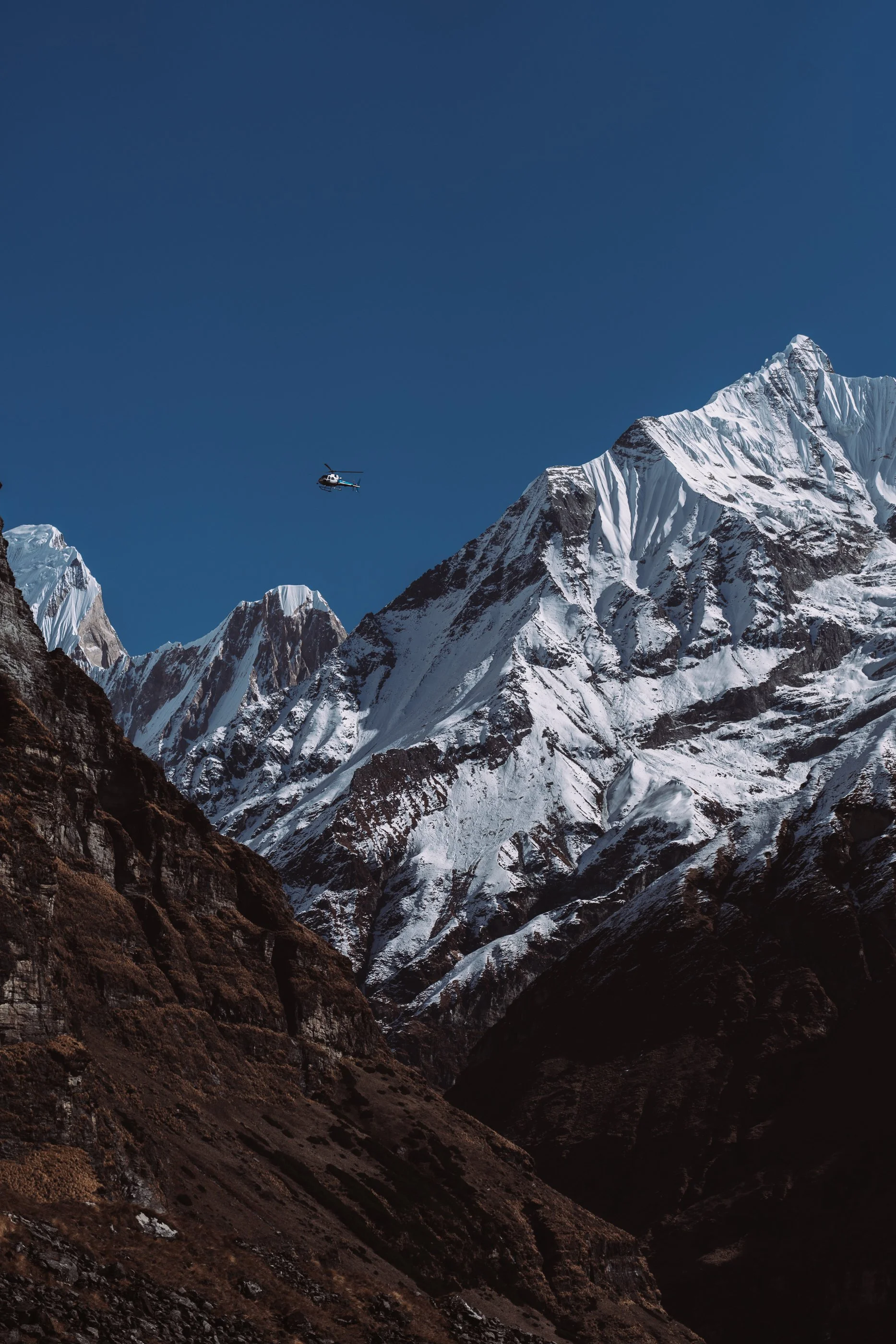
Avalanches are scary and especially when it’s super close to base camp, but I’ve been told this is normal here
Kamal made me wait here for this stunning view when the sun comes out on the top of the mountains
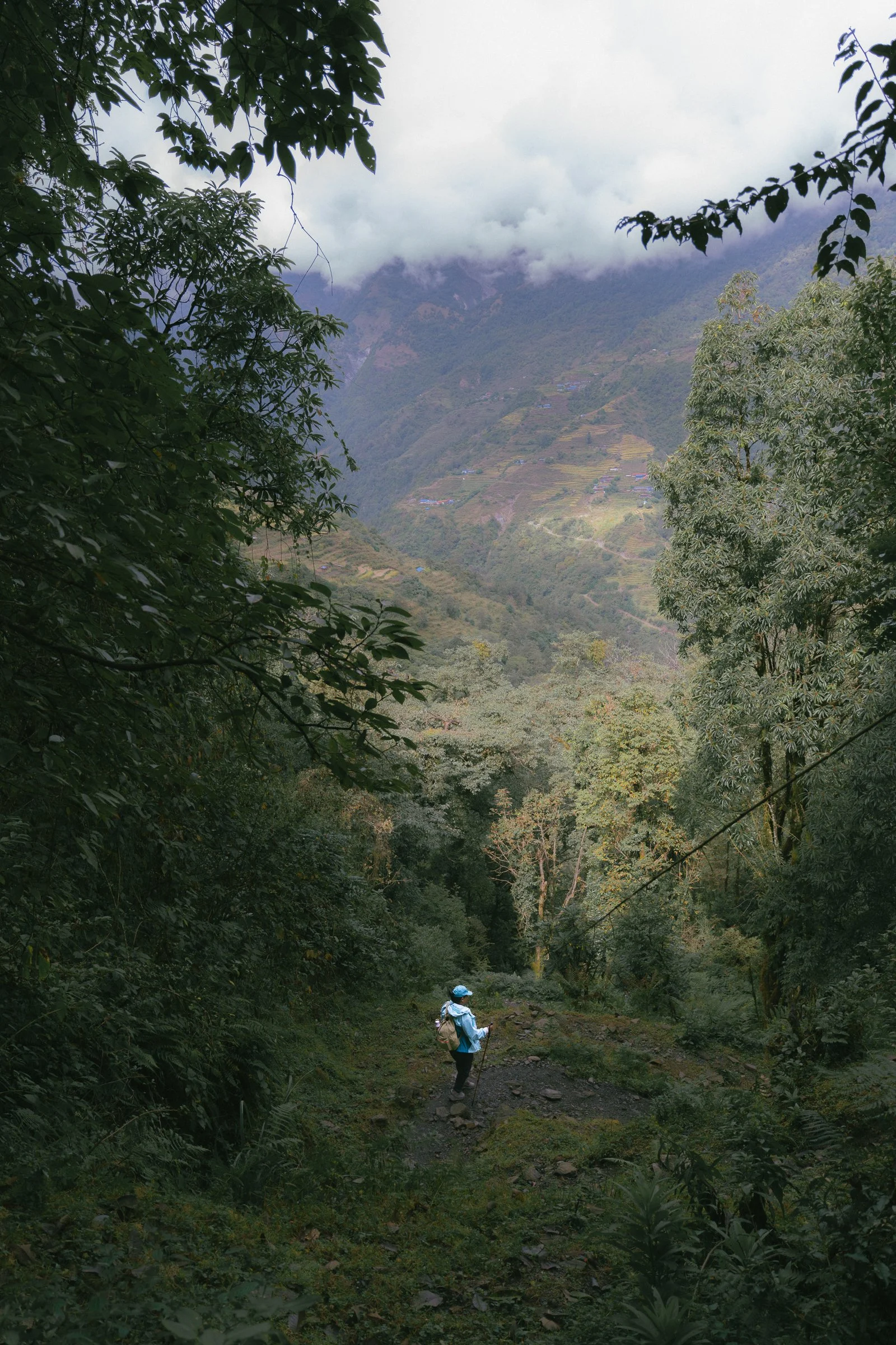
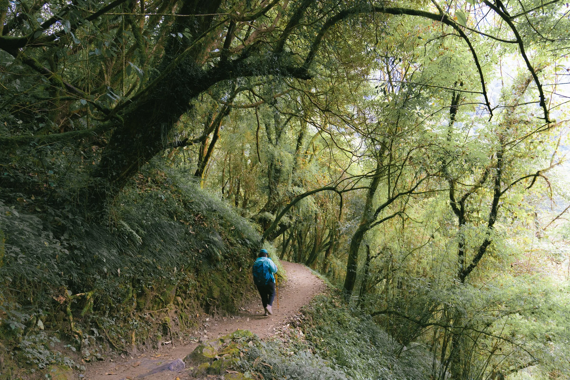
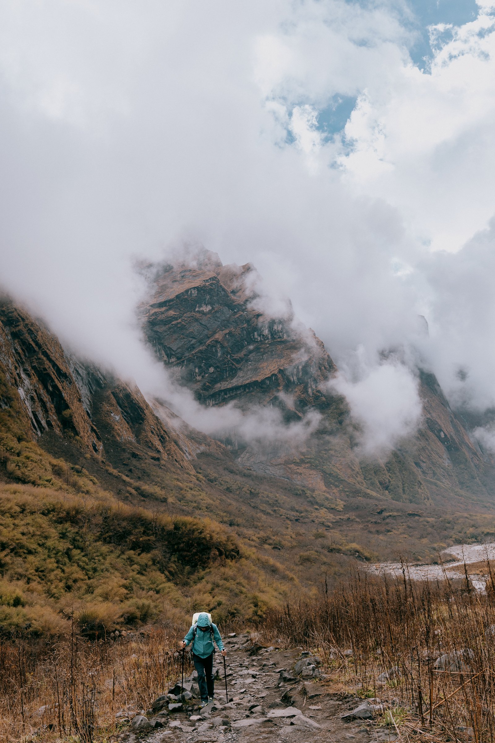
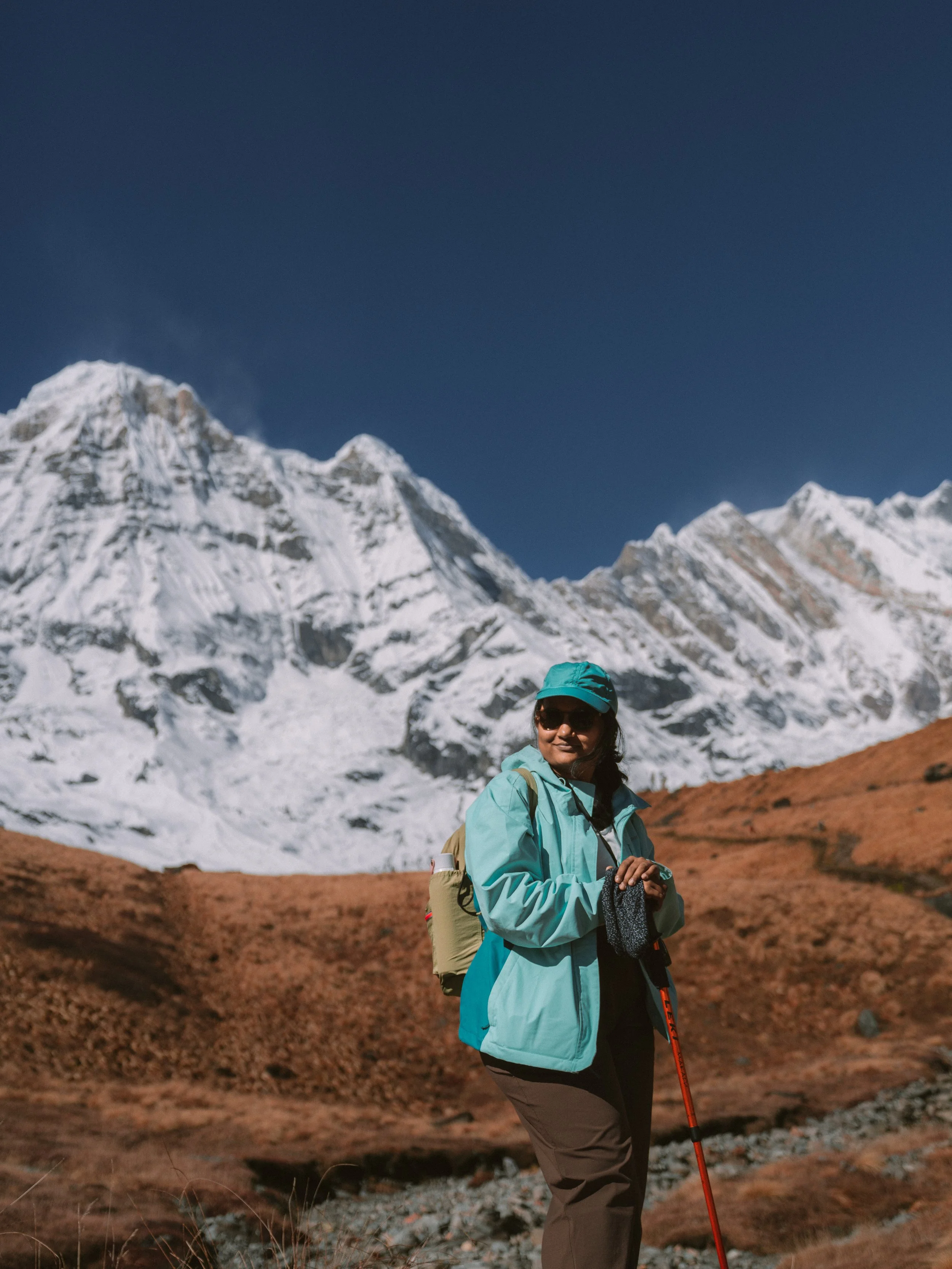
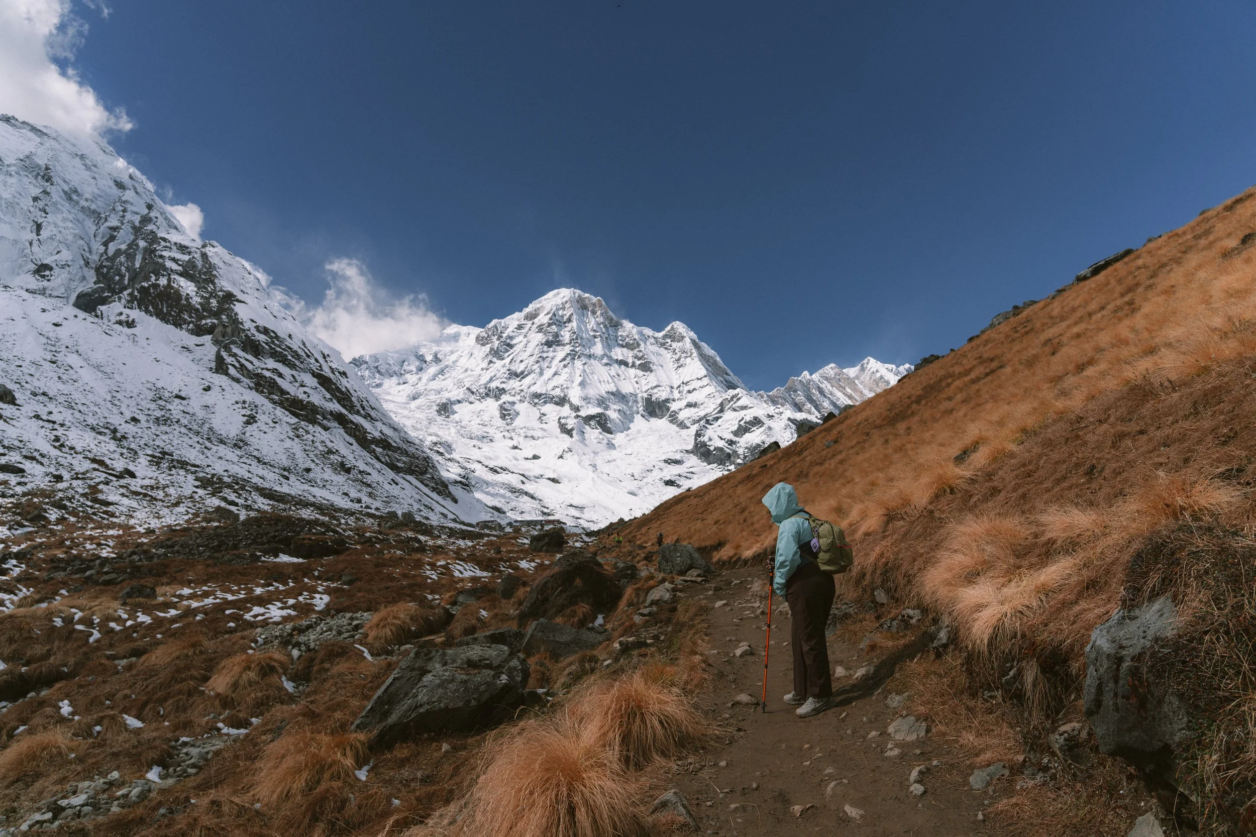
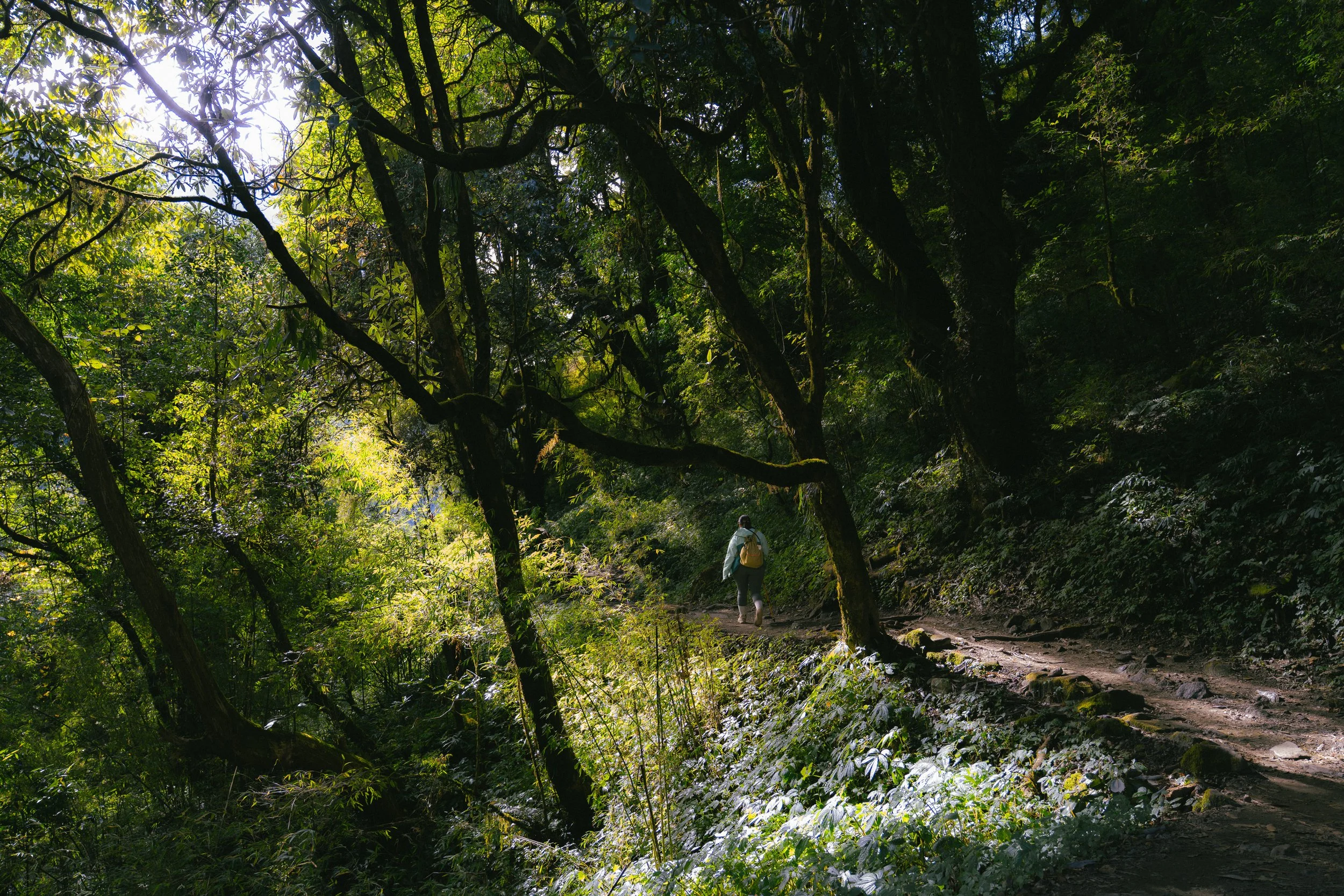
In the last few days, Meg’s teal jacket become my personal marker—just following her, one step at a time.
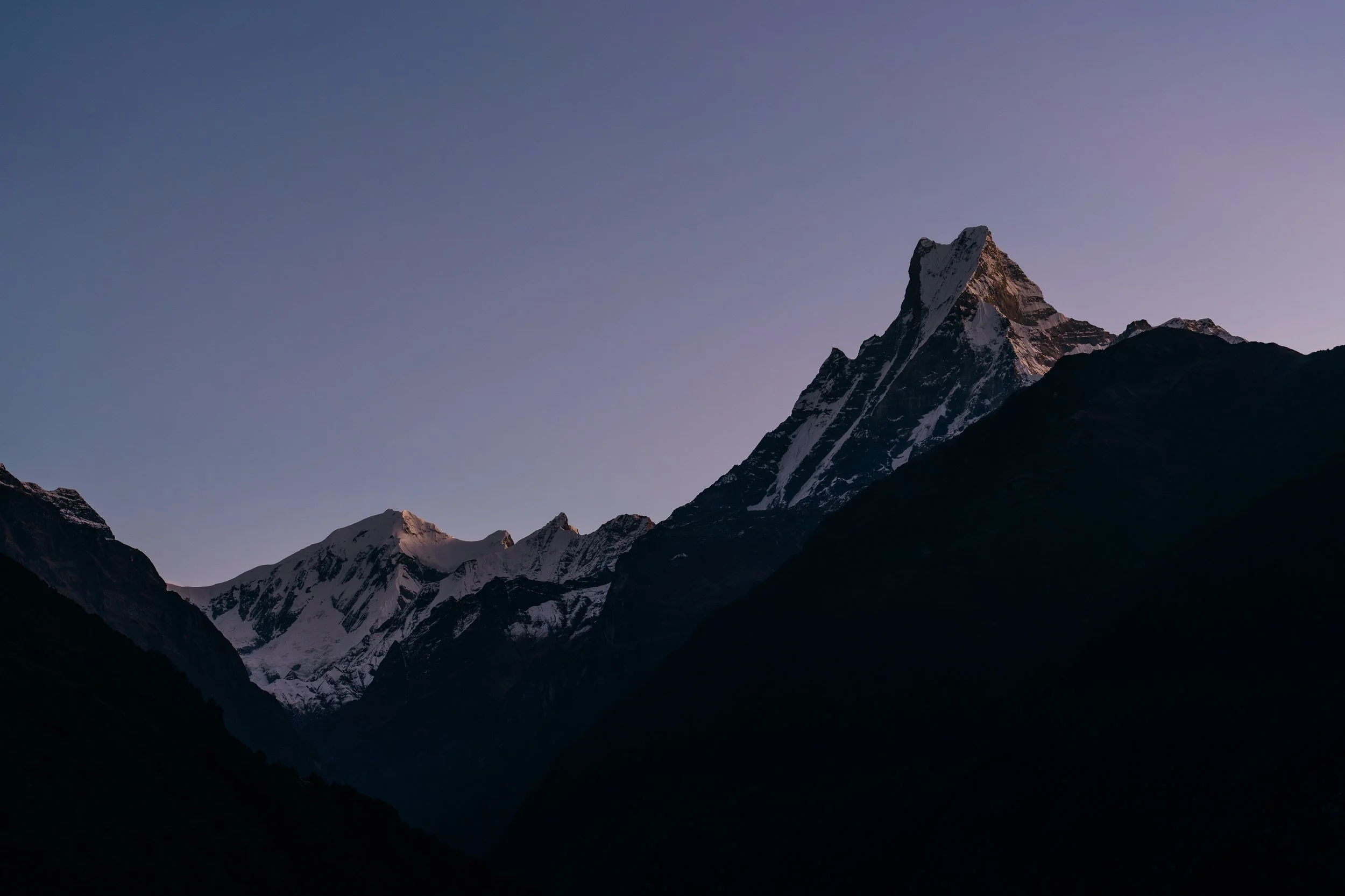
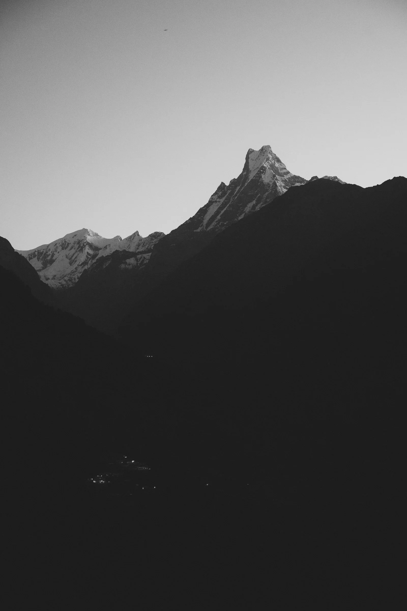
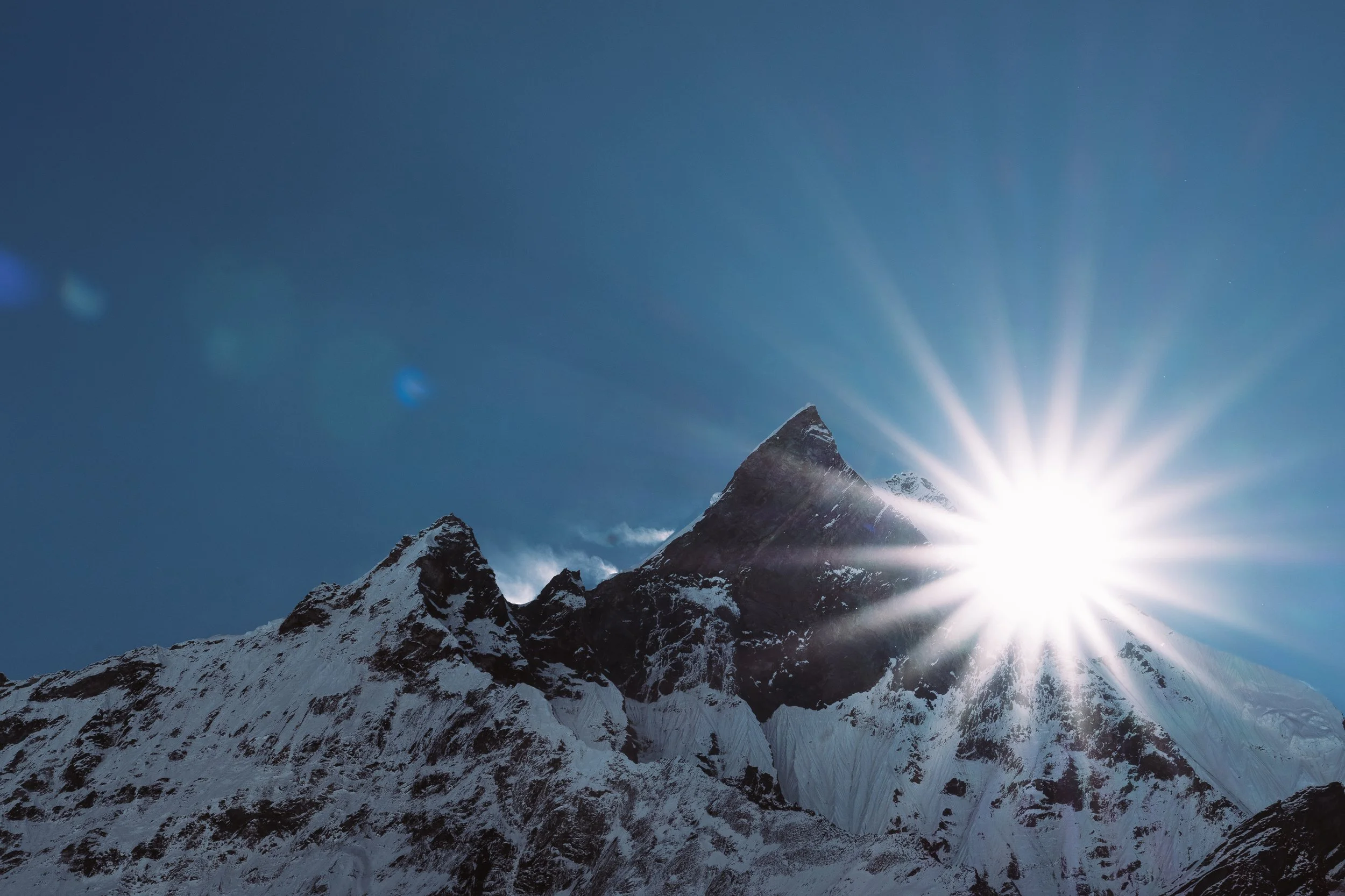
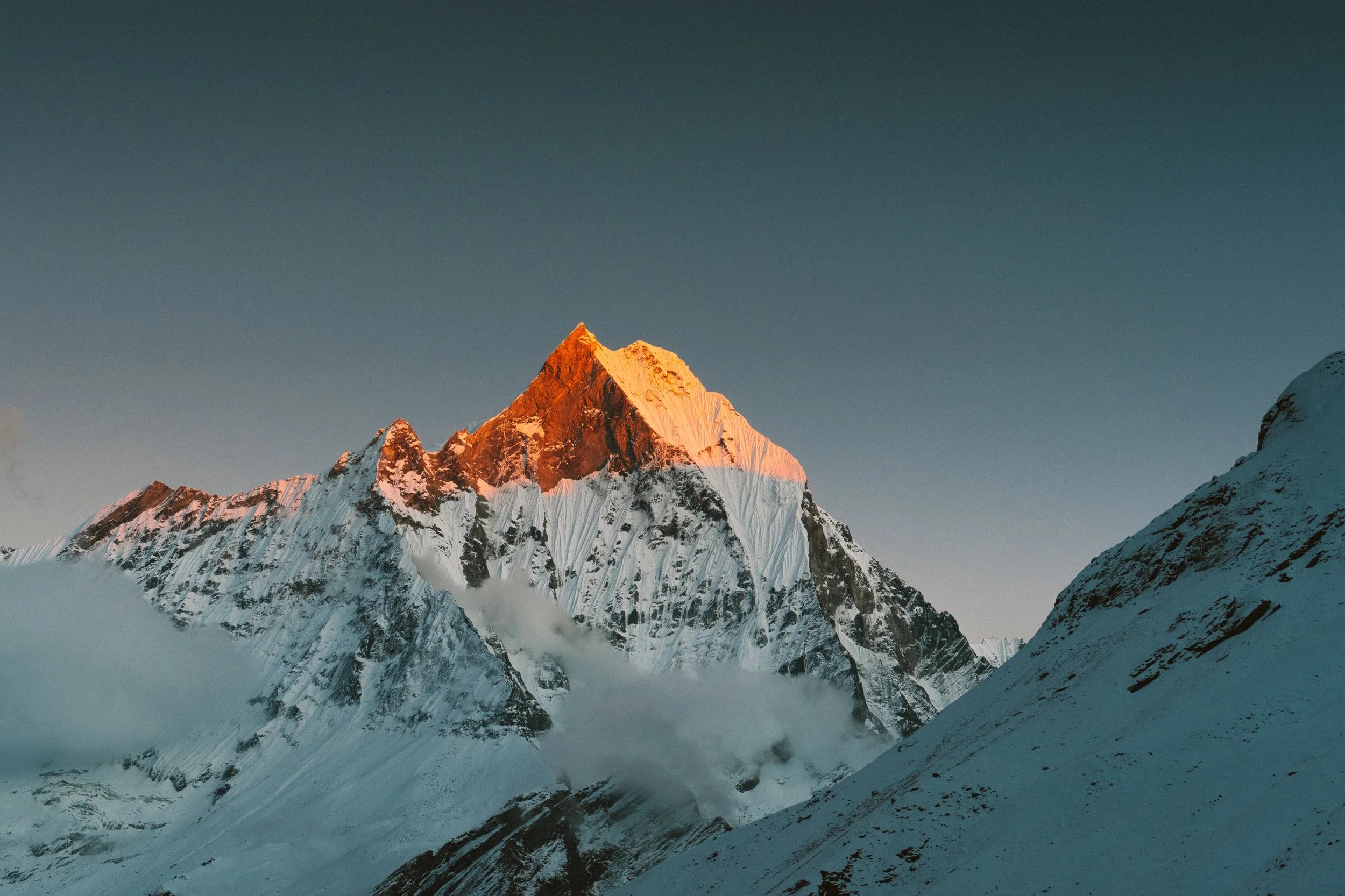
The sunset was magical. You could see Machhapuchhre light up one more time when the sun went down. The contrast was unbelievable and it felt like everything I could ask for, as a photographer.
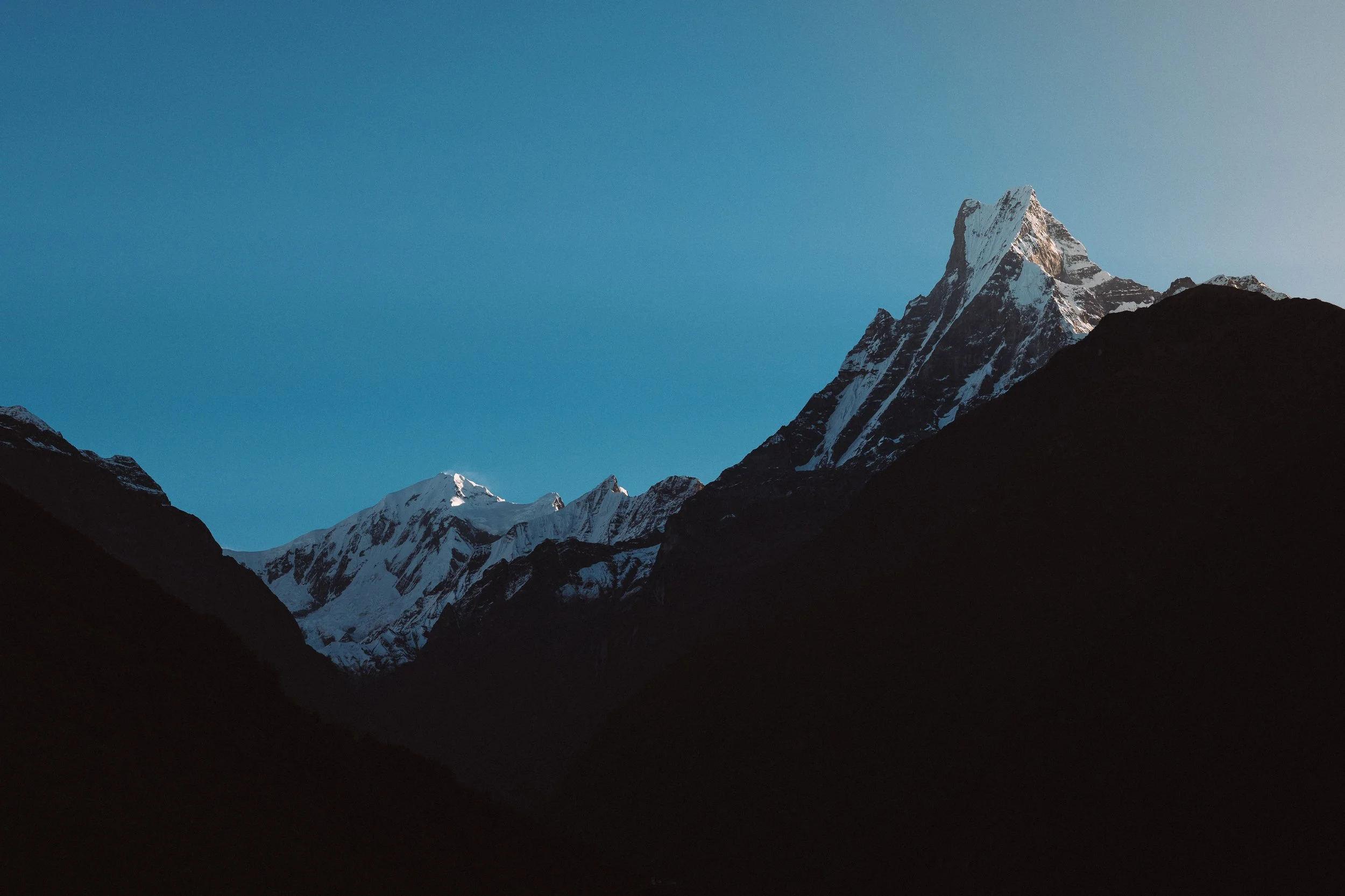
In the night the clouds cleared up even more, paving the way for the stars to shine and letting the moonlight reflect on the snow. Feels funny to say, but the mountains were more clear and bright in the night than in the evening. There was a general lack of wind that night, which made it easy for us to take some photos in front of the glaciers and Annapurna. A bunch of us from the group were out there — even though it was freezing, I was wearing my sandals and walking around not feeling any cold that night. It was surreal being there.
Around 2am I woke up to Meg in deep pain. It was the headache, during the night she got dehydrated which ended up giving her a bit of altitude sickness. I rushed outside to grab some water from the tap, but the water taps were frozen. When I was just about to give up, I saw Kamal's brother Priyanshu standing there with a water bottle with just enough water for Meg. (I wasn't sure if I was hallucinating because of altitude sickness so I actually had to confirm this event with Priyanshu the next day)
I came back to my room and gave Meg the water, but it wasn't enough. We slowly pushed through the night, half awake, waiting for someone to figure out a way to get water.
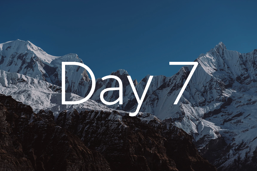
Day 7
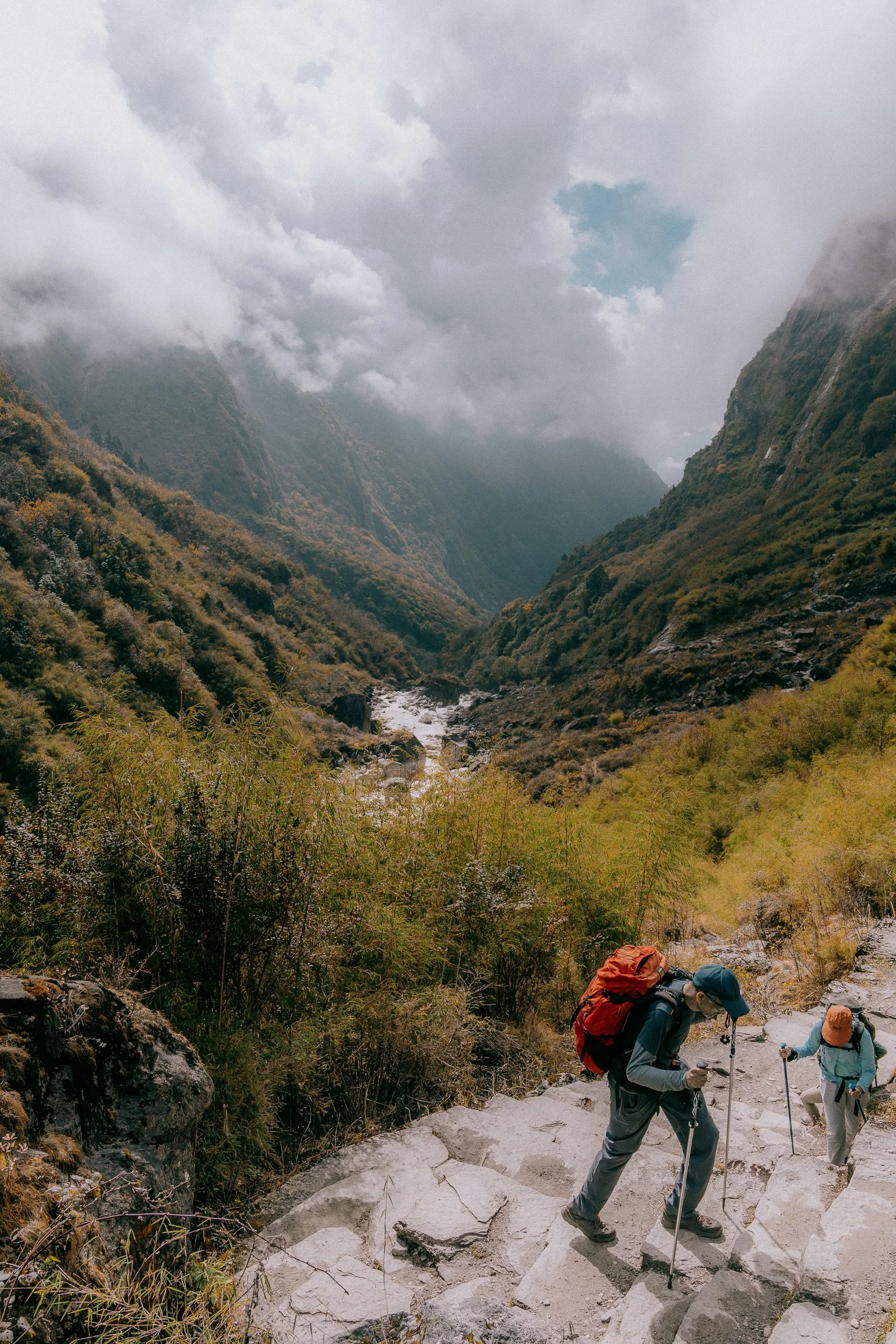
Day 7: ABC to Dovan — The Long Way Down
Altitude: 4,136m → 2,298mAround 6am next day we finally managed to get some water. I heard a huge cracking sound and someone opening the tap again. I went out and was able to fill up the water bottle. Meg started feeling better slowly — within a few hours she was back to normal, though still low on energy from the bad sleep.
As the sun came, we saw our last sunrise at the base camp. We had breakfast, took some more photos as a group, and started our long day. We’d be retracing Day 6 and Day 5 in a single push, all the way to Dovan where we'd stayed previously.
The walk back was relatively easy. It was a steep and gradual descent until the first village, where we grabbed some caramel cappuccino — yes, you do get these in the mountains — and appreciated the hike.
Once you finish the hike, you want to go back to a nice hotel, take a hot shower, and refresh. But for us, that was still 2 more days away. We continued our climb down, through the autumn forest one last time, through Bamboo village, and finally reached Dovan. Kamal, Meg, and I bought a chocolate banana cake in Dovan village as a mini celebration.

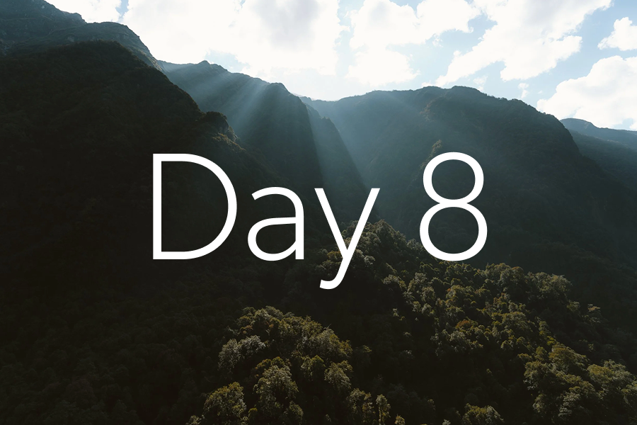
Day 8
Day 8: Dovan to Jhinu
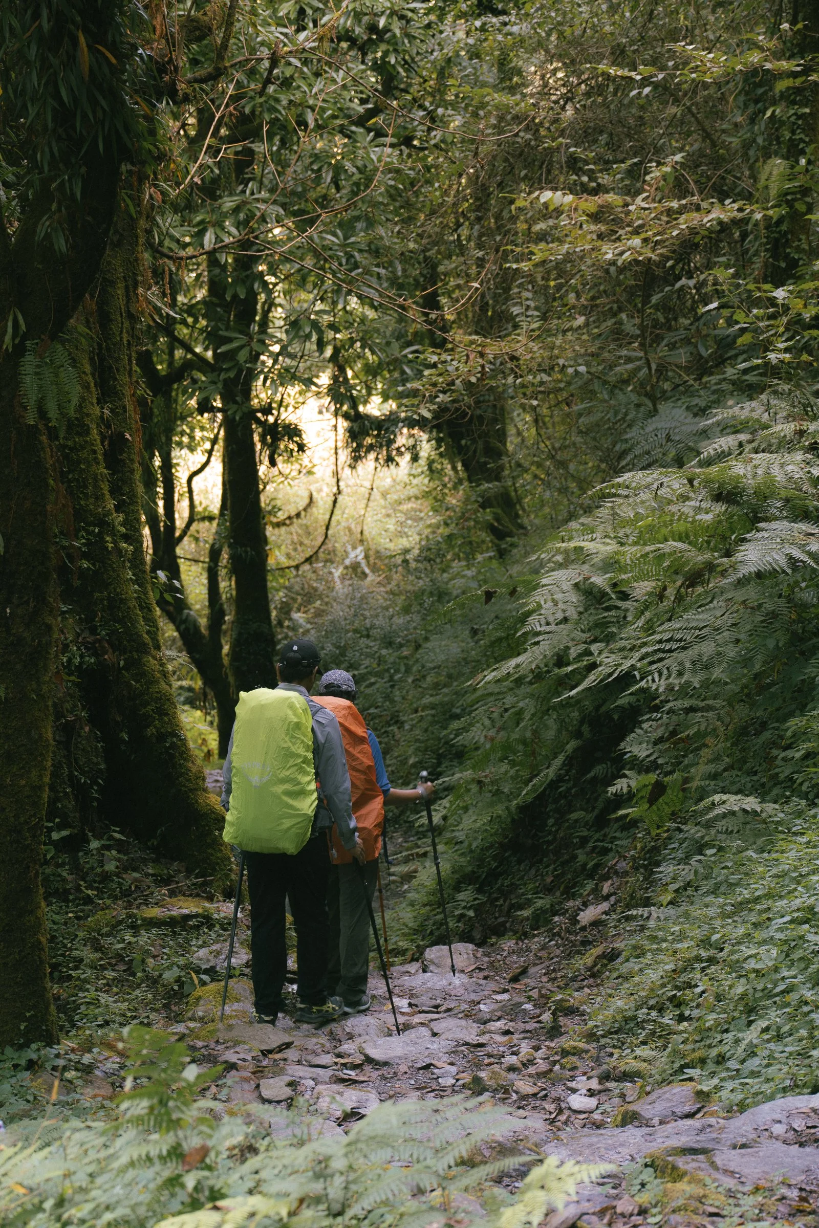
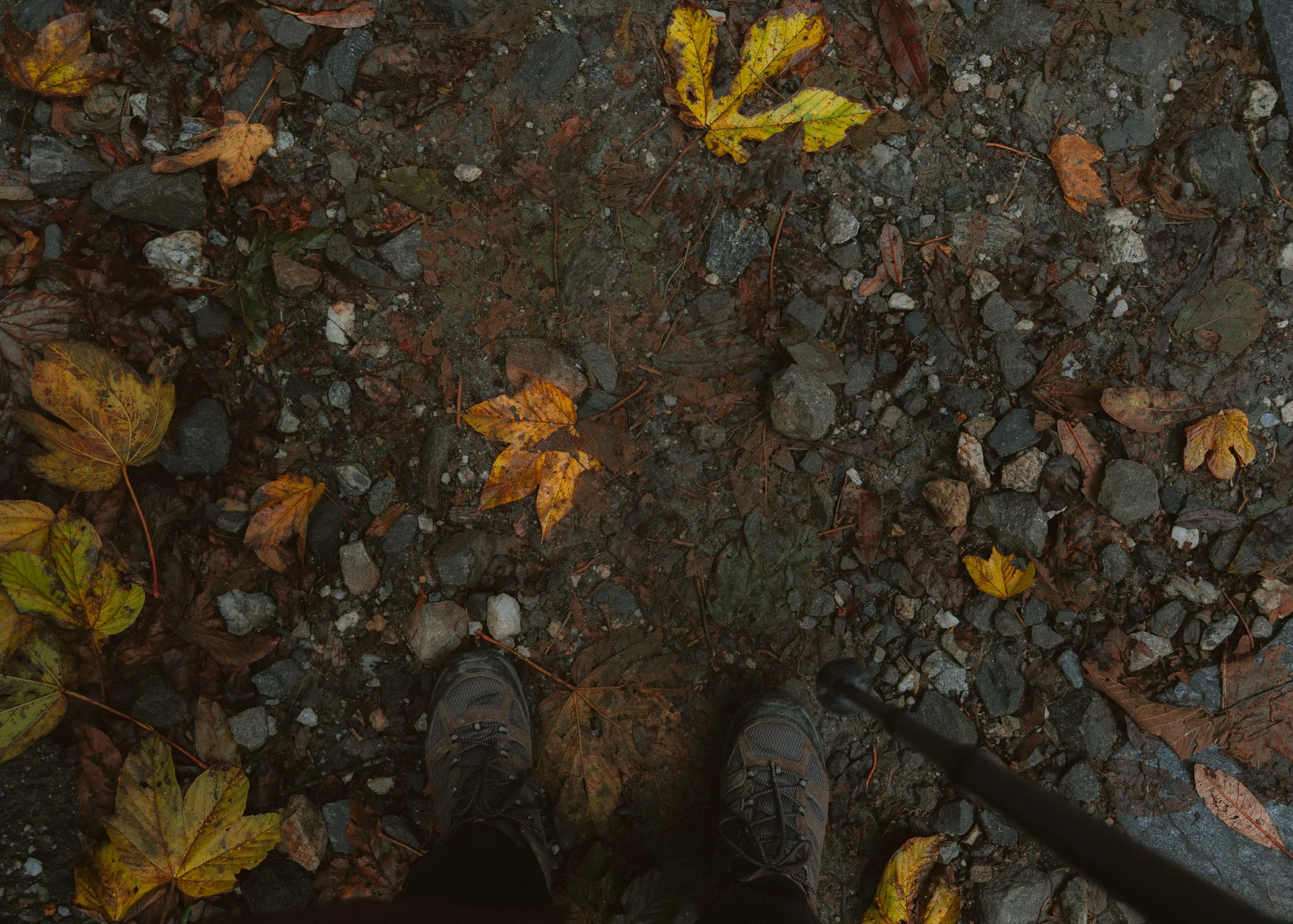
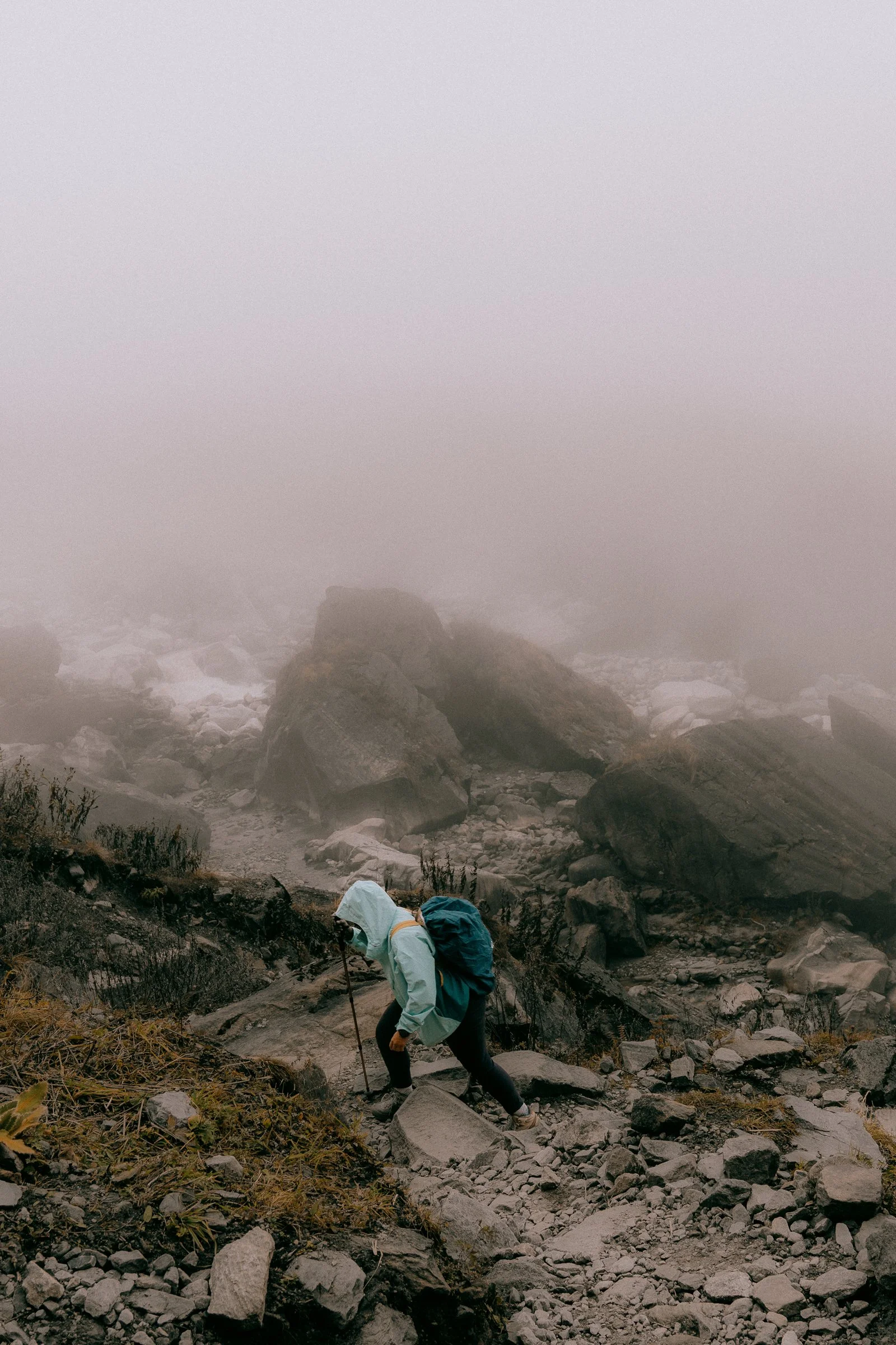
Altitude: 2,298m → 1,811mToday was a long day down. We bid our last goodbyes to the mountains and headed down. Today's hike was not as easy as yesterday, as we had to climb a few mountains back up. The ones that we had fun descending on our way to base camp suddenly looked super daunting. There was a particular stretch of over 1,000 stairs that was painful to climb up, but without any worry about altitude sickness and with excitement towards returning back to civilisation, we were all pushing down fast.
We had our lunch in Lower Sinuwa and did our last climb up to Chhomrong, which was particularly challenging, but we made it. Another hour down and we finally reached Jhinu.
The walk down was exciting because on the other side of Jhinu we could finally see buses and cars, which were absent during the whole hike.
Today was a particularly exciting day because we all got to spend our evening unwinding in the hot springs. The hot springs were another 45 minutes down from where we were staying, and oh boy, it was so refreshing. This spot is a final destination for many visitors to Annapurna, so you can see everyone relaxing there together. The hot springs were beside Modi Khola, the same river that accompanied us on the hike up.
We ended our night with some good pizza and great sleep. Next day we are going back to Pokhara and ending our amazing hike.

Day 9
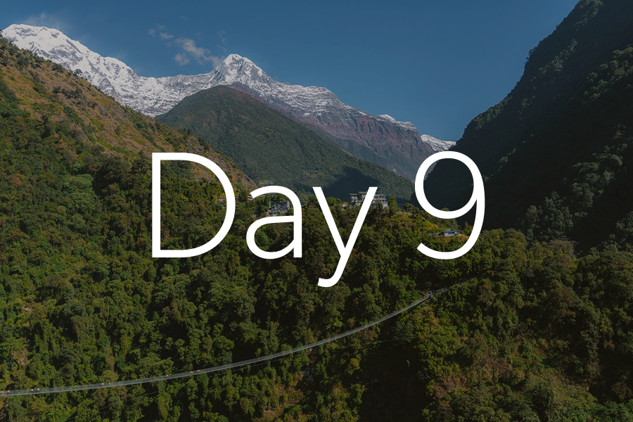
Day 9 & 10: Jhinu to Pokhara
Altitude: 1,811m → 700mAfter our last breakfast on the hike, we thanked the porters and the guides and walked down a bit more to reach the cars. Our drive back to Pokhara was relaxing. We stopped on the way to get some guavas and reached Pokhara for lunch.
We ended up eating so much at MoMo's Cafe & Bar and it felt like we'd finally got back to civilisation. We spent a few more hours roaming around, editing some photos, and caught up with everyone for a nice dinner as a group.
My biggest takeaway is that we went from being overwhelmed by the idea of a multi-day hike to climbing to one of the highest base camps in the world. It’s incredible what we can do when we focus on one thing.
Thank You
Special thanks to our guides, the porters, the villages in Annapurna, and the beautiful town of Pokhara for making one of the best hikes of our lifetime. For anyone else interested in signing up for this hike or similar, reach out to The Vertical Tribe.
Thank you Kamal for helping us discover an experience of a lifetime through your words and photos. It's easy to talk, but you walked alongside us, helped us ease into the altitude, and showed us how beautiful mountains can be.
Until next time, Nepal.

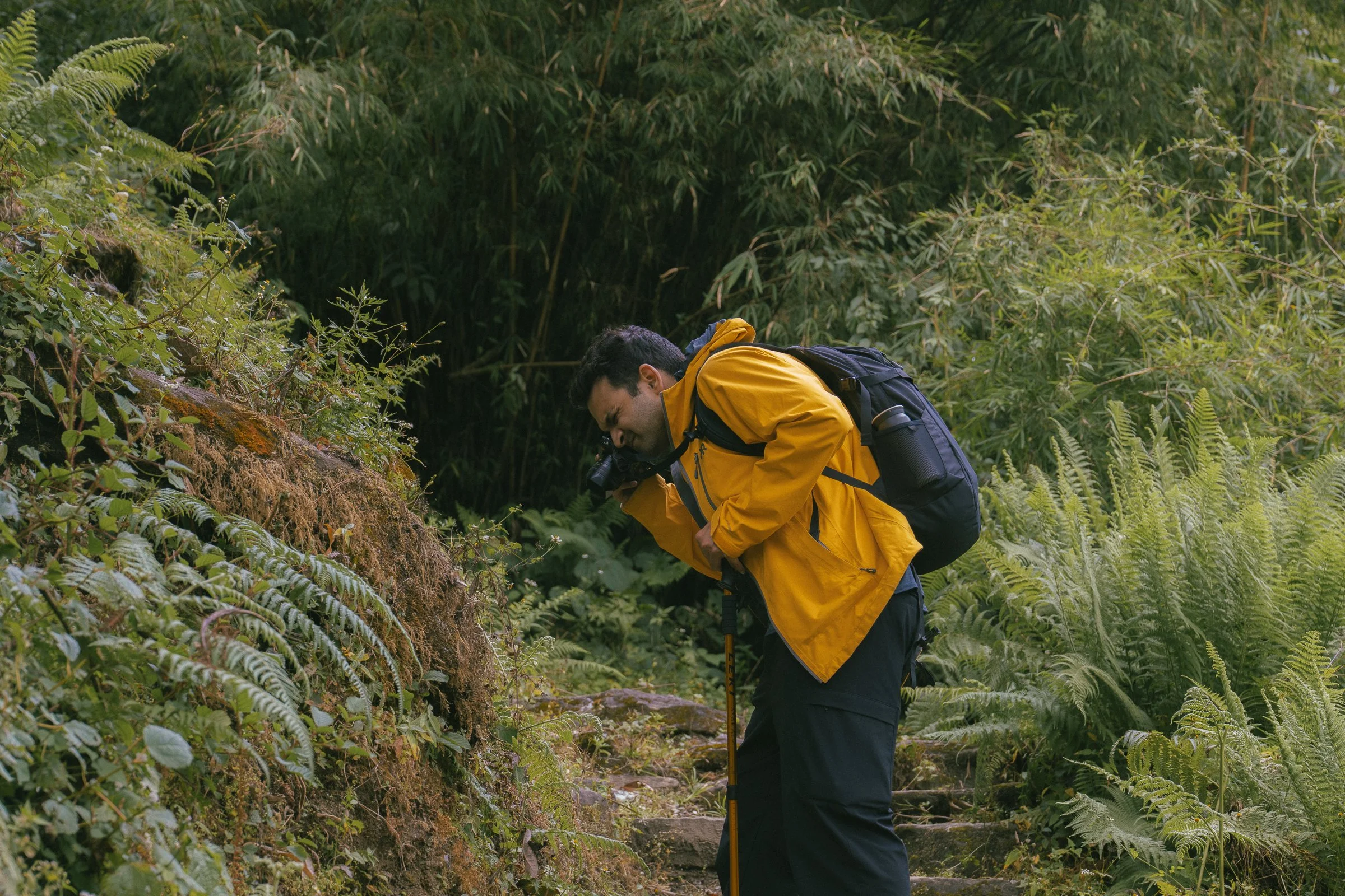
Ahead of the trip, I decided to upgrade my camera and sell all my bulky lens for 61mp Sony A7CR. It ended up being the best decision I did in terms of the gear for the trip.
The goal is to carry as little as you can, and you want the camera to last as long as possible in colder conditions—and Sony came through.
Shot on Sony A7CR + 20-70 F4